Dean Wood
Wood, Forest in Lanarkshire
Scotland
Dean Wood
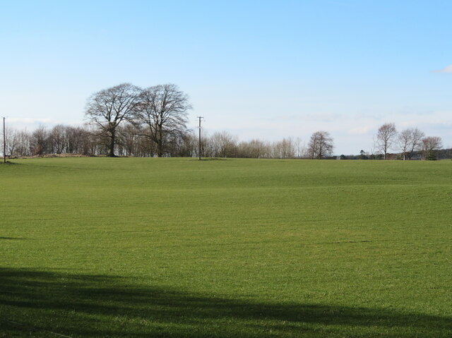
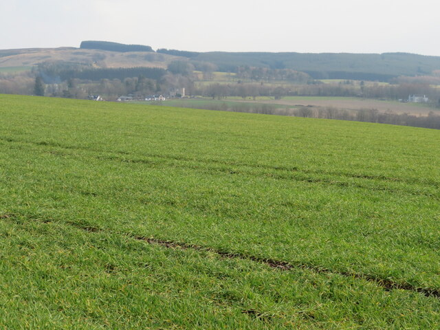
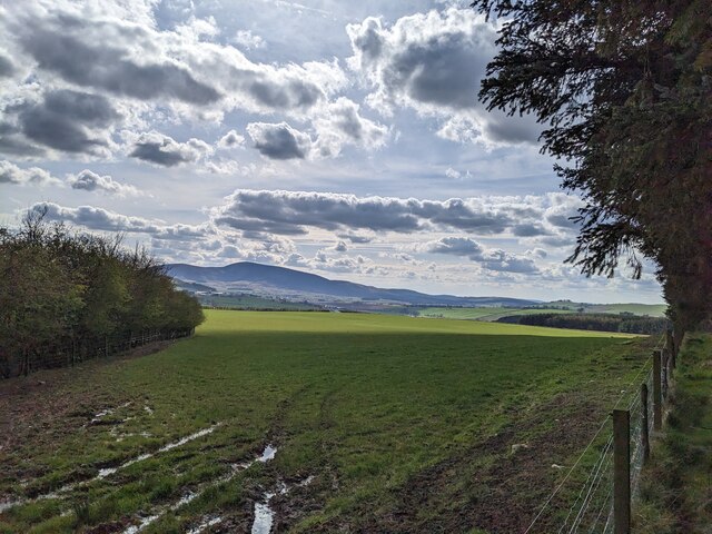
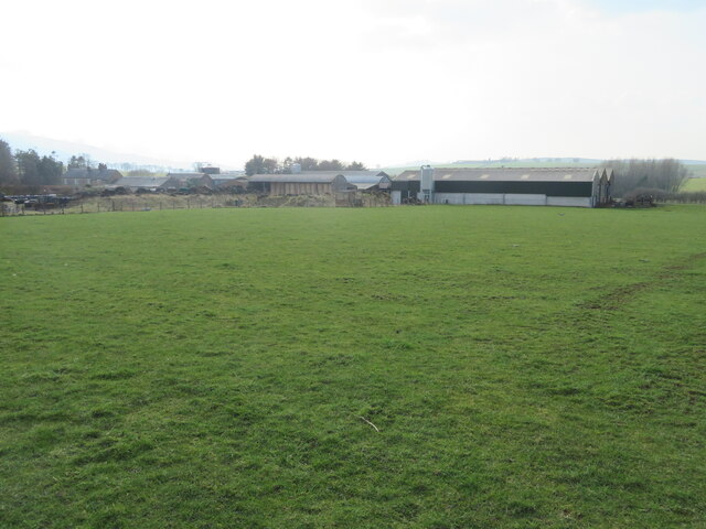
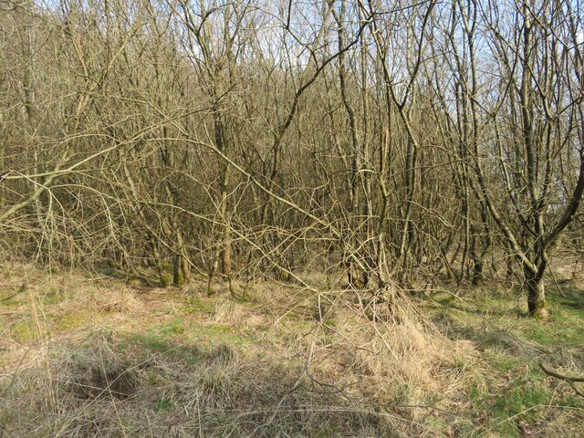
Dean Wood, located in the region of Lanarkshire, Scotland, is a picturesque forest renowned for its natural beauty and rich biodiversity. Covering a vast area of approximately 500 acres, the wood is a haven for flora and fauna, offering visitors an immersive experience in a tranquil and idyllic setting.
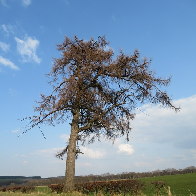
The wood is primarily composed of a mixture of deciduous and coniferous trees, including oak, beech, birch, and pine, creating a diverse and vibrant habitat. Walking through the forest, visitors can enjoy the refreshing scent of the trees and the soothing sound of leaves rustling in the wind.
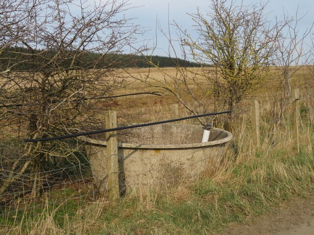
Dean Wood is also home to a variety of wildlife species, making it a popular destination for nature enthusiasts. The forest provides a habitat for several bird species, such as woodpeckers, owls, and various songbirds. Additionally, small mammals like red squirrels, rabbits, and voles can be spotted scurrying through the undergrowth.
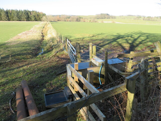
For those seeking outdoor activities, Dean Wood offers a network of well-maintained trails suitable for walking, jogging, and cycling. These pathways weave through the forest, providing visitors with a chance to explore the wood's hidden gems and enjoy breathtaking views of the surrounding landscape.
Furthermore, the wood is equipped with picnic areas, allowing visitors to relax and enjoy a meal amidst nature. The tranquil atmosphere and lush surroundings make Dean Wood an ideal spot for families and individuals looking to unwind and escape the hustle and bustle of everyday life.
In conclusion, Dean Wood, Lanarkshire, is a beautiful forest that offers a diverse range of flora and fauna, as well as recreational activities for visitors of all ages. Whether one seeks a peaceful walk, bird-watching opportunities, or a family picnic, Dean Wood provides a serene and enchanting environment that never fails to captivate its visitors.
If you have any feedback on the listing, please let us know in the comments section below.
Dean Wood Images
Images are sourced within 2km of 55.650468/-3.5860439 or Grid Reference NT0040. Thanks to Geograph Open Source API. All images are credited.


Dean Wood is located at Grid Ref: NT0040 (Lat: 55.650468, Lng: -3.5860439)
Unitary Authority: South Lanarkshire
Police Authority: Lanarkshire
What 3 Words
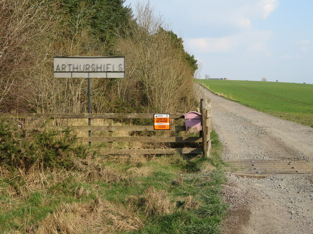
///rifled.attitudes.duet. Near Biggar, South Lanarkshire
Nearby Locations
Related Wikis

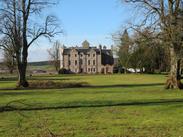
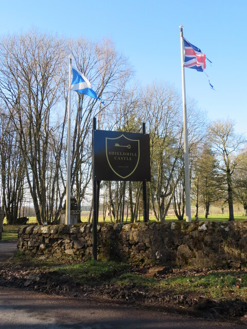
Shieldhill Castle
Shieldhill Castle is a category B listed building located near Biggar in South Lanarkshire. The building dates back to 1199 and is currently being run...

Quothquan
Quothquan (also formerly spelled Couth-Boan, meaning "the beautiful hill"; Scottish Gaelic: A’ Choitcheann, pronounced [ə ˈxɔʰtʲçən̪ˠ], meaning "the common...

Libberton
Libberton is a village and historical parish in South Lanarkshire. The village is approximately 2 miles (3.2 km) north of Quothquan and 2.3 miles (3.68...

South Medwin River
South Medwin, sometimes spelled Medwyn, is a river in the Lanarkshire region of Scotland. Along with the confluence of the North Medwin River it forms...

Thankerton
Thankerton is a small village in South Lanarkshire, Scotland, United Kingdom. It is located between Biggar and Lanark, and situated between Quothquan Law...
Thankerton railway station
Thankerton railway station served the village of Thankerton, South Lanarkshire, Scotland, from 1848 to 1965 on the Caledonian main line. == History... ==
Bankhead (Lanarkshire) railway station
Bankhead railway station served the isolated settlement of Bankhead, east of Carstairs Junction in South Lanarkshire, Scotland from 1867 to 1945 on the...

Newbigging railway station
Newbigging railway station served the hamlet of Newbigging, South Lanarkshire, Scotland from 1867 to 1945 on the Dolphinton branch. == History == The station...
Nearby Amenities
Located within 500m of 55.650468,-3.5860439Have you been to Dean Wood?
Leave your review of Dean Wood below (or comments, questions and feedback).