Shieldhill
Settlement in Lanarkshire
Scotland
Shieldhill
Shieldhill is a small village located in the county of Lanarkshire, Scotland. Situated approximately 5 miles east of Falkirk and 12 miles west of Edinburgh, Shieldhill is nestled in an idyllic rural setting.
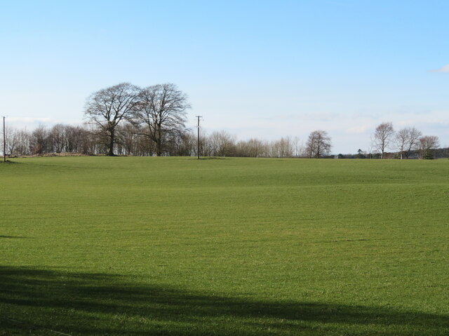
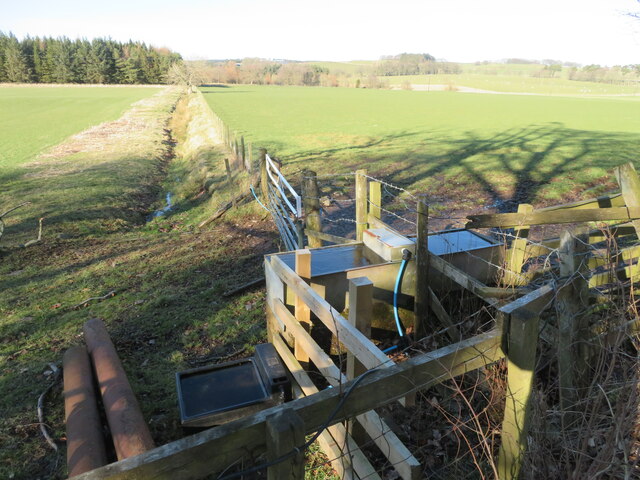
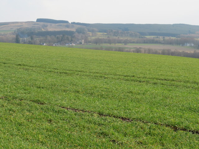
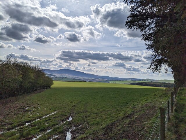
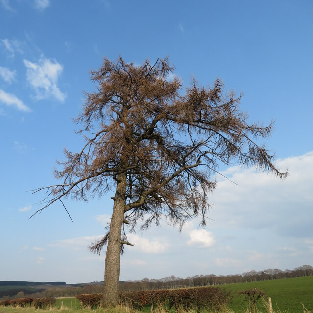
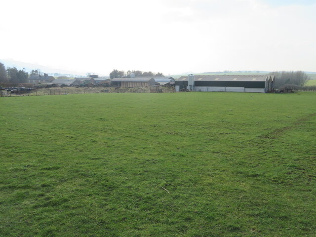
The village is home to a close-knit community, with a population of around 1,000 residents. Shieldhill is known for its peaceful and picturesque surroundings, surrounded by rolling hills and lush green fields. The village offers a tranquil and serene atmosphere, making it an ideal place for those seeking a quiet and peaceful lifestyle.
Despite its small size, Shieldhill boasts a number of amenities for its residents. The village has a primary school, providing education for local children, as well as a church, a community center, and a small selection of local shops. The nearby town of Falkirk offers a wider range of amenities, including supermarkets, leisure facilities, and a variety of shops and restaurants.
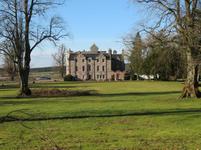
Shieldhill is also known for its historical significance. The village is home to several listed buildings, including Shieldhill Castle, a 16th-century tower house that has been converted into a hotel. The castle is a popular destination for tourists and locals alike, offering a glimpse into the area's rich history.
Overall, Shieldhill offers a peaceful and picturesque setting, with a strong sense of community and a range of amenities to cater to its residents' needs. Its proximity to Falkirk and Edinburgh also provides easy access to larger towns and cities, making it an attractive place to live for those looking for a rural retreat within reach of urban amenities.
If you have any feedback on the listing, please let us know in the comments section below.
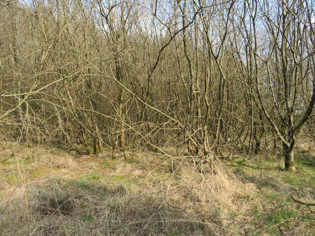
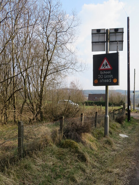
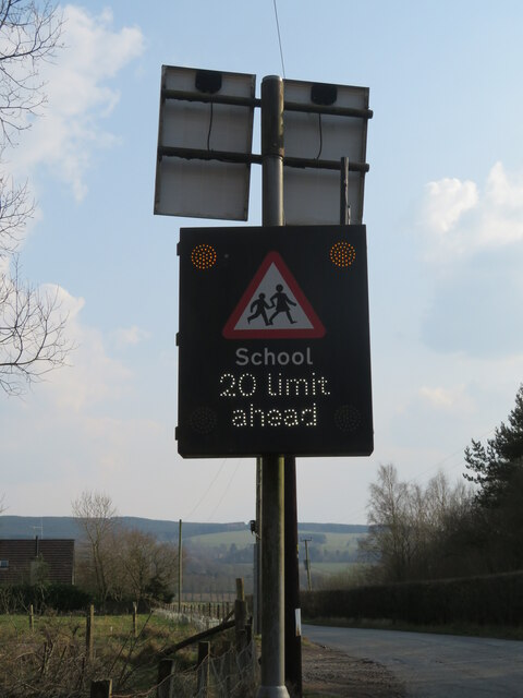
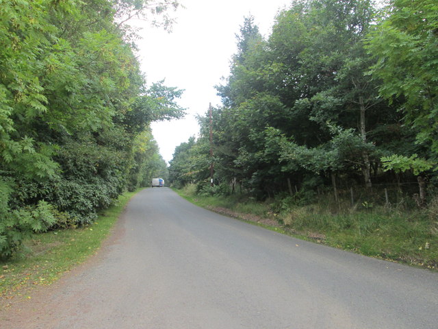
Shieldhill Images
Images are sourced within 2km of 55.643222/-3.5903749 or Grid Reference NT0040. Thanks to Geograph Open Source API. All images are credited.
Shieldhill is located at Grid Ref: NT0040 (Lat: 55.643222, Lng: -3.5903749)
Unitary Authority: South Lanarkshire
Police Authority: Lanarkshire
What 3 Words
///snooping.character.flow. Near Biggar, South Lanarkshire
Nearby Locations
Related Wikis

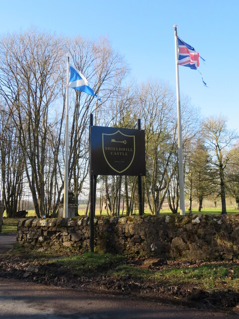
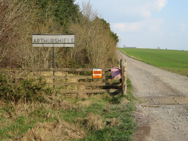
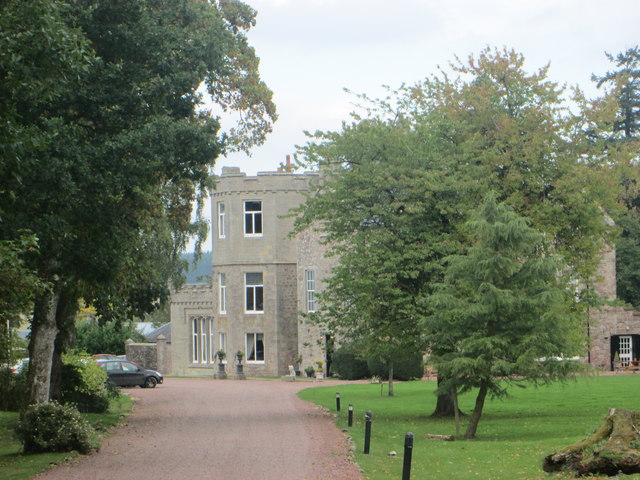
Shieldhill Castle
Shieldhill Castle is a category B listed building located near Biggar in South Lanarkshire. The building dates back to 1199 and is currently being run...

Quothquan
Quothquan (also formerly spelled Couth-Boan, meaning "the beautiful hill"; Scottish Gaelic: A’ Choitcheann, pronounced [ə ˈxɔʰtʲçən̪ˠ], meaning "the common...
Libberton
Libberton is a village and historical parish in South Lanarkshire. The village is approximately 2 miles (3.2 km) north of Quothquan and 2.3 miles (3.68...

Thankerton
Thankerton is a small village in South Lanarkshire, Scotland, United Kingdom. It is located between Biggar and Lanark, and situated between Quothquan Law...

Thankerton railway station
Thankerton railway station served the village of Thankerton, South Lanarkshire, Scotland, from 1848 to 1965 on the Caledonian main line. == History... ==
Symington railway station
Symington railway station served the village of Symington in Scotland between 1848 and 1965. It was on the main line of the Caledonian Railway and for...

Coulter railway station
Coulter railway station served the village of Coulter, South Lanarkshire, Scotland from 1860 to 1965 on the Symington, Biggar and Broughton Railway....

A72 road
The A72 road is a major route in Scotland connecting Hamilton in South Lanarkshire, with Galashiels in the Scottish Borders. It travels for over 97 kilometres...
Nearby Amenities
Located within 500m of 55.643222,-3.5903749Have you been to Shieldhill?
Leave your review of Shieldhill below (or comments, questions and feedback).