North Avenue Strip
Wood, Forest in Lanarkshire
Scotland
North Avenue Strip
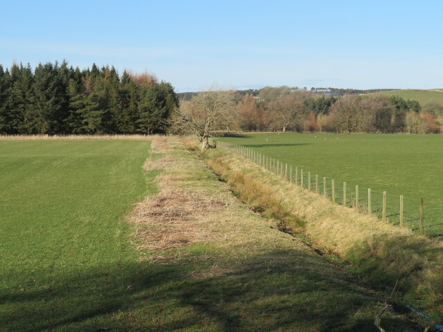
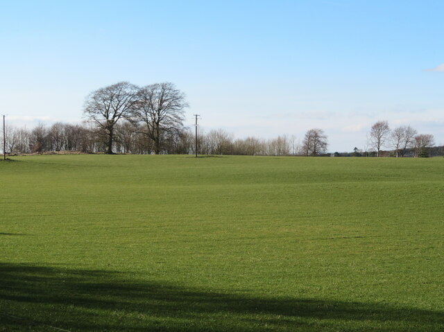
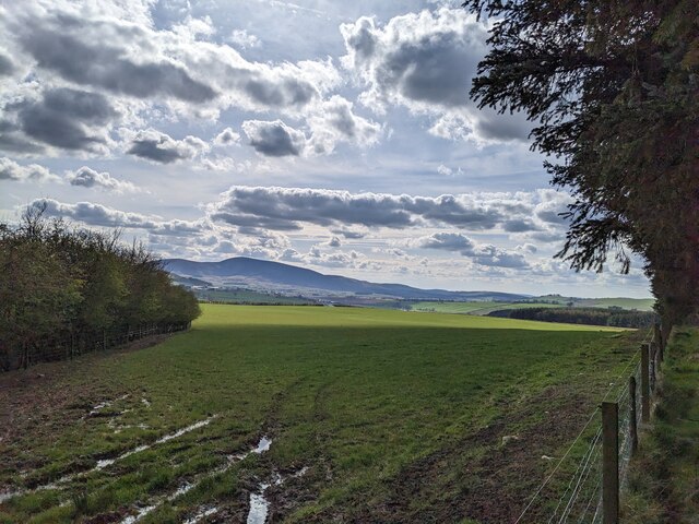
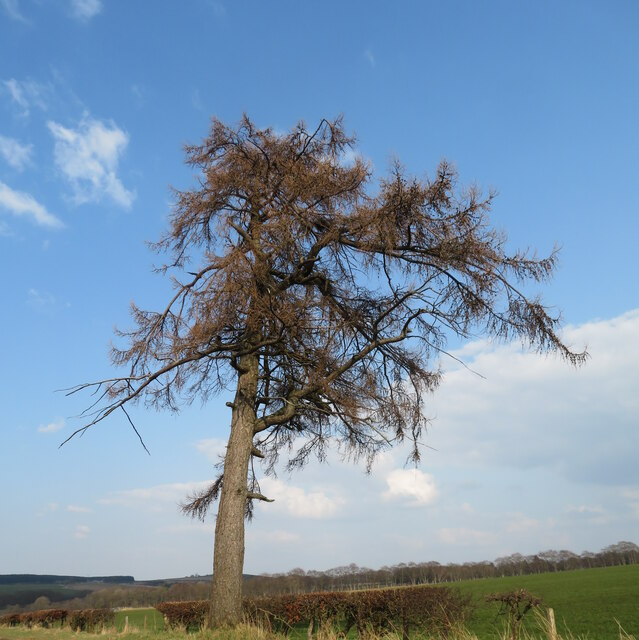
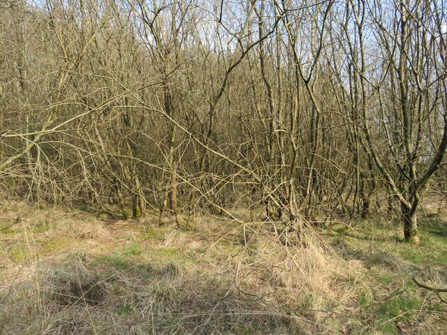
North Avenue Strip is a woodland area located in Lanarkshire, Scotland. Situated within the larger wood and forest region, it covers approximately 10 acres of land. The strip is characterized by a mix of deciduous and coniferous trees, creating a diverse and vibrant ecosystem.
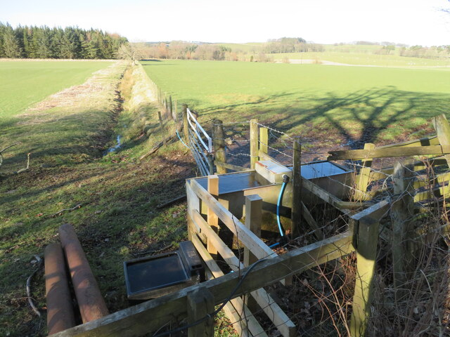
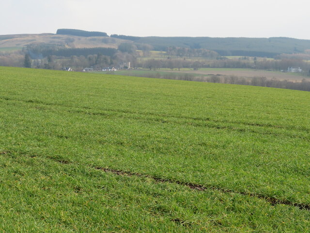
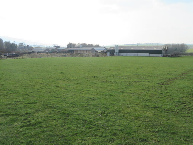
The woodland is known for its natural beauty and is a popular destination for nature enthusiasts and hikers. It offers a tranquil escape from the bustling urban environment nearby, providing visitors with a peaceful and serene atmosphere. The well-maintained trails winding through the strip allow for easy exploration and enjoyment of the surroundings.
The North Avenue Strip is home to a variety of wildlife, including birds, mammals, and insects. Birdwatchers can spot several species, such as woodpeckers, owls, and various songbirds. Squirrels and rabbits are common sightings, adding to the charm of the area.
The strip also serves as an important habitat for several plant species, including bluebells, ferns, and mosses. During springtime, the woodland floor comes alive with vibrant colors, creating a picturesque scene.
In addition to its natural beauty, the North Avenue Strip offers recreational activities for visitors. There are picnic areas and benches scattered throughout the woodland, providing a perfect spot for relaxation and enjoying a meal amidst nature. The strip is also used for educational purposes, with schools often organizing field trips to learn about the local flora and fauna.
Overall, North Avenue Strip in Lanarkshire is a captivating woodland area that offers a peaceful retreat and the opportunity to connect with nature. Its diverse ecosystem, scenic beauty, and recreational facilities make it a cherished destination for locals and tourists alike.
If you have any feedback on the listing, please let us know in the comments section below.
North Avenue Strip Images
Images are sourced within 2km of 55.650537/-3.5792765 or Grid Reference NT0040. Thanks to Geograph Open Source API. All images are credited.

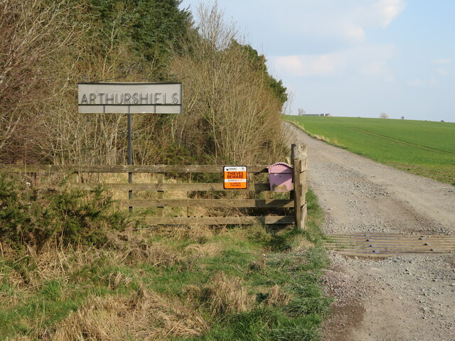


North Avenue Strip is located at Grid Ref: NT0040 (Lat: 55.650537, Lng: -3.5792765)
Unitary Authority: South Lanarkshire
Police Authority: Lanarkshire
What 3 Words
///eyelash.sweeter.mourner. Near Biggar, South Lanarkshire
Nearby Locations
Related Wikis

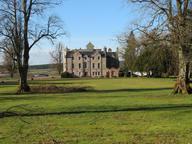
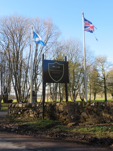
Shieldhill Castle
Shieldhill Castle is a category B listed building located near Biggar in South Lanarkshire. The building dates back to 1199 and is currently being run...

Quothquan
Quothquan (also formerly spelled Couth-Boan, meaning "the beautiful hill"; Scottish Gaelic: A’ Choitcheann, pronounced [ə ˈxɔʰtʲçən̪ˠ], meaning "the common...
Libberton
Libberton is a village and historical parish in South Lanarkshire. The village is approximately 2 miles (3.2 km) north of Quothquan and 2.3 miles (3.68...

South Medwin River
South Medwin, sometimes spelled Medwyn, is a river in the Lanarkshire region of Scotland. Along with the confluence of the North Medwin River it forms...

Thankerton
Thankerton is a small village in South Lanarkshire, Scotland, United Kingdom. It is located between Biggar and Lanark, and situated between Quothquan Law...
Thankerton railway station
Thankerton railway station served the village of Thankerton, South Lanarkshire, Scotland, from 1848 to 1965 on the Caledonian main line. == History... ==
Biggar Castle
Biggar Castle was a 12th-century castle in Biggar, South Lanarkshire, Scotland. It appears to have been abandoned by the 14th century. == History == The...

Newbigging railway station
Newbigging railway station served the hamlet of Newbigging, South Lanarkshire, Scotland from 1867 to 1945 on the Dolphinton branch. == History == The station...
Nearby Amenities
Located within 500m of 55.650537,-3.5792765Have you been to North Avenue Strip?
Leave your review of North Avenue Strip below (or comments, questions and feedback).