Howburn Strip
Wood, Forest in Lanarkshire
Scotland
Howburn Strip
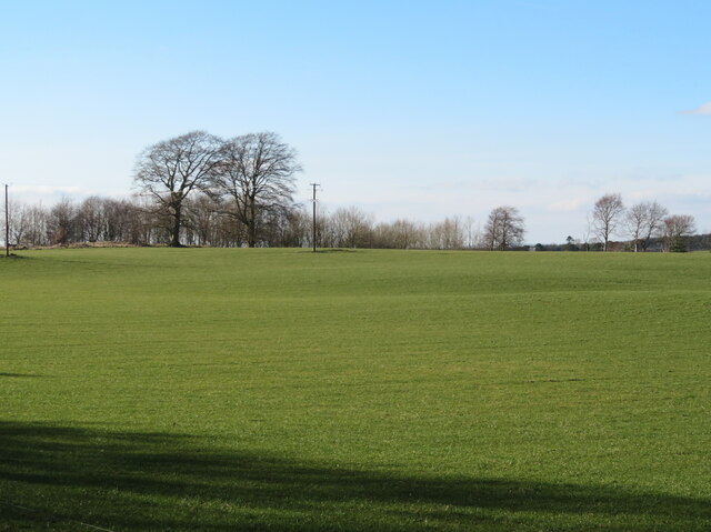
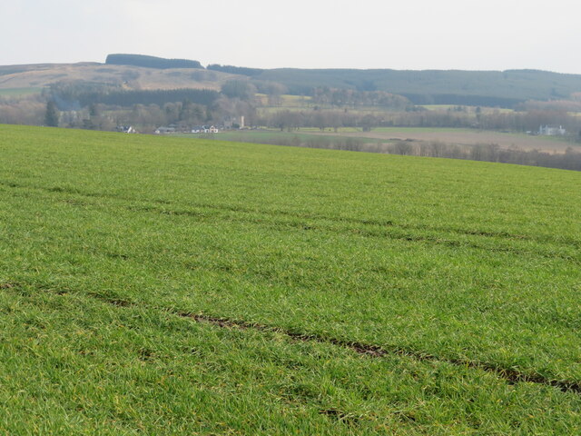
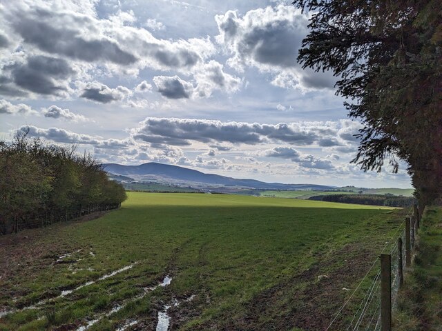
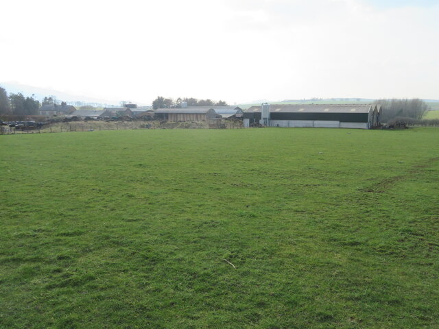
Howburn Strip is a wooded area located in Lanarkshire, Scotland. Covering an approximate area of 45 hectares, it is situated southeast of the village of Howburn and is part of the larger Clyde Valley Woodlands National Nature Reserve.
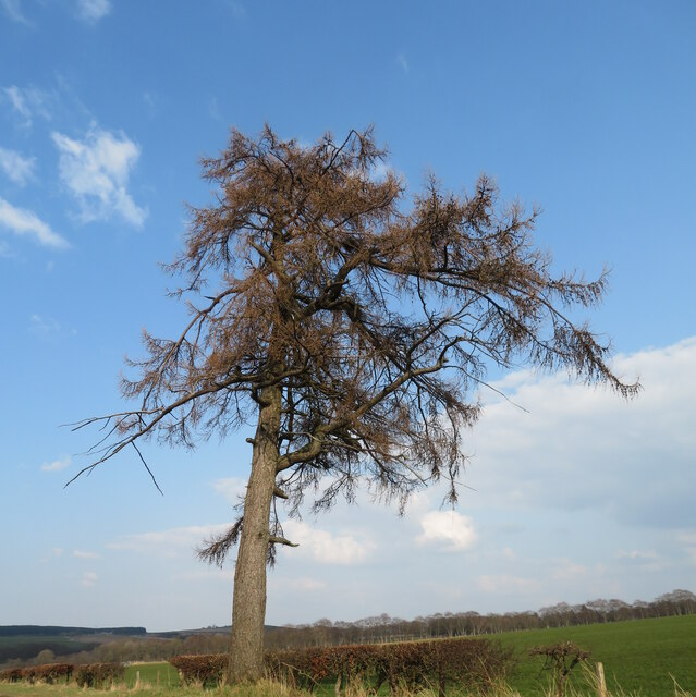
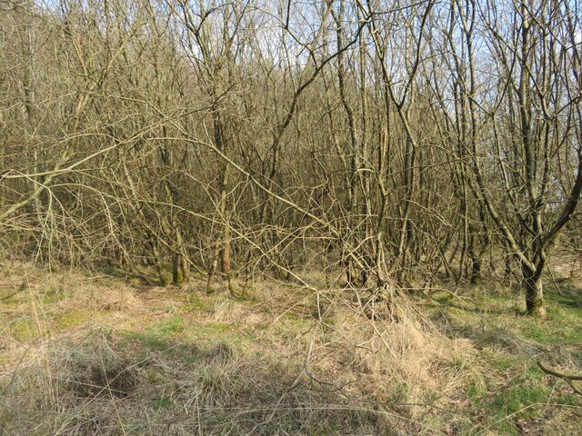
The strip is predominantly composed of mixed woodland, with a variety of tree species such as oak, birch, and ash. The dense forest provides a rich habitat for a diverse range of flora and fauna, making it an important conservation area.
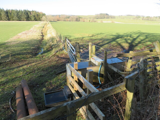
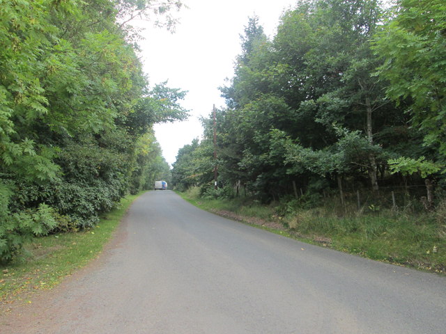
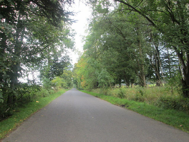
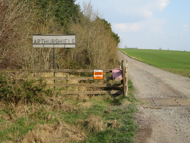
The Howburn Strip is intersected by a network of footpaths, allowing visitors to explore the natural beauty of the area. These paths meander through the woodland, offering picturesque views and opportunities for wildlife spotting.
The strip is home to a wide array of wildlife, including mammals such as red squirrels, badgers, and deer. Birdwatchers will also find plenty to enjoy, with species such as woodpeckers, owls, and various songbirds inhabiting the area.
In addition to its ecological value, Howburn Strip also holds historical significance. It was once part of the ancient Royal Forest of Clyde and has a rich cultural heritage. The remnants of old boundary walls and ditches can still be seen, reminding visitors of its past.
Overall, Howburn Strip is a beautiful and diverse woodland area, offering both natural and historical attractions. It provides a peaceful retreat for nature lovers and a chance to connect with Scotland's natural heritage.
If you have any feedback on the listing, please let us know in the comments section below.
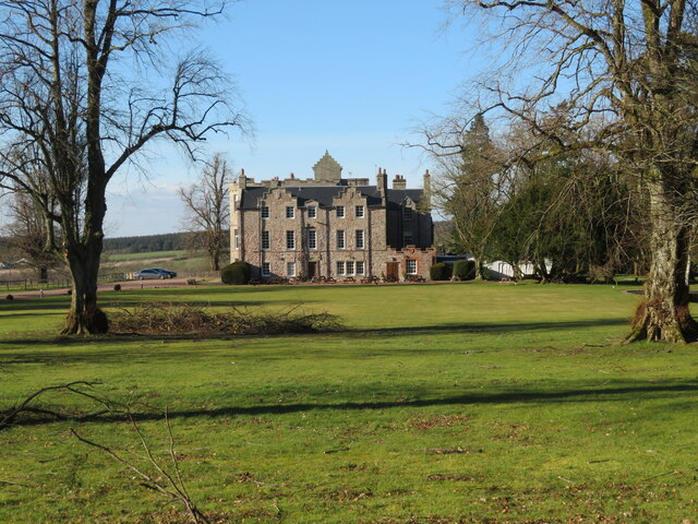
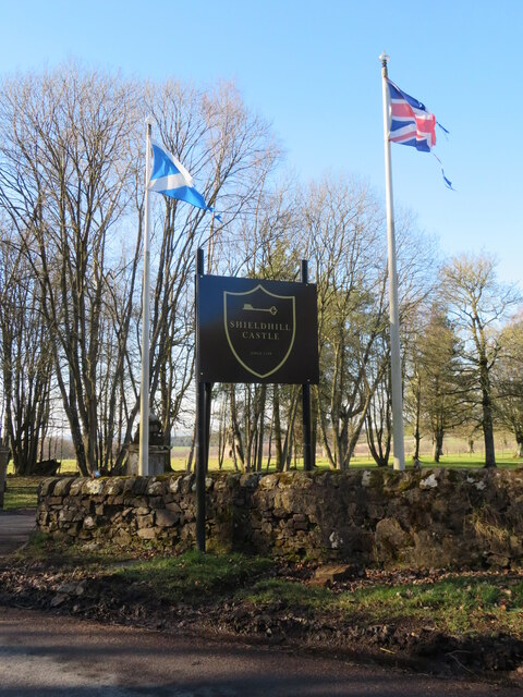
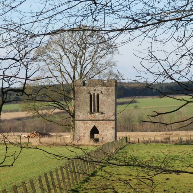
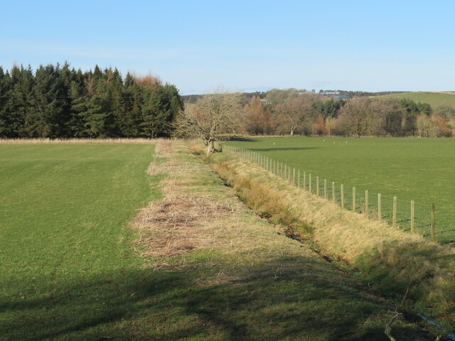
Howburn Strip Images
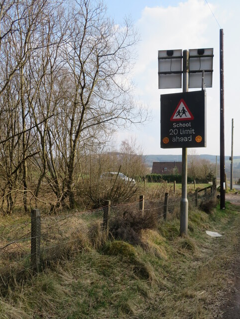
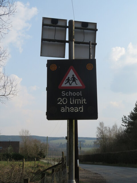
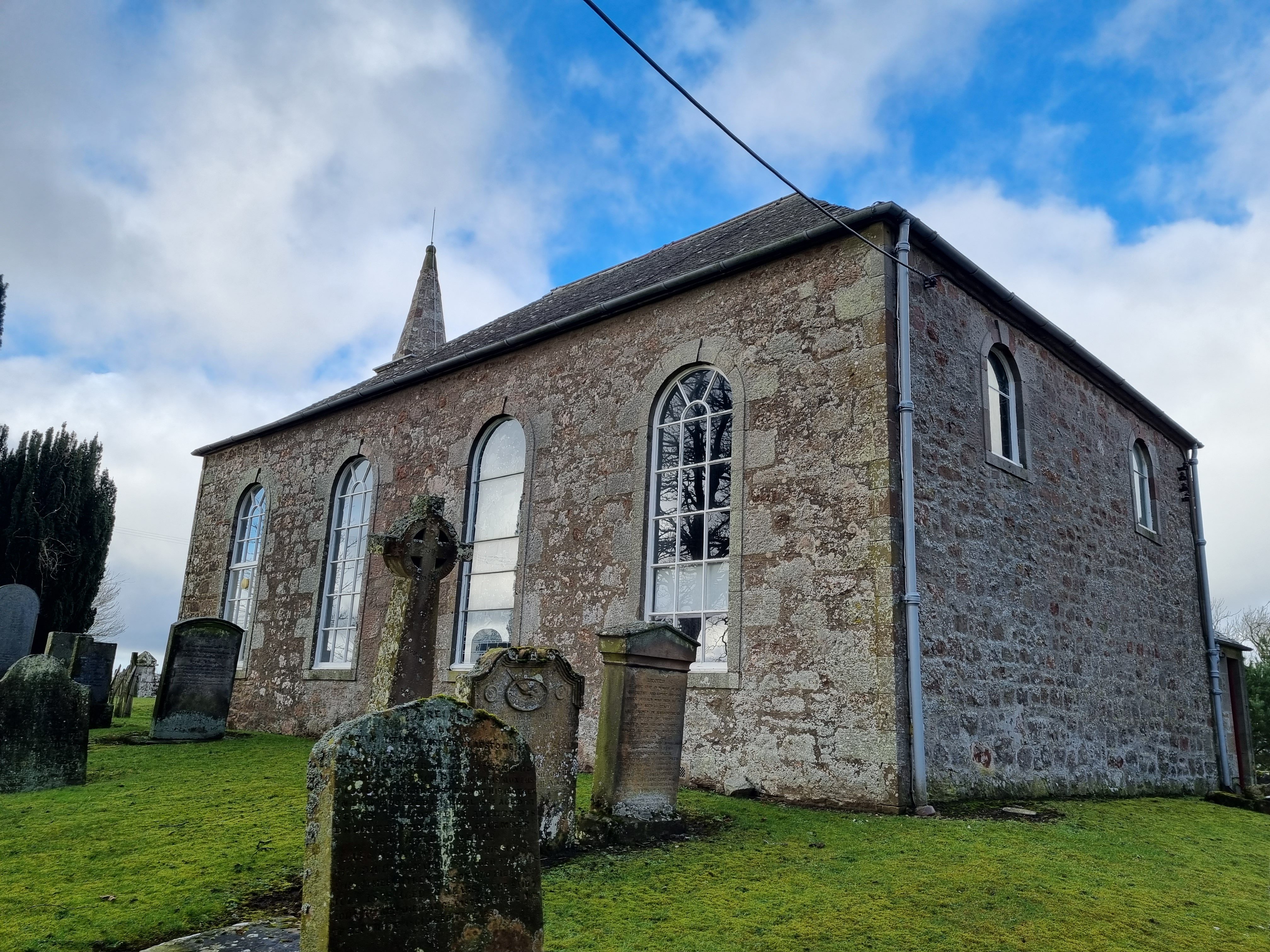
Images are sourced within 2km of 55.644748/-3.5884822 or Grid Reference NT0040. Thanks to Geograph Open Source API. All images are credited.
Howburn Strip is located at Grid Ref: NT0040 (Lat: 55.644748, Lng: -3.5884822)
Unitary Authority: South Lanarkshire
Police Authority: Lanarkshire
What 3 Words
///jolt.replaces.lands. Near Biggar, South Lanarkshire
Nearby Locations
Related Wikis

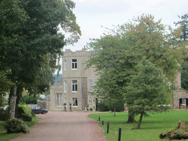
Shieldhill Castle
Shieldhill Castle is a category B listed building located near Biggar in South Lanarkshire. The building dates back to 1199 and is currently being run...

Quothquan
Quothquan (also formerly spelled Couth-Boan, meaning "the beautiful hill"; Scottish Gaelic: A’ Choitcheann, pronounced [ə ˈxɔʰtʲçən̪ˠ], meaning "the common...
Libberton
Libberton is a village and historical parish in South Lanarkshire. The village is approximately 2 miles (3.2 km) north of Quothquan and 2.3 miles (3.68...

Thankerton
Thankerton is a small village in South Lanarkshire, Scotland, United Kingdom. It is located between Biggar and Lanark, and situated between Quothquan Law...
Nearby Amenities
Located within 500m of 55.644748,-3.5884822Have you been to Howburn Strip?
Leave your review of Howburn Strip below (or comments, questions and feedback).