Gun Wood
Wood, Forest in Perthshire
Scotland
Gun Wood
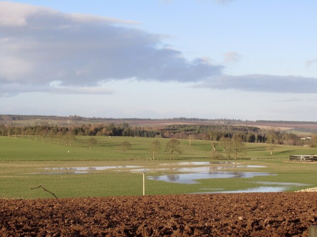
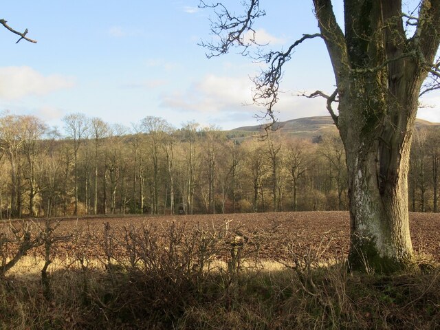
Gun Wood is a picturesque forest located in Perthshire, Scotland. Covering an area of approximately 100 hectares, the wood is known for its stunning natural beauty and diverse range of flora and fauna. It is situated near the village of Wood, in close proximity to the River Tay.
The forest offers a variety of walking trails, making it a popular destination for nature lovers and outdoor enthusiasts. The trails wind through dense woodland, offering visitors the chance to immerse themselves in the peaceful and tranquil surroundings. With its towering trees and lush undergrowth, Gun Wood provides a habitat for a wide array of wildlife, including red squirrels, roe deer, and various bird species.
Gun Wood is also home to a number of rare and protected plant species, adding to its ecological significance. The forest management practices in place prioritize the conservation of these species and the preservation of the natural environment.
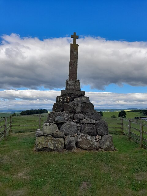
In addition to its natural beauty, Gun Wood has historical significance. The forest has remnants of ancient settlements, including traces of prehistoric structures and a medieval chapel. This makes it an intriguing destination for history enthusiasts and archaeology buffs.
Overall, Gun Wood in Perthshire offers visitors a chance to experience the wonders of nature, explore its diverse flora and fauna, delve into its history, and enjoy a peaceful retreat away from the hustle and bustle of everyday life.
If you have any feedback on the listing, please let us know in the comments section below.
Gun Wood Images
Images are sourced within 2km of 56.294468/-3.6152083 or Grid Reference NO0012. Thanks to Geograph Open Source API. All images are credited.


Gun Wood is located at Grid Ref: NO0012 (Lat: 56.294468, Lng: -3.6152083)
Unitary Authority: Perth and Kinross
Police Authority: Tayside
What 3 Words
///swoop.pampering.film. Near Auchterarder, Perth & Kinross
Nearby Locations
Related Wikis

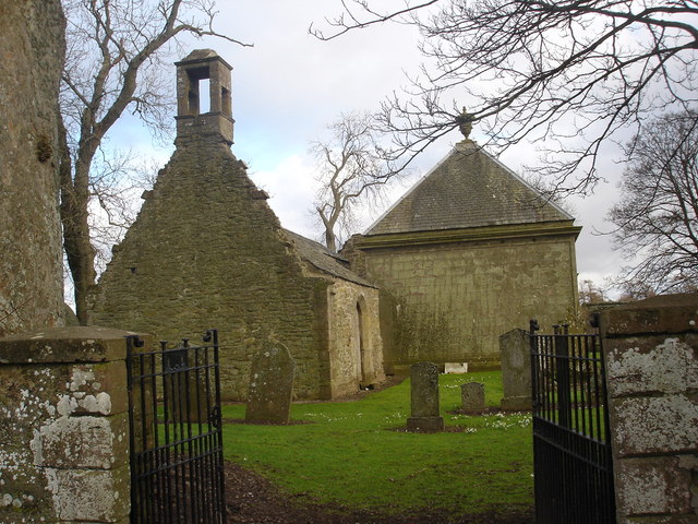
Dunning, Perth and Kinross
Dunning is a small village in Perth and Kinross in Scotland with a population of about 1,000. The village centres around the 12th–13th century former parish...

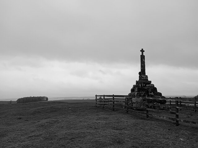
Dupplin Cross
The Dupplin Cross is a carved, monumental Pictish stone, which dates from around 800 AD. It was first recorded by Thomas Pennant in 1769, on a hillside...
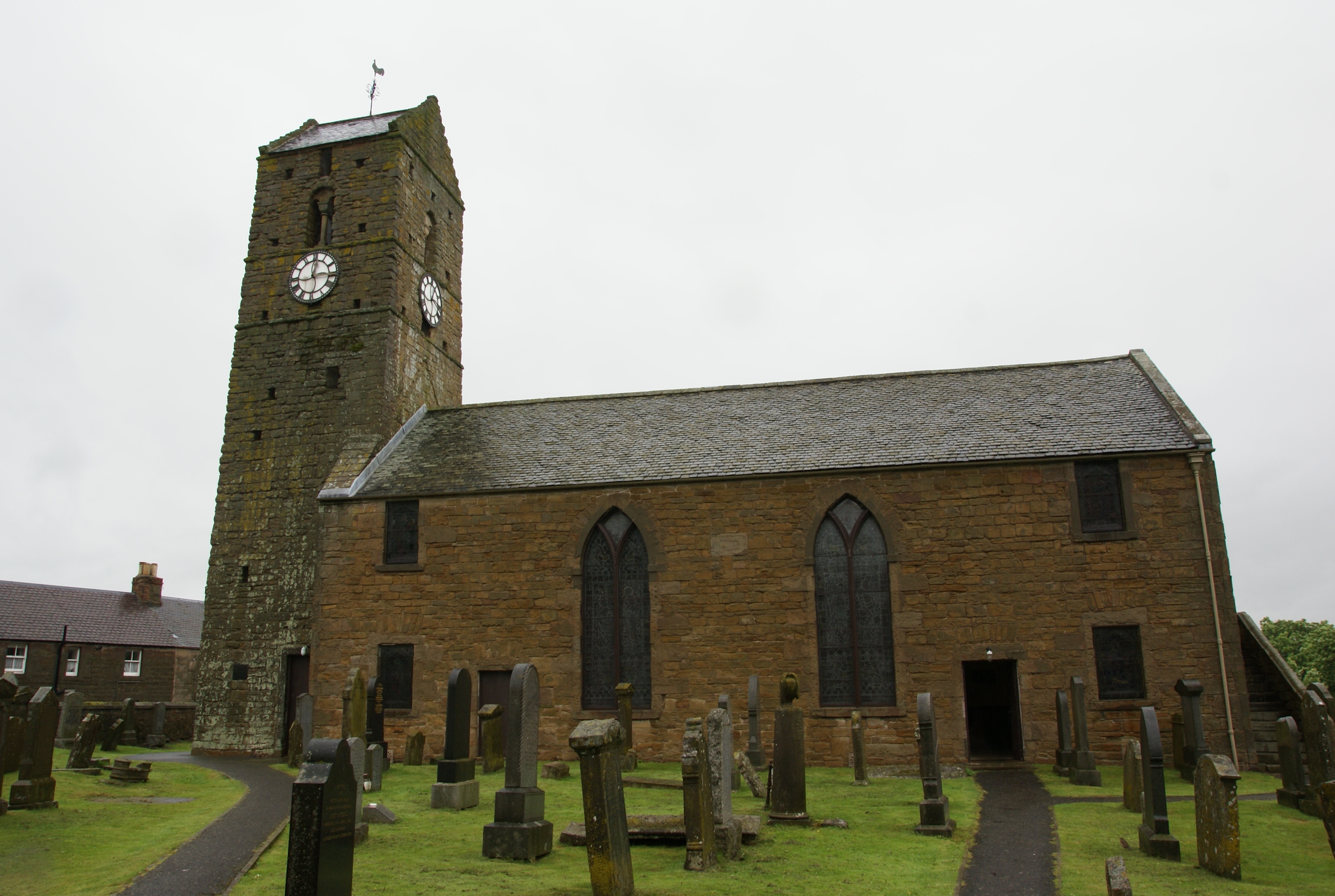
St Serf's Church, Dunning
St Serf's Church in the Scottish village of Dunning, Perth and Kinross is a Category A listed building largely dating to the early 19th century, but incorporating...
Aberuthven
Aberuthven (; Gaelic: Obar Ruadhainn) is a small village in Perth and Kinross, Scotland. It lies approximately 2+1⁄2 miles (4 kilometres) northeast of...
Nearby Amenities
Located within 500m of 56.294468,-3.6152083Have you been to Gun Wood?
Leave your review of Gun Wood below (or comments, questions and feedback).