Herries' Firs
Wood, Forest in Dumfriesshire
Scotland
Herries' Firs
Herries' Firs, located in Dumfriesshire, Scotland, is a stunning wood and forest area that spans over a vast stretch of land. It is renowned for its picturesque beauty and diverse range of flora and fauna. The forest is situated in the heart of the Scottish countryside, surrounded by rolling hills and breathtaking landscapes.
Covering an area of approximately 500 acres, Herries' Firs is characterized by its dense and lush vegetation, mainly consisting of a mixture of hardwood and coniferous trees. Towering Scots pines, oak trees, and beeches dominate the landscape, creating a dense canopy that provides shelter to a wide variety of wildlife.
The forest is a haven for nature enthusiasts and outdoor adventurers alike. It boasts an extensive network of trails and pathways, allowing visitors to explore the woodlands at their leisure. These trails offer stunning views of the surrounding countryside, making it a popular destination for hikers, joggers, and photographers.
The wildlife within Herries' Firs is abundant and diverse. Red squirrels, roe deer, and numerous bird species, including woodpeckers and owls, can be spotted throughout the forest. The area is also known for its vibrant displays of wildflowers, especially during spring and summer, adding a splash of color to the already mesmerizing scenery.
Herries' Firs offers a tranquil and peaceful escape from the hustle and bustle of everyday life, making it a perfect spot for relaxation and rejuvenation. Whether it's a leisurely stroll through the woods, a picnic by a glistening stream, or simply enjoying the serenity of nature, Herries' Firs provides an unforgettable experience for all who visit.
If you have any feedback on the listing, please let us know in the comments section below.
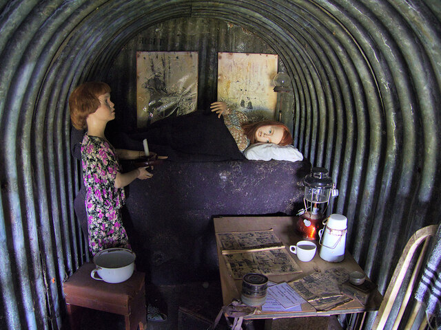
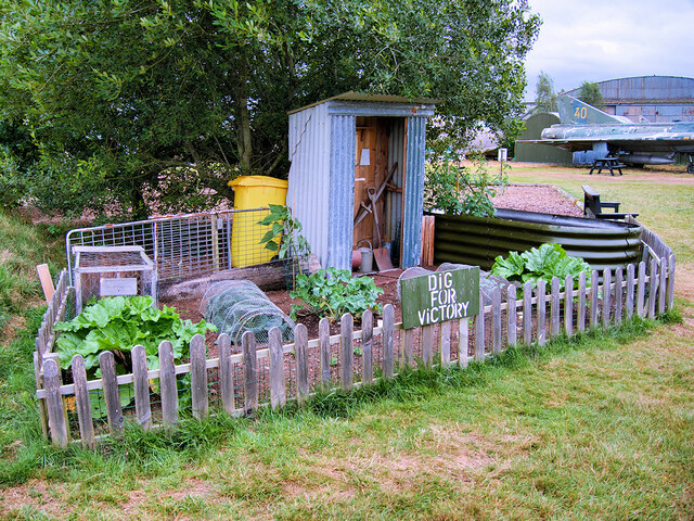
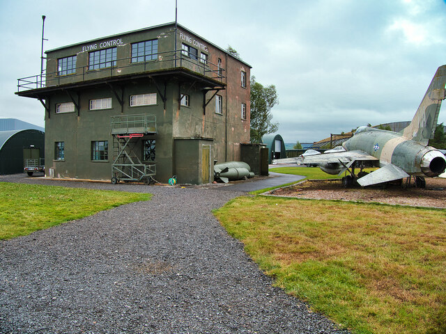
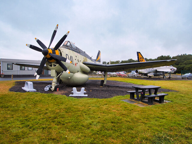
Herries' Firs Images
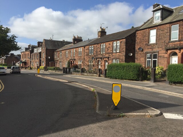
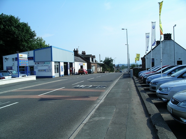
Images are sourced within 2km of 55.087442/-3.5847811 or Grid Reference NX9878. Thanks to Geograph Open Source API. All images are credited.

Herries' Firs is located at Grid Ref: NX9878 (Lat: 55.087442, Lng: -3.5847811)
Unitary Authority: Dumfries and Galloway
Police Authority: Dumfries and Galloway
What 3 Words
///singled.winter.irrigate. Near Locharbriggs, Dumfries & Galloway
Nearby Locations
Related Wikis

Auchen Castle Hotel
Auchen Castle is a wedding destination near Moffat, Dumfries and Galloway, Scotland. With 26 bedrooms, a private lake and falconry school, it has a 5-star...

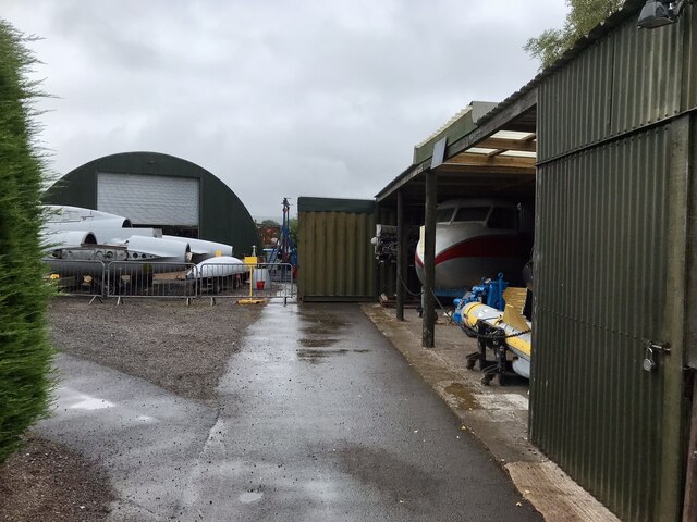
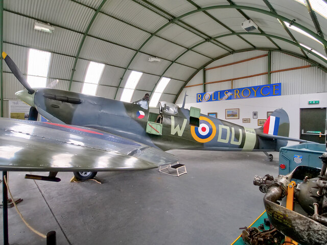
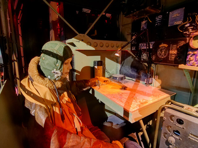
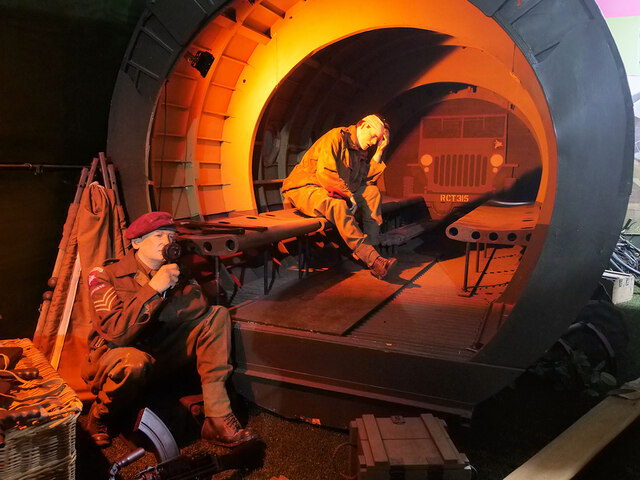
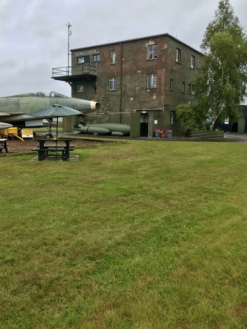
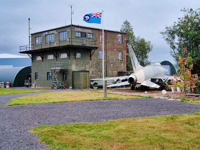
Dumfries and Galloway Aviation Museum
The Dumfries and Galloway Aviation Museum is a volunteer-operated aviation museum located in and around the World War II-era watch tower (control tower...
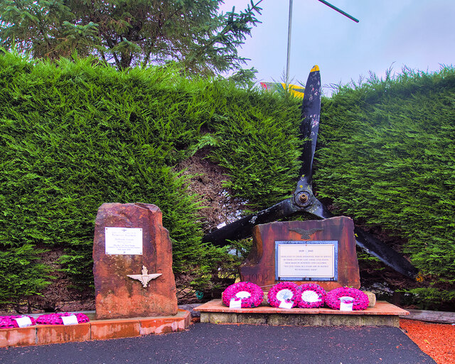
RAF Dumfries
Royal Air Force Dumfries or more simply RAF Dumfries was a former Royal Air Force station located near Dumfries, Dumfries and Galloway Scotland. The airfield...
Lochar Thistle F.C.
Lochar Thistle Football Club are a football club originating in 1969 from the villages of Locharbriggs and Heathhall in the town of Dumfries in Scotland...
Locharbriggs
Locharbriggs is a village in Dumfries and Galloway, Scotland. It is located near the Lochar Water, 2.7 miles (4.3 km) north-northeast of the town of Dumfries...
Dumfries High School
Dumfries High School is situated in a residential area of Marchmount in Dumfries, Scotland. It has been on this site since 1961, and has been expanded...
Nunholm
Nunholm is a cricket ground in Dumfries, Scotland. The first recorded match held on the ground came in 1979 when Scotland B played a combined Central...
Kirkmahoe
Kirkmahoe is a civil parish in Dumfries and Galloway. The parish contains the settlements Kirkton, where the parish church is located, Dalswinton and...
Nearby Amenities
Located within 500m of 55.087442,-3.5847811Have you been to Herries' Firs?
Leave your review of Herries' Firs below (or comments, questions and feedback).