Dalscone Wood
Wood, Forest in Dumfriesshire
Scotland
Dalscone Wood
Dalscone Wood is a charming forest located in Dumfriesshire, Scotland. Covering an area of approximately 25 hectares, the wood is a popular destination for nature lovers and outdoor enthusiasts. The wood is home to a variety of tree species, including oak, birch, and pine, creating a diverse and picturesque landscape.
Visitors to Dalscone Wood can enjoy leisurely walks along well-maintained trails, taking in the sights and sounds of the surrounding wildlife. The wood is also home to a wide array of bird species, making it a great spot for birdwatching.
In addition to its natural beauty, Dalscone Wood offers a range of amenities for visitors, including picnic areas, benches, and information boards providing details about the flora and fauna of the area. The wood is easily accessible by car, with a car park located nearby for convenience.
Overall, Dalscone Wood is a peaceful and tranquil destination where visitors can escape the hustle and bustle of everyday life and immerse themselves in the beauty of nature.
If you have any feedback on the listing, please let us know in the comments section below.
Dalscone Wood Images
Images are sourced within 2km of 55.092882/-3.5900423 or Grid Reference NX9878. Thanks to Geograph Open Source API. All images are credited.


Dalscone Wood is located at Grid Ref: NX9878 (Lat: 55.092882, Lng: -3.5900423)
Unitary Authority: Dumfries and Galloway
Police Authority: Dumfries and Galloway
What 3 Words
///distracts.gratuity.amuses. Near Locharbriggs, Dumfries & Galloway
Nearby Locations
Related Wikis
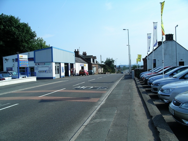
Locharbriggs
Locharbriggs is a village in Dumfries and Galloway, Scotland. It is located near the Lochar Water, 2.7 miles (4.3 km) north-northeast of the town of Dumfries...

Auchen Castle Hotel
Auchen Castle is a wedding destination near Moffat, Dumfries and Galloway, Scotland. With 26 bedrooms, a private lake and falconry school, it has a 5-star...

Kirkmahoe
Kirkmahoe is a civil parish in Dumfries and Galloway. The parish contains the settlements Kirkton, where the parish church is located, Dalswinton and...
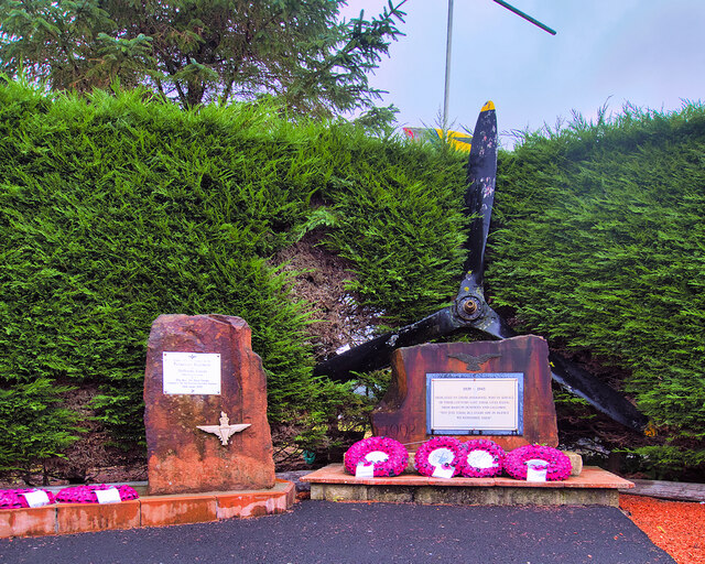
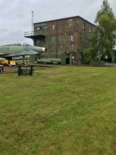
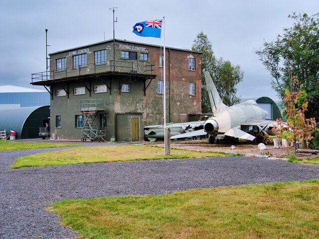
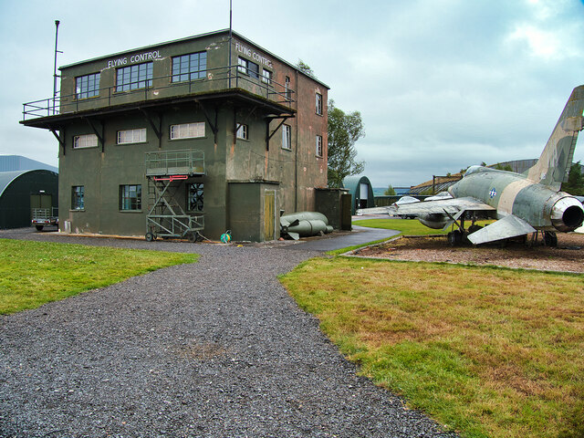
RAF Dumfries
Royal Air Force Dumfries or more simply RAF Dumfries was a former Royal Air Force station located near Dumfries, Dumfries and Galloway Scotland. The airfield...
Nearby Amenities
Located within 500m of 55.092882,-3.5900423Have you been to Dalscone Wood?
Leave your review of Dalscone Wood below (or comments, questions and feedback).