The Grove
Settlement in Dumfriesshire
Scotland
The Grove
The Grove is a small village located in Dumfriesshire, a county in the southern part of Scotland. Situated amidst picturesque countryside, The Grove offers a tranquil and idyllic setting for residents and visitors alike.
The village boasts a population of around 300 people, creating a close-knit and friendly community atmosphere. The Grove is known for its charming stone houses and well-maintained gardens, which contribute to the village's overall aesthetic appeal.
Surrounded by lush green fields and rolling hills, The Grove is an excellent destination for nature enthusiasts. The area is dotted with walking trails and hiking routes, providing ample opportunities to explore the stunning Scottish countryside. Additionally, the nearby River Nith offers fishing enthusiasts a chance to indulge in their favorite pastime.
Despite its small size, The Grove is well-served by local amenities. The village features a primary school, providing education for children in the area. There is also a village hall, which hosts various community events and social gatherings throughout the year.
The Grove is conveniently located within easy reach of larger towns and cities. Dumfries, the county town, is just a short drive away, offering a wider range of amenities such as shops, supermarkets, and leisure facilities.
Overall, The Grove is a charming village that combines natural beauty with a strong sense of community. Whether it's for a leisurely stroll through the countryside or to experience the warmth of a small Scottish village, The Grove has something to offer everyone.
If you have any feedback on the listing, please let us know in the comments section below.
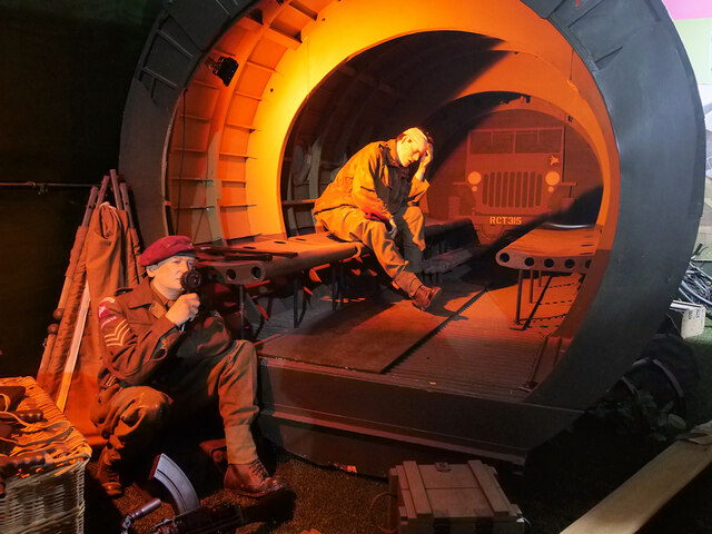
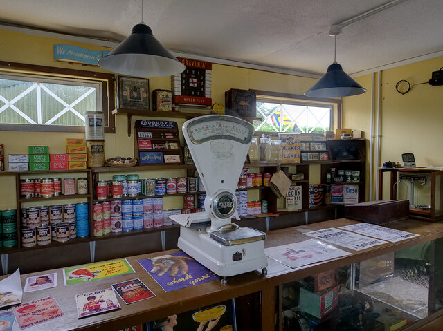
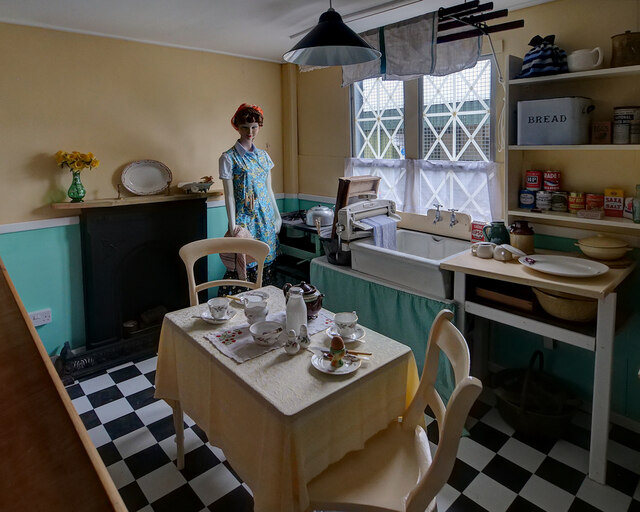
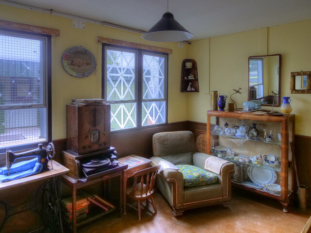
The Grove Images
Images are sourced within 2km of 55.091568/-3.5902252 or Grid Reference NX9878. Thanks to Geograph Open Source API. All images are credited.
The Grove is located at Grid Ref: NX9878 (Lat: 55.091568, Lng: -3.5902252)
Unitary Authority: Dumfries and Galloway
Police Authority: Dumfries and Galloway
What 3 Words
///stores.scribble.punch. Near Locharbriggs, Dumfries & Galloway
Nearby Locations
Related Wikis

Auchen Castle Hotel
Auchen Castle is a wedding destination near Moffat, Dumfries and Galloway, Scotland. With 26 bedrooms, a private lake and falconry school, it has a 5-star...
Locharbriggs
Locharbriggs is a village in Dumfries and Galloway, Scotland. It is located near the Lochar Water, 2.7 miles (4.3 km) north-northeast of the town of Dumfries...

Kirkmahoe
Kirkmahoe is a civil parish in Dumfries and Galloway. The parish contains the settlements Kirkton, where the parish church is located, Dalswinton and...
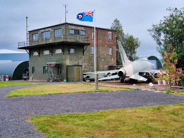
RAF Dumfries
Royal Air Force Dumfries or more simply RAF Dumfries was a former Royal Air Force station located near Dumfries, Dumfries and Galloway Scotland. The airfield...
Lochar Thistle F.C.
Lochar Thistle Football Club are a football club originating in 1969 from the villages of Locharbriggs and Heathhall in the town of Dumfries in Scotland...
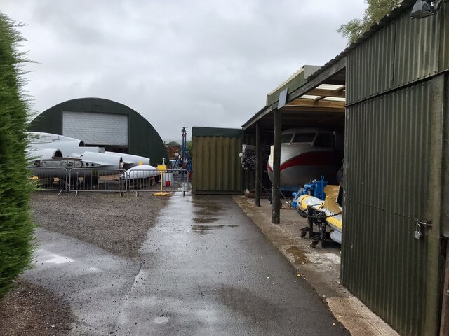
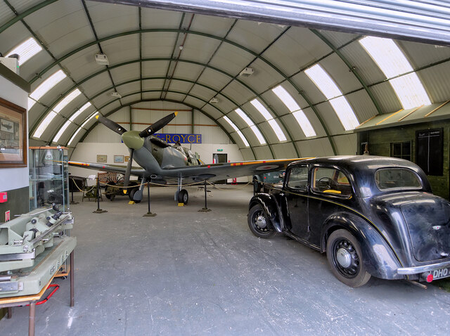
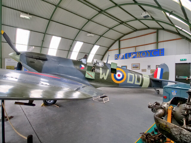
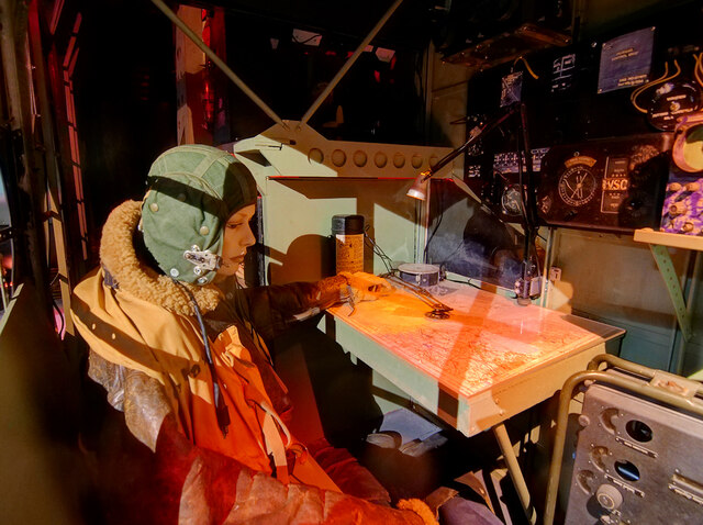
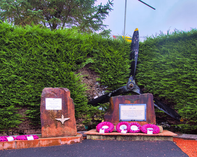
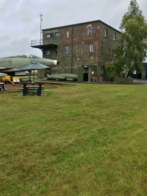
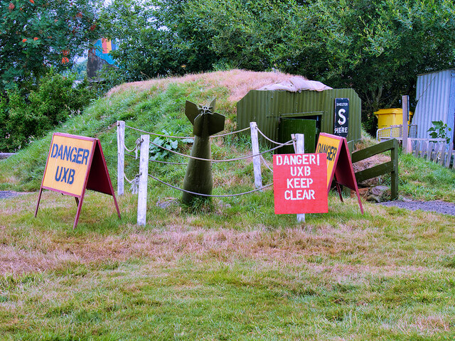
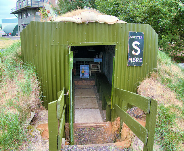
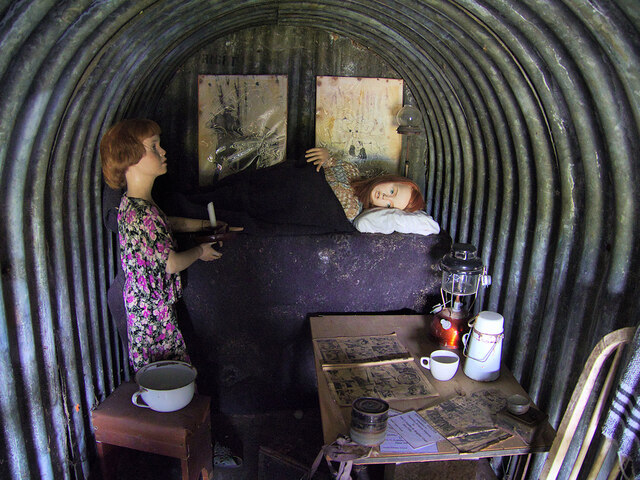
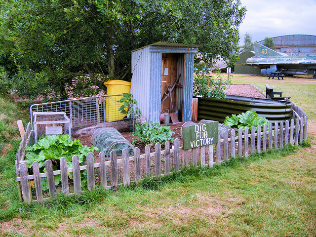
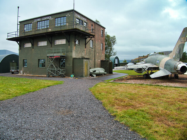
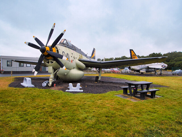
Dumfries and Galloway Aviation Museum
The Dumfries and Galloway Aviation Museum is a volunteer-operated aviation museum located in and around the World War II-era watch tower (control tower...
Nunholm
Nunholm is a cricket ground in Dumfries, Scotland. The first recorded match held on the ground came in 1979 when Scotland B played a combined Central...

Cairn Water
Cairn Water is a small river in Dumfries and Galloway, Scotland. The river, formed by the confluence of the Castlefern, Craigdarroch and Dalquhat, flows...
Nearby Amenities
Located within 500m of 55.091568,-3.5902252Have you been to The Grove?
Leave your review of The Grove below (or comments, questions and feedback).