Long Wood
Wood, Forest in Dumfriesshire
Scotland
Long Wood

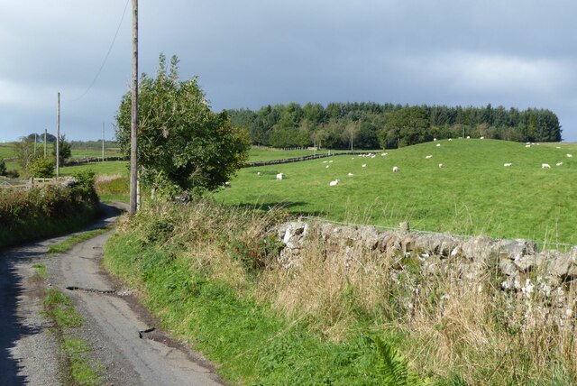
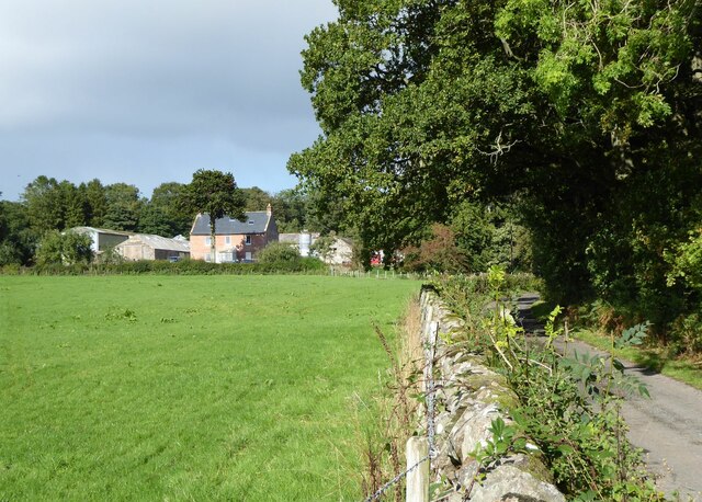
Long Wood is a vast and picturesque forest located in Dumfriesshire, a county in the south of Scotland. Stretching across an area of approximately 2,000 acres, this woodland is renowned for its breathtaking natural beauty and rich biodiversity. The forest is situated near the town of Thornhill and is easily accessible by various means of transportation.
Long Wood is predominantly composed of mixed deciduous trees, including oak, birch, and beech, which create a stunning mosaic of colors during the autumn months. The woodland is intersected by numerous streams and small rivers, adding to its charm and providing a habitat for a diverse range of wildlife.
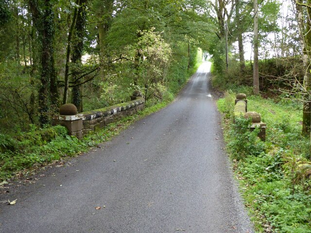
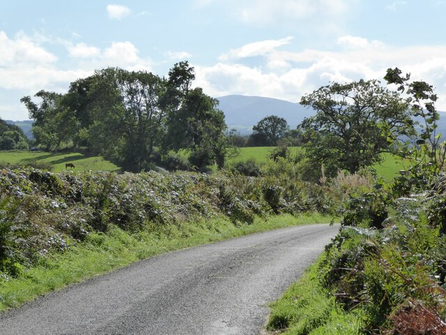
The forest is a popular destination for nature enthusiasts, hikers, and birdwatchers alike. Its extensive network of well-maintained trails offers visitors the opportunity to explore the woodland and discover its hidden treasures. The tranquility of the surroundings makes it an ideal spot for those seeking a peaceful retreat away from the hustle and bustle of everyday life.
Long Wood is home to a variety of wildlife, including red squirrels, roe deer, and numerous bird species like the great spotted woodpecker and the tawny owl. Conservation efforts have been implemented to protect and preserve the forest, ensuring the continued existence of its flora and fauna.
Overall, Long Wood is a captivating natural haven that showcases the beauty of Dumfriesshire's landscape. Its scenic trails, diverse wildlife, and vibrant foliage make it a must-visit destination for anyone seeking an immersive and rejuvenating experience in the heart of Scotland.
If you have any feedback on the listing, please let us know in the comments section below.
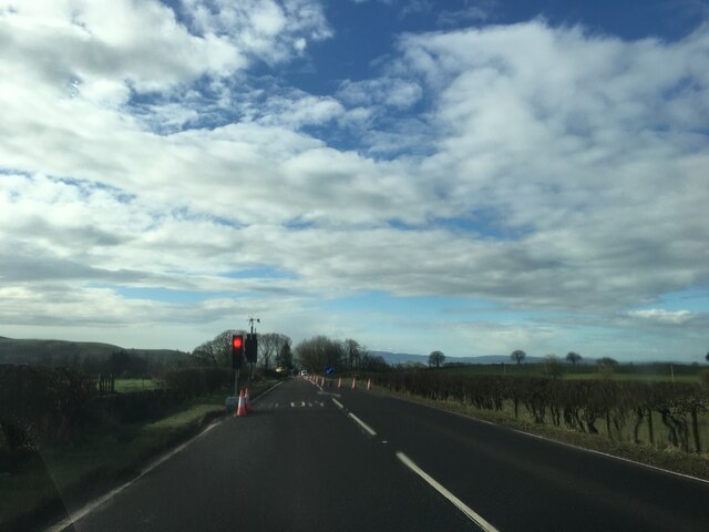
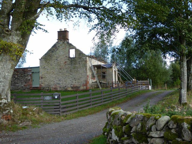
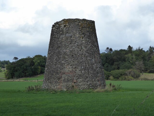
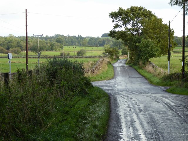
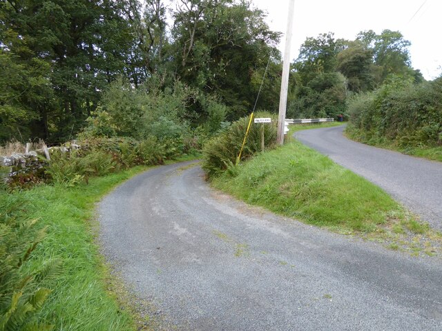
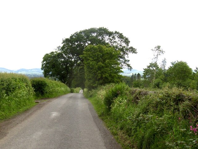
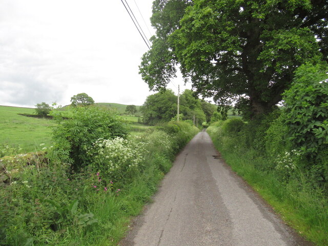
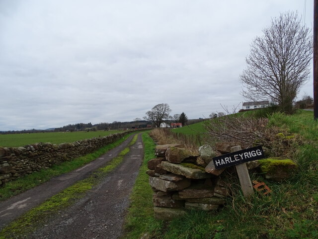
Long Wood Images
Images are sourced within 2km of 55.145866/-3.5869397 or Grid Reference NX9884. Thanks to Geograph Open Source API. All images are credited.


Long Wood is located at Grid Ref: NX9884 (Lat: 55.145866, Lng: -3.5869397)
Unitary Authority: Dumfries and Galloway
Police Authority: Dumfries and Galloway
What 3 Words
///hammocks.pasta.pinging. Near Locharbriggs, Dumfries & Galloway
Nearby Locations
Related Wikis

Amisfield railway station
Amisfield railway station was a station which served Amisfield, in the Scottish county of Dumfries and Galloway. It was served by trains on a local line...

Amisfield
Amisfield is a village in Dumfries and Galloway, Scotland. It is located about 5 miles north of Dumfries and next to the A701 Dumfries to Edinburgh road...

Duncow
Duncow is a small settlement in the civil parish of Kirkmahoe, Dumfries and Galloway, Scotland. Located in the geographical centre of the parish, Duncow...

Ae Bridgend
Ae Bridgend is a hamlet in the Scottish council area of Dumfries and Galloway next to the River Ae. It is located at an altitude of 96.9 meters above sea...
Tinwald, Dumfries and Galloway
Tinwald is a village in Dumfries and Galloway, south-west Scotland, lying a little north of Locharbriggs outside Dumfries. Tinwald is also the name of...

Kirkton, Dumfries and Galloway
Kirkton is a small village between Duncow and Dumfries in Dumfries and Galloway, Scotland. It is located near the River Nith and has a Grade B listed church...

Parkgate, Dumfries and Galloway
Parkgate is a small village in Dumfries and Galloway, Scotland. The village centre is located just to the east of the A701 approximately 8 miles (13 km...
Shieldhill railway station
Shieldhill railway station was a station which served Shieldhill, in the Scottish county of Dumfries and Galloway. It was served by trains on a local line...
Nearby Amenities
Located within 500m of 55.145866,-3.5869397Have you been to Long Wood?
Leave your review of Long Wood below (or comments, questions and feedback).