Hecket Hill

Hill, Mountain in Dumfriesshire

Scotland

Hecket Hill

Rowing up Getting in the silage off Blairhall Lane near Amisfield.
Rowing up Credit: Richard Webb

Hecket Hill is a prominent hill located in the region of Dumfriesshire, Scotland. Standing at an impressive height of 706 meters (2,316 feet), it is renowned for its breathtaking beauty and outstanding views of the surrounding landscape.

Situated within the Southern Uplands, Hecket Hill possesses a distinct rounded shape, typical of the hills in this area. Its slopes are covered in a mix of heather, grasses, and scattered rocky outcrops, providing a diverse habitat for a variety of flora and fauna.

The hill is a popular destination for hikers and nature enthusiasts, offering a range of walking trails that cater to different levels of difficulty. The ascent to the summit can be challenging, but the reward is well worth it. On a clear day, visitors are treated to panoramic vistas stretching across Dumfriesshire, with the rolling hills and valleys below and the distant peaks of the Galloway Forest Park visible in the distance.

Hecket Hill is also steeped in history and folklore. It is said that the hill was once used as a lookout point during the Roman occupation of Britain, providing a strategic vantage point for monitoring the surrounding area. Local legends also speak of hidden caves and treasure buried within the hill, adding an air of mystery to its already enchanting allure.

Whether you are a keen hiker, nature lover, or simply seeking a place of tranquility and natural beauty, Hecket Hill offers an unforgettable experience that captures the essence of Dumfriesshire's stunning landscape.

If you have any feedback on the listing, please let us know in the comments section below.
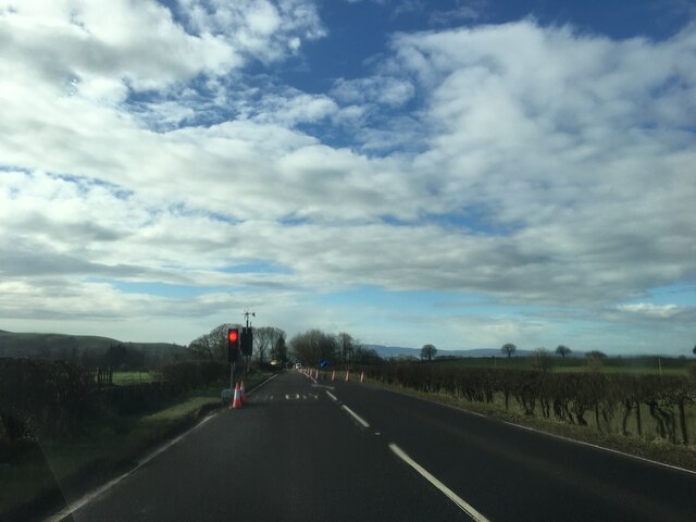
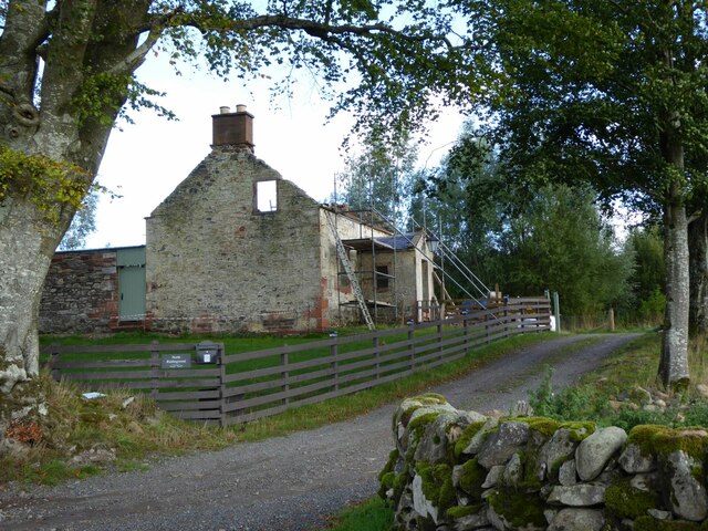
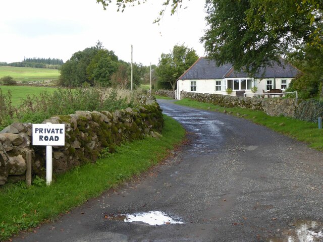
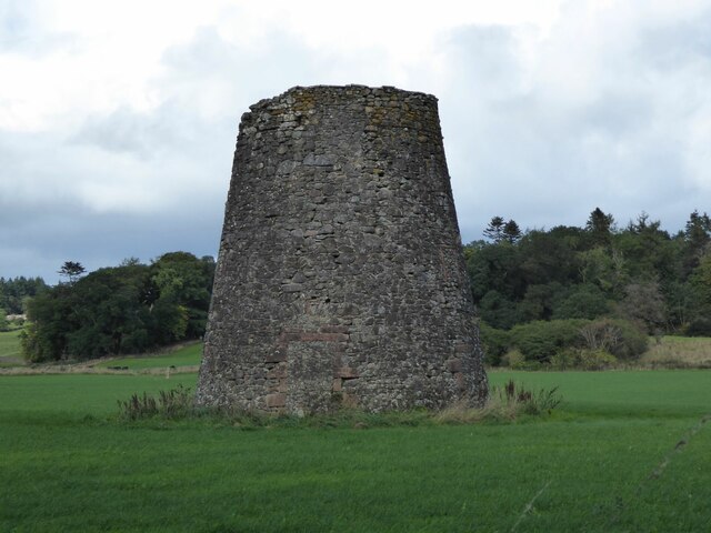
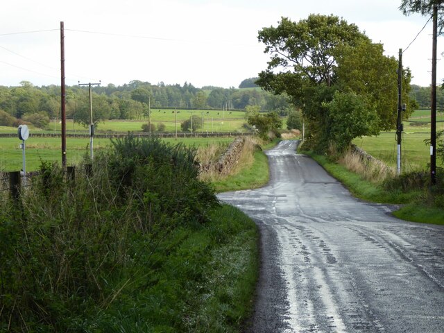
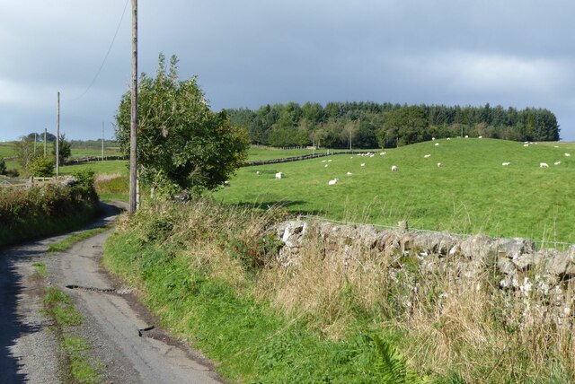
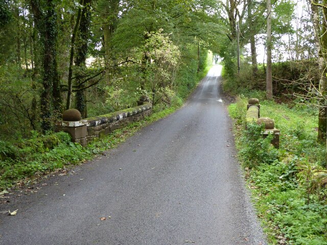
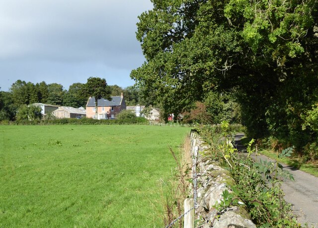
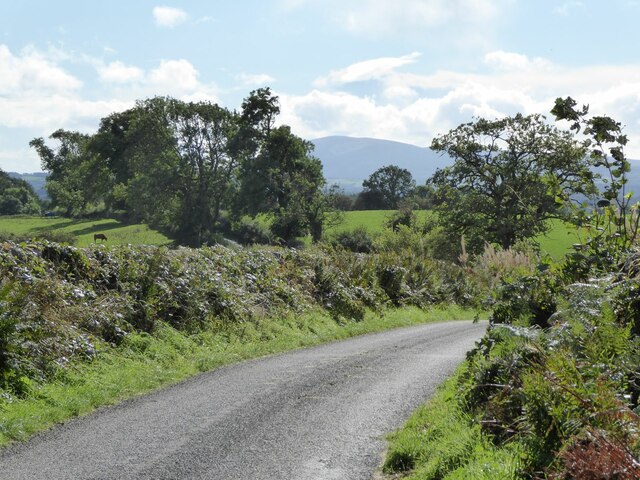
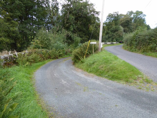
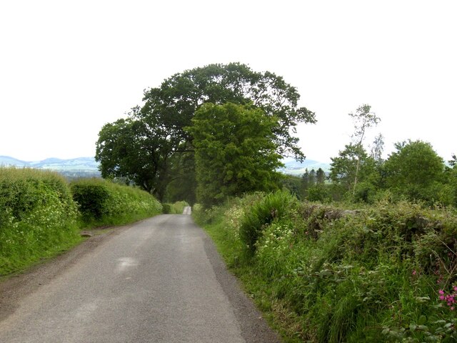
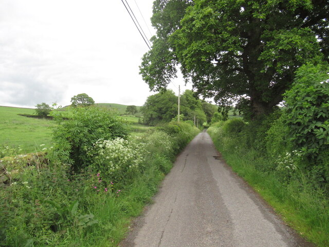
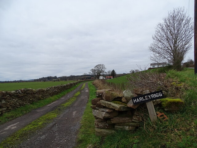
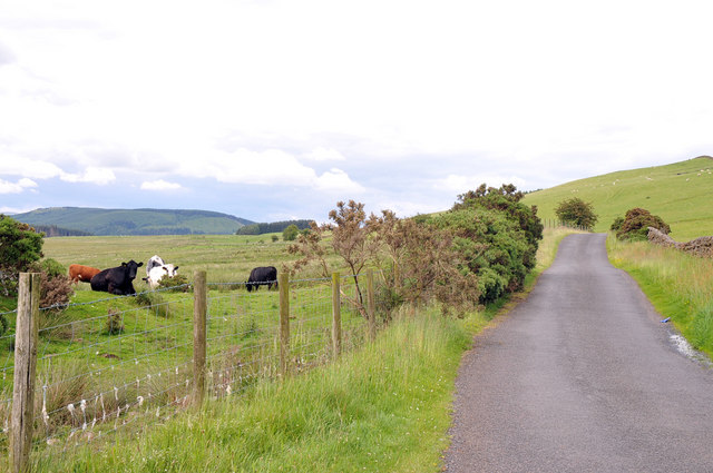
Hecket Hill Images

Images are sourced within 2km of 55.146603/-3.5924767 or Grid Reference NX9884. Thanks to Geograph Open Source API. All images are credited.

Rowing up Getting in the silage off Blairhall Lane near Amisfield.
Rowing up
Getting in the silage off Blairhall Lane near Amisfield.
Roadworks on the A701 at Johnfield
North Riddingwood Undergoing major refurbishment!
North Riddingwood
Undergoing major refurbishment!
The track to Ellerslee Past Ellerslee Cottage.
The track to Ellerslee
Past Ellerslee Cottage.
Duncow windmill (disused) 'The stump of a tower windmill, some 30 ft high, ground diameter 20 ft, tapering to about 12 ft, stands about 1/2 mile NE of Duncow House. The structure is massive, built of sandstone rubble. There are two doors, one of which has been blocked up. This is a good example of an early tower mill, dating from the late 17th or early 18th centuries; it is in good condition, though open to the weather.'  <span class="nowrap"><a title="https://canmore.org.uk/site/65849/duncow-windmill" rel="nofollow ugc noopener" href="https://canmore.org.uk/site/65849/duncow-windmill">Link</a><img style="margin-left:2px;" alt="External link" title="External link - shift click to open in new window" src="https://s1.geograph.org.uk/img/external.png" width="10" height="10"/></span>
Duncow windmill (disused)
'The stump of a tower windmill, some 30 ft high, ground diameter 20 ft, tapering to about 12 ft, stands about 1/2 mile NE of Duncow House. The structure is massive, built of sandstone rubble. There are two doors, one of which has been blocked up. This is a good example of an early tower mill, dating from the late 17th or early 18th centuries; it is in good condition, though open to the weather.' LinkExternal link
Road junction by old windmill Turn left for Castlehill.
Road junction by old windmill
Turn left for Castlehill.
Sheep in pasture near Auchencairn The minor road continues to Guillyburn.
Sheep in pasture near Auchencairn
The minor road continues to Guillyburn.
Knowehead of Auchencairn Tidy farm!
Knowehead of Auchencairn
Tidy farm!
Lodge to Riddingwood House In Nithsdale.
Lodge to Riddingwood House
In Nithsdale.
Parkburn Bridge Surprisingly over the Park Burn!
Parkburn Bridge
Surprisingly over the Park Burn!
Netherhall farm With Hecket Hill on the right.
Netherhall farm
With Hecket Hill on the right.
The road to Locharbriggs With Criffel in the distance.
The road to Locharbriggs
With Criffel in the distance.
The turning for Hazelrig South of Amisfield Tower.
The turning for Hazelrig
South of Amisfield Tower.
New mown grass Starting off a field of silage near Amisfield.
New mown grass
Starting off a field of silage near Amisfield.
Blairhall Road, Amisfield
Lane near Amisfield
Lane near Amisfield
Harleyrigg Harleyrigg road-end.
Harleyrigg
Harleyrigg road-end.
Road from Auchencairn to Ae
Show me another place!

Hecket Hill is located at Grid Ref: NX9884 (Lat: 55.146603, Lng: -3.5924767)

Unitary Authority: Dumfries and Galloway

Police Authority: Dumfries and Galloway

What 3 Words

///sinkhole.cold.padlock. Near Locharbriggs, Dumfries & Galloway

Nearby Locations

Long Wood Hecket Hill

Related Wikis

Amisfield railway station

Amisfield railway station was a station which served Amisfield, in the Scottish county of Dumfries and Galloway. It was served by trains on a local line...

Duncow

Duncow is a small settlement in the civil parish of Kirkmahoe, Dumfries and Galloway, Scotland. Located in the geographical centre of the parish, Duncow...

Amisfield

Amisfield is a village in Dumfries and Galloway, Scotland. It is located about 5 miles north of Dumfries and next to the A701 Dumfries to Edinburgh road...

Ae Bridgend

Ae Bridgend is a hamlet in the Scottish council area of Dumfries and Galloway next to the River Ae. It is located at an altitude of 96.9 meters above sea...

Nearby Amenities

Located within 500m of 55.146603,-3.5924767
Power: pole
Lat/Long: 55.1446211/-3.599266
Power: pole
Lat/Long: 55.1450289/-3.5981918
Power: pole
Lat/Long: 55.1454175/-3.5972181
Power: pole
Lat/Long: 55.145843/-3.5961516
Power: pole
Lat/Long: 55.1462478/-3.5951135
Power: pole
Lat/Long: 55.1466836/-3.5940445
Power: pole
Lat/Long: 55.1472091/-3.5927411
Power: pole
Lat/Long: 55.1478678/-3.591067
Power: pole
Lat/Long: 55.1482764/-3.5900286
Power: pole
Lat/Long: 55.1486782/-3.5890472
Power: pole
Lat/Long: 55.1490448/-3.5880786
Power: pole
Lat/Long: 55.1494525/-3.5870817
Power: pole
Lat/Long: 55.1473887/-3.5902424
Power: pole
Lat/Long: 55.1469088/-3.5894335
Power: pole
Lat/Long: 55.1464319/-3.5886273
Power: pole
Lat/Long: 55.1460285/-3.5973495
Power: pole
Lat/Long: 55.1466365/-3.5986452
Power: pole
Lat/Long: 55.1483419/-3.5994128
The data included in this document is from www.openstreetmap.org. The data is made available under ODbL.

Have you been to Hecket Hill?

Leave your review of Hecket Hill below (or comments, questions and feedback).