Creag na Criche

Hill, Mountain in Perthshire

Scotland

Creag na Criche

Moorland near Little Glenshee Moorland east of Little Glenshee, viewed from the hillside track to the north-west, with the paps of the Lomonds visible on the horizon to the left.
Moorland near Little Glenshee Credit: Scott Cormie

Creag na Criche is a prominent hill located in Perthshire, Scotland. It is situated approximately 5 miles northeast of the town of Crieff and rises to a height of 620 meters (2,034 feet) above sea level. The hill is part of the Grampian Mountains, which stretch across the central and northeastern regions of Scotland.

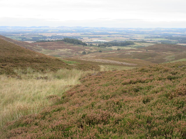
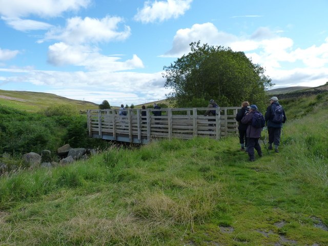
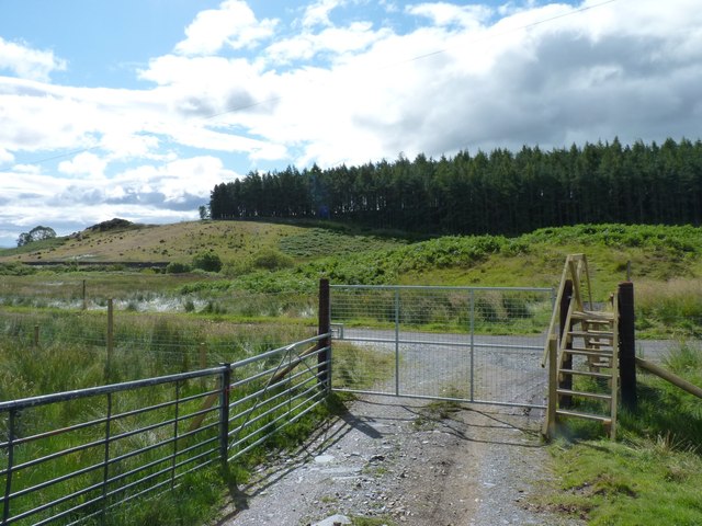
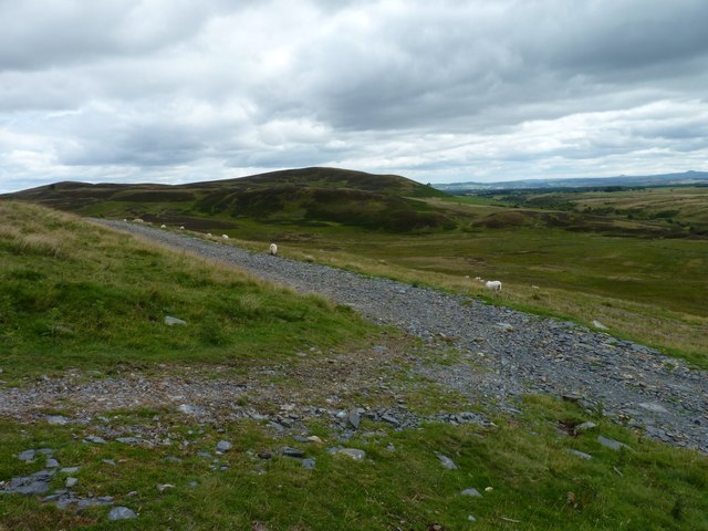
Creag na Criche boasts breathtaking panoramic views of the surrounding landscape, including the picturesque Strathearn Valley to the south and the impressive peaks of Ben Vorlich and Stuc a' Chroin to the northwest. Its strategic position on the edge of the Highlands makes it a popular destination for hikers and nature enthusiasts.

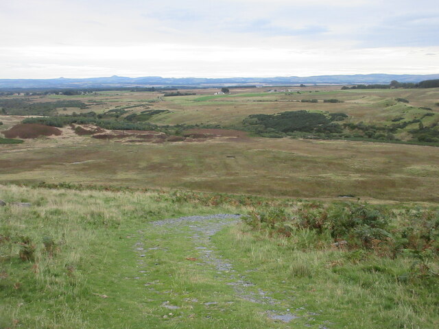
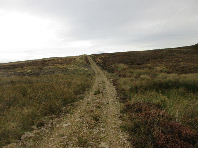
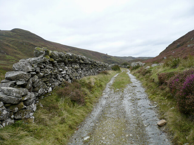
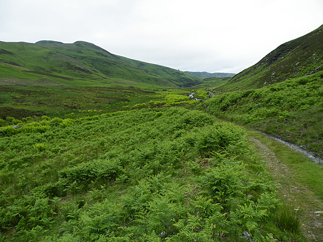
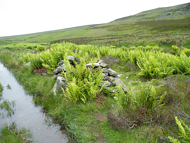
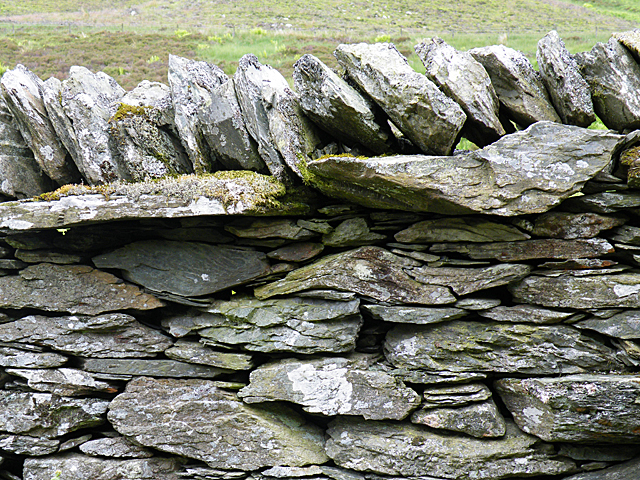
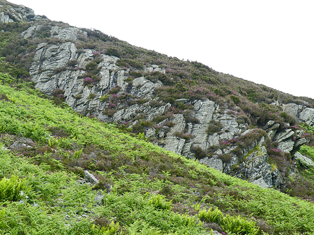
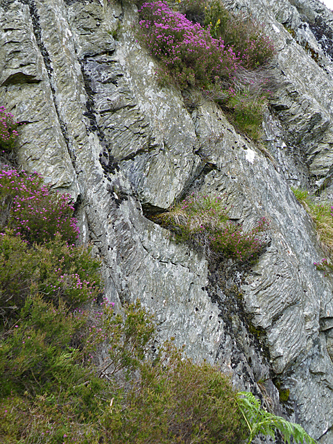
The hill is predominantly covered in heather and scattered with granite rocks, giving it a rugged and wild appearance. The terrain is relatively steep in some areas, making it a moderate challenge for walkers. However, the reward of reaching the summit is well worth the effort, as it offers stunning vistas of the surrounding countryside.

Creag na Criche is a haven for wildlife, with various species of birds, including golden eagles and peregrine falcons, frequently spotted in the area. The hill is also home to red deer, mountain hares, and ptarmigans, adding to its natural beauty and ecological significance.

With its majestic beauty and diverse ecosystem, Creag na Criche is a captivating destination for outdoor enthusiasts seeking to immerse themselves in the stunning landscapes of Perthshire.

If you have any feedback on the listing, please let us know in the comments section below.

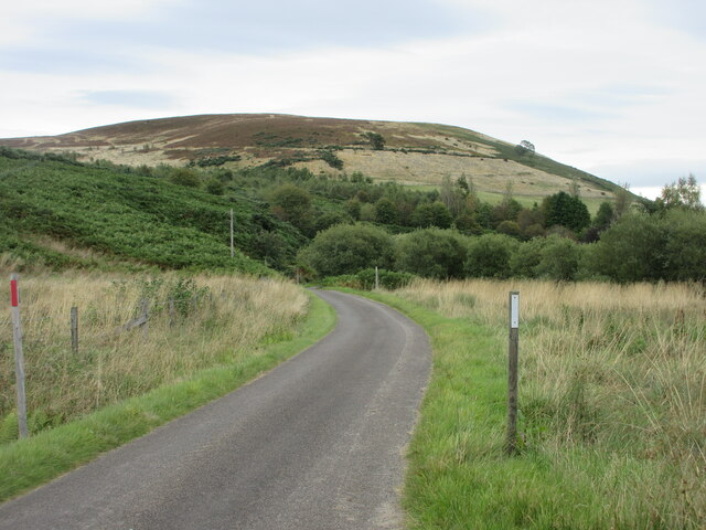
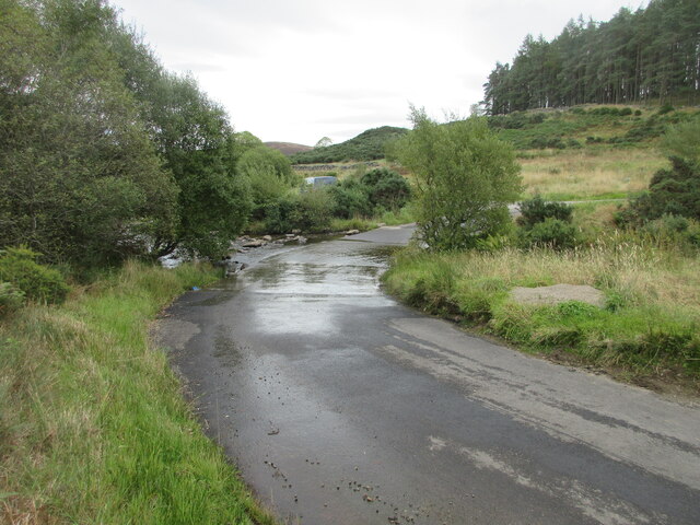
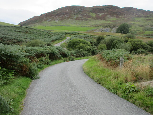
Creag na Criche Images

Images are sourced within 2km of 56.496921/-3.6485958 or Grid Reference NN9835. Thanks to Geograph Open Source API. All images are credited.

Moorland near Little Glenshee Moorland east of Little Glenshee, viewed from the hillside track to the north-west, with the paps of the Lomonds visible on the horizon to the left.
Moorland near Little Glenshee
Moorland east of Little Glenshee, viewed from the hillside track to the north-west, with the paps of the Lomonds visible on the horizon to the left.
Crags of Creag na Criche Eastern crags on Creag na Criche viewed from the north-east.
Crags of Creag na Criche
Eastern crags on Creag na Criche viewed from the north-east.
Moorland track Track heading uphill through the heather moorland north of Little Glenshee.
Moorland track
Track heading uphill through the heather moorland north of Little Glenshee.
Heathery hillside Looking south-east down the heather hillside south of The D.
Heathery hillside
Looking south-east down the heather hillside south of The D.
Road from Little Glenshee Minor road heading eastwards from Little Glenshee, with Formal Hill in the background.
Road from Little Glenshee
Minor road heading eastwards from Little Glenshee, with Formal Hill in the background.
Little Glenshee Ford The ford at Little Glenshee viewed from the west.
Little Glenshee Ford
The ford at Little Glenshee viewed from the west.
Road approaching Little Glenshee The road on the downhill approach to the ford at Little Glenshee.
Road approaching Little Glenshee
The road on the downhill approach to the ford at Little Glenshee.
Track in Little Glenshee A track between Little Glenshee and Strathbraan.
Track in Little Glenshee
A track between Little Glenshee and Strathbraan.
Little Glenshee The track up the glen from Little Glenshee Farm is flanked by luxuriant green young bracken, and the paler green of ferns. Findowie Hill is on the left.
Little Glenshee
The track up the glen from Little Glenshee Farm is flanked by luxuriant green young bracken, and the paler green of ferns. Findowie Hill is on the left.
A Curious Structure What appears to be a cairn is actually a circle of stones with ferns growing inside as well and next to it. The linear puddle is the deeply rutted track, full of water after recent wet weather. Near top right is part of the spoil heap of the largest of the old slate quarries on the south-west side of the glen.
A Curious Structure
What appears to be a cairn is actually a circle of stones with ferns growing inside as well and next to it. The linear puddle is the deeply rutted track, full of water after recent wet weather. Near top right is part of the spoil heap of the largest of the old slate quarries on the south-west side of the glen.
Dry Stane Dyke The dyker has been very clever in his use of pieces of the local rock, which is folded to various extents in this area.
Dry Stane Dyke
The dyker has been very clever in his use of pieces of the local rock, which is folded to various extents in this area.
Folded Rocks This outcrop was what we had come to see. It contains a series of folds, clearly visible from a short distance away. This is part of the re-folded downbend of the Tay Nappe, which marks the geological boundary between the Highlands and the Lowlands. <a href="https://www.geograph.org.uk/photo/2487344">NN9734 : A Fold</a> and <a href="https://www.geograph.org.uk/photo/2487360">NN9734 : Another Fold</a> are closer views of two of the folds.
Folded Rocks
This outcrop was what we had come to see. It contains a series of folds, clearly visible from a short distance away. This is part of the re-folded downbend of the Tay Nappe, which marks the geological boundary between the Highlands and the Lowlands. NN9734 : A Fold and NN9734 : Another Fold are closer views of two of the folds.
A Fold This is part of the outcrop in <a href="https://www.geograph.org.uk/photo/2487329">NN9734 : Folded Rocks</a>, near the lower, right-hand end. It shows a superb example of spaced cleavage, which is the linear fabric across the fold. This has developed in the rock during metamorphosis under heat and pressure, which has caused the minerals in the rock to realign themselves roughly at right angles to the principal stress. The fold is emphasised by the narrow band of darker material. <a href="https://www.geograph.org.uk/photo/2487350">NN9734 : In the Hinge of a Fold</a> shows the fine detail in the hinge of the fold, where the small ferns are growing in the dark band.
A Fold
This is part of the outcrop in NN9734 : Folded Rocks, near the lower, right-hand end. It shows a superb example of spaced cleavage, which is the linear fabric across the fold. This has developed in the rock during metamorphosis under heat and pressure, which has caused the minerals in the rock to realign themselves roughly at right angles to the principal stress. The fold is emphasised by the narrow band of darker material. NN9734 : In the Hinge of a Fold shows the fine detail in the hinge of the fold, where the small ferns are growing in the dark band.
In the Hinge of a Fold This is the hinge of the fold in <a href="https://www.geograph.org.uk/photo/2487344">NN9734 : A Fold</a>. The minerals in the hinge have separated under pressure into more and less resistant layers, which have themselves been folded to produce the crinkled effect. This has then been differentially eroded after exposure so that some of the bands of minerals stand out proud of the rest. Pound coin for scale.
In the Hinge of a Fold
This is the hinge of the fold in NN9734 : A Fold. The minerals in the hinge have separated under pressure into more and less resistant layers, which have themselves been folded to produce the crinkled effect. This has then been differentially eroded after exposure so that some of the bands of minerals stand out proud of the rest. Pound coin for scale.
Another Fold This is another of the folds in <a href="https://www.geograph.org.uk/photo/2487329">NN9734 : Folded Rocks</a>. The subvertical lines are the bedding surfaces of the original sedimentary rocks which were metamorphosed to form the outcrop; they would originally have been horizontal. In fact close examination of the detailed structure, too fine to see in a photograph, shows that what were the top surfaces of the original beds are on the left. In other words, these rocks have been tilted beyond the vertical and are now inverted.
Another Fold
This is another of the folds in NN9734 : Folded Rocks. The subvertical lines are the bedding surfaces of the original sedimentary rocks which were metamorphosed to form the outcrop; they would originally have been horizontal. In fact close examination of the detailed structure, too fine to see in a photograph, shows that what were the top surfaces of the original beds are on the left. In other words, these rocks have been tilted beyond the vertical and are now inverted.
Shochie Burn bridge Walkers making use of the footbridge near the Little Glenshee car park.
Shochie Burn bridge
Walkers making use of the footbridge near the Little Glenshee car park.
Recent fence and gate Too low to be deer fencing, these new boundaries are presumably to keep pheasants under control. And there is a nice stile provided for walkers.
Recent fence and gate
Too low to be deer fencing, these new boundaries are presumably to keep pheasants under control. And there is a nice stile provided for walkers.
Slatey track Surfaced in slate stones from the nearby quarries, which make it awkward to walk on, this track leads to Loch Tullybelton.
Slatey track
Surfaced in slate stones from the nearby quarries, which make it awkward to walk on, this track leads to Loch Tullybelton.
Show me another place!

Creag na Criche is located at Grid Ref: NN9835 (Lat: 56.496921, Lng: -3.6485958)

Unitary Authority: Perth and Kinross

Police Authority: Tayside

What 3 Words

///reinvest.lots.usage. Near Bankfoot, Perth & Kinross

Related Wikis

Tullybelton

Tullybelton is a hamlet located in the Scottish county of Perth and Kinross about 8 miles (13 km) north-northeast of Perth. Ian Fraser, Baron Fraser of...

Glenalmond College

Glenalmond College is a co-educational independent boarding school in Perth and Kinross, Scotland, for children aged between 12 and 18 years. It is situated...

Harrietfield

Harrietfield is a village near Glenalmond in Perth and Kinross. It is about 9 miles (14 km) north-west of Perth. It has been suggested that the village...

Falls of the Braan

Falls of the Braan is a waterfall of Scotland located in the Hermitage at the National Trust for Scotland-protected site in Dunkeld, Perth and Kinross...

Nearby Amenities

Located within 500m of 56.496921,-3.6485958
Creag na Criche
Ele: 455
Natural: peak
Lat/Long: 56.4970465/-3.649011
The data included in this document is from www.openstreetmap.org. The data is made available under ODbL.

Have you been to Creag na Criche?

Leave your review of Creag na Criche below (or comments, questions and feedback).