Pen Coed

Hill, Mountain in Montgomeryshire

Wales

Pen Coed

Glyndwr's Way at Dolwen
Glyndwr's Way at Dolwen Credit: Dave Kelly

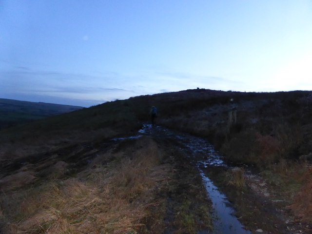
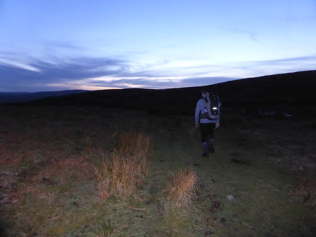
Pen Coed is a prominent hill located in Montgomeryshire, Wales. It is part of the scenic landscape of the county, offering breathtaking views and a tranquil atmosphere. Standing at an elevation of approximately 500 meters, Pen Coed is considered one of the highest points in the region.

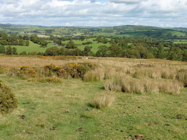
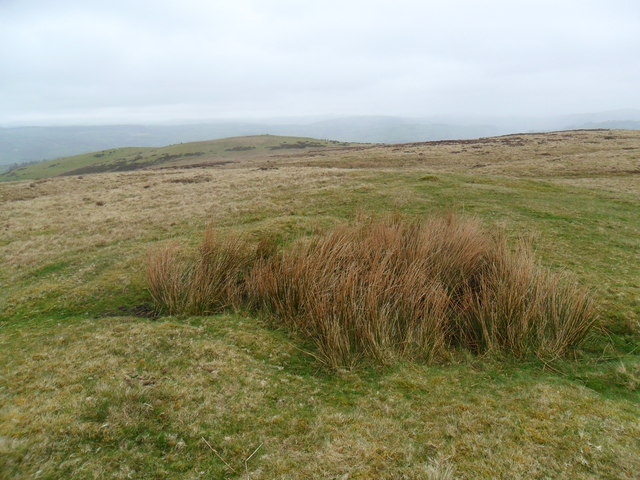
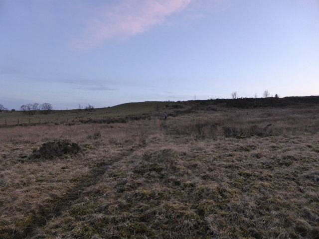
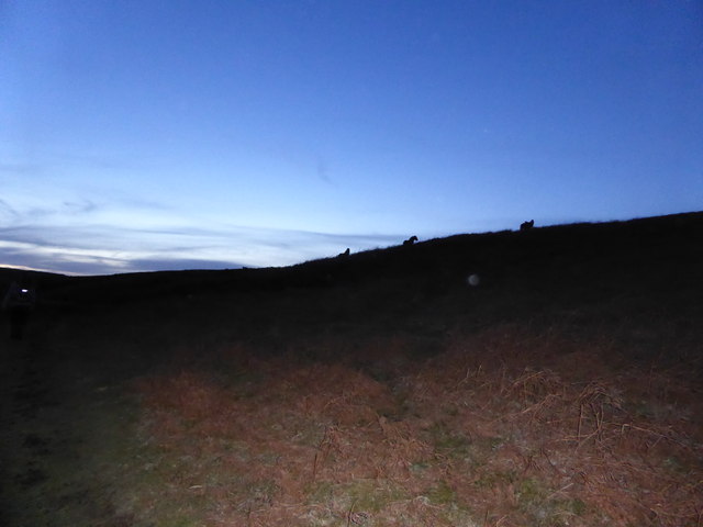
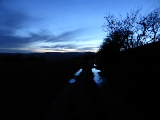
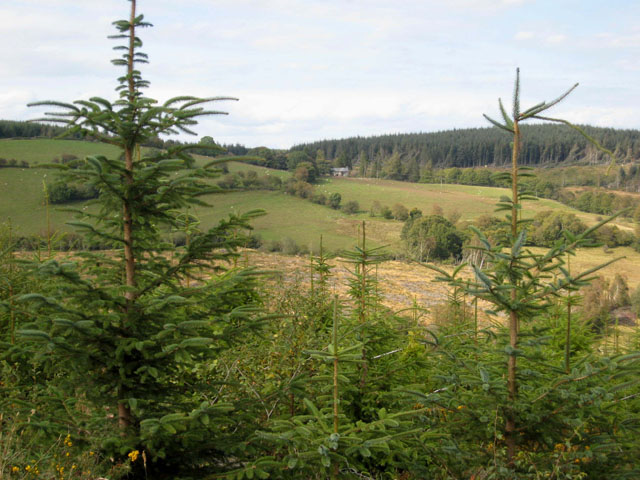
The hill is characterized by its gentle slopes, covered with a mixture of grasses and heather. Its summit provides visitors with a panoramic vista of the surrounding countryside, including the picturesque valleys, rolling hills, and distant mountains. On clear days, it is possible to see as far as Snowdonia National Park.

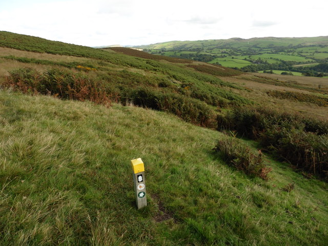
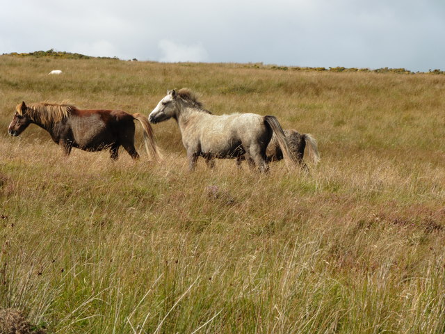
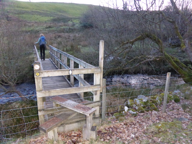
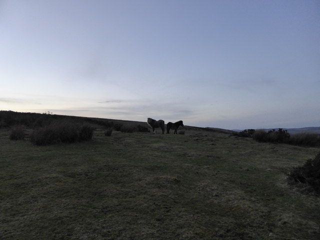
The area around Pen Coed is an ideal destination for nature enthusiasts and hikers. Numerous walking trails crisscross the hill, allowing visitors to explore its diverse flora and fauna. The hill is home to a variety of plant species, such as bilberry, heath bedstraw, and purple moor grass. It also provides a habitat for a range of bird species, including skylarks, stonechats, and meadow pipits.

At the foot of Pen Coed, there is a small parking area where visitors can leave their vehicles before embarking on their ascent. From here, a well-marked path leads up the hill, making it accessible to people of all fitness levels. The climb typically takes around an hour, depending on one's pace.

Overall, Pen Coed offers a serene and picturesque environment for those seeking solace in nature. With its stunning views and abundant wildlife, it is a must-visit destination for anyone exploring Montgomeryshire.

If you have any feedback on the listing, please let us know in the comments section below.
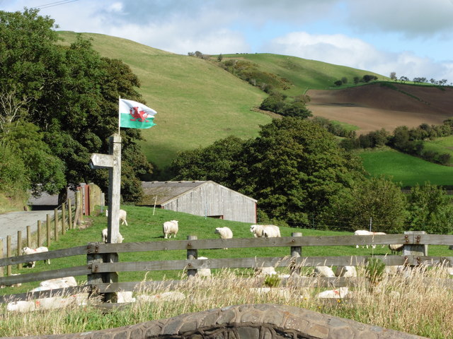
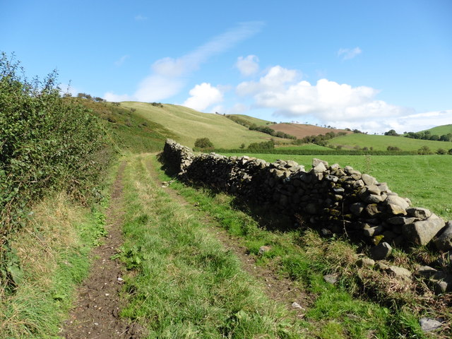
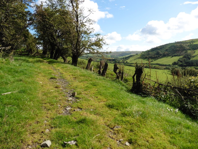
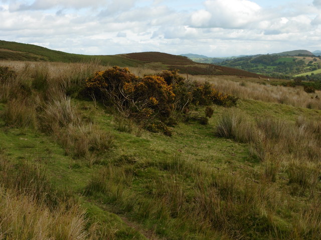
Pen Coed Images

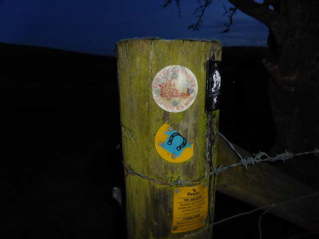
Images are sourced within 2km of 52.670112/-3.5014497 or Grid Reference SH9809. Thanks to Geograph Open Source API. All images are credited.

Glyndwr's Way at Dolwen
Glyndwr's Way near Dolwen
Glyndwr's Way near Pen Coed
Ponies grazing on Pen Coed
Glyndwr's Way near Pen Coed
Derelict House near Foel If you were passing on anything other than your own two feet you would likely miss this derelict in the bushes along the back road between Foel and Llangadfan.
Derelict House near Foel
If you were passing on anything other than your own two feet you would likely miss this derelict in the bushes along the back road between Foel and Llangadfan.
Summit of Pen Coed This nondescript hill just behind Llangadfan has some wonderful access land and is populated by wild horses some of which can just be seen in the full-res picture.  The hilltop itself is vague and I chose this tuft of marsh grass as being the highest.  The highpoint in the mid distance is the cairn antiquity, as geographed already by the prolific Richard Law.
Enjoy these hills while you can - whilst up there we spotted no fewer than 4 wind anenometers. And we know what follows them!
Summit of Pen Coed
This nondescript hill just behind Llangadfan has some wonderful access land and is populated by wild horses some of which can just be seen in the full-res picture. The hilltop itself is vague and I chose this tuft of marsh grass as being the highest. The highpoint in the mid distance is the cairn antiquity, as geographed already by the prolific Richard Law. Enjoy these hills while you can - whilst up there we spotted no fewer than 4 wind anenometers. And we know what follows them!
Footbridge on Glyndwr's Way Carrying the route across a small but lively stream. On the far bank is a dead pony unfortunately.
Footbridge on Glyndwr's Way
Carrying the route across a small but lively stream. On the far bank is a dead pony unfortunately.
Dead pony beside the stream Was she a victim of the recent floods or bad weather or injury or age? Sad sight. But also a welcome source of food for nature red in tooth and claw...
Dead pony beside the stream
Was she a victim of the recent floods or bad weather or injury or age? Sad sight. But also a welcome source of food for nature red in tooth and claw...
On Glyndwr's Way on a spring evening The sky changes as the light fades and we prepare to finish our day on GW under cover of darkness. Head torches at the ready.
On Glyndwr's Way on a spring evening
The sky changes as the light fades and we prepare to finish our day on GW under cover of darkness. Head torches at the ready.
Ponies on the hillside beside Glyndwr's Way These two took up defensive postures as we walked past, giving themselves 360 degree coverage and options for flight as they were isolated from a larger herd nearby, at dusk, a classic time for hunters.
Ponies on the hillside beside Glyndwr's Way
These two took up defensive postures as we walked past, giving themselves 360 degree coverage and options for flight as they were isolated from a larger herd nearby, at dusk, a classic time for hunters.
On Glyndwr's Way on Pen Coed hill at dusk Walking at dawn or dusk is just perfect.
On Glyndwr's Way on Pen Coed hill at dusk
Walking at dawn or dusk is just perfect.
On Glyndwr's Way on Pen Coed hill at dusk As the landscape darkens and disappears the skies become lighter and the clouds more ornate..
On Glyndwr's Way on Pen Coed hill at dusk
As the landscape darkens and disappears the skies become lighter and the clouds more ornate..
Ponies on Pen Coed Hill above Glyndwr's Way at dusk These ponies check us out as we tramp along on our final leg of the day.
Ponies on Pen Coed Hill above Glyndwr's Way at dusk
These ponies check us out as we tramp along on our final leg of the day.
On Glyndwr's Way below Pen Coed hill after dark A wonderful walk.
On Glyndwr's Way below Pen Coed hill after dark
A wonderful walk.
Glyndwr's Way waymarker on a gate post after dark Always a familiar and welcoming sight..
Glyndwr's Way waymarker on a gate post after dark
Always a familiar and welcoming sight..
Show me another place!

Pen Coed is located at Grid Ref: SH9809 (Lat: 52.670112, Lng: -3.5014497)

Unitary Authority: Powys

Police Authority: Dyfed Powys

What 3 Words

///trouser.tolerable.superbly. Near Llangadfan, Powys

Nearby Locations

Pen Coed

Related Wikis

Llangadfan

Llangadfan is a small village in Powys, Wales, based in the community of Banwy. The village lies on the A458 between Foel and Llanerfyl, 12 kilometres...

Montgomeryshire (UK Parliament constituency)

Montgomeryshire (Welsh: Sir Drefaldwyn) is a constituency in Wales represented in the House of Commons of the UK Parliament. Created in 1542, it elects...

District of Montgomeryshire

The District of Montgomeryshire or Montgomery (Welsh: Maldwyn) was one of three local government districts of the county of Powys, Wales, from 1974 until...

Dyfnant Forest

Dyfnant Forest is a remote forest in northeastern-central Powys, Wales. == Location == Dyfnant Forest lies to the west of the B4395 road, a road which...

Nearby Amenities

Located within 500m of 52.670112,-3.5014497
Pen Coed
Alt Name: Pen-Y-Coed
Ele: 360
Natural: peak
Source: npe
Lat/Long: 52.6705764/-3.4976073
The data included in this document is from www.openstreetmap.org. The data is made available under ODbL.

Have you been to Pen Coed?

Leave your review of Pen Coed below (or comments, questions and feedback).