Bell's Wood

Wood, Forest in Perthshire

Scotland

Bell's Wood

Track to Loch Broom crosses small burn Here the track goes onto the heathery moor.
Track to Loch Broom crosses small burn Credit: Russel Wills

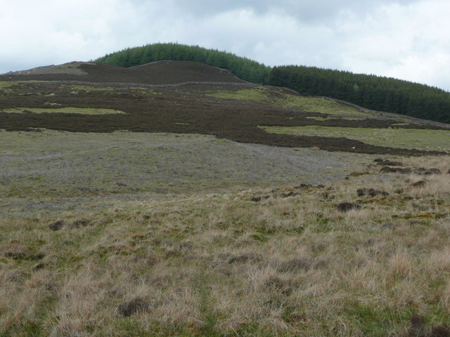
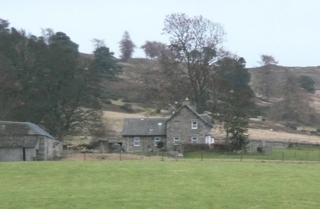
Bell's Wood is a picturesque woodland located in Perthshire, Scotland. Covering an area of approximately 50 acres, this enchanting forest is known for its natural beauty and tranquil atmosphere. The woodland is situated near the village of Dunkeld, just a short distance from the banks of the River Tay.

Bell's Wood is predominantly made up of native Scottish tree species, including oak, birch, and pine, which create a diverse and vibrant landscape. The forest floor is carpeted with an array of wildflowers, ferns, and mosses, adding to the area's natural charm.

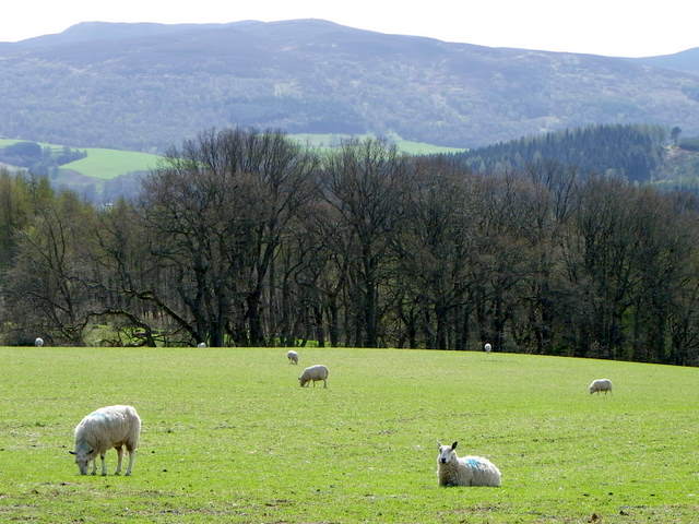
The woodland is home to a variety of wildlife, making it a popular spot for nature enthusiasts and birdwatchers. Visitors may catch a glimpse of red squirrels, roe deer, and a wide range of bird species, including woodpeckers and owls.

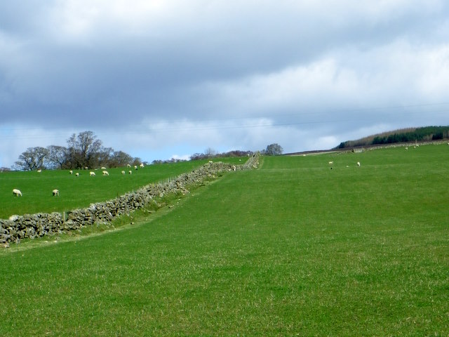
Several well-maintained walking trails wind their way through Bell's Wood, providing visitors with the opportunity to explore the forest's hidden treasures. These paths vary in difficulty, catering to both casual strollers and more experienced hikers. Along the way, walkers can enjoy breathtaking views of the surrounding countryside and may even stumble upon a hidden waterfall or two.

Bell's Wood is a peaceful haven, offering visitors a chance to escape the hustle and bustle of everyday life and connect with nature. Whether you're seeking a leisurely stroll, a birdwatching adventure, or simply a place to relax and unwind, this enchanting woodland is sure to captivate and inspire.

If you have any feedback on the listing, please let us know in the comments section below.

Bell's Wood Images

Images are sourced within 2km of 56.671468/-3.6500443 or Grid Reference NN9854. Thanks to Geograph Open Source API. All images are credited.

Track to Loch Broom crosses small burn Here the track goes onto the heathery moor.
Track to Loch Broom crosses small burn
Here the track goes onto the heathery moor.
Tullimet Wood from Loch Broom track The dry stone walls define the wood edge from the patch burned heathery hill.
Tullimet Wood from Loch Broom track
The dry stone walls define the wood edge from the patch burned heathery hill.
Track to Loch Broom The track passes through a gate in a fine dry stone wall.
Track to Loch Broom
The track passes through a gate in a fine dry stone wall.
Drummin In the trees below Creagan Ruathair, with open views over the Tay valley.
Drummin
In the trees below Creagan Ruathair, with open views over the Tay valley.
Balgowan farm With pasture in the foreground and Ben Vrackie on the horizon.
Balgowan farm
With pasture in the foreground and Ben Vrackie on the horizon.
Protective wall Diverting floodwater around useful arable land on the downstream side. The changes in the river's channel seem to make this redundant now.
Protective wall
Diverting floodwater around useful arable land on the downstream side. The changes in the river's channel seem to make this redundant now.
Sheep near Dalcapon Sheep graze on a field that has been recently mown for either hay or silage.
Sheep near Dalcapon
Sheep graze on a field that has been recently mown for either hay or silage.
Lochbroom Burn, Milton of Pitgur The burn races rushes downhill towards the A9 and then on towards the River Tummel.
Lochbroom Burn, Milton of Pitgur
The burn races rushes downhill towards the A9 and then on towards the River Tummel.
Lochbroom Burn, Milton of Pitgur The burn races and rushes downhill towards the A9 and then on towards the River Tummel.  Looking upstream.
Lochbroom Burn, Milton of Pitgur
The burn races and rushes downhill towards the A9 and then on towards the River Tummel. Looking upstream.
Gate, Milton of Pitgur The gate leads into a very small copse which is beside the Lochbroom Burn.
Gate, Milton of Pitgur
The gate leads into a very small copse which is beside the Lochbroom Burn.
Drystone wall, Mains of Dalcapon Sheep graze contentedly in the lush fields that are both sides of the drystone wall.
Drystone wall, Mains of Dalcapon
Sheep graze contentedly in the lush fields that are both sides of the drystone wall.
Sheep near Blairchroisk Sheep grazing in the fields between the minor road and the A9.
Sheep near Blairchroisk
Sheep grazing in the fields between the minor road and the A9.
Disc-harrow near Ballinluig The disc-harrow is at the fields edge while sheep graze around it.
Disc-harrow near Ballinluig
The disc-harrow is at the fields edge while sheep graze around it.
Sheep near Ballinluig Sleep graze in the many small fields beside the Tay valley.
Sheep near Ballinluig
Sleep graze in the many small fields beside the Tay valley.
Forestry near Ballinluig An area of new planted woodland near The Half-way House.
Forestry near Ballinluig
An area of new planted woodland near The Half-way House.
Lone tree near Tulliemet A lone tree grows in an area of rough damp grassland.
Lone tree near Tulliemet
A lone tree grows in an area of rough damp grassland.
Lochbroom Burn Happily flowing down to join the River Tummel.
Lochbroom Burn
Happily flowing down to join the River Tummel.
Loch Broom Hydro Electric Scheme - intake The Lochbroom Burn approaches the weir.  Note the fish pass on the right of the weir.
Loch Broom Hydro Electric Scheme - intake
The Lochbroom Burn approaches the weir. Note the fish pass on the right of the weir.
Show me another place!

Bell's Wood is located at Grid Ref: NN9854 (Lat: 56.671468, Lng: -3.6500443)

Unitary Authority: Perth and Kinross

Police Authority: Tayside

What 3 Words

///zealous.sandals.equity. Near Pitlochry, Perth & Kinross

Nearby Locations

Bell's Wood

Related Wikis

Ballinluig

Ballinluig (Gaelic: Baile an Luig) is a village in Perth and Kinross, Scotland. It lies on the banks of the River Tummel in Logierait Parish, and is approximately...

Ballinluig railway station

Ballinluig railway station served the village of Ballinluig, Perth and Kinross, Scotland from 1863 to 1965 on the Inverness and Perth Junction Railway...

Logierait

Logierait (Scottish Gaelic: Lag an Ratha - 'Hollow of the [Earth-Walled] Fort/Enclosure') is a village and parish in Atholl, Scotland. It is situated...

River Tummel

The River Tummel (Scottish Gaelic: Uisge Theimheil) is a river in Perth and Kinross, Scotland. Water from the Tummel is used in the Tummel hydro-electric...

Loch Broom (Perth and Kinross)

Loch Broom is a freshwater trout loch, located in the hills 3 miles (5 kilometres) east of Pitlochry, within Perth and Kinross, Scotland. == References ==
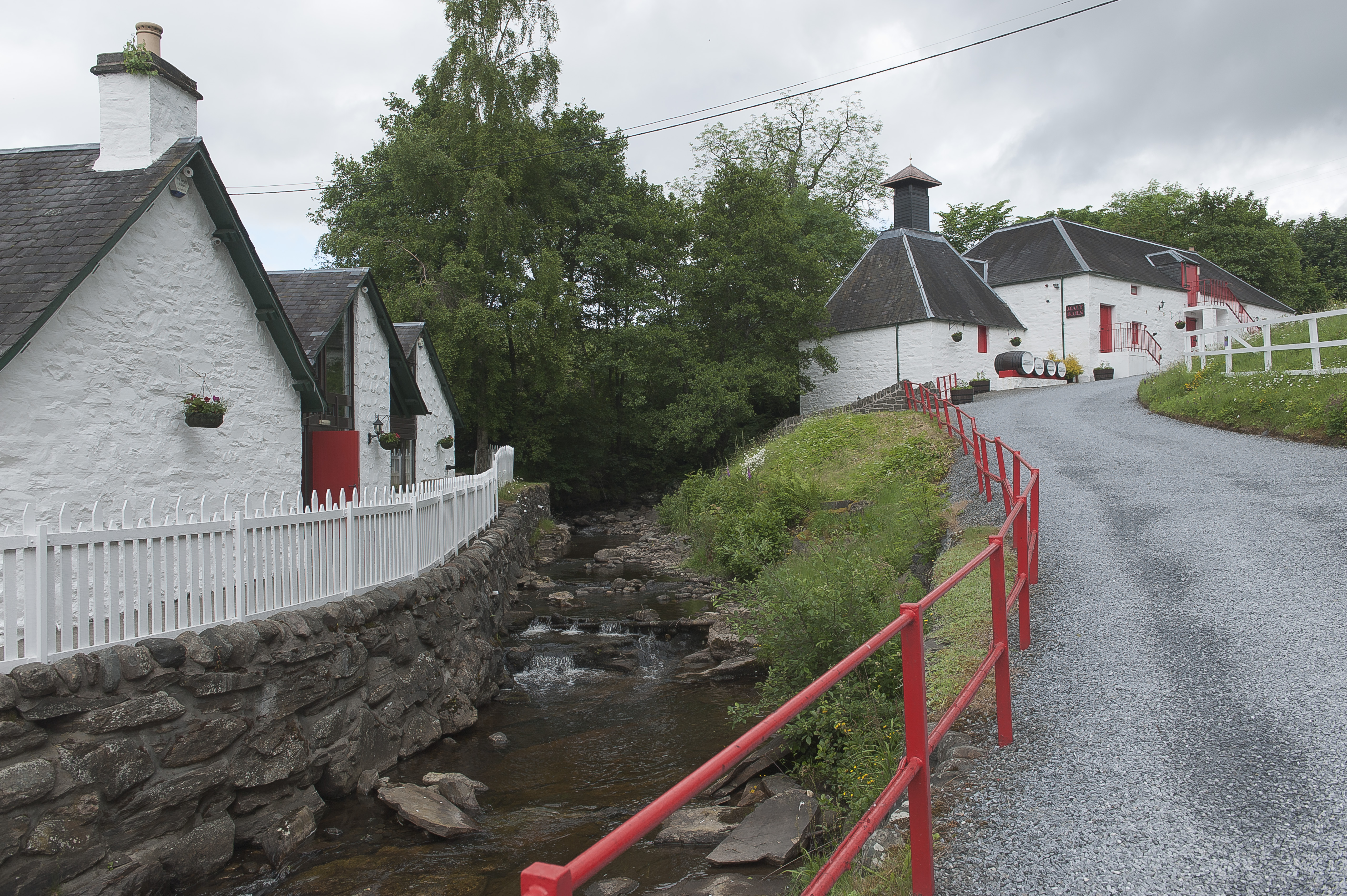
Edradour distillery

Edradour distillery (Scottish Gaelic: Eadar DhĂ  Dhobhar, "between two rivers") is a Highland single malt whisky distillery based in Pitlochry, Perthshire...

Balnaguard Halt railway station

Balnaguard Halt railway station served the hamlet of Balnaguard, Perth and Kinross, Scotland from 1935 to 1965 on the Inverness and Perth Junction Railway...

Ballechin Wood

Ballechin Wood is a large coniferous forest site, around 805 acres (326 ha) in area, located above Ballechin in Perth and Kinross, Scotland. It is located...

Nearby Amenities

Located within 500m of 56.671468,-3.6500443
Power: pole
Lat/Long: 56.66904/-3.6565874
Power: pole
Lat/Long: 56.6688172/-3.6540146
Power: pole
Lat/Long: 56.6688143/-3.6530092
Power: pole
Lat/Long: 56.6687994/-3.6520507
Power: pole
Lat/Long: 56.6687945/-3.6510021
Power: pole
Lat/Long: 56.6687796/-3.6497715
Power: pole
Lat/Long: 56.6687747/-3.6484995
Power: pole
Lat/Long: 56.6687519/-3.6472599
Power: pole
Lat/Long: 56.668739/-3.6461122
Power: pole
Lat/Long: 56.668738/-3.6450996
Power: pole
Lat/Long: 56.6683351/-3.6443159
The data included in this document is from www.openstreetmap.org. The data is made available under ODbL.

Have you been to Bell's Wood?

Leave your review of Bell's Wood below (or comments, questions and feedback).