Carterspiece

Settlement in Gloucestershire Forest of Dean

England

Carterspiece

Old chapel and recreation ground
Old chapel and recreation ground Credit: don cload

Carterspiece is a small village located in Gloucestershire, England. Situated on the western edge of the Cotswolds, it is known for its picturesque countryside and charming rural setting. The village is surrounded by rolling hills, lush green fields, and quaint stone cottages, making it an idyllic destination for nature enthusiasts and those seeking a peaceful retreat.

Despite its small size, Carterspiece offers a range of amenities to its residents and visitors. The village features a local pub, The Carters Arms, which is a popular gathering spot for locals and tourists alike. It provides a cozy atmosphere and serves traditional English cuisine and ales.

The village is also home to a small primary school, which serves the local community. Additionally, there is a village hall that hosts various events and gatherings throughout the year, including community meetings, social events, and occasional performances.

Carterspiece is well-connected to surrounding towns and cities. The nearby market town of Cheltenham is approximately 10 miles away, offering a wider range of amenities, including shopping centers, restaurants, and cultural attractions. The village is also conveniently located near the M5 motorway, providing easy access to other parts of the country.

Overall, Carterspiece is a charming village that offers a tranquil countryside setting, a sense of community, and convenient access to nearby amenities. It is a hidden gem for those seeking a slower pace of life and a close connection to nature.

If you have any feedback on the listing, please let us know in the comments section below.
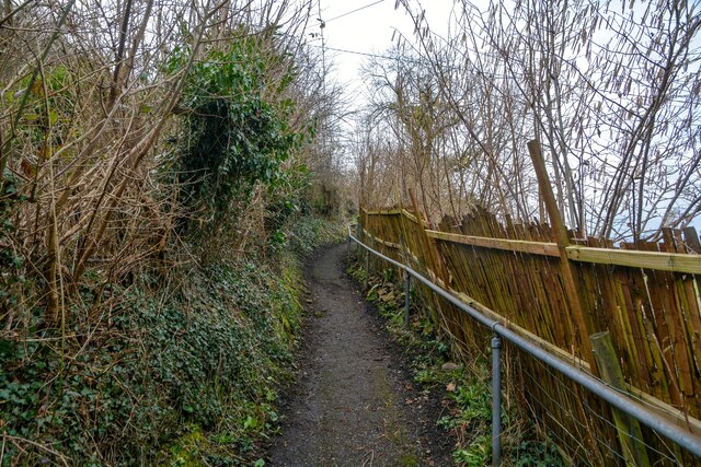
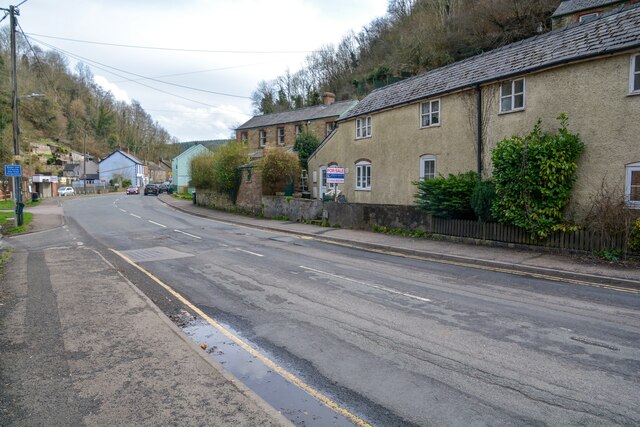
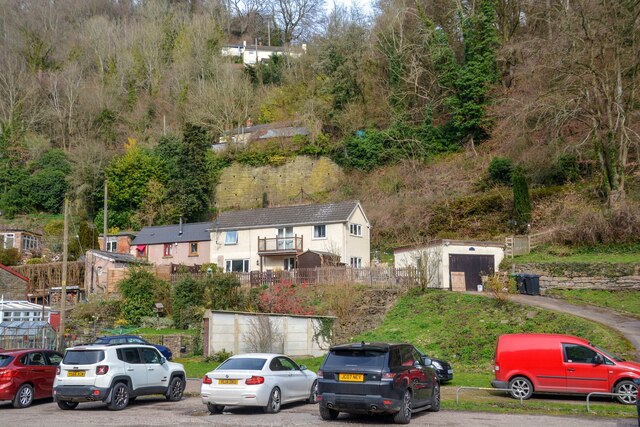
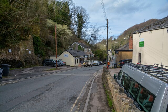
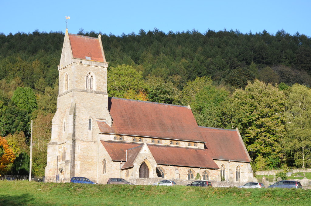
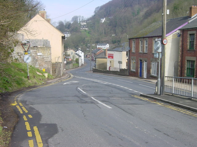
Carterspiece Images

Images are sourced within 2km of 51.825588/-2.590037 or Grid Reference SO5914. Thanks to Geograph Open Source API. All images are credited.

Old chapel and recreation ground
Old railway
Old railway
Sallowvallets track
Sallowvallets track
Sharp turn in the forest track
Old Boundary Marker Estate Boundary Marker east of a forest track and just north of the A4136 near Mirystock House. Lydbrook parish. inscribed Bourts Inclosure and 1842 this perhaps records the enclosure of part of the Forest of Dean.

Milestone Society National ID: GL_LYDBR01em
Old Boundary Marker
Estate Boundary Marker east of a forest track and just north of the A4136 near Mirystock House. Lydbrook parish. inscribed Bourts Inclosure and 1842 this perhaps records the enclosure of part of the Forest of Dean. Milestone Society National ID: GL_LYDBR01em
Lydbrook : Bell Hill Looking along a footpath up the hillside.
Lydbrook : Bell Hill
Looking along a footpath up the hillside.
Lydbrook : B4234 Looking along the road.
Lydbrook : B4234
Looking along the road.
Lydbook : Car Park A car park alongside the social club in Lower Lydbrook.
Lydbook : Car Park
A car park alongside the social club in Lower Lydbrook.
Lydbrook : B4234 Looking along the B4234.
Lydbrook : B4234
Looking along the B4234.
Lydbrook : The Lydbrook & District Community Social Club The social club in Lydbrook.
Lydbrook : The Lydbrook & District Community Social Club
The social club in Lydbrook.
Lydbrook : B4234 Looking along the B4234.
Lydbrook : B4234
Looking along the B4234.
Lybrook : Lydbrook Memorial Hall Looking towards the war memorial at Lydbrook.
Lybrook : Lydbrook Memorial Hall
Looking towards the war memorial at Lydbrook.
Lybrook : Lydbrook Memorial Hall Looking towards the war memorial at Lydbrook.
Lybrook : Lydbrook Memorial Hall
Looking towards the war memorial at Lydbrook.
Lydbrook : Health Clinic A health clinic in Lydbrook.
Lydbrook : Health Clinic
A health clinic in Lydbrook.
Lydbrook : Old Methodist Chapel A chapel now used as dwellings.
Lydbrook : Old Methodist Chapel
A chapel now used as dwellings.
Lydbrook : Holy Jesus Church The tower of the church is 80 feet in height, the saddle back roof being an unusual feature for the forest, but quite common elsewhere in Gloucestershire, such as St Margaret's, Bagendon.
Lydbrook : Holy Jesus Church
The tower of the church is 80 feet in height, the saddle back roof being an unusual feature for the forest, but quite common elsewhere in Gloucestershire, such as St Margaret's, Bagendon.
Lydbrook : Church Road Looking along Church Road heading to the junction with the B4234.
Lydbrook : Church Road
Looking along Church Road heading to the junction with the B4234.
Lydbrook : Holy Jesus Church The greater part of the church was built in 1850 and 1851. It is in the style of the 14th century Decorated Period. The architect was Henry Woodyer, a flamboyant character.
Lydbrook : Holy Jesus Church
The greater part of the church was built in 1850 and 1851. It is in the style of the 14th century Decorated Period. The architect was Henry Woodyer, a flamboyant character.
Show me another place!

Carterspiece is located at Grid Ref: SO5914 (Lat: 51.825588, Lng: -2.590037)

Administrative County: Gloucestershire

District: Forest of Dean

Police Authority: Gloucestershire

What 3 Words

///flamenco.ballooned.attitudes. Near Lydbrook, Gloucestershire

Related Wikis

Nearby Amenities

Located within 500m of 51.825588,-2.590037
Bus Stop
Hangerberry New Rd
Naptan AtcoCode: 1600GLF203
Naptan Bearing: SW
Naptan CommonName: Hangerberry New Rd
Naptan Indicator: Opp
Naptan NaptanCode: gloagdpa
Naptan Street: A4136
Naptan Verified: no
Source: naptan_import
Lat/Long: 51.8249808/-2.5836667
Bus Stop
Hangerberry New Rd
Naptan AtcoCode: 1600GLF204
Naptan Bearing: NE
Naptan CommonName: Hangerberry New Rd
Naptan NaptanCode: gloagdpd
Naptan Street: A4136
Naptan Verified: no
Source: naptan_import
Lat/Long: 51.8251705/-2.5834951
The data included in this document is from www.openstreetmap.org. The data is made available under ODbL.

Have you been to Carterspiece?

Leave your review of Carterspiece below (or comments, questions and feedback).