Carter's Hill
Settlement in Berkshire
England
Carter's Hill

Carter's Hill is a picturesque village nestled in the heart of Berkshire, England. With its idyllic countryside setting, this small community offers a tranquil escape from the bustling city life. The village is located on a gentle hill, surrounded by lush green meadows and rolling hills, providing breathtaking views of the surrounding landscape.
The village itself is known for its charming cottages, built with traditional English architecture. These quaint homes are adorned with beautiful gardens and vibrant flowers, adding to the village's appeal. The streets are lined with ancient oak trees, creating a serene and peaceful atmosphere.
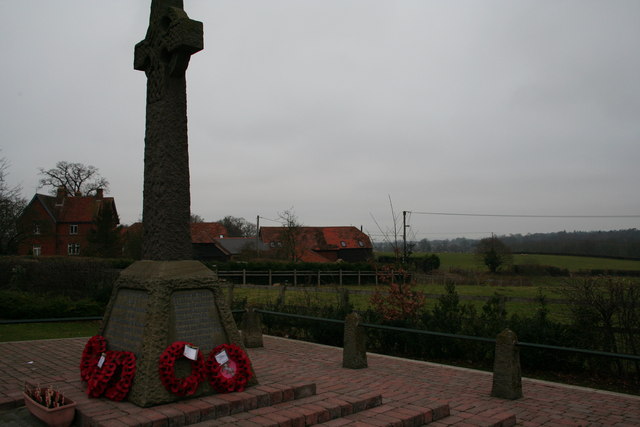
Carter's Hill is home to a close-knit community that takes pride in its heritage. The village has a rich history, dating back to medieval times, and remnants of its past can be seen in the preserved buildings and historic landmarks scattered throughout the area. St. Mary's Church, a stunning example of medieval architecture, stands as a testament to the village's long-standing presence.
Despite its small size, Carter's Hill offers a range of amenities for its residents. The village boasts a local pub, The Red Lion, which serves as a social hub for the community. Additionally, there are several boutique shops, a village hall, and a primary school, ensuring that residents have convenient access to essential services.
Surrounded by the natural beauty of the Berkshire countryside, Carter's Hill attracts outdoor enthusiasts and nature lovers. The area is perfect for leisurely walks, cycling, or simply enjoying a picnic while taking in the stunning views. The nearby Carter's Hill Woods provide ample opportunities for exploring woodland trails and observing local wildlife.
Overall, Carter's Hill is a charming and picturesque village that offers a tranquil and welcoming environment for residents and visitors alike.
If you have any feedback on the listing, please let us know in the comments section below.
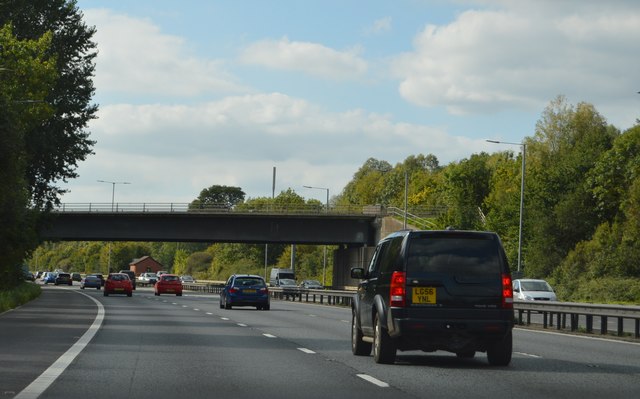
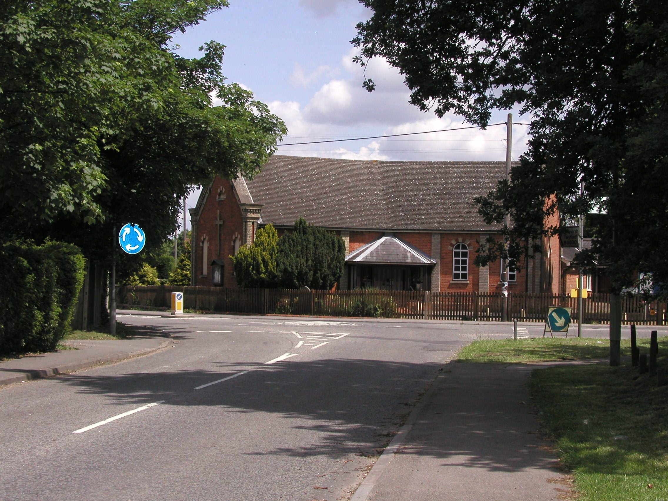
Carter's Hill Images
Images are sourced within 2km of 51.416368/-0.904186 or Grid Reference SU7669. Thanks to Geograph Open Source API. All images are credited.


Carter's Hill is located at Grid Ref: SU7669 (Lat: 51.416368, Lng: -0.904186)
Unitary Authority: Wokingham
Police Authority: Thames Valley
What 3 Words
///suspended.servants.corrects. Near Lower Earley, Berkshire
Nearby Locations
Related Wikis
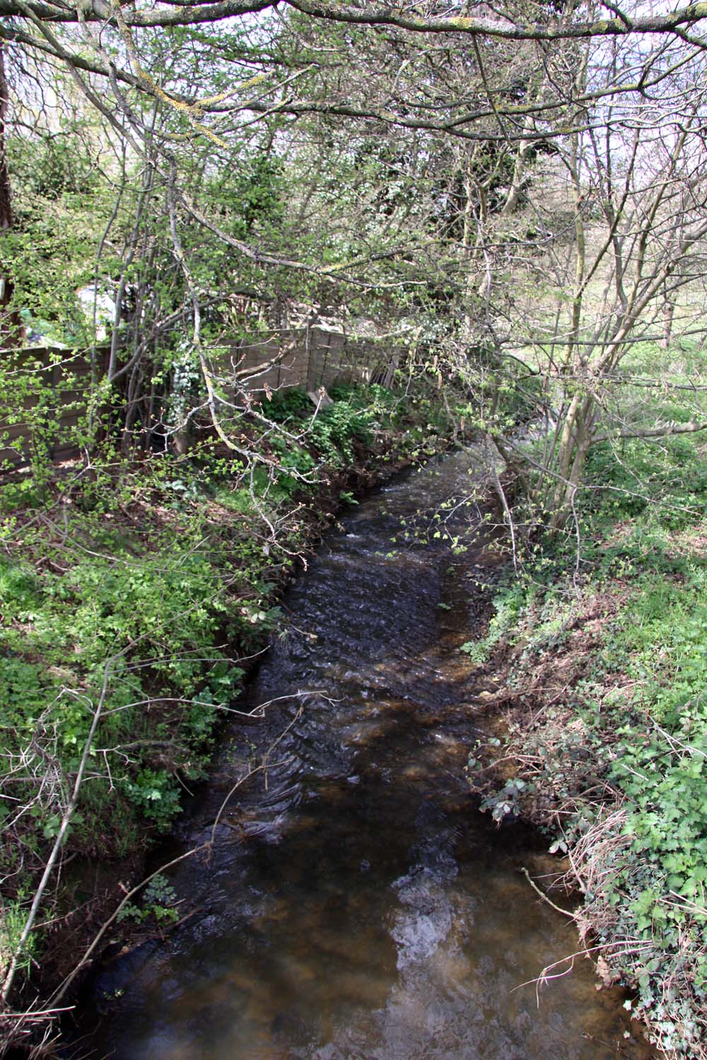
Barkham Brook
Barkham Brook is a small river in the English county of Berkshire. It has sources to the north and west of Finchampstead in the Wokingham Borough, flows...
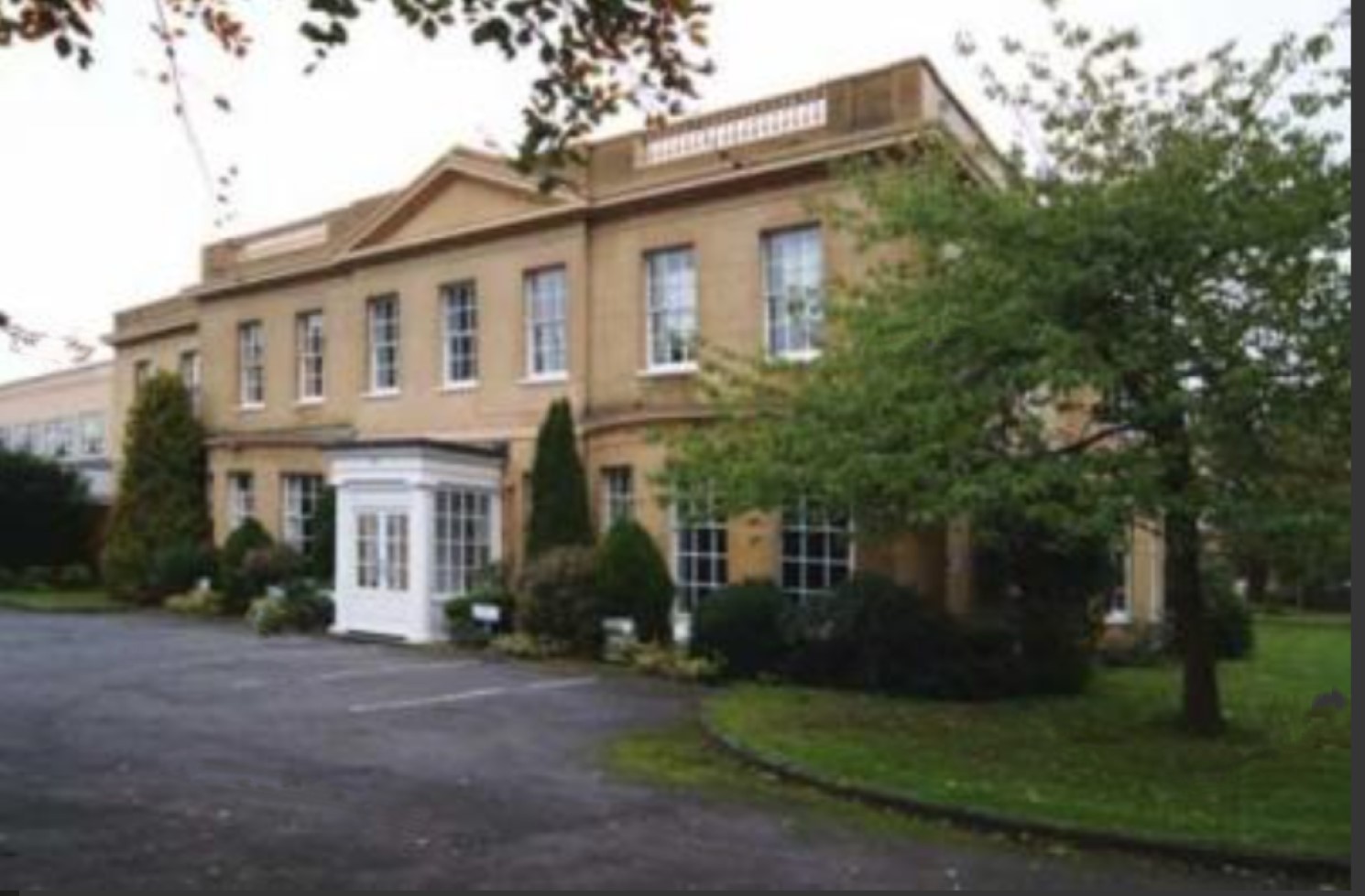
Sindlesham Court
Sindlesham Court, near Wokingham, is a building of historical significance and is Grade II listed (as Berkshire Masonic Centre) on the English Heritage...
Sindlesham
Sindlesham is an estate village in the borough of Wokingham in Berkshire, England. It is located around 4 miles (6.4 km) southeast of Reading and around...

Bearwood House
Bearwood or Bear Wood, Sindlesham, Berkshire, England is a Victorian country house built for John Walter, the owner of The Times. The architect was Robert...
Arborfield and Newland
Arborfield and Newland is a civil parish in the Wokingham district of Berkshire, England. It had a population of 2,228 according to the 2001 census, increasing...

Reddam House, Berkshire
Reddam House Berkshire is a co-educational, independent school in Wokingham, in the English county of Berkshire. Reddam House provides education for boys...
International Cocoa Quarantine Centre
The International Cocoa Quarantine Centre (ICQC), located in Arborfield, a suburb of Reading, Berkshire, United Kingdom, is an organization aiming to reduce...

Arborfield
Arborfield is a village and former civil parish, now in the parish of Arborfield and Newland, in the Borough of Wokingham, on the A327 road in Berkshire...
Nearby Amenities
Located within 500m of 51.416368,-0.904186Have you been to Carter's Hill?
Leave your review of Carter's Hill below (or comments, questions and feedback).