Carterton
Settlement in Oxfordshire West Oxfordshire
England
Carterton
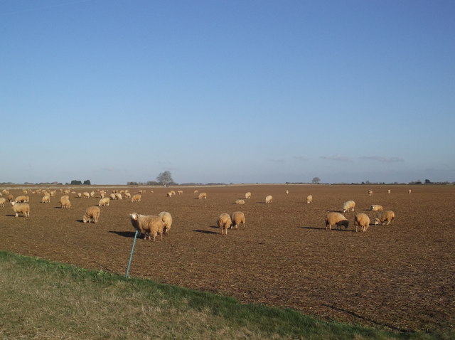
Carterton is a town located in the county of Oxfordshire, England. It is situated about 19 kilometers (12 miles) southwest of the city of Oxford and has a population of approximately 16,000 residents. The town is surrounded by picturesque countryside and is known for its close proximity to the Cotswolds, an area of outstanding natural beauty.
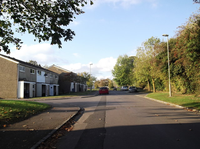
Originally developed as a residential area for personnel from the nearby Royal Air Force (RAF) Brize Norton, Carterton has evolved into a vibrant community with its own amenities and services. It offers a range of shops, supermarkets, restaurants, and pubs, catering to the needs of both residents and visitors.
The town also provides excellent transportation links, with regular bus services connecting it to neighboring towns and villages, as well as the larger cities of Oxford and Swindon. Additionally, the nearby A40 road allows for easy access to other parts of Oxfordshire and beyond.
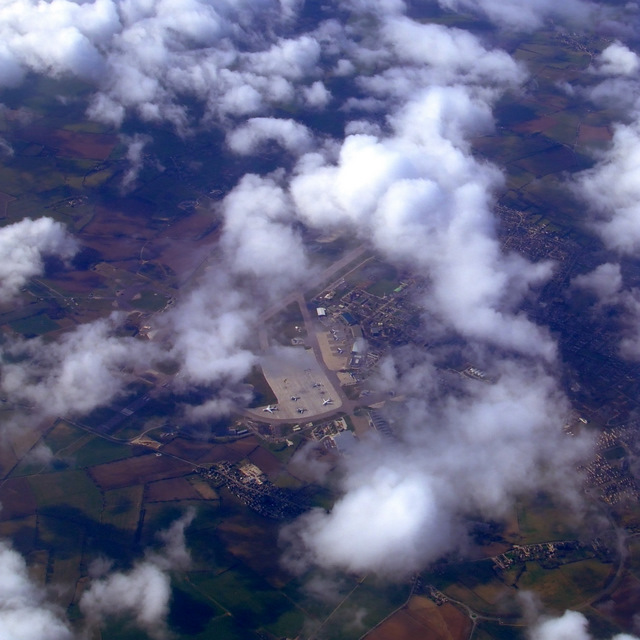
One of the notable landmarks in Carterton is the RAF Brize Norton, which is the largest station of the RAF and plays a crucial role in the defense of the United Kingdom. The base provides employment opportunities for many residents of the town.
Carterton is also known for its strong community spirit and a variety of recreational activities. It boasts several parks, including the popular Carterton Community Centre and Recreation Ground, which offers facilities for sports such as football, cricket, and tennis. The town also hosts regular events and festivals, providing entertainment for all ages.
In summary, Carterton is a thriving town in Oxfordshire that offers a mix of modern amenities, stunning countryside surroundings, and a strong sense of community.
If you have any feedback on the listing, please let us know in the comments section below.
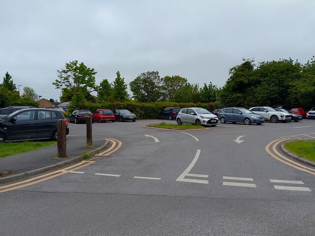
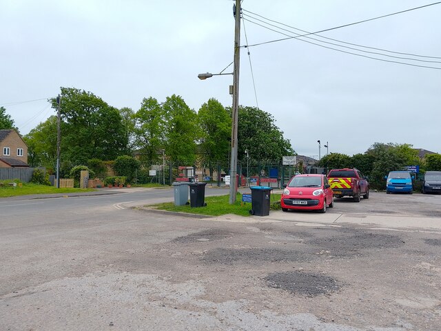
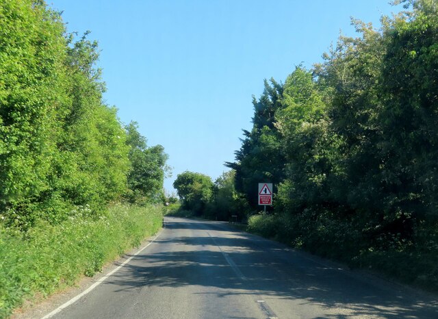
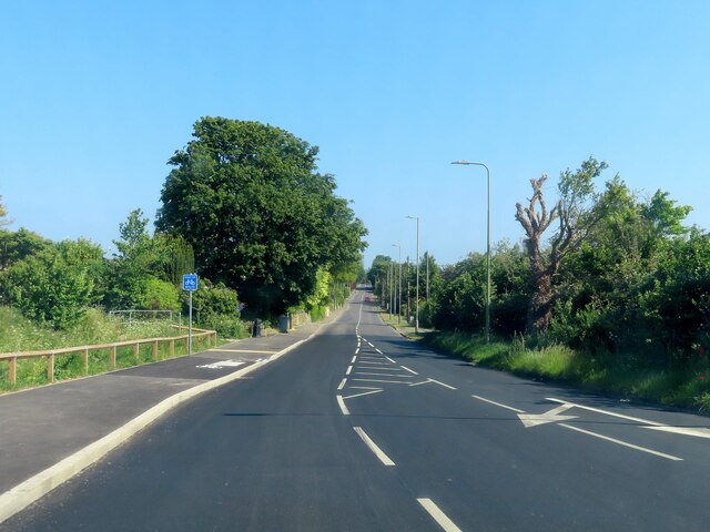
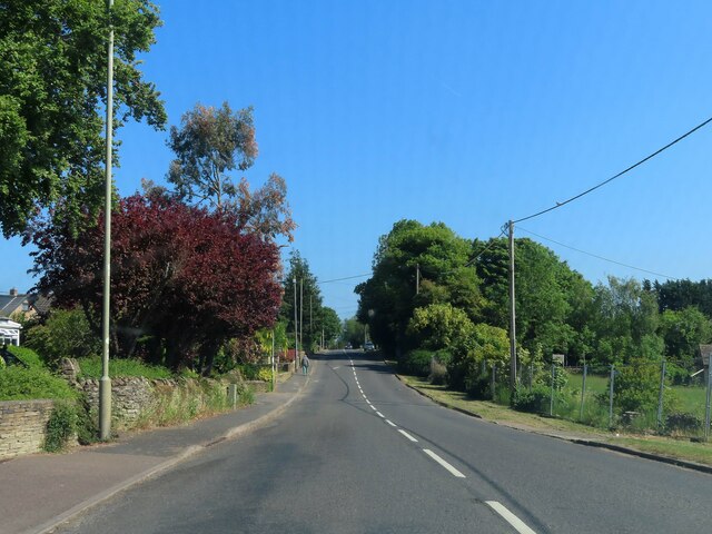
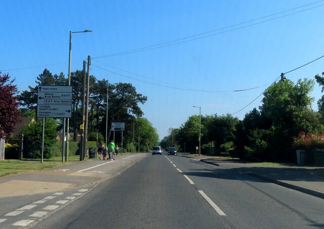
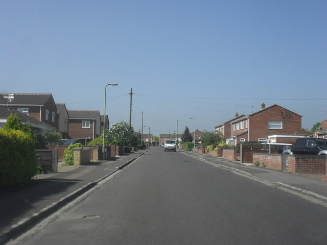
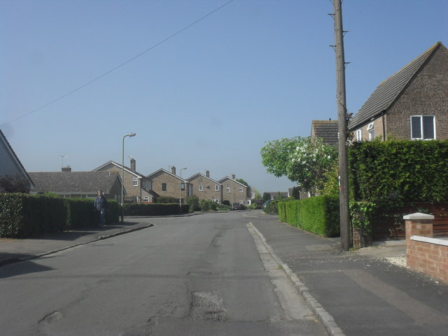
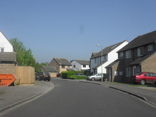
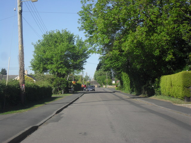
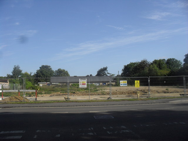
Carterton Images
Images are sourced within 2km of 51.759159/-1.594383 or Grid Reference SP2806. Thanks to Geograph Open Source API. All images are credited.


Carterton is located at Grid Ref: SP2806 (Lat: 51.759159, Lng: -1.594383)
Administrative County: Oxfordshire
District: West Oxfordshire
Police Authority: Thames Valley
What 3 Words
///backtrack.funky.latter. Near Carterton, Oxfordshire
Related Wikis
Carterton, Oxfordshire
Carterton is a town in West Oxfordshire district in the county of Oxfordshire, England and is 4 miles (6.4 km) south-west of Witney. The 2011 Census recorded...

Carterton Community College
Carterton Community College is a coeducational secondary school located in Carterton in the English county of Oxfordshire.It is a community school administered...
Royal Air Force Football Association
The Royal Air Force Football Association, also known as the RAF FA, is the governing body of football within the Royal Air Force. == RAF Challenge Cup... ==

RAF Brize Norton
Royal Air Force Brize Norton or RAF Brize Norton (IATA: BZZ, ICAO: EGVN) in Oxfordshire, about 75 mi (121 km) west north-west of London, is the largest...

Alvescot
Alvescot is a village and civil parish about 1+1⁄2 miles (2.4 km) south of Carterton, Oxfordshire, England. The 2011 Census recorded the parish's population...
Carterton F.C.
Carterton Football Club is a football club based in Carterton, Oxfordshire, England. They are currently members of the Oxfordshire Senior League Premier...

Carterton railway station (England)
Carterton railway station was a railway station just north of the village of Black Bourton on the Oxford, Witney and Fairford Railway between Oxford and...

Brize Norton
Brize Norton is a village and civil parish 1 mile (1.6 km) east of Carterton in West Oxfordshire. The 2011 Census recorded the parish population as 938...
Nearby Amenities
Located within 500m of 51.759159,-1.594383Have you been to Carterton?
Leave your review of Carterton below (or comments, questions and feedback).