Eastbachmeend Inclosure
Wood, Forest in Gloucestershire Forest of Dean
England
Eastbachmeend Inclosure
Eastbachmeend Inclosure is a picturesque woodland located in Gloucestershire, England. Covering an area of approximately 200 acres, it is part of the larger Forest of Dean, renowned for its rich biodiversity and stunning natural beauty.
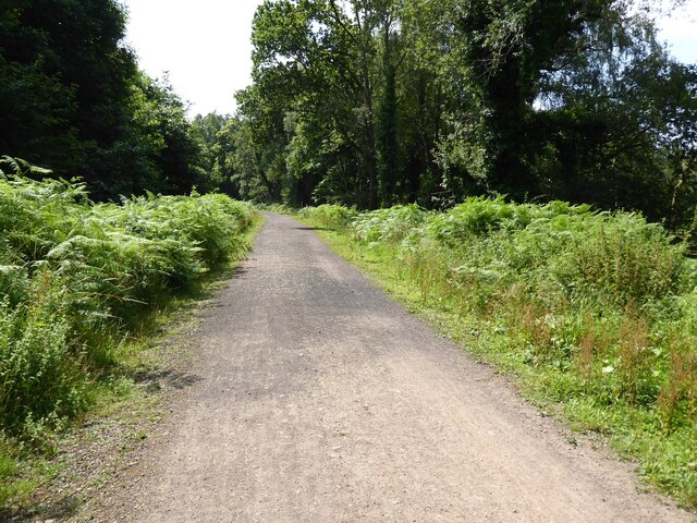
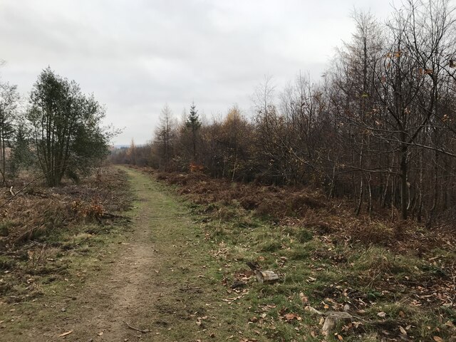
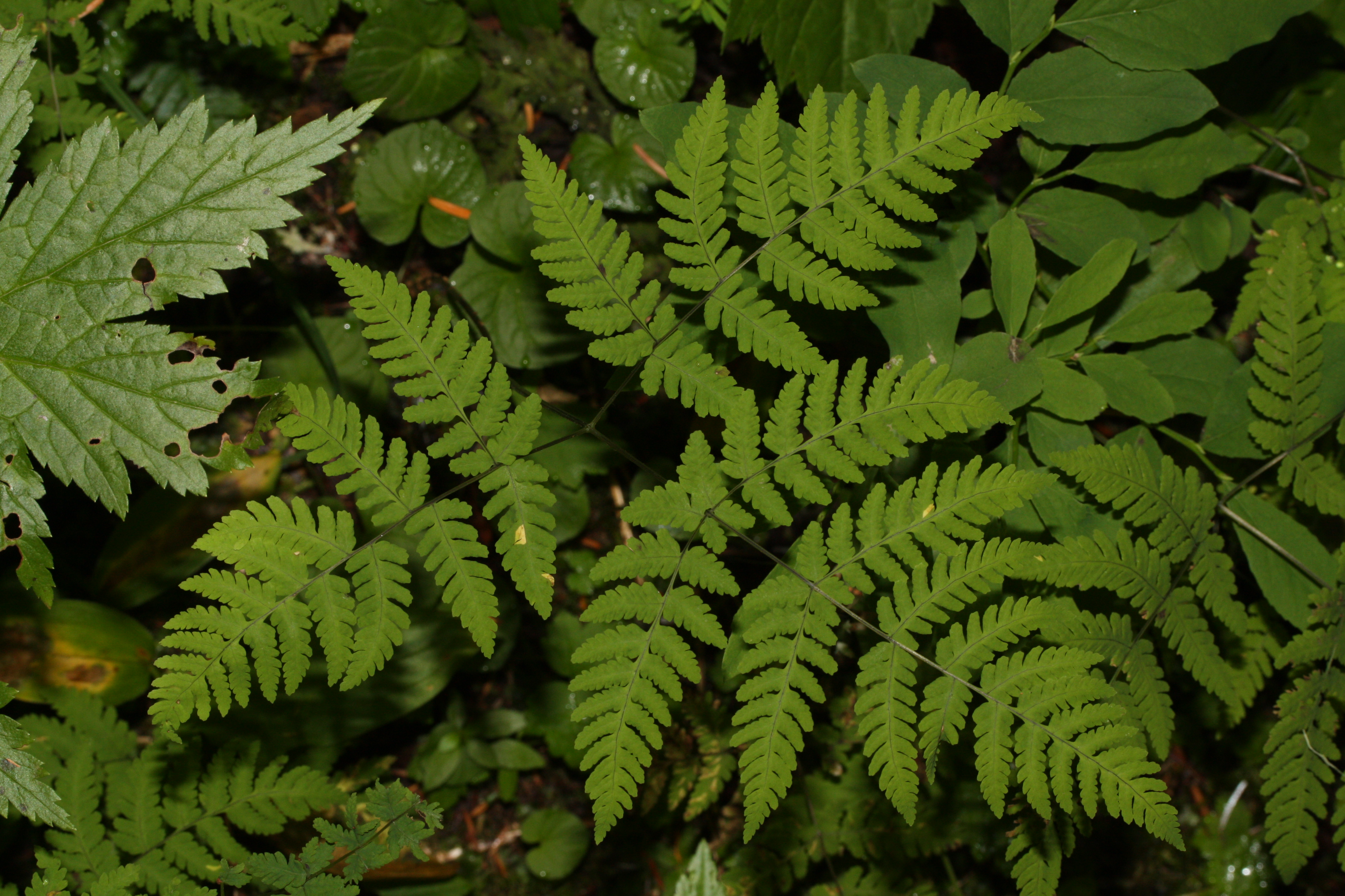
The woodland is predominantly composed of native broadleaf trees, including oak, beech, and birch, which create a dense canopy that provides shelter for a wide variety of flora and fauna. The forest floor is adorned with a carpet of bluebells and wildflowers during the spring, offering a vibrant burst of color.
Eastbachmeend Inclosure is home to a diverse range of wildlife, including deer, badgers, foxes, and an array of bird species, making it a popular destination for nature lovers and birdwatchers. The tranquil environment also attracts many visitors seeking a peaceful retreat from the bustle of everyday life.
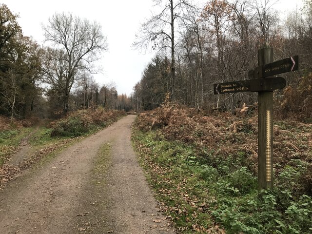
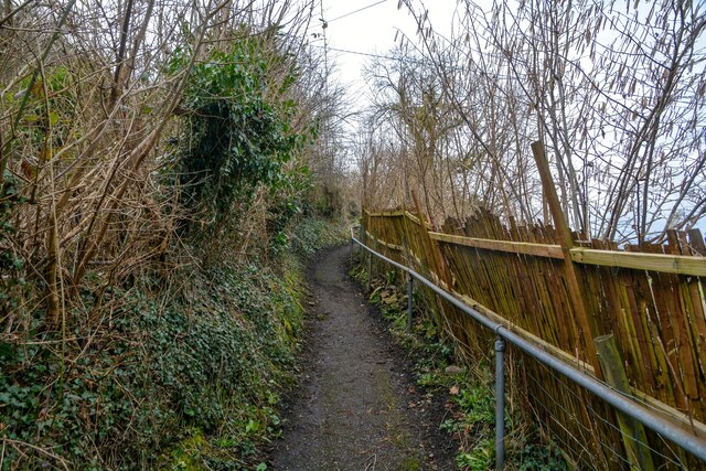
The woodland offers several walking trails, allowing visitors to explore its natural wonders at their own pace. These trails wind through the ancient trees, providing opportunities for hikers to immerse themselves in nature and enjoy the peaceful ambiance. The well-maintained paths are suitable for all abilities, ensuring accessibility for everyone.
Eastbachmeend Inclosure is managed by the Forestry Commission, which ensures the preservation of the woodland's ecological balance while providing recreational opportunities for the public. The Commission also organizes educational programs and events to promote environmental awareness and engage visitors in the conservation efforts.
Overall, Eastbachmeend Inclosure is a remarkable woodland that showcases the beauty of Gloucestershire's natural landscape. Its diverse flora and fauna, combined with its tranquil atmosphere, make it a cherished destination for both locals and tourists seeking a connection with nature.
If you have any feedback on the listing, please let us know in the comments section below.
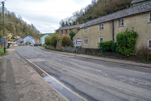
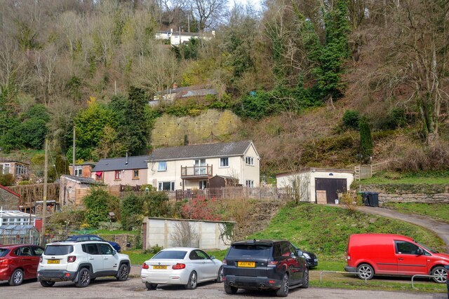
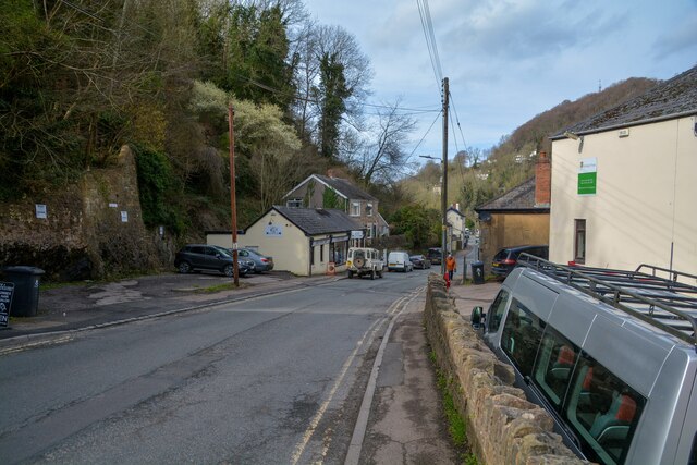
Eastbachmeend Inclosure Images
Images are sourced within 2km of 51.823942/-2.5877541 or Grid Reference SO5914. Thanks to Geograph Open Source API. All images are credited.


Eastbachmeend Inclosure is located at Grid Ref: SO5914 (Lat: 51.823942, Lng: -2.5877541)
Administrative County: Gloucestershire
District: Forest of Dean
Police Authority: Gloucestershire
What 3 Words
///cage.tweed.questions. Near Lydbrook, Gloucestershire
Nearby Locations
Related Wikis

Edge End, Gloucestershire
Edge End is a small hamlet in west Gloucestershire, England. == Location and amenities == Edge End is about 1.5 miles NW of Coleford and about 1 mile north...

Brooks Head Grove
Brooks Head Grove (grid reference SO586145) is an 11.9-hectare (29-acre) biological Site of Special Scientific Interest in Gloucestershire, notified in...

Eastbach Court
Eastbach Court is a historic Grade II listed mansion in English Bicknor, Gloucestershire, England. == History == The house was built on a former messuage...
Slaughter Stream Cave
Slaughter Stream Cave, also known as Wet Sink, is a cave system in the Wye Valley, Forest of Dean. A series of fixed ladders and two pitches lead to sporting...
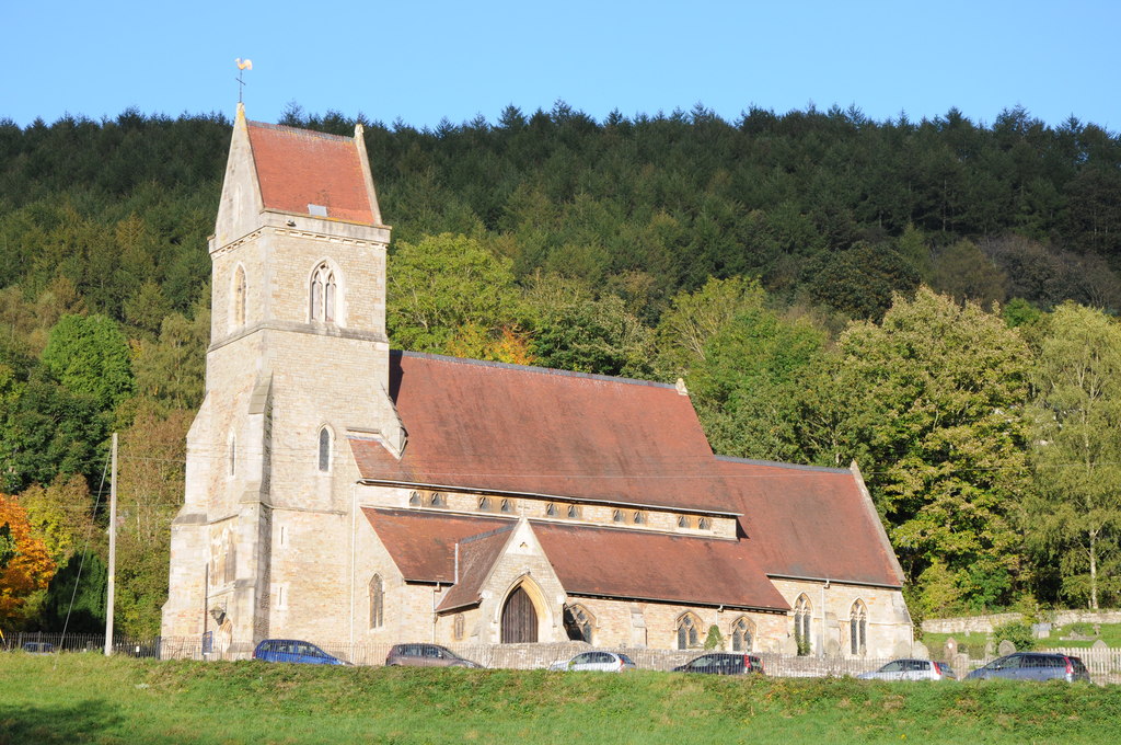
Holy Jesus Church, Lydbrook
Holy Jesus Church at Lydbrook is a Church of England parish church in the English county of Gloucestershire. == Structure == The greater part of the church...

Upper Lydbrook railway station
Upper Lydbrook railway station served the civil parish of Lydbrook, Gloucestershire, England, from 1875 to 1929 on the Severn and Wye Railway. == History... ==
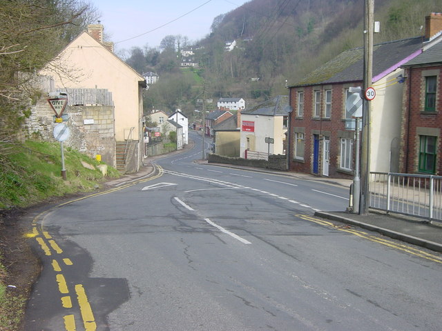
Lydbrook
Lydbrook is a civil parish in the Forest of Dean, a local government district in the English county of Gloucestershire and is located in the Wye Valley...
Wimberry Quarries
Wimberry Quarries (grid reference SO594121) is a 2-hectare (4.9-acre) nature reserve in Gloucestershire in the Forest of Dean.The site is held under agreement...
Nearby Amenities
Located within 500m of 51.823942,-2.5877541Have you been to Eastbachmeend Inclosure?
Leave your review of Eastbachmeend Inclosure below (or comments, questions and feedback).