Carsluith

Settlement in Kirkcudbrightshire

Scotland

Carsluith

Sheds belonging to Bagbie Farm
Sheds belonging to Bagbie Farm Credit: Eirian Evans

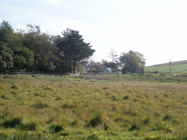
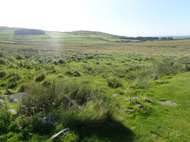
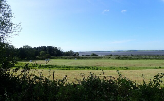
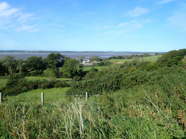
Carsluith is a small village located in the historic county of Kirkcudbrightshire, in the southern part of Scotland. Situated along the eastern shore of Wigtown Bay, the village is nestled amidst picturesque countryside and offers stunning views of the surrounding hills and coastal landscapes.

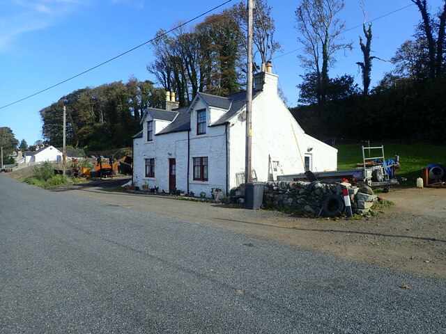
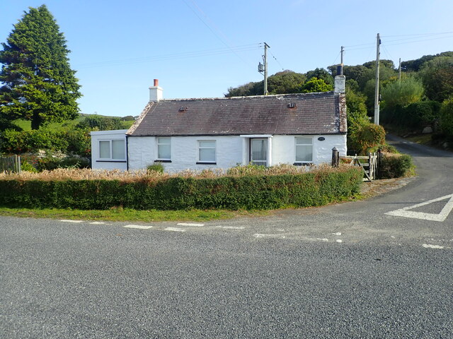
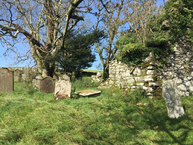
With a population of around 100 residents, Carsluith is a tranquil and close-knit community. The village is primarily residential, consisting of a scattering of charming cottages and a few local amenities. The Carsluith Castle, a 16th-century tower house, stands as a prominent landmark in the area, attracting history enthusiasts and visitors interested in exploring its intriguing past.

Nature lovers will find themselves drawn to Carsluith's natural beauty. The village is within close proximity to several nature reserves, such as the Wigtown Bay Nature Reserve and the Wood of Cree. These areas provide opportunities for birdwatching, walking trails, and observing various wildlife species in their natural habitat.

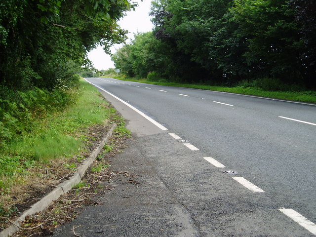
For those seeking outdoor activities, the nearby Galloway Forest Park offers a range of recreational opportunities, including mountain biking, hiking, and stargazing due to its status as a Dark Sky Park. Additionally, the village is conveniently located near the A75 road, providing easy access to nearby towns and attractions.

Carsluith provides a peaceful and idyllic setting, making it an ideal destination for those looking to escape the hustle and bustle of city life while still being within reach of essential amenities and natural wonders.

If you have any feedback on the listing, please let us know in the comments section below.
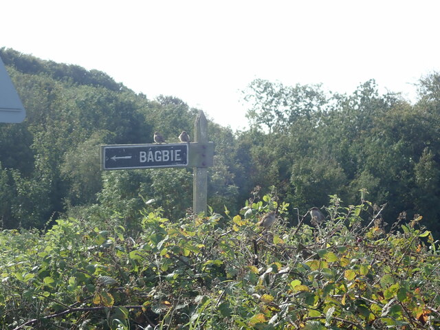
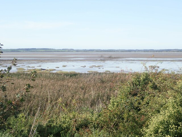
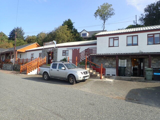
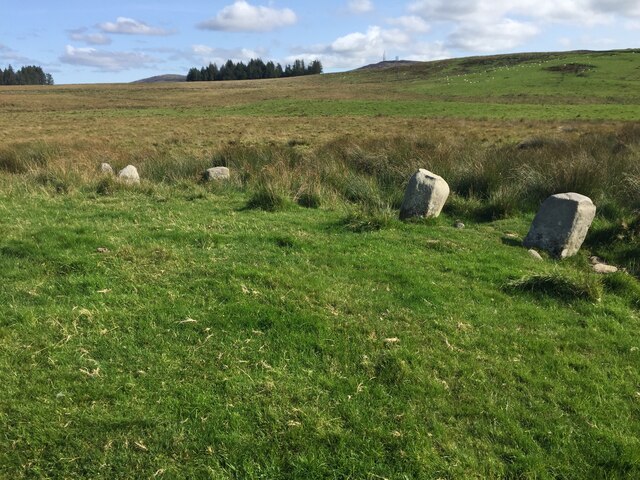
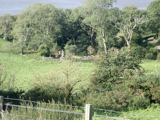
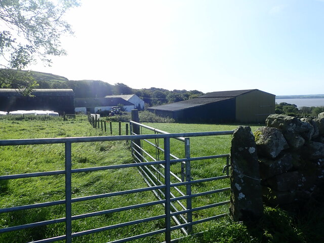
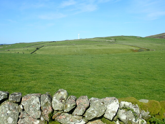
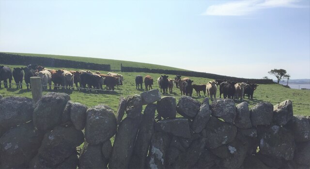
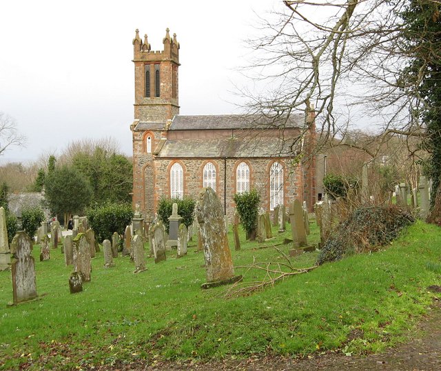
Carsluith Images

Images are sourced within 2km of 54.8657/-4.359616 or Grid Reference NX4854. Thanks to Geograph Open Source API. All images are credited.

Sheds belonging to Bagbie Farm
Moorland, Knock Gray View to distant Kirkdale Hill
Moorland, Knock Gray
View to distant Kirkdale Hill
A75 Gretna-Stranraer Road near Carsluith. Picture taken from the east end of the lay-by, east of Carsluith Castle.
A75 Gretna-Stranraer Road near Carsluith.
Picture taken from the east end of the lay-by, east of Carsluith Castle.
Standing Stone SE of Bagbie Sheds Two similar solitary stones are to be found a short distance to the south. None of these stones appear to be recorded by the Royal Commission on the Ancient and Historical Monuments of Scotland in their Canmore Database. Therefore, the antiquity of these stones has to be considered as doubtful.
Standing Stone SE of Bagbie Sheds
Two similar solitary stones are to be found a short distance to the south. None of these stones appear to be recorded by the Royal Commission on the Ancient and Historical Monuments of Scotland in their Canmore Database. Therefore, the antiquity of these stones has to be considered as doubtful.
Perching on the Bagbie signpost Perching spot for a few sparrows
Perching on the Bagbie signpost
Perching spot for a few sparrows
View across the River Cree Across the river is Wigtown. There are stake nets, used for catching salmon, in the saltings
View across the River Cree
Across the river is Wigtown. There are stake nets, used for catching salmon, in the saltings
The Galloway Smokehouse The smokehouse offers a great variety of fish, game and cheese, all smoked in specially selected sawdust. This is a by-product from a nearby cooperage, where whisky barrels are refurbished, the barrel bands are taken off and all the joints are re-planed to give a watertight seal. These shavings impregnated with whisky are burnt in the smokers to give the rich strength of taste to the products. There is also a restaurant attached to the smokehouse.
The Galloway Smokehouse
The smokehouse offers a great variety of fish, game and cheese, all smoked in specially selected sawdust. This is a by-product from a nearby cooperage, where whisky barrels are refurbished, the barrel bands are taken off and all the joints are re-planed to give a watertight seal. These shavings impregnated with whisky are burnt in the smokers to give the rich strength of taste to the products. There is also a restaurant attached to the smokehouse.
Stone circle East of the remains of Kirkmabreck Church
Stone circle
East of the remains of Kirkmabreck Church
House at Carsluith
House at Carsluith
Fields cut for silage above Carsluith
Cottage at Carsluith
Graveyard at Kilmabreck Church
Ruin near Kirkbride Burn
Kirkbride Farm The River Cree in the distance
Kirkbride Farm
The River Cree in the distance
Bagbie Farm On the hillside east of the Cree estuary
Bagbie Farm
On the hillside east of the Cree estuary
View over pasture to Kilmabreck wind turbine
Cattle, all in a row Taking an interest in passing walkers
Cattle, all in a row
Taking an interest in passing walkers
Barn at Knock Grey
Barn at Knock Grey
Show me another place!

Carsluith is located at Grid Ref: NX4854 (Lat: 54.8657, Lng: -4.359616)

Unitary Authority: Dumfries and Galloway

Police Authority: Dumfries and Galloway

What 3 Words

///flexibly.seducing.sugar. Near Newton Stewart, Dumfries & Galloway

Related Wikis

River Bladnoch

The Bladnoch is a river in Wigtownshire in the Machars of Galloway in southwest Scotland. One of the earliest descriptions of it is given by Sir Andrew...

River Cree

The River Cree is a river in Dumfries and Galloway, Scotland which runs through Newton Stewart and into the Solway Firth. It forms part of the boundary...
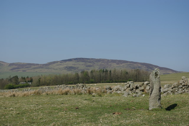
Cairnholy

Cairnholy (or Cairn Holy) is the site of two Neolithic chambered tombs of the Clyde type. It is located 4 kilometres east of the village of Carsluith in...

Creetown F.C.

Creetown Football Club are a football club based in Creetown in the Dumfries and Galloway area of Scotland. Formed in 1905 as Creetown Rifle Volunteers...
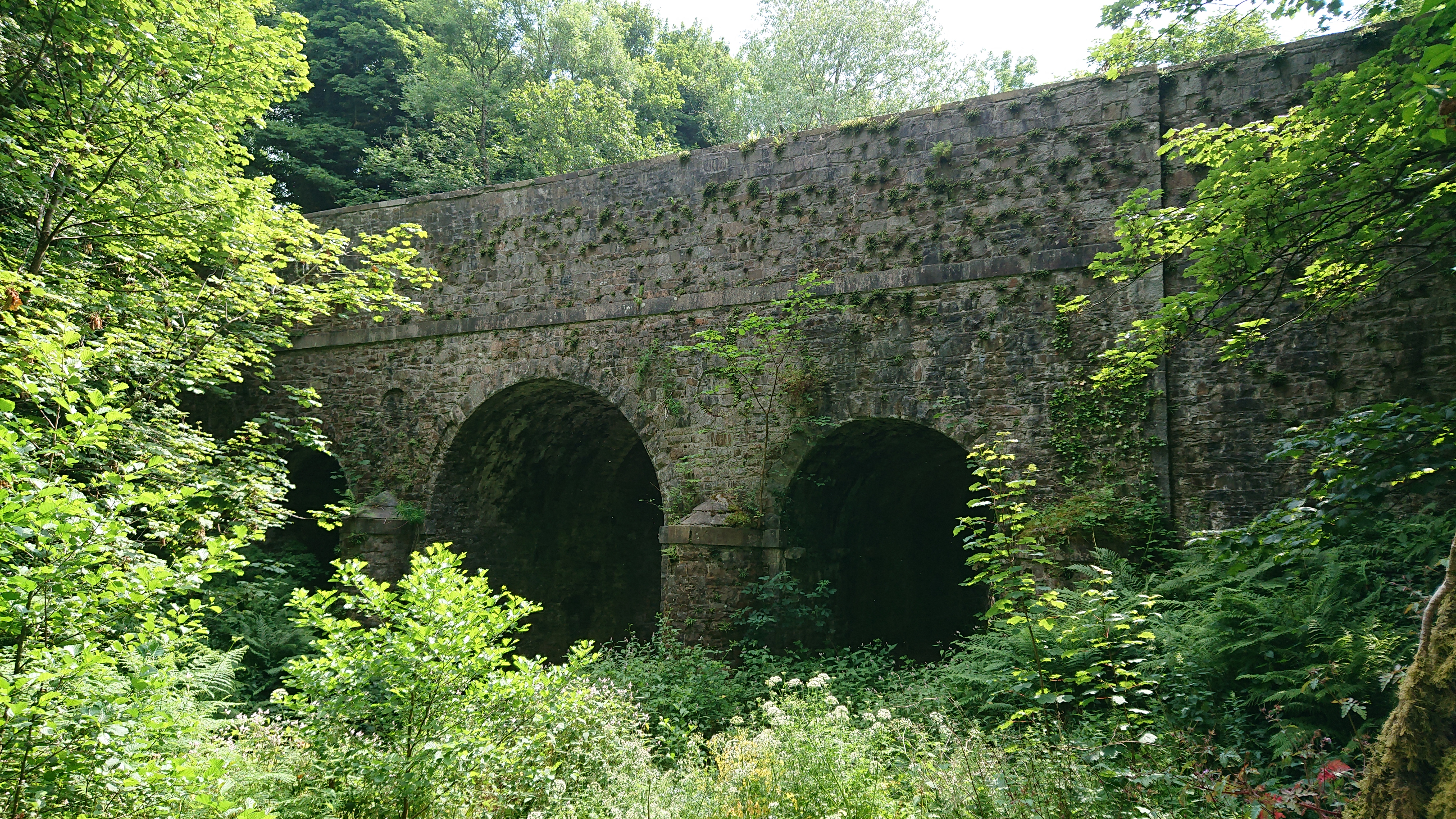
Kirkdale Bridge

Kirkdale Bridge is a bridge over the Kirkdale Burn in the parish of Kirkmabreck, between Gatehouse of Fleet and Creetown in Dumfries and Galloway, Scotland...

Ravenshall Wood

Ravenshall Wood is a Site of Special Scientific Interest, located 5 kilometres east of Creetown in the historic county of Kirkcudbrightshire, Dumfries...

Barholm Castle

Barholm Castle is a tower house located 5 miles (8.0 km) south-west of Gatehouse of Fleet, in Kirkcudbrightshire, Galloway, Scotland. The tower dates back...

Kirkmabreck

Kirkmabreck is a civil parish in the historic county of Kirkcudbrightshire in the Dumfries and Galloway council area, Scotland. Situated in the historic...

Related Videos

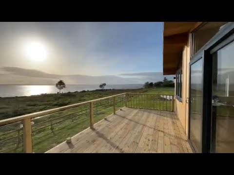
Kirkdale Estate Lodges, Carsluith Castle, Dumfries and Galloway, coastal lodges for sale

Outstanding new bespoke cedar holiday lodges for sale. Situated on the coast of beautiful Galloway with spectacular sea views ...

The disused granite quarry: Kirkmabreck Quarry /Dumfries and Galloway/Scotland

For additional information please turn on the subtitles. Available in 4 languages. The quarry, located near Creetown in Dumfries ...

Nearby Amenities

Located within 500m of 54.8657,-4.359616
Source: PGS
Lat/Long: 54.867934/-4.3663575
Source: PGS
Lat/Long: 54.8672116/-4.3659517
Source: PGS
Lat/Long: 54.8669416/-4.3657439
Source: PGS
Lat/Long: 54.8667428/-4.3655821
Source: PGS
Lat/Long: 54.8666094/-4.3654577
Source: PGS
Lat/Long: 54.8665361/-4.3651108
Source: PGS
Lat/Long: 54.8666466/-4.364468
Source: PGS
Lat/Long: 54.8664904/-4.3641365
Source: PGS
Lat/Long: 54.8662286/-4.3638361
Source: PGS
Lat/Long: 54.8661557/-4.3636
Source: PGS
Lat/Long: 54.8660446/-4.3634498
Source: PGS
Lat/Long: 54.8658976/-4.3633575
Village
Local Ref: VIEW TE
Naptan AtcoCode: 680000041333
Naptan Bearing: NW
Naptan BusStopType: CUS
Naptan CommonName: Village
Naptan Indicator: Bayview Terr
Naptan Landmark: Carsluith
Naptan NaptanCode: 34236782
Naptan Notes: none
Naptan Street: Bayview Terrace
Naptan Verified: no
Source: naptan_import
Lat/Long: 54.8651318/-4.3585904
Village
Naptan AtcoCode: 680000041444
Naptan Bearing: SE
Naptan BusStopType: CUS
Naptan CommonName: Village
Naptan Indicator: opp Bayview Terr
Naptan Landmark: Carsluith
Naptan NaptanCode: 34238628
Naptan Notes: none
Naptan Street: Bayview Terrace
Naptan Verified: no
Source: naptan_import
Lat/Long: 54.8652284/-4.3587052
Place: farm
Lat/Long: 54.869395/-4.3607083
Power: pole
Lat/Long: 54.8694484/-4.3625608
Power: pole
Lat/Long: 54.8687529/-4.3619083
Power: pole
Lat/Long: 54.8681106/-4.3612963
Power: pole
Lat/Long: 54.8675103/-4.3607382
Power: pole
Lat/Long: 54.8668945/-4.3601512
Power: pole
Lat/Long: 54.8660727/-4.3593737
Power: pole
Lat/Long: 54.8658235/-4.3598683
Power: pole
Lat/Long: 54.8652398/-4.3607401
Power: pole
Lat/Long: 54.8647281/-4.3607805
Power: pole
Lat/Long: 54.86413/-4.3608209
Power: pole
Lat/Long: 54.8636924/-4.3608402
Power: pole
Lat/Long: 54.8657027/-4.3618121
Power: pole
Lat/Long: 54.8661912/-4.3629668
Power: pole
Lat/Long: 54.8662831/-4.3587501
Power: pole
Lat/Long: 54.8647358/-4.3519814
Power: pole
Lat/Long: 54.8646633/-4.353437
Power: pole
Lat/Long: 54.8645706/-4.354972
Power: pole
Lat/Long: 54.8642149/-4.3526579
Telephone
Booth: K6
Covered: booth
Man Made: telephone_box
Lat/Long: 54.8652297/-4.3577534
Post Box
Collection Times: Mo-Fr 12:00; Sa 11:30
Operator: Royal Mail
Post Box Type: lamp
Ref: DG8 38
Royal Cypher: scottish_crown
Lat/Long: 54.8652175/-4.3584193
The data included in this document is from www.openstreetmap.org. The data is made available under ODbL.

Have you been to Carsluith?

Leave your review of Carsluith below (or comments, questions and feedback).