Nancy Scar
Coastal Feature, Headland, Point in Kirkcudbrightshire
Scotland
Nancy Scar
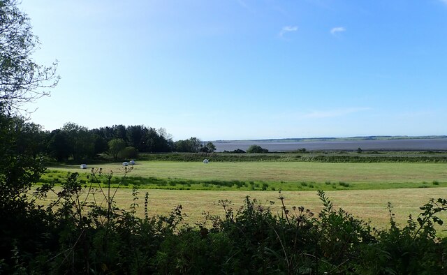
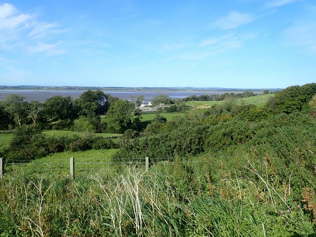
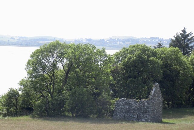
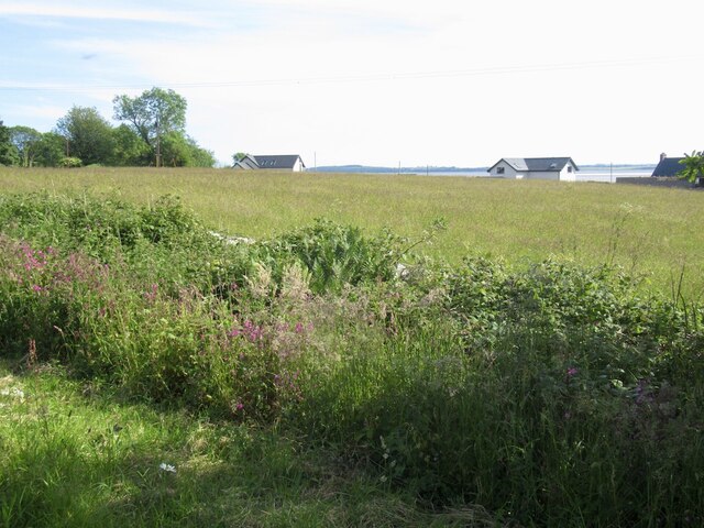
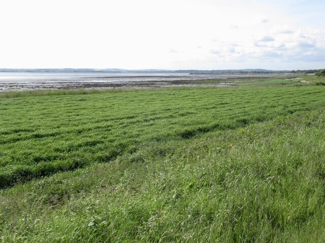
Nancy Scar is a prominent coastal feature located in Kirkcudbrightshire, Scotland. It is a headland or point that extends out into the North Sea, offering stunning panoramic views of the surrounding landscape.
Situated near the town of Kirkcudbright, Nancy Scar is characterized by its rugged cliffs, which reach heights of approximately 30 meters (98 feet) above sea level. These cliffs are composed of sedimentary rocks, including sandstone and shale, which are interspersed with occasional patches of vegetation.
The headland is known for its diverse wildlife and is a popular spot for birdwatching enthusiasts. Its position on the coast provides a habitat for various seabirds, including guillemots, razorbills, and kittiwakes, which can be observed nesting and diving into the sea in search of food. Visitors may also catch a glimpse of seals basking on the rocks or dolphins swimming in the nearby waters.
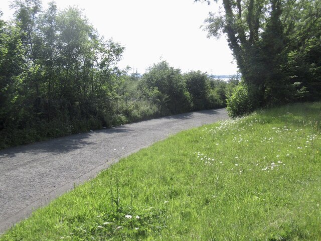
Nancy Scar is accessible to the public, with a footpath that leads visitors along the cliff edges, allowing them to explore the area and take in the breathtaking scenery. However, caution is advised as the cliffs can be steep and unstable in certain sections.
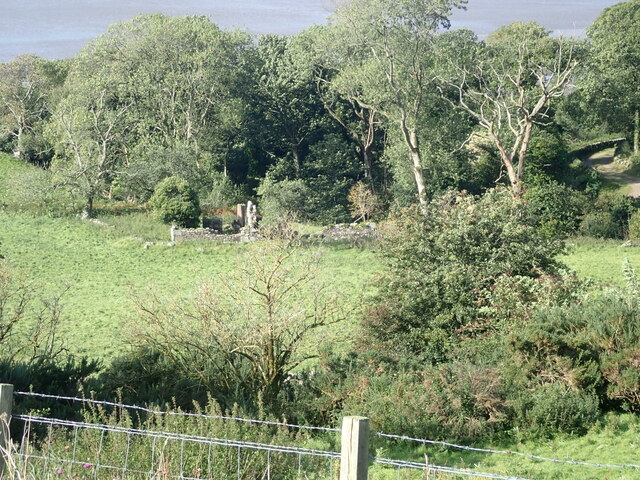
The headland is also steeped in history, with remnants of ancient fortifications found in the area. These structures are believed to have been built during the Iron Age and provide insights into the region's past.
Overall, Nancy Scar is a picturesque coastal feature that offers visitors a chance to appreciate the natural beauty and rich history of Kirkcudbrightshire's coastline.
If you have any feedback on the listing, please let us know in the comments section below.
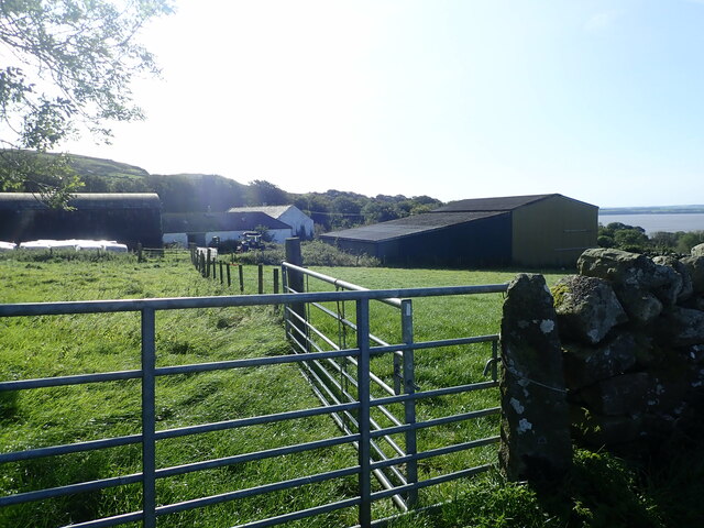
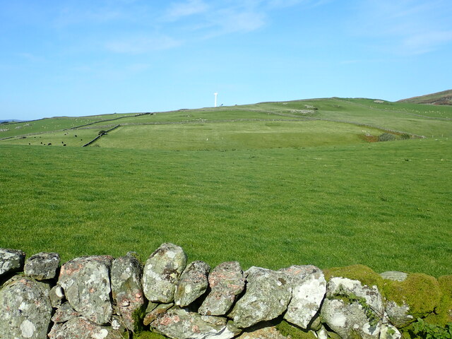
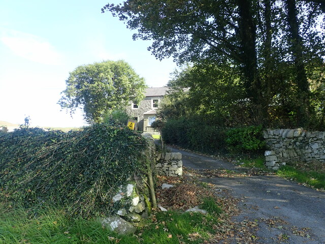
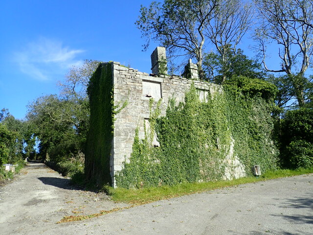
Nancy Scar Images
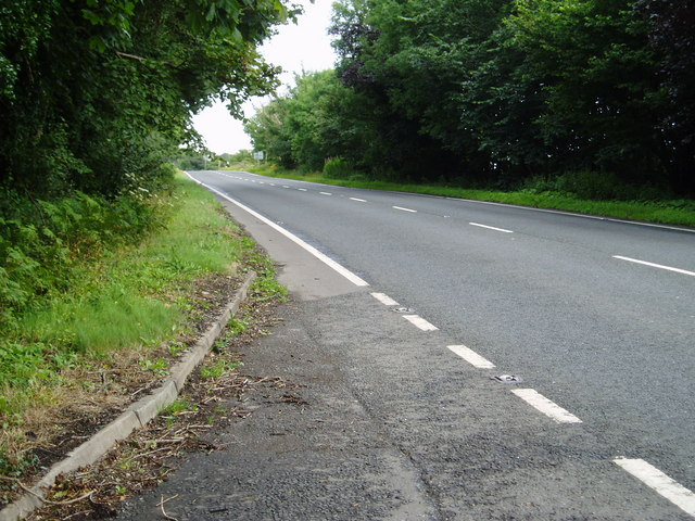
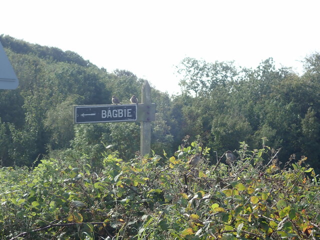
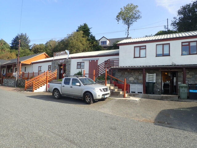
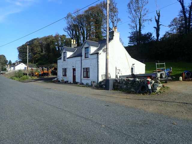
Images are sourced within 2km of 54.860016/-4.3598609 or Grid Reference NX4854. Thanks to Geograph Open Source API. All images are credited.
Nancy Scar is located at Grid Ref: NX4854 (Lat: 54.860016, Lng: -4.3598609)
Unitary Authority: Dumfries and Galloway
Police Authority: Dumfries and Galloway
What 3 Words
///golden.eventful.unscrew. Near Newton Stewart, Dumfries & Galloway
Nearby Locations
Related Wikis

River Bladnoch
The Bladnoch is a river in Wigtownshire in the Machars of Galloway in southwest Scotland. One of the earliest descriptions of it is given by Sir Andrew...

River Cree
The River Cree is a river in Dumfries and Galloway, Scotland which runs through Newton Stewart and into the Solway Firth. It forms part of the boundary...

Cairnholy
Cairnholy (or Cairn Holy) is the site of two Neolithic chambered tombs of the Clyde type. It is located 4 kilometres east of the village of Carsluith in...
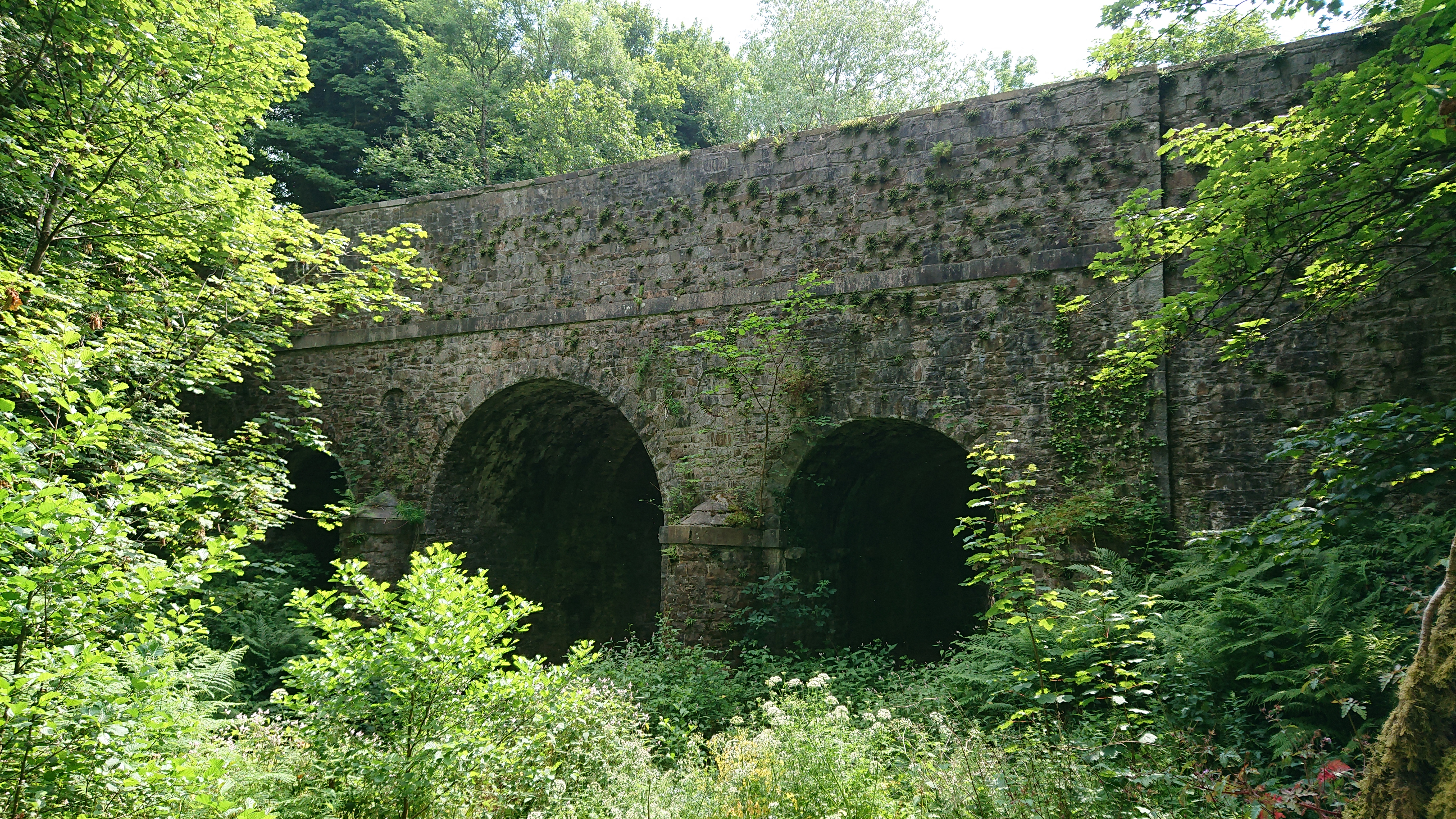
Kirkdale Bridge
Kirkdale Bridge is a bridge over the Kirkdale Burn in the parish of Kirkmabreck, between Gatehouse of Fleet and Creetown in Dumfries and Galloway, Scotland...

Ravenshall Wood
Ravenshall Wood is a Site of Special Scientific Interest, located 5 kilometres east of Creetown in the historic county of Kirkcudbrightshire, Dumfries...

Barholm Castle
Barholm Castle is a tower house located 5 miles (8.0 km) south-west of Gatehouse of Fleet, in Kirkcudbrightshire, Galloway, Scotland. The tower dates back...
Creetown F.C.
Creetown Football Club are a football club based in Creetown in the Dumfries and Galloway area of Scotland. Formed in 1905 as Creetown Rifle Volunteers...
Kirkmabreck
Kirkmabreck is a civil parish in the historic county of Kirkcudbrightshire in the Dumfries and Galloway council area, Scotland. Situated in the historic...
Nearby Amenities
Located within 500m of 54.860016,-4.3598609Have you been to Nancy Scar?
Leave your review of Nancy Scar below (or comments, questions and feedback).