Staddon Point
Coastal Feature, Headland, Point in Devon South Hams
England
Staddon Point
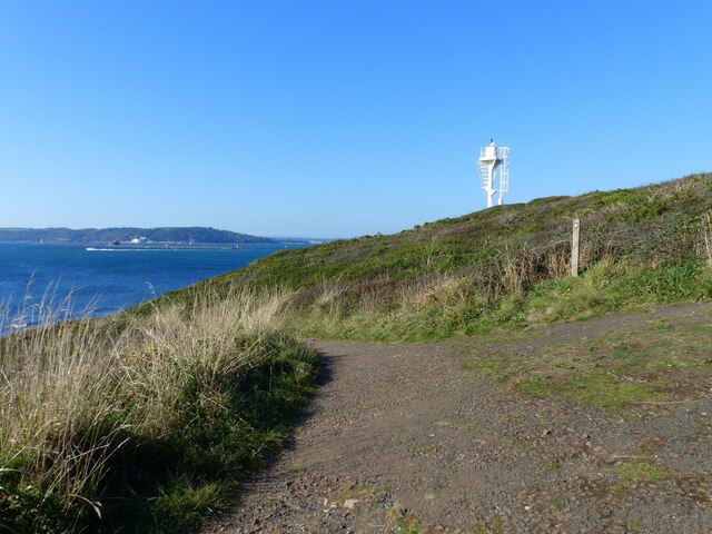
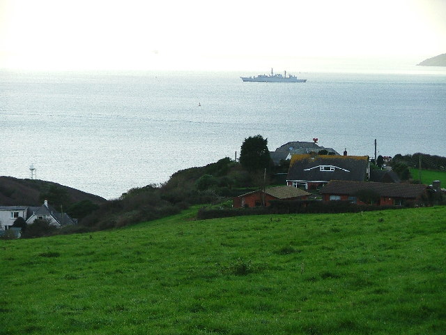
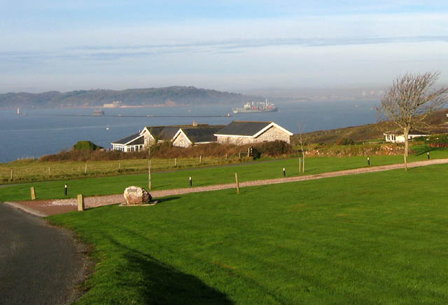
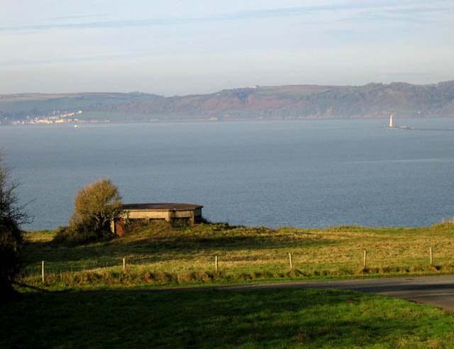
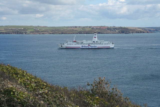
Staddon Point is a prominent coastal feature located in Devon, England. Situated near the city of Plymouth, it is a headland that extends into the English Channel, offering stunning views of the surrounding coastline.
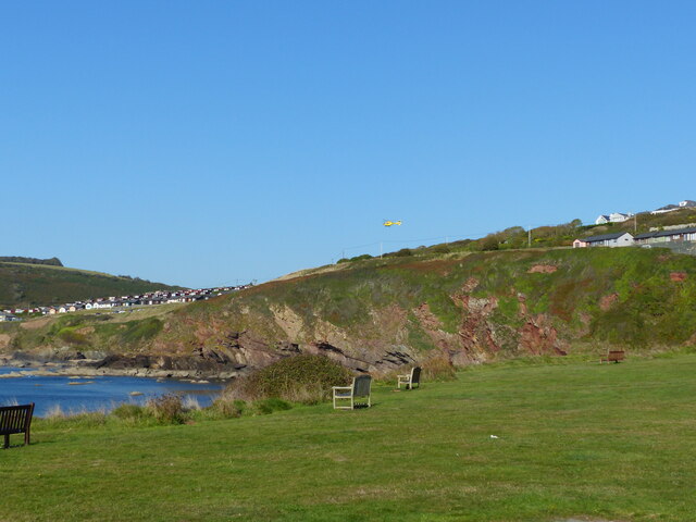
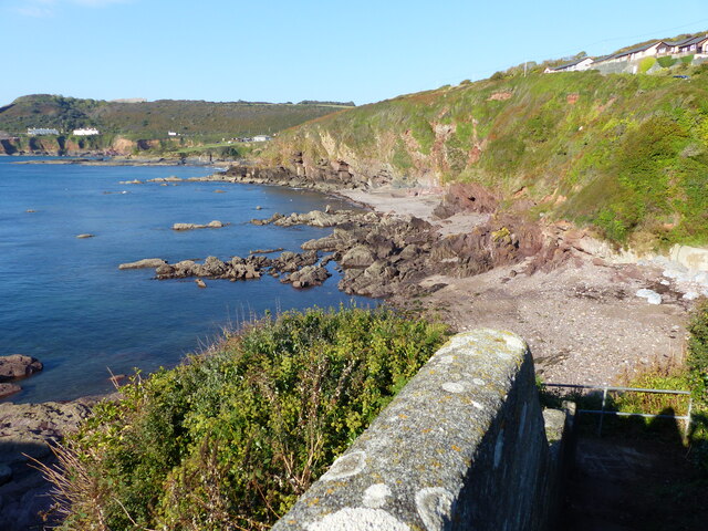
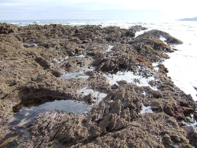
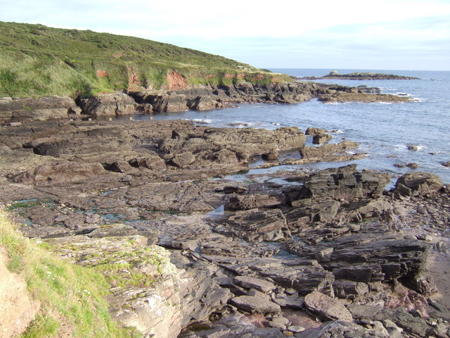
Stretching approximately 2 kilometers in length, Staddon Point is characterized by rugged cliffs that rise up to 50 meters above sea level. These cliffs are composed of various rock types, including limestone and shale, which have been shaped by the relentless forces of erosion over millions of years. The constant battering of the waves against the cliffs has resulted in the formation of numerous caves, arches, and stacks along the shoreline.
The headland is also home to a diverse array of flora and fauna. The cliff faces provide a habitat for nesting seabirds such as fulmars, guillemots, and razorbills. During the summer months, the vegetation on the headland bursts into color, with wildflowers such as thrift and sea campion adding a vibrant touch to the landscape.
Visitors to Staddon Point can enjoy a variety of activities, including coastal walks, birdwatching, and photography. The headland is easily accessible, with a footpath leading from the nearby town of Plymstock. There are also several designated viewpoints that offer panoramic vistas of the coastline, providing an excellent opportunity to witness the power of the sea and appreciate the natural beauty of the area.
Overall, Staddon Point is a captivating coastal feature in Devon, offering a unique blend of geological wonders, wildlife, and scenic vistas that make it a must-visit destination for nature enthusiasts and outdoor adventurers.
If you have any feedback on the listing, please let us know in the comments section below.
Staddon Point Images
Images are sourced within 2km of 50.336789/-4.1288526 or Grid Reference SX4850. Thanks to Geograph Open Source API. All images are credited.


Staddon Point is located at Grid Ref: SX4850 (Lat: 50.336789, Lng: -4.1288526)
Administrative County: Devon
District: South Hams
Police Authority: Devon and Cornwall
What 3 Words
///vibes.fonts.lamps. Near Plymstock, Devon
Nearby Locations
Related Wikis
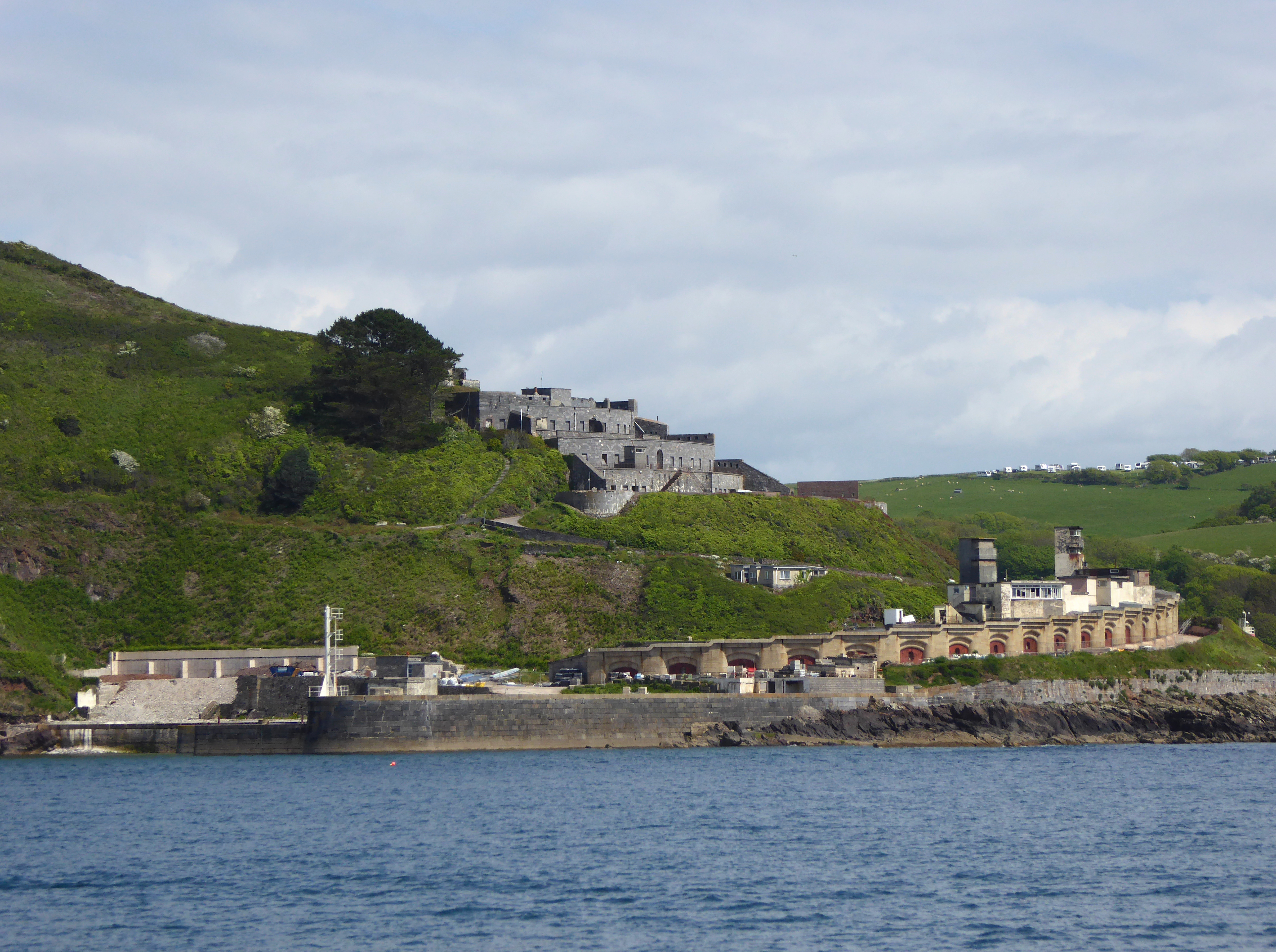
Fort Bovisand
Fort Bovisand is a fort in Devon, England near the beach of Bovisand. It was built as a result of the Royal Commission on the Defence of the United Kingdom...

Bovisand
Bovisand is a natural coastline on the east side of Plymouth Sound in Devon, England. Despite the steep cliff paths and rocky surrounding, Bovisand features...

Frobisher Battery
Frobisher Battery is a former gun battery at Staddon Heights, Plymouth, Devon. The original battery at the site, Twelve Acre Brake Battery, was completed...
Brownhill Battery
Brownhill Battery is a former gun battery at Staddon Heights, Plymouth, Devon. It was one of a number of Plymouth fortifications to be recommended by the...
Nearby Amenities
Located within 500m of 50.336789,-4.1288526Have you been to Staddon Point?
Leave your review of Staddon Point below (or comments, questions and feedback).