Bovisand Bay
Bay in Devon
England
Bovisand Bay
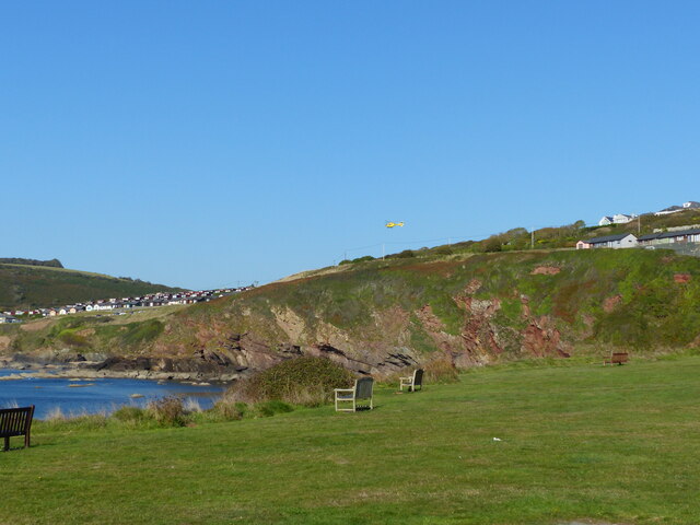
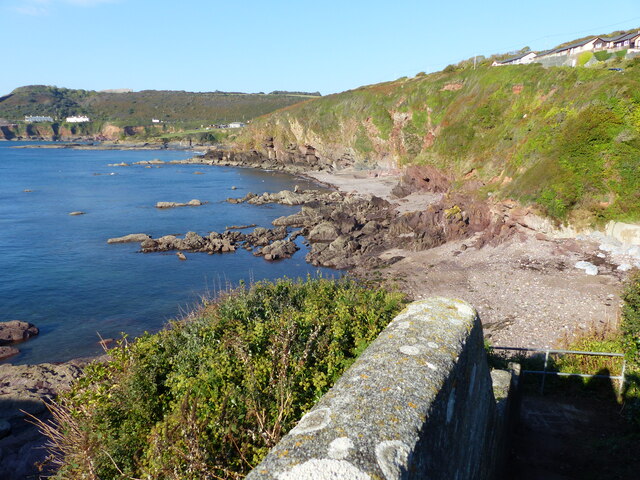
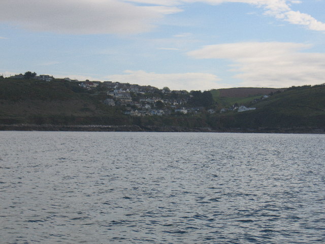
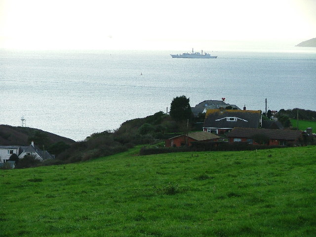
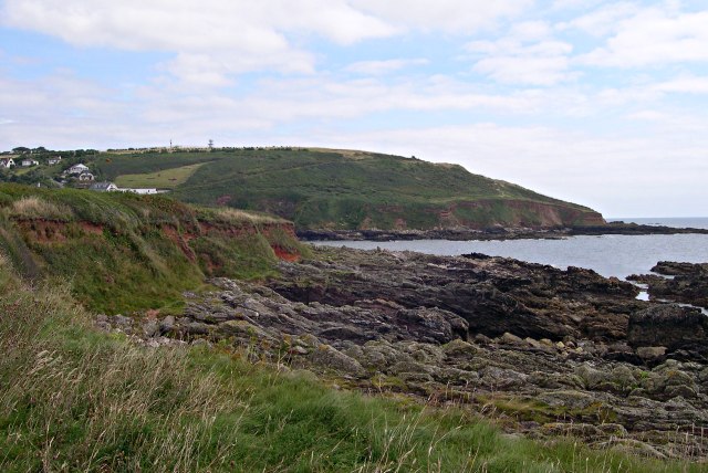
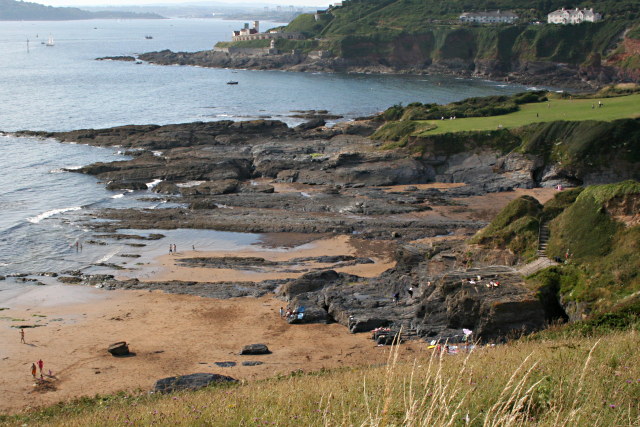
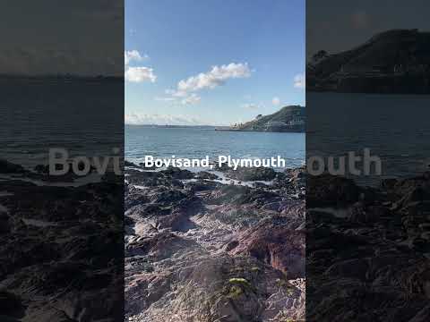
Bovisand Bay is a picturesque coastal area located in South Devon, England. Situated within the South Devon Area of Outstanding Natural Beauty, this bay offers visitors a stunning landscape of sandy beaches, rugged cliffs, and crystal-clear waters. It is a popular destination for both locals and tourists seeking a tranquil seaside retreat.
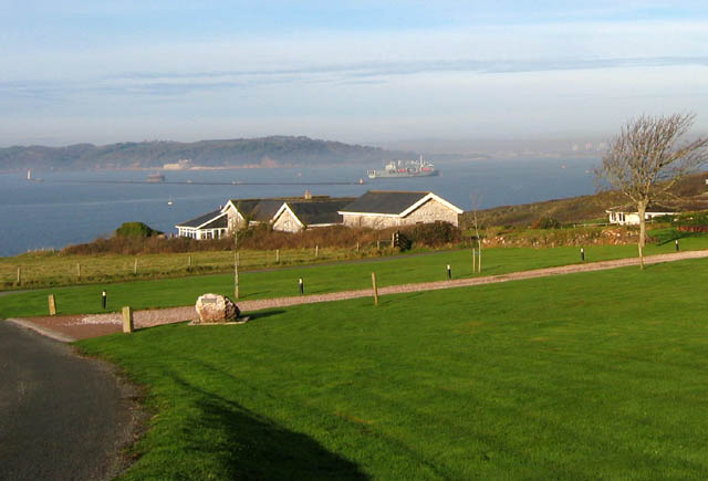
The bay is nestled between the villages of Bovisand and Down Thomas, approximately five miles from the city of Plymouth. Its convenient location makes it easily accessible by car or public transportation. Bovisand Bay boasts a large parking area for visitors, ensuring convenience and ease of access.
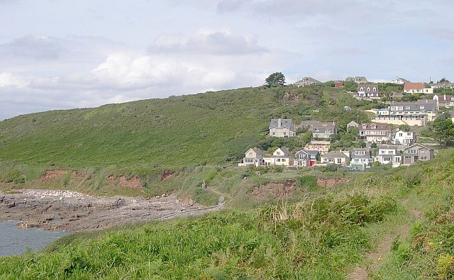
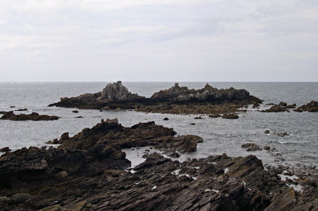
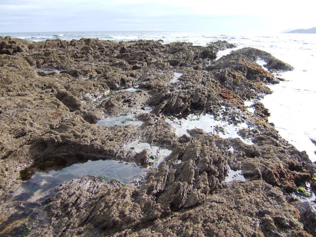
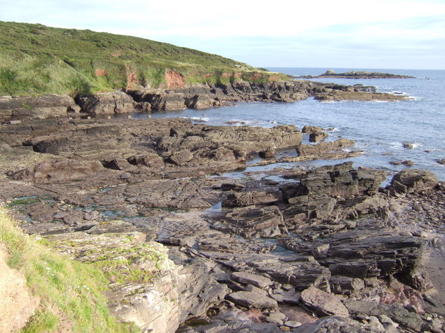
The main attraction of Bovisand Bay is its beautiful sandy beach, which stretches for over half a mile at low tide. The beach offers a range of activities for visitors to enjoy, including swimming, sunbathing, and picnicking. The calm and shallow waters make it a safe spot for families with children.
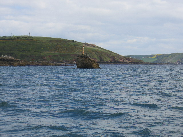
For those seeking a more adventurous experience, Bovisand Bay also offers opportunities for water sports such as kayaking, paddleboarding, and snorkeling. The bay's clear waters allow for excellent visibility, making it an ideal spot for underwater exploration.
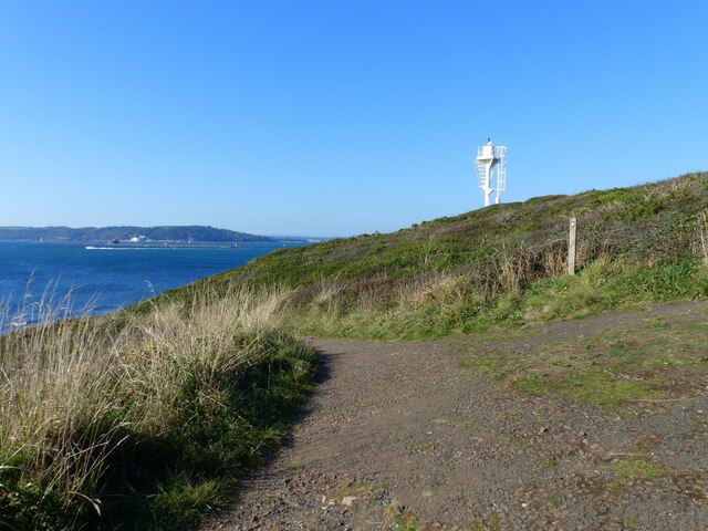
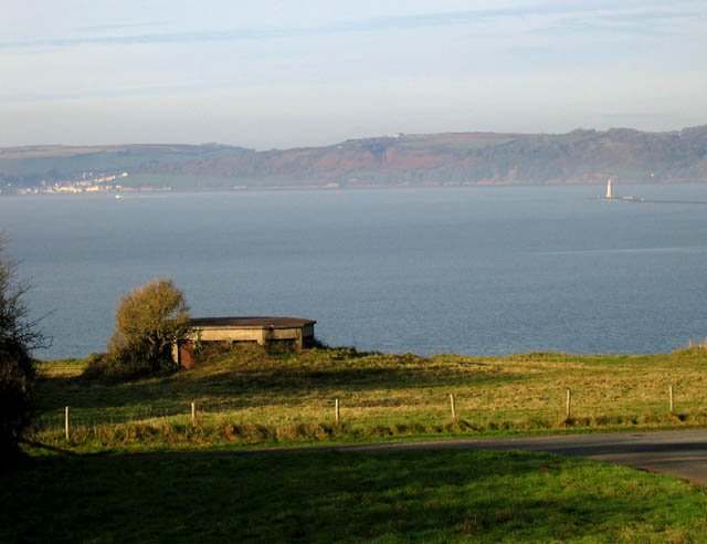
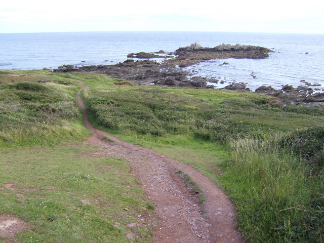
In addition to its natural beauty, Bovisand Bay is surrounded by scenic coastal walks, offering breathtaking views of the surrounding area. Visitors can explore the South West Coast Path, which meanders along the rugged cliffs and provides stunning vistas of the bay and its surroundings.
Overall, Bovisand Bay is a hidden gem on the South Devon coast, offering visitors a perfect blend of natural beauty, tranquility, and recreational activities. Whether one seeks relaxation or adventure, this bay provides a captivating experience for all who visit.
If you have any feedback on the listing, please let us know in the comments section below.
Bovisand Bay Images
Images are sourced within 2km of 50.334828/-4.123987 or Grid Reference SX4850. Thanks to Geograph Open Source API. All images are credited.
Bovisand Bay is located at Grid Ref: SX4850 (Lat: 50.334828, Lng: -4.123987)
Administrative County: Devon
Police Authority: Devon and Cornwall
What 3 Words
///spoke.bumps.putty. Near Plymstock, Devon
Nearby Locations
Related Wikis

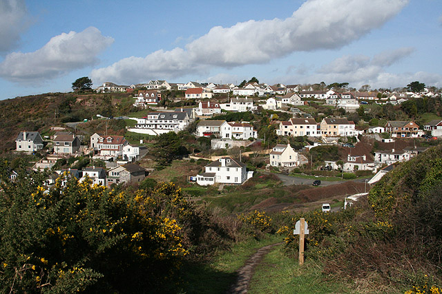
Bovisand
Bovisand is a natural coastline on the east side of Plymouth Sound in Devon, England. Despite the steep cliff paths and rocky surrounding, Bovisand features...
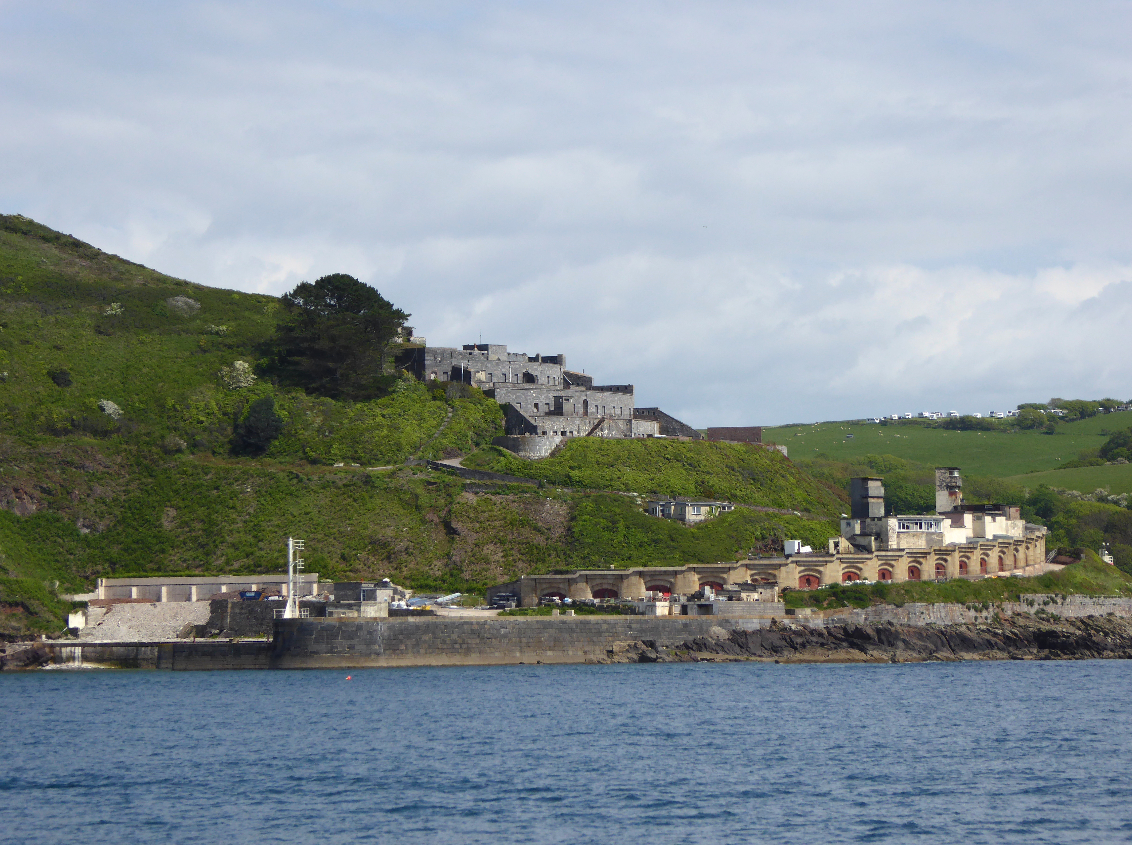
Fort Bovisand
Fort Bovisand is a fort in Devon, England near the beach of Bovisand. It was built as a result of the Royal Commission on the Defence of the United Kingdom...

Frobisher Battery
Frobisher Battery is a former gun battery at Staddon Heights, Plymouth, Devon. The original battery at the site, Twelve Acre Brake Battery, was completed...
Brownhill Battery
Brownhill Battery is a former gun battery at Staddon Heights, Plymouth, Devon. It was one of a number of Plymouth fortifications to be recommended by the...
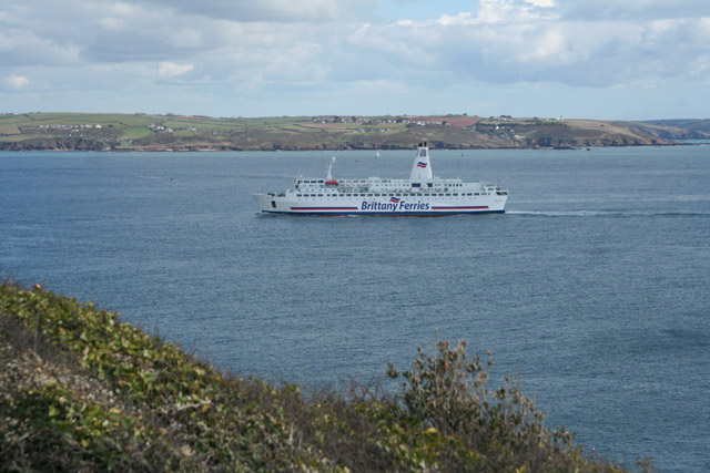
Plymouth Sound, Shores and Cliffs
Plymouth Sound, Shores and Cliffs is a Site of Special Scientific Interest (SSSI) around the Plymouth Sound, a large area of water where the River Plym...
Watch House Battery
Watch House Battery is a former 19th-century gun battery, built as one of a number of batteries to defend the Eastern approaches to Plymouth Sound, for...

Lentney Battery
Lentney Battery is a former 20th-century gun battery, built in 1905 as one of three 6-inch gun batteries to defend the Eastern approaches to Plymouth Sound...

Staddon Fort
Staddon Fort is a 19th-century fort, built as a result of the Royal Commission on National Defence of 1859. Part of an extensive scheme known as Palmerston...
Related Videos


Jennycliff Bay - Plymouth, Devon, England, UK
Please Subscribe to my channel here: https://www.youtube.com/channel/UCCRwo9M6JMmW3dxvGyeyXew?sub_confirmation=1 ...

Nearby Amenities
Located within 500m of 50.334828,-4.123987Have you been to Bovisand Bay?
Leave your review of Bovisand Bay below (or comments, questions and feedback).