Steinhead Point
Coastal Feature, Headland, Point in Wigtownshire
Scotland
Steinhead Point
Steinhead Point is a prominent headland located in Wigtownshire, a region in Dumfries and Galloway, southwest Scotland. Situated along the picturesque coastline of the Irish Sea, this coastal feature stands as a majestic point that offers breathtaking views and a rich natural environment.
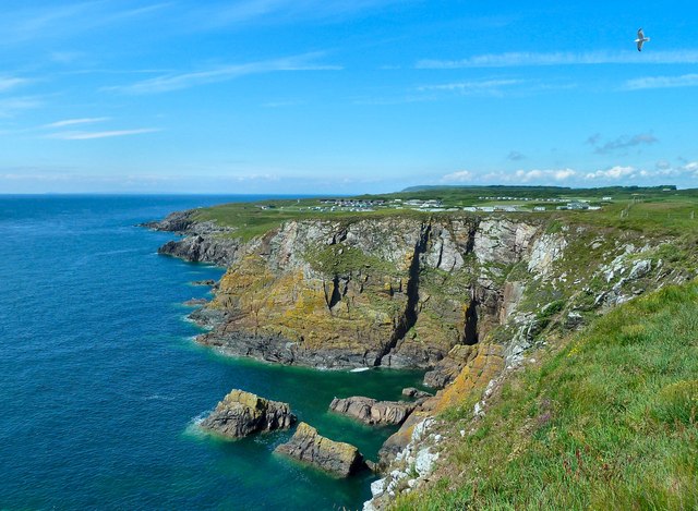
Rising approximately 50 meters above sea level, Steinhead Point showcases a rugged and dramatic landscape, characterized by steep cliffs and rocky outcrops. The headland is composed mainly of sandstone, which has been shaped over centuries by the relentless forces of wind and waves. These geological formations create a stunning backdrop for visitors, with their unique colors and textures.
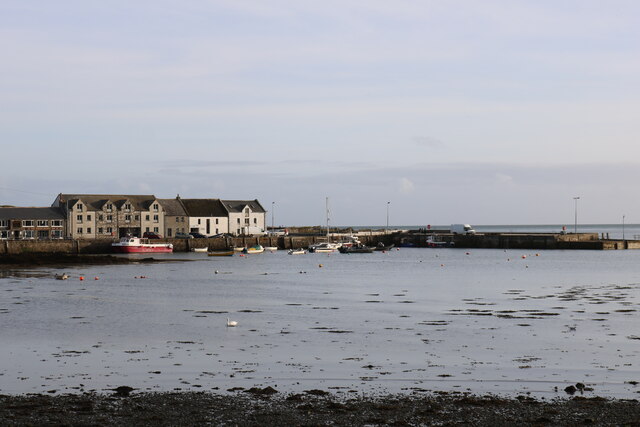
The point serves as an important landmark for maritime navigation, guiding ships and boats along the coastline. Its strategic position also grants visitors a panoramic vista of the surrounding area, including the nearby towns of Port William and Monreith. On clear days, one can even catch glimpses of the Isle of Man in the distance.
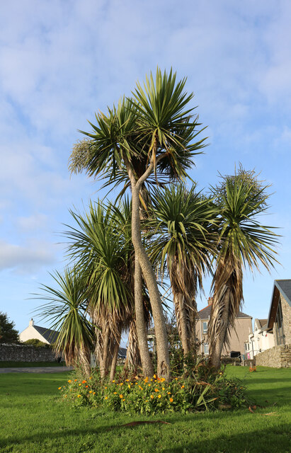
Steinhead Point is home to a diverse range of flora and fauna, making it an ideal spot for nature enthusiasts. The headland supports a variety of habitats, including grassy meadows, heathlands, and coastal scrub. This diverse ecosystem attracts numerous species of birds, such as gulls, cormorants, and fulmars, providing ample opportunities for birdwatching.
In addition to its natural beauty, Steinhead Point also holds historical significance. The remains of Iron Age forts can be found scattered across the headland, offering a glimpse into the area's ancient past. These archaeological sites serve as a reminder of the long-standing human presence in Wigtownshire.
If you have any feedback on the listing, please let us know in the comments section below.
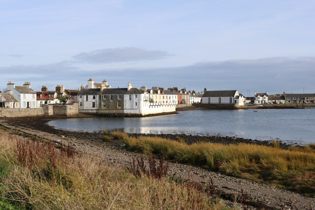
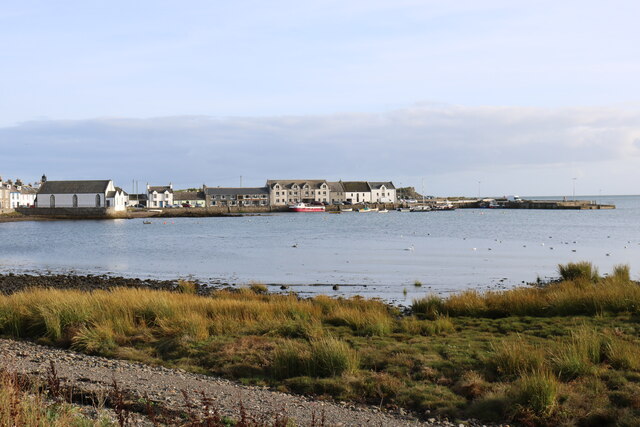
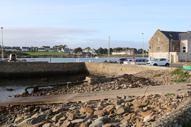
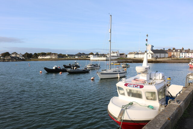
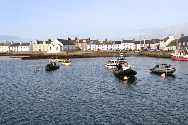
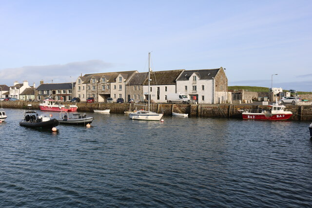
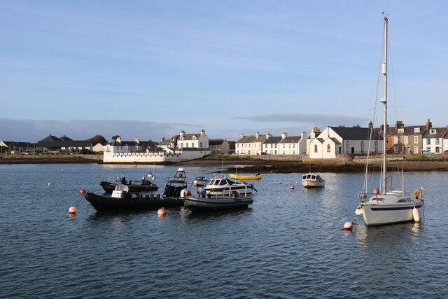
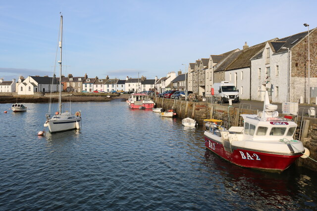
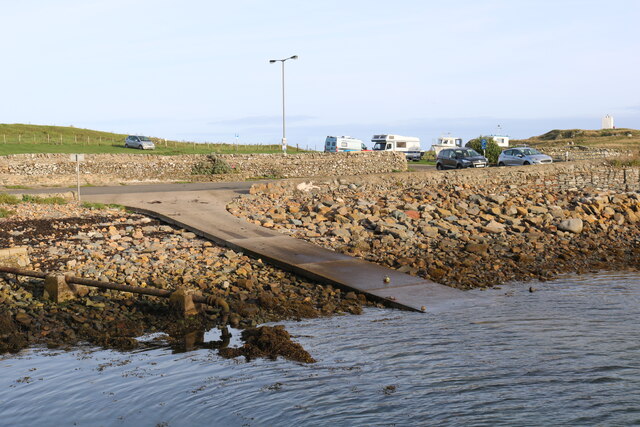
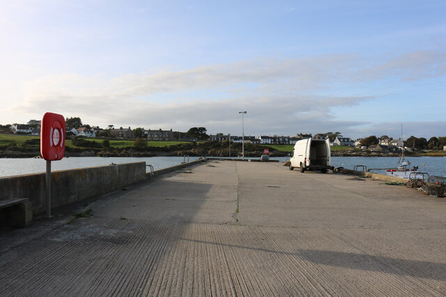
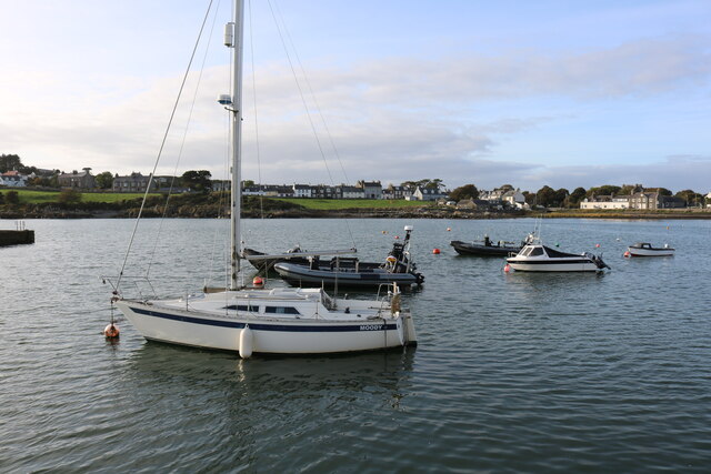
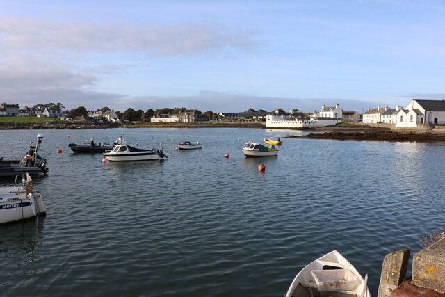
Steinhead Point Images
Images are sourced within 2km of 54.707297/-4.350825 or Grid Reference NX4837. Thanks to Geograph Open Source API. All images are credited.
Steinhead Point is located at Grid Ref: NX4837 (Lat: 54.707297, Lng: -4.350825)
Unitary Authority: Dumfries and Galloway
Police Authority: Dumfries and Galloway
What 3 Words
///canines.mailboxes.educated. Near Whithorn, Dumfries & Galloway
Nearby Locations
Related Wikis

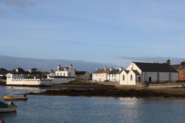
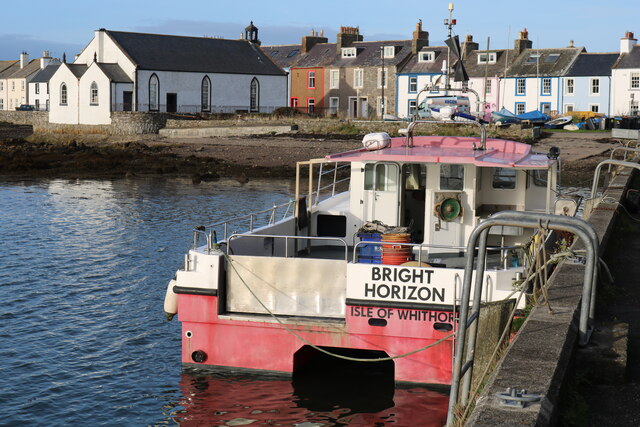
Isle of Whithorn
Isle of Whithorn (Port Rosnait in Gaelic) is one of the most southerly villages and seaports in Scotland, lying on the coast north east of Burrow Head...
Burrow Head
Burrow Head is a headland located approximately two miles south-west of Isle of Whithorn, Wigtownshire, Scotland, and is the second southernmost point...

Candida Casa
Candida Casa was the name given to the church established by St Ninian in Whithorn, Galloway, southern Scotland, in the mid fifth century AD. The name...
Whithorn
Whithorn (Scots pronunciation: [ˈʍɪthorn], Taigh Mhàrtainn in modern Gaelic), is a royal burgh in the historic county of Wigtownshire in Dumfries and Galloway...
Nearby Amenities
Located within 500m of 54.707297,-4.350825Have you been to Steinhead Point?
Leave your review of Steinhead Point below (or comments, questions and feedback).