White Hill
Hill, Mountain in Kirkcudbrightshire
Scotland
White Hill
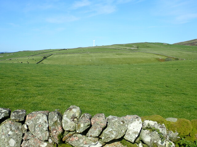
White Hill is a prominent hill located in the county of Kirkcudbrightshire, Scotland. Situated in the southern part of the region, it forms part of the Galloway Hills range. With an elevation of approximately 562 meters (1,844 feet), it stands as one of the highest peaks in the area.
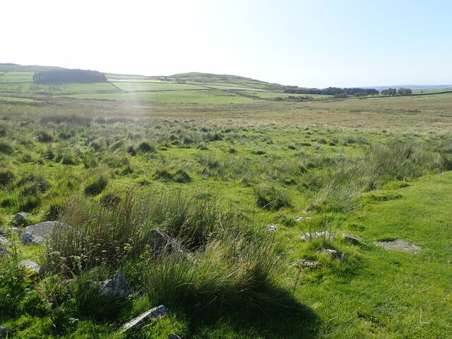
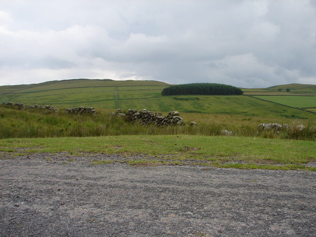
The hill boasts a distinctive appearance, characterized by its smooth and rounded slopes, which are covered in heather and grass. Its name, "White Hill," is derived from the light-colored rocks that make up its composition, giving it a unique and striking appearance.
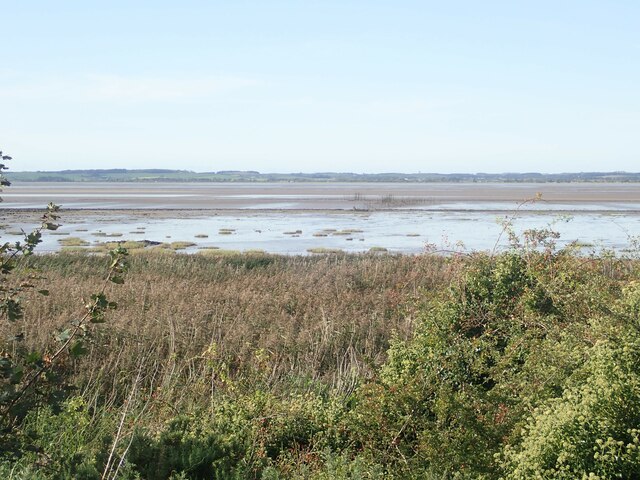
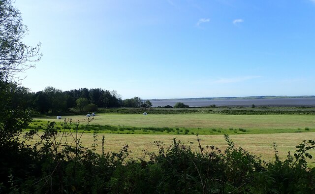
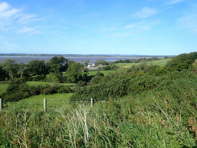
White Hill is a popular destination for outdoor enthusiasts, offering breathtaking panoramic views of the surrounding landscape. From its summit, visitors can marvel at the rolling hills, lush valleys, and charming villages that dot the Kirkcudbrightshire countryside. On clear days, it is even possible to catch glimpses of the Irish Sea in the distance.
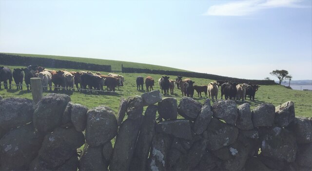
The hill is also home to a diverse range of flora and fauna, including various species of birds, mammals, and plants. It serves as an important habitat for wildlife, contributing to the overall biodiversity of the region.
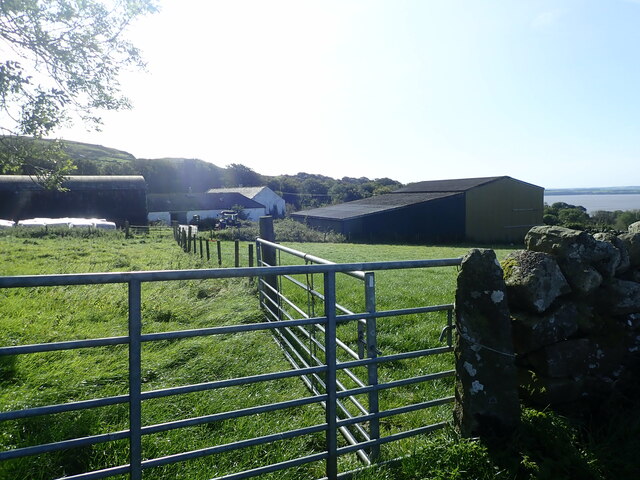
Access to White Hill is typically gained via footpaths and trails that wind their way up the slopes, providing an opportunity for hikers and nature lovers to explore its beauty. Its relatively moderate difficulty level makes it accessible to a wide range of individuals, from experienced climbers to beginners seeking an outdoor adventure.
Overall, White Hill in Kirkcudbrightshire offers a captivating blend of natural beauty, stunning vistas, and recreational opportunities, making it a must-visit destination for those exploring the Scottish countryside.
If you have any feedback on the listing, please let us know in the comments section below.
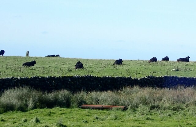
White Hill Images
Images are sourced within 2km of 54.863172/-4.3570221 or Grid Reference NX4854. Thanks to Geograph Open Source API. All images are credited.

White Hill is located at Grid Ref: NX4854 (Lat: 54.863172, Lng: -4.3570221)
Unitary Authority: Dumfries and Galloway
Police Authority: Dumfries and Galloway
What 3 Words
///rift.anode.squeaking. Near Newton Stewart, Dumfries & Galloway
Nearby Locations
Related Wikis

River Bladnoch
The Bladnoch is a river in Wigtownshire in the Machars of Galloway in southwest Scotland. One of the earliest descriptions of it is given by Sir Andrew...

Cairnholy
Cairnholy (or Cairn Holy) is the site of two Neolithic chambered tombs of the Clyde type. It is located 4 kilometres east of the village of Carsluith in...

River Cree
The River Cree is a river in Dumfries and Galloway, Scotland which runs through Newton Stewart and into the Solway Firth. It forms part of the boundary...
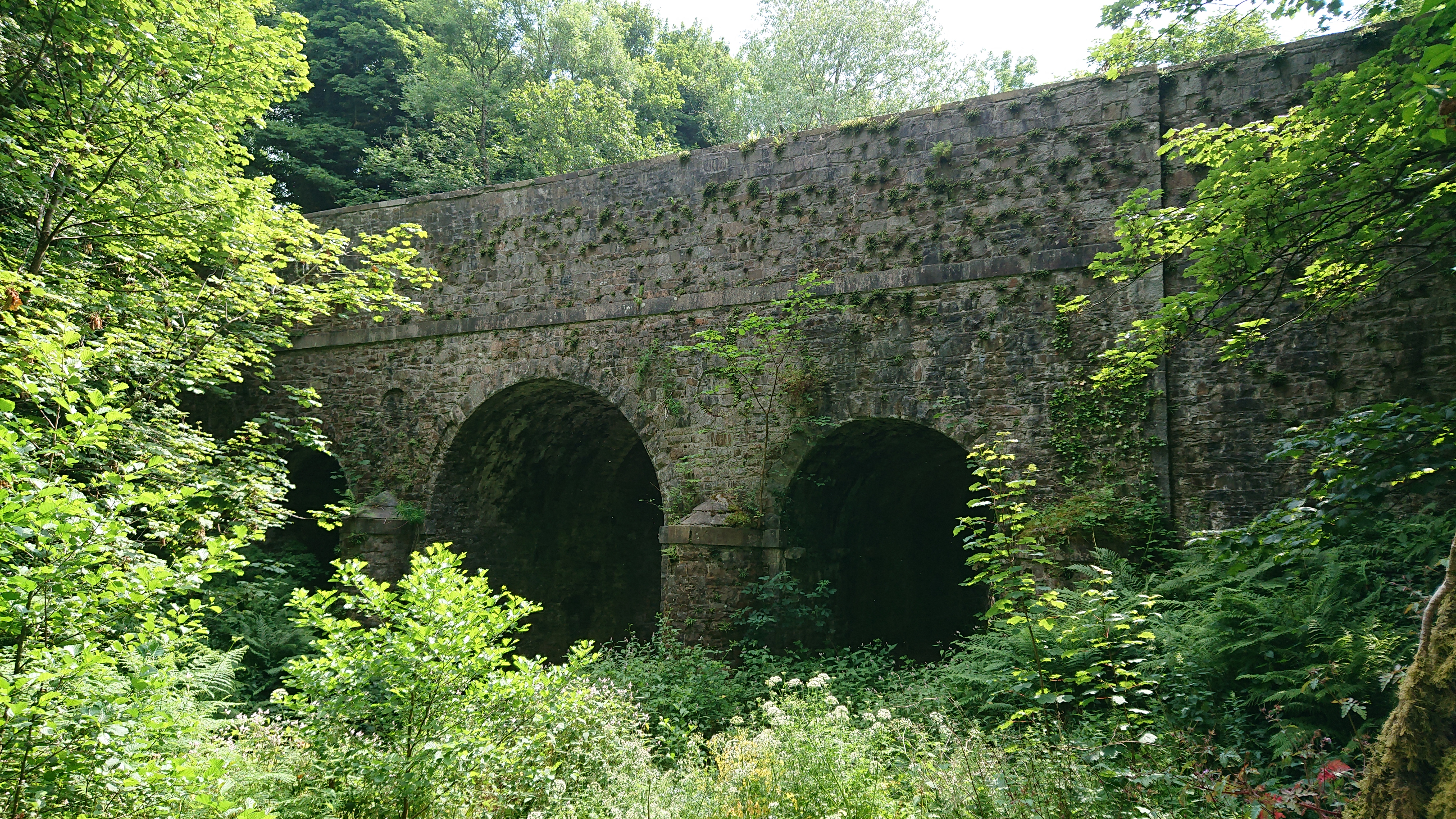
Kirkdale Bridge
Kirkdale Bridge is a bridge over the Kirkdale Burn in the parish of Kirkmabreck, between Gatehouse of Fleet and Creetown in Dumfries and Galloway, Scotland...

Ravenshall Wood
Ravenshall Wood is a Site of Special Scientific Interest, located 5 kilometres east of Creetown in the historic county of Kirkcudbrightshire, Dumfries...

Barholm Castle
Barholm Castle is a tower house located 5 miles (8.0 km) south-west of Gatehouse of Fleet, in Kirkcudbrightshire, Galloway, Scotland. The tower dates back...
Creetown F.C.
Creetown Football Club are a football club based in Creetown in the Dumfries and Galloway area of Scotland. Formed in 1905 as Creetown Rifle Volunteers...

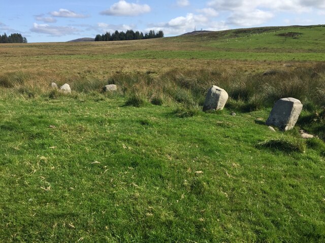
Glenquicken stone circle
Glenquicken stone circle or Billy Diamond's Bridge stone circle (grid reference NX50965821) is an oval stone circle with a central pillar, two miles east...
Related Videos
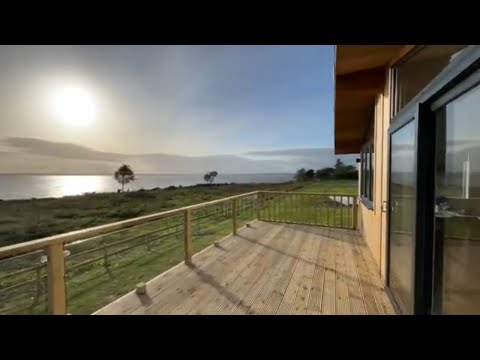
Kirkdale Estate Lodges, Carsluith Castle, Dumfries and Galloway, coastal lodges for sale
Outstanding new bespoke cedar holiday lodges for sale. Situated on the coast of beautiful Galloway with spectacular sea views ...
Nearby Amenities
Located within 500m of 54.863172,-4.3570221Have you been to White Hill?
Leave your review of White Hill below (or comments, questions and feedback).