Carsington
Settlement in Derbyshire Derbyshire Dales
England
Carsington
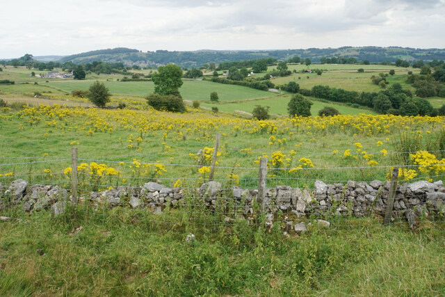
Carsington is a small village located in the Derbyshire Dales district of Derbyshire, England. Situated on the eastern edge of the Peak District National Park, it is surrounded by picturesque countryside and offers stunning views of the nearby Carsington Water reservoir. The village is approximately 8 miles northwest of the market town of Ashbourne and 15 miles southwest of the city of Derby.
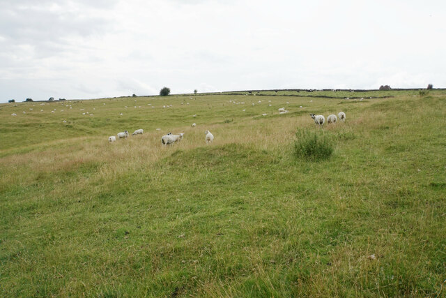
Carsington is renowned for its outdoor activities, particularly water sports. Carsington Water, the main attraction in the area, is a large reservoir that offers sailing, windsurfing, kayaking, and fishing opportunities. The reservoir is also a popular spot for birdwatching, with a variety of waterfowl and other bird species frequenting the area.
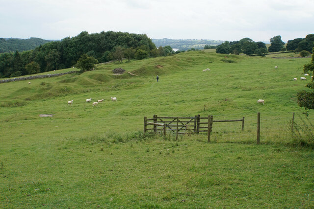
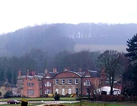
The village itself is small and quiet, with a charming mix of traditional stone cottages and newer housing developments. It has a close-knit community and a few amenities, including a primary school, a village hall, and a local pub serving traditional English food and drinks. The surrounding area offers several walking and cycling trails, allowing visitors to explore the beautiful countryside and take in the stunning views of the Peak District.
Overall, Carsington is a peaceful village that attracts outdoor enthusiasts and nature lovers with its scenic location and range of recreational activities. It offers a perfect blend of rural charm and modern amenities, making it an ideal destination for a relaxing getaway in the heart of Derbyshire.
If you have any feedback on the listing, please let us know in the comments section below.
Carsington Images
Images are sourced within 2km of 53.077294/-1.625782 or Grid Reference SK2553. Thanks to Geograph Open Source API. All images are credited.


Carsington is located at Grid Ref: SK2553 (Lat: 53.077294, Lng: -1.625782)
Administrative County: Derbyshire
District: Derbyshire Dales
Police Authority: Derbyshire
What 3 Words
///potential.solar.dodges. Near Wirksworth, Derbyshire
Nearby Locations
Related Wikis

St Margaret's Church, Carsington
St Margaret's Church, Carsington, is a Grade II* listed parish church in the Church of England: 122 in Carsington, Derbyshire. == History == The church...

Carsington
Carsington is a village in the middle of the Derbyshire Dales, England; it adjoins the hamlet of Hopton, and is close to the historic town of Wirksworth...
Hopton Hall
Hopton Hall is an 18th-century country house at Hopton, near Wirksworth, Derbyshire. It is a Grade II listed building. The Manor of Hopton, anciently the...
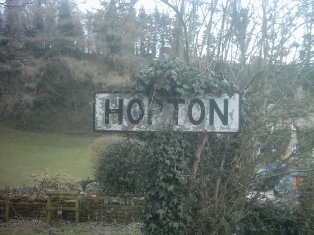
Hopton, Derbyshire
Hopton is a small village adjacent to the village of Carsington and two miles from the market town of Wirksworth in the Peak District. Evidence of humans...
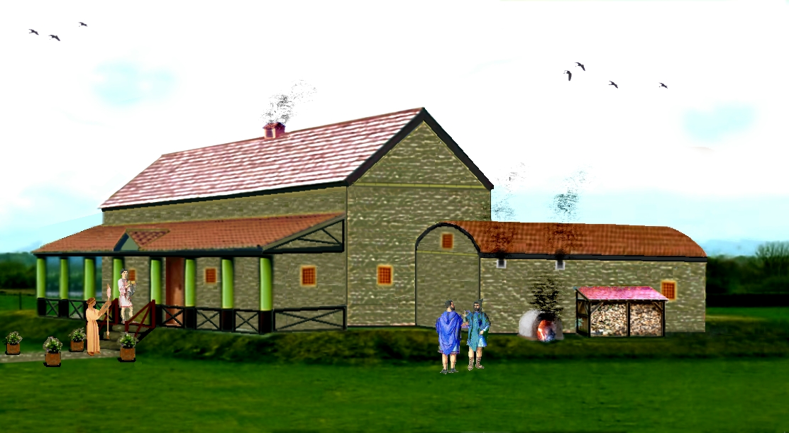
Carsington Roman Villa
The Carsington Roman Villa is a Roman villa at Scow Brook, Carsington near Wirksworth, Derbyshire, England. The site of the villa is currently submerged...

Godfreyhole
Godfreyhole is a hamlet in Derbyshire, England. It is located at the junction of the B5035 and West End roads, 2 miles (3.2 km) west of Wirksworth, the...

Callow, Derbyshire
Callow is a village and a civil parish in the Derbyshire Dales District, in the English county of Derbyshire. At the 2011 Census the population of the...

Hopton Tunnel
Hopton Tunnel is a former railway tunnel in Hopton, Derbyshire. Located on the former Cromford and High Peak Railway. The tunnel was closed along with...
Nearby Amenities
Located within 500m of 53.077294,-1.625782Have you been to Carsington?
Leave your review of Carsington below (or comments, questions and feedback).