Doglow Wood
Wood, Forest in Derbyshire Derbyshire Dales
England
Doglow Wood
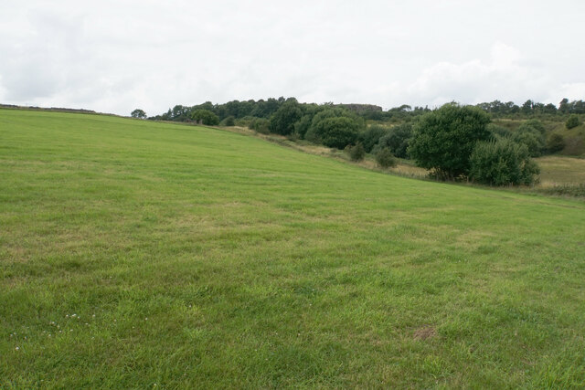
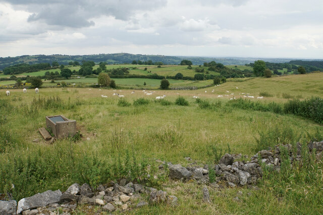
Doglow Wood is a picturesque woodland located in the county of Derbyshire, England. Situated near the village of Hartington, this enchanting forest spans an area of approximately 50 acres and is nestled within the stunning Peak District National Park.
The wood is characterized by its diverse range of tree species, including oak, ash, beech, and birch, which create a rich and vibrant canopy overhead. The forest floor is adorned with a variety of wildflowers, such as bluebells and primroses, adding bursts of color to the landscape throughout the year.
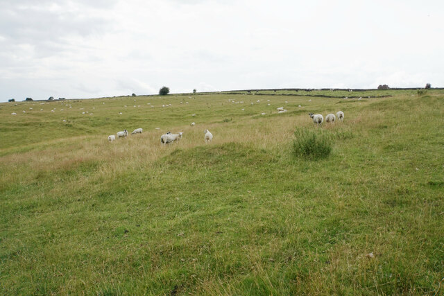
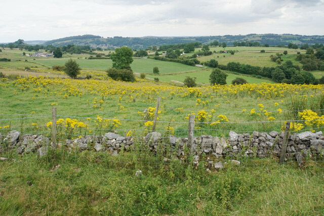
Tranquility and serenity are the hallmarks of Doglow Wood, making it a popular destination for nature lovers and outdoor enthusiasts. The woodland offers a network of well-maintained footpaths, allowing visitors to explore its hidden gems, including a small stream that meanders through the trees, adding to the scenic beauty of the area.
Numerous species of wildlife call Doglow Wood their home, making it a haven for nature enthusiasts. Birdwatchers can spot a range of feathered friends, including woodpeckers, owls, and various songbirds. Squirrels can often be seen scurrying up and down the trees, while foxes and deer occasionally make appearances in the early morning or evening hours.
Doglow Wood also offers breathtaking views of the surrounding countryside, with rolling hills and meadows visible from certain vantage points. Its close proximity to the village of Hartington means that visitors can easily access amenities such as cafes, pubs, and shops, making it an ideal spot for a day trip or a longer exploration of the area.
With its natural beauty, diverse flora and fauna, and tranquil ambiance, Doglow Wood is a true gem in the heart of Derbyshire, attracting visitors from near and far who seek solace in its enchanting surroundings.
If you have any feedback on the listing, please let us know in the comments section below.
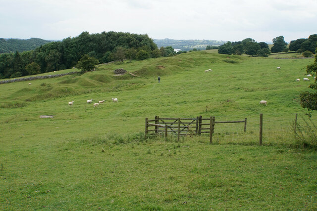
Doglow Wood Images
Images are sourced within 2km of 53.079214/-1.6219139 or Grid Reference SK2553. Thanks to Geograph Open Source API. All images are credited.


Doglow Wood is located at Grid Ref: SK2553 (Lat: 53.079214, Lng: -1.6219139)
Administrative County: Derbyshire
District: Derbyshire Dales
Police Authority: Derbyshire
What 3 Words
///host.bakers.relished. Near Wirksworth, Derbyshire
Nearby Locations
Related Wikis

St Margaret's Church, Carsington
St Margaret's Church, Carsington, is a Grade II* listed parish church in the Church of England: 122 in Carsington, Derbyshire. == History == The church...

Carsington
Carsington is a village in the middle of the Derbyshire Dales, England; it adjoins the hamlet of Hopton, and is close to the historic town of Wirksworth...
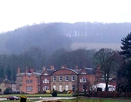
Hopton Hall
Hopton Hall is an 18th-century country house at Hopton, near Wirksworth, Derbyshire. It is a Grade II listed building. The Manor of Hopton, anciently the...
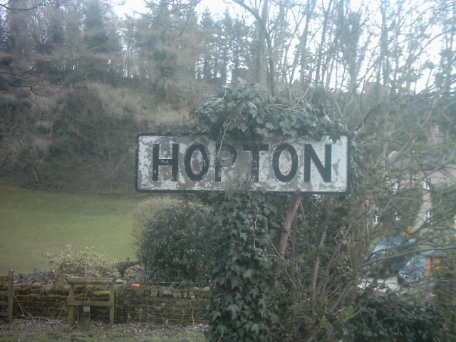
Hopton, Derbyshire
Hopton is a small village adjacent to the village of Carsington and two miles from the market town of Wirksworth in the Peak District. Evidence of humans...

Godfreyhole
Godfreyhole is a hamlet in Derbyshire, England. It is located at the junction of the B5035 and West End roads, 2 miles (3.2 km) west of Wirksworth, the...

Hopton Tunnel
Hopton Tunnel is a former railway tunnel in Hopton, Derbyshire. Located on the former Cromford and High Peak Railway. The tunnel was closed along with...

Callow, Derbyshire
Callow is a village and a civil parish in the Derbyshire Dales District, in the English county of Derbyshire. At the 2011 Census the population of the...
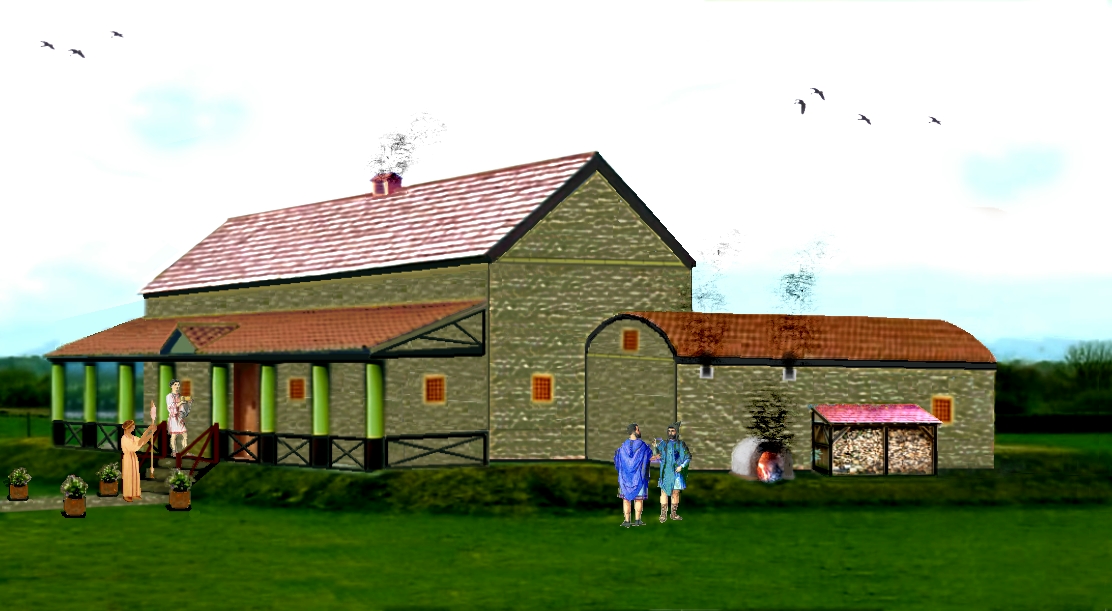
Carsington Roman Villa
The Carsington Roman Villa is a Roman villa at Scow Brook, Carsington near Wirksworth, Derbyshire, England. The site of the villa is currently submerged...
Nearby Amenities
Located within 500m of 53.079214,-1.6219139Have you been to Doglow Wood?
Leave your review of Doglow Wood below (or comments, questions and feedback).