Carsington Wood
Wood, Forest in Derbyshire Derbyshire Dales
England
Carsington Wood
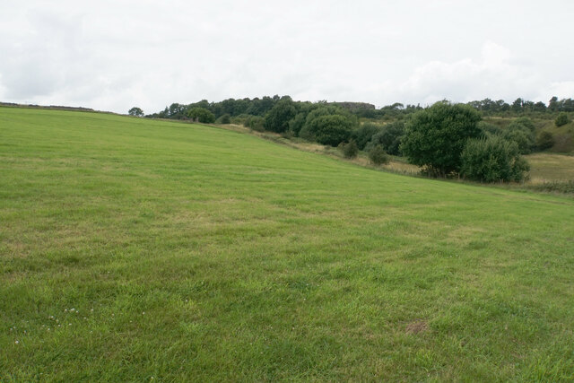
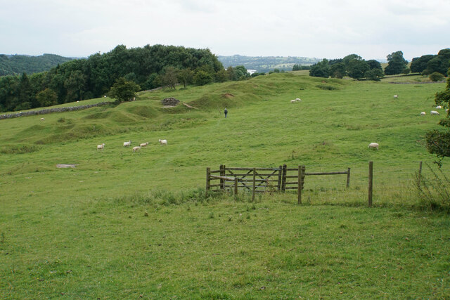
Carsington Wood is a stunning forest located in Derbyshire, England. Covering an area of approximately 100 hectares, it is a popular destination for nature enthusiasts and outdoor lovers alike. The wood is situated near the picturesque Carsington Water reservoir, offering visitors a unique combination of woodland and water views.
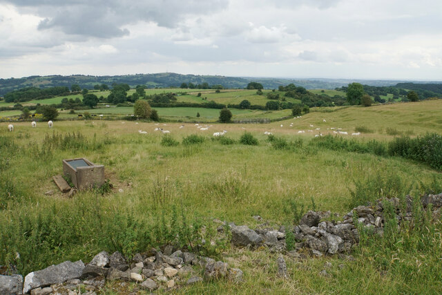
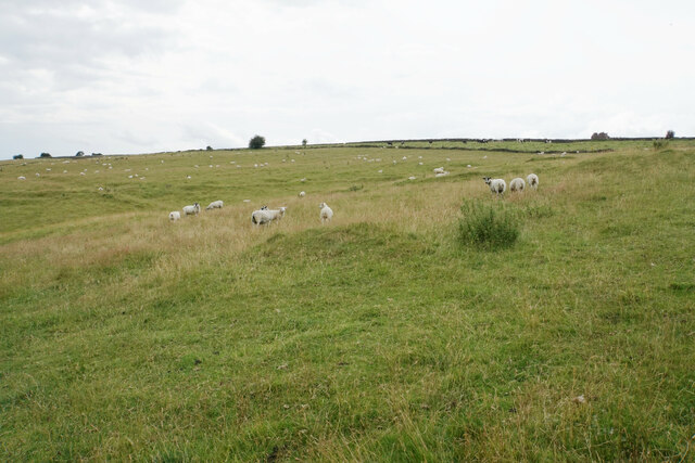
The forest is predominantly made up of deciduous trees, including oak, ash, and birch, creating a diverse and vibrant ecosystem. It is home to a wide range of flora and fauna, making it an ideal spot for wildlife spotting and birdwatching. Species such as red deer, badgers, and various bird species can often be seen within the wood.
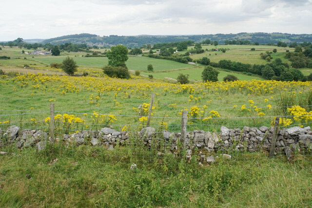
Carsington Wood boasts a network of well-maintained walking trails, allowing visitors to explore its beauty at their own pace. These trails cater to all levels of fitness and offer a variety of routes, from gentle strolls to more challenging hikes. Along the way, walkers are treated to breathtaking views of the surrounding countryside and the reservoir.
In addition to its natural beauty, Carsington Wood also offers recreational activities for visitors. There are designated picnic areas, where families can enjoy a leisurely lunch amidst the tranquil surroundings. The forest also hosts educational events and workshops, providing an opportunity for visitors to learn more about the local flora and fauna.
Carsington Wood is a true hidden gem in the heart of Derbyshire, offering a peaceful retreat from the hustle and bustle of everyday life. Whether it's a leisurely walk, wildlife spotting, or simply enjoying the beauty of nature, this enchanting forest has something for everyone.
If you have any feedback on the listing, please let us know in the comments section below.
Carsington Wood Images
Images are sourced within 2km of 53.078004/-1.6229098 or Grid Reference SK2553. Thanks to Geograph Open Source API. All images are credited.


Carsington Wood is located at Grid Ref: SK2553 (Lat: 53.078004, Lng: -1.6229098)
Administrative County: Derbyshire
District: Derbyshire Dales
Police Authority: Derbyshire
What 3 Words
///tumble.denoting.cargo. Near Wirksworth, Derbyshire
Nearby Locations
Related Wikis

St Margaret's Church, Carsington
St Margaret's Church, Carsington, is a Grade II* listed parish church in the Church of England: 122 in Carsington, Derbyshire. == History == The church...

Carsington
Carsington is a village in the middle of the Derbyshire Dales, England; it adjoins the hamlet of Hopton, and is close to the historic town of Wirksworth...
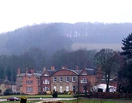
Hopton Hall
Hopton Hall is an 18th-century country house at Hopton, near Wirksworth, Derbyshire. It is a Grade II listed building. The Manor of Hopton, anciently the...
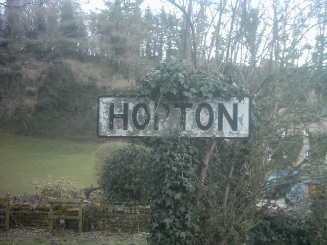
Hopton, Derbyshire
Hopton is a small village adjacent to the village of Carsington and two miles from the market town of Wirksworth in the Peak District. Evidence of humans...

Godfreyhole
Godfreyhole is a hamlet in Derbyshire, England. It is located at the junction of the B5035 and West End roads, 2 miles (3.2 km) west of Wirksworth, the...

Hopton Tunnel
Hopton Tunnel is a former railway tunnel in Hopton, Derbyshire. Located on the former Cromford and High Peak Railway. The tunnel was closed along with...

Callow, Derbyshire
Callow is a village and a civil parish in the Derbyshire Dales District, in the English county of Derbyshire. At the 2011 Census the population of the...
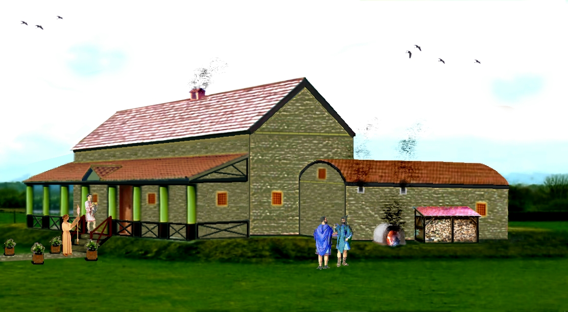
Carsington Roman Villa
The Carsington Roman Villa is a Roman villa at Scow Brook, Carsington near Wirksworth, Derbyshire, England. The site of the villa is currently submerged...
Nearby Amenities
Located within 500m of 53.078004,-1.6229098Have you been to Carsington Wood?
Leave your review of Carsington Wood below (or comments, questions and feedback).