Parsons Wood
Wood, Forest in Warwickshire North Warwickshire
England
Parsons Wood
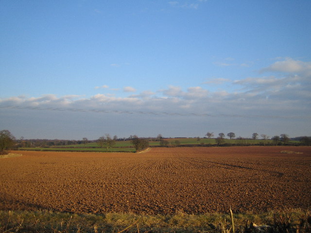
Parsons Wood is a beautiful forest located in the county of Warwickshire, England. Covering an area of approximately 100 acres, it is a popular destination for nature enthusiasts and those seeking a peaceful retreat from the hustle and bustle of city life.
The woodland is characterized by its diverse ecosystem, consisting of a mixture of broadleaf and coniferous trees. Towering oak and beech trees dominate the forest, providing a dense canopy that filters sunlight and creates a cool, shaded environment underneath. The forest floor is covered in a rich carpet of ferns, wildflowers, and moss, adding to the enchanting atmosphere.
Parsons Wood is home to a wide variety of wildlife, making it a haven for nature lovers. Visitors may be fortunate enough to spot deer, foxes, badgers, and a plethora of bird species, including woodpeckers, owls, and songbirds. The forest is also inhabited by smaller creatures such as squirrels, rabbits, and hedgehogs.
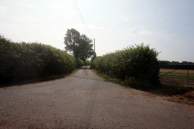
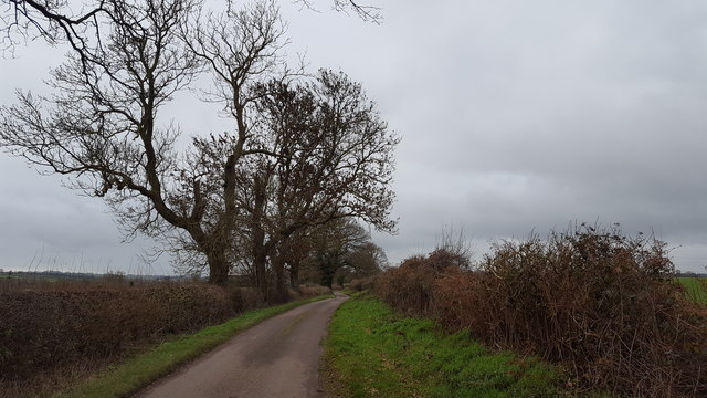
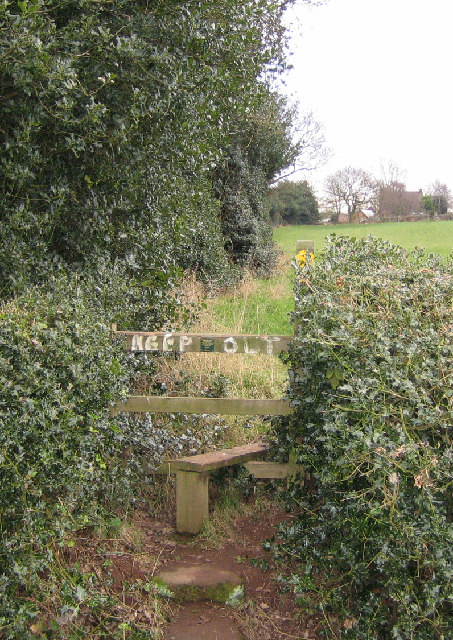
The wood offers visitors numerous walking trails, allowing them to explore its beauty at their own pace. These paths wind through the forest, taking visitors on a journey through its various landscapes and offering breathtaking views along the way. Some trails also lead to a picturesque lake, where visitors can relax and enjoy the tranquil surroundings.
Overall, Parsons Wood in Warwickshire is a captivating forest that offers a unique and immersive experience in nature. Its abundance of flora and fauna, coupled with its serene atmosphere, make it a must-visit destination for anyone seeking solace in the natural world.
If you have any feedback on the listing, please let us know in the comments section below.
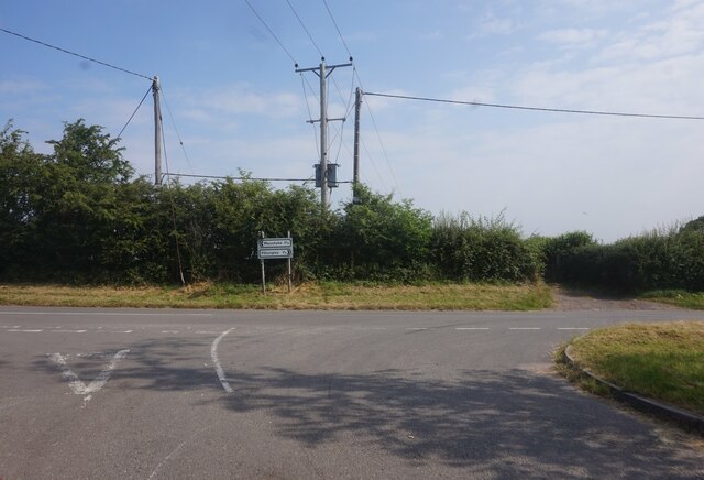
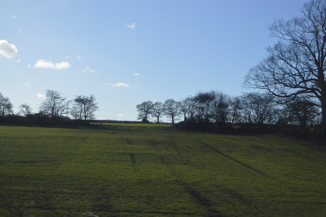
Parsons Wood Images
Images are sourced within 2km of 52.490568/-1.6269637 or Grid Reference SP2588. Thanks to Geograph Open Source API. All images are credited.


Parsons Wood is located at Grid Ref: SP2588 (Lat: 52.490568, Lng: -1.6269637)
Administrative County: Warwickshire
District: North Warwickshire
Police Authority: Warwickshire
What 3 Words
///pacifist.waged.milk. Near Meriden, West Midlands
Nearby Locations
Related Wikis
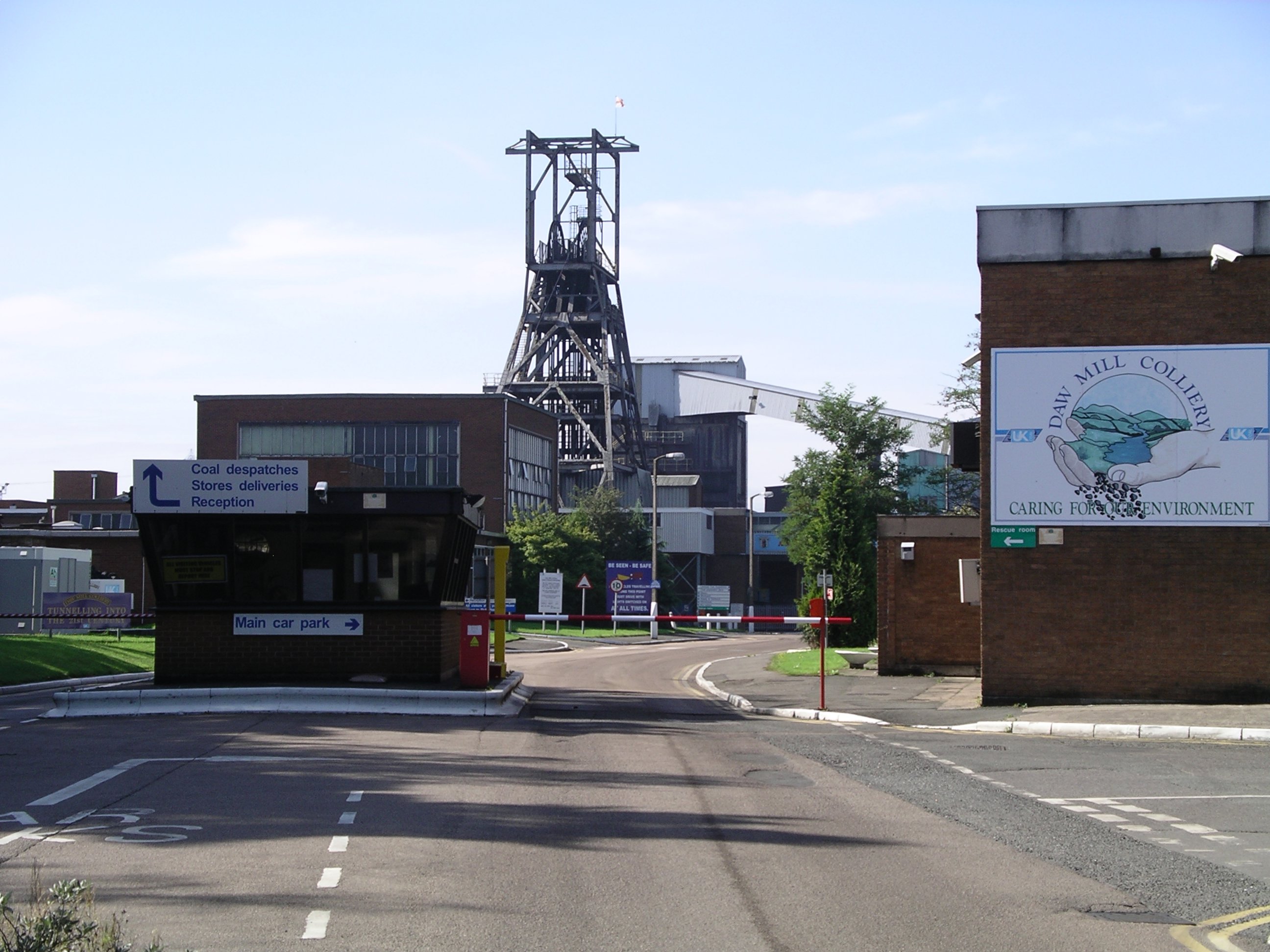
Daw Mill
Daw Mill was a coal mine located near the village of Arley, near Nuneaton, in the English county of Warwickshire. The mine was Britain's biggest coal producer...

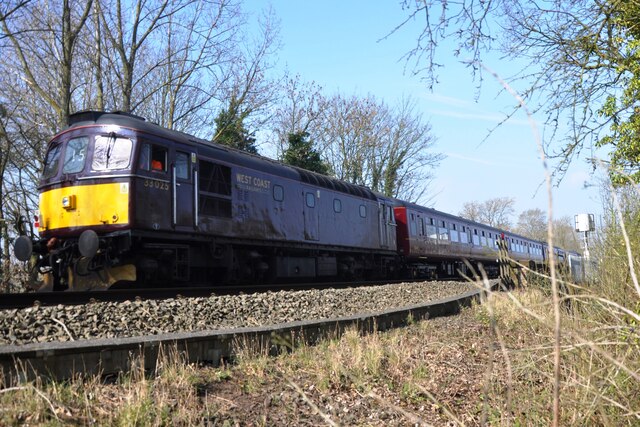
Arley and Fillongley railway station
Arley and Fillongley railway station was a station on the Midland Railway, which operated in the Midland county of Warwickshire, in England. == History... ==

Maxstoke Priory
Maxstoke Priory was an Augustinian priory in Warwickshire, England. The substantial remains are on Historic England's Heritage at Risk Register due to...
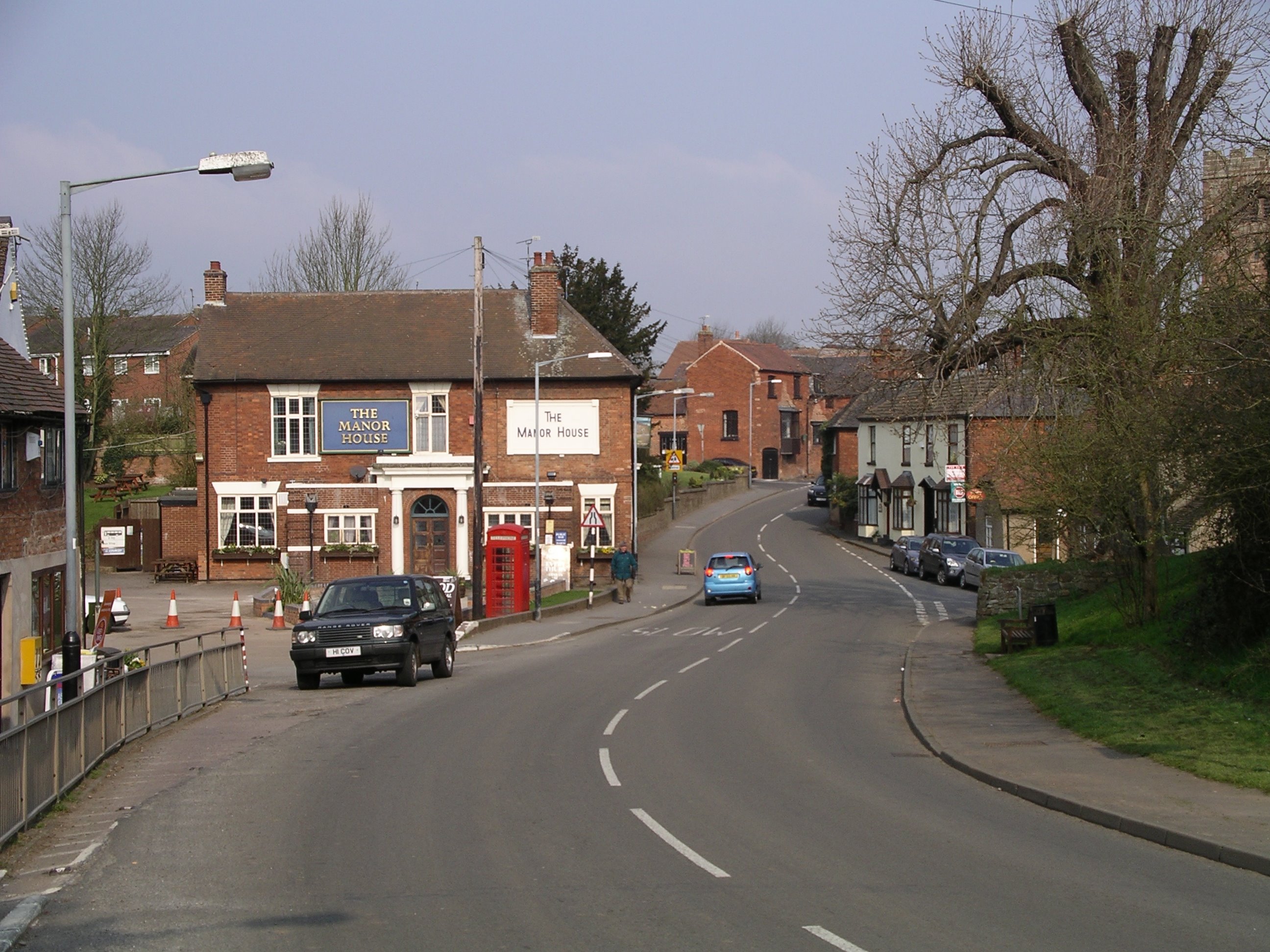
Fillongley
Fillongley, listed as Fillungeleye in 1135, is a village and civil parish in the North Warwickshire district of Warwickshire in England. The village is...

Ballard's Green
Ballard's Green is a village in Warwickshire, England. Population details may be found under Over Whitacre.
Fillongley Castle
Fillongley Castle was a motte and bailey castle and later a fortified manor house in Fillongley in Warwickshire, England. Today, only earthworks and partial...

Over Whitacre
Over Whitacre is a village containing the hamlets of Botts Green, Furnace End and Monwode Lea in North Warwickshire, Warwickshire, England. The population...
Maxstoke
Maxstoke is a hamlet and civil parish in the North Warwickshire district of the county of Warwickshire, England. It is situated approximately 2.5 miles...
Nearby Amenities
Located within 500m of 52.490568,-1.6269637Have you been to Parsons Wood?
Leave your review of Parsons Wood below (or comments, questions and feedback).