Carsphairn
Settlement in Kirkcudbrightshire
Scotland
Carsphairn
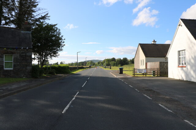
Carsphairn is a small village located in the historical county of Kirkcudbrightshire, in the southwest of Scotland. Situated within the Galloway Forest Park, it is surrounded by picturesque landscapes and offers a tranquil setting for residents and visitors alike.
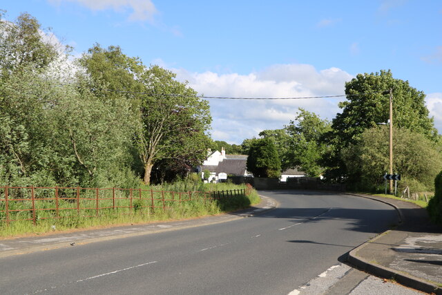
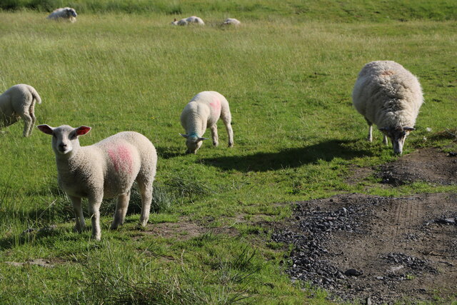
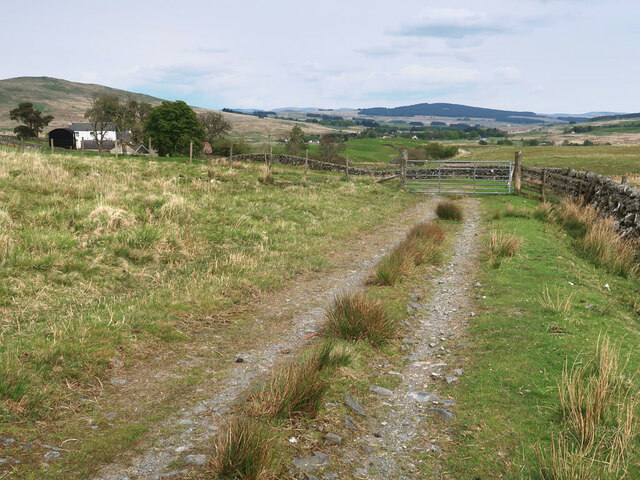
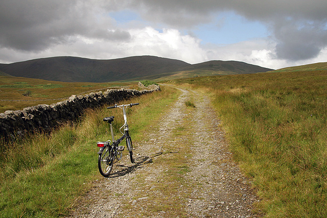
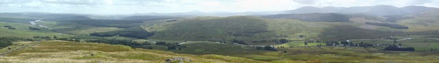
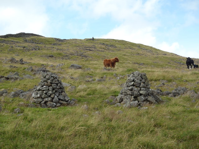
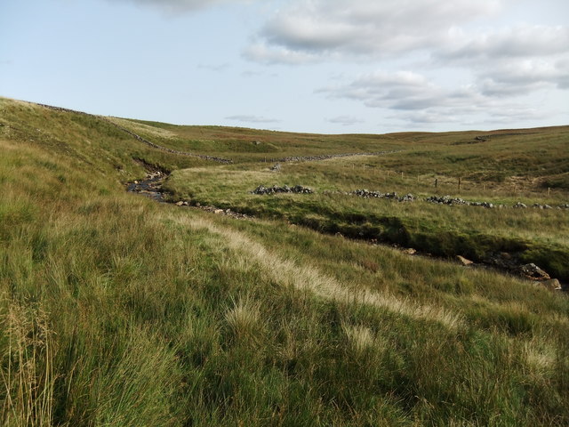
The village is nestled amidst rolling hills and lush greenery, making it an ideal destination for outdoor enthusiasts and nature lovers. Carsphairn is particularly renowned for its walking trails, which wind through the surrounding countryside, providing breathtaking views of the nearby Loch Riecawr and the Galloway Hills. The area is also home to a diverse range of wildlife, including red deer and various species of birds.
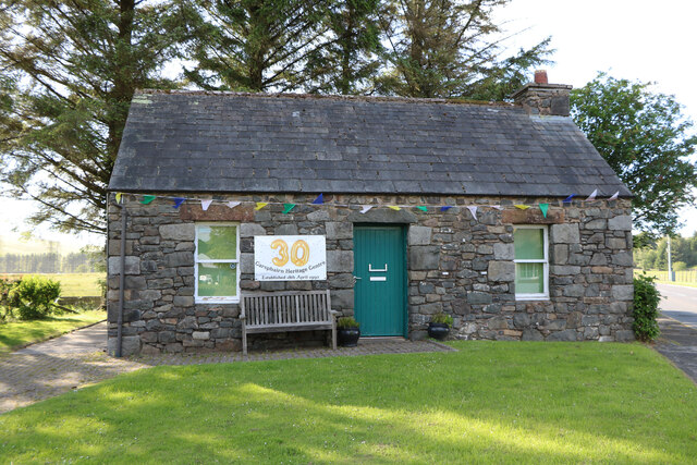
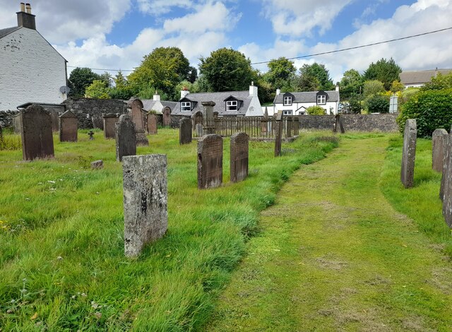
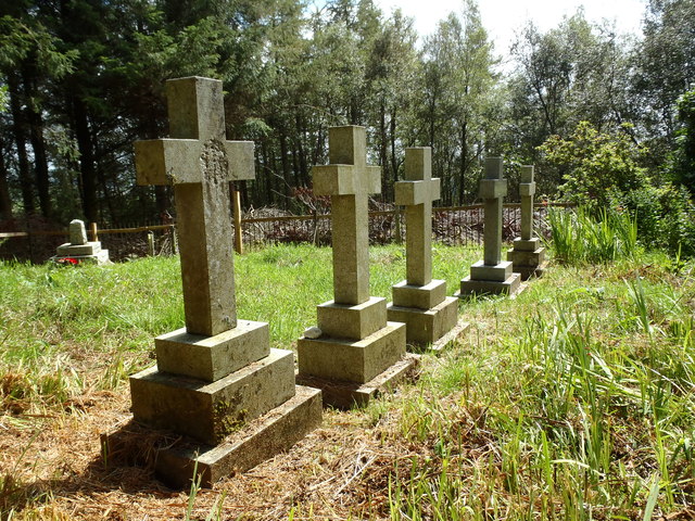
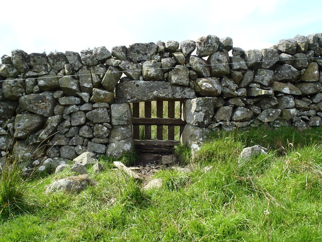
Despite its small size, Carsphairn boasts a rich history. The village's name is derived from the Gaelic words "cairn" and "spearn," meaning "cairn of the peak," reflecting its location at the foot of the Carsphairn hills. The village itself features traditional stone buildings and retains a charming, rural character.
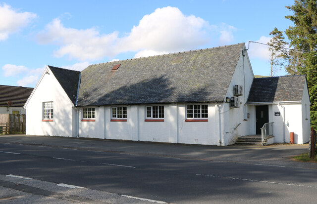
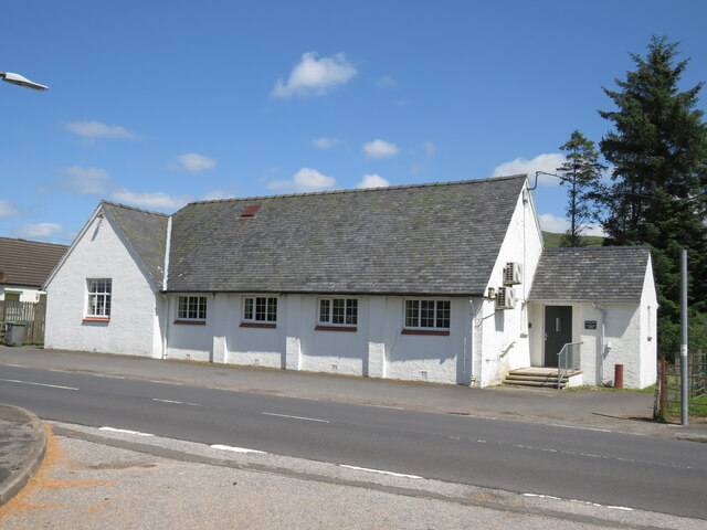
Amenities in Carsphairn include a local shop and tearoom, where visitors can sample delicious homemade treats and purchase local produce. Additionally, the village is home to a community hall, which hosts various events and gatherings throughout the year.
Overall, Carsphairn offers a peaceful retreat in the heart of the Scottish countryside. Its stunning natural surroundings, coupled with its sense of community and historical charm, make it a hidden gem within Kirkcudbrightshire.
If you have any feedback on the listing, please let us know in the comments section below.
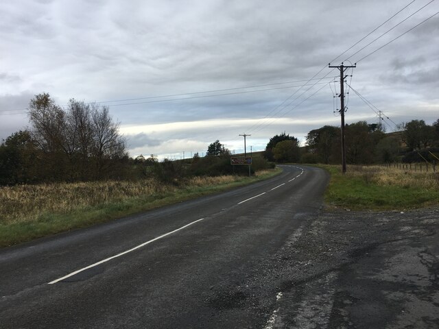
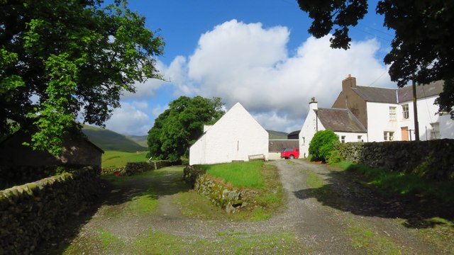
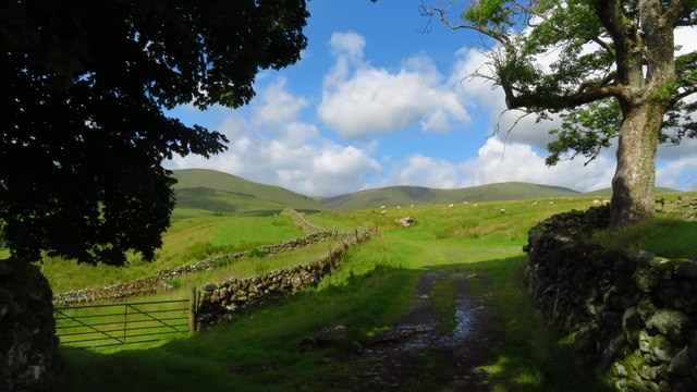
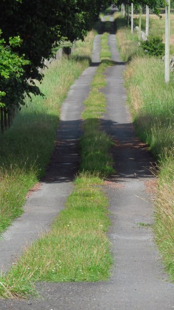
Carsphairn Images
Images are sourced within 2km of 55.213019/-4.262084 or Grid Reference NX5693. Thanks to Geograph Open Source API. All images are credited.
Carsphairn is located at Grid Ref: NX5693 (Lat: 55.213019, Lng: -4.262084)
Unitary Authority: Dumfries and Galloway
Police Authority: Dumfries and Galloway
What 3 Words
///louder.tolls.trinkets. Near Bellsbank, East Ayrshire
Nearby Locations
Related Wikis

Carsphairn
Carsphairn (Scottish Gaelic: An Còrsa Feàrna) is a village in the historic county of Kirkcudbrightshire in Dumfries and Galloway, Scotland. It is located...

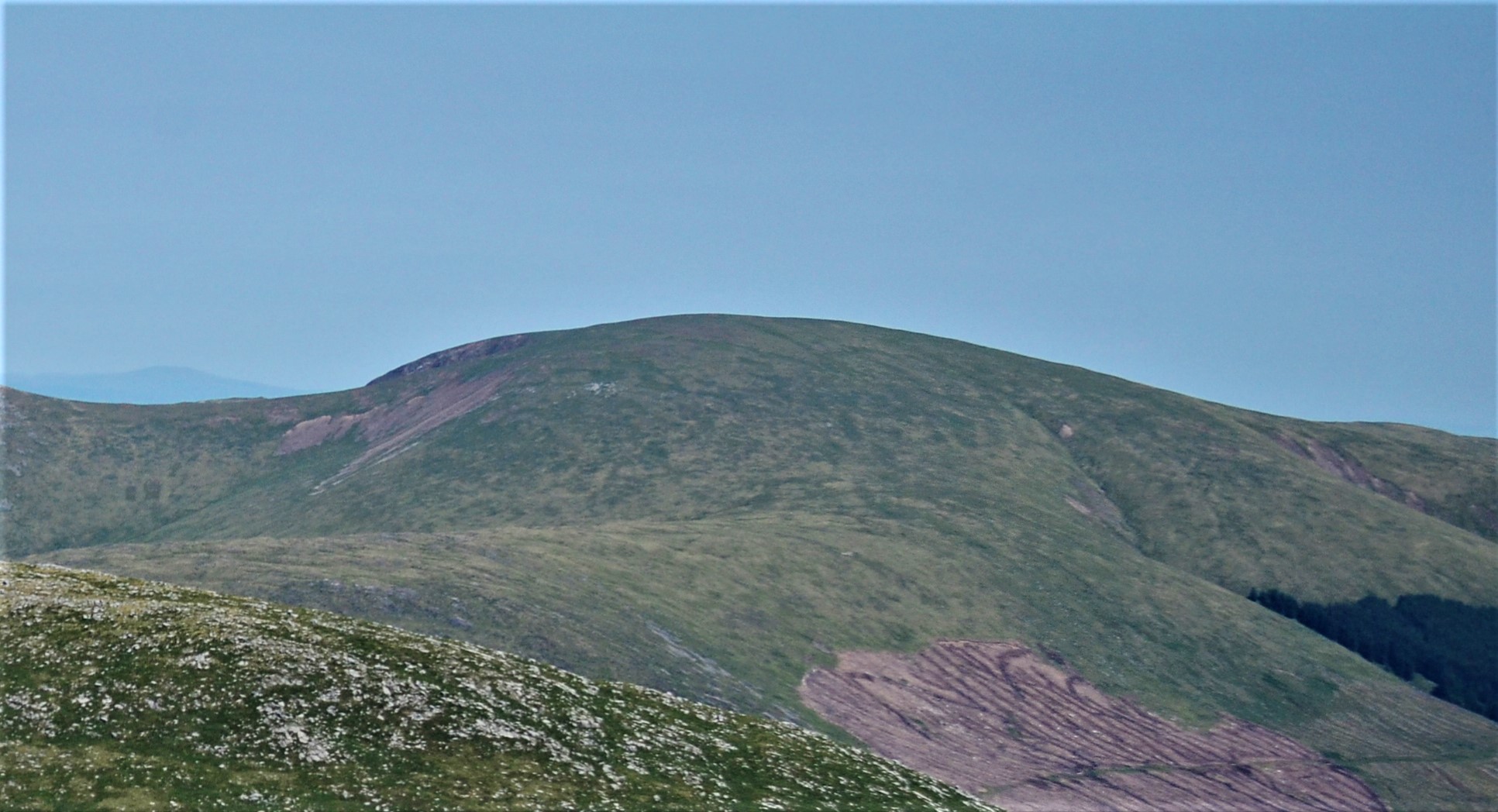
Cairnsmore of Carsphairn
Cairnsmore of Carsphairn is a hill in the Carsphairn and Scaur Hills range, part of the Southern Uplands of Scotland. An alternative name, rarely used...

Loch Doon Castle
Loch Doon Castle was a castle that was located on an island within Loch Doon, Scotland. The original site and the relocated remains are designated as scheduled...

Craigmalloch
Craigmalloch is a small settlement in East Ayrshire, Scotland. == External links == Scotland's places Royal Commission on Ancient and Historical Monuments...

Loch Doon
Loch Doon (Scottish Gaelic: Loch Dùin, pronounced [l̪ˠɔxˈt̪uːɲ]) is a freshwater loch in Carrick, Scotland. The River Doon issues from its northern end...

Waukers Linn
Waukers Linn is a waterfall on Polharrow Burn in Dumfries and Galloway, Scotland. == See also == Waterfalls of Scotland == References ==

Rhinns of Kells
The Rhinns of Kells are a range of hills in the Galloway Hills range, part of the Southern Uplands of Scotland. The most easterly of three parallel ridges...
Corserine
Corserine is a hill in the Rhinns of Kells, a sub-range of the Galloway Hills range, part of the Southern Uplands of Scotland. The highest point of the...
Related Videos

Ayr & District Rambling Club, Cairnsmore of Carsphairn, Carsphairn, May 21st 2023
Lucky to get away with only the summit in the low cloud and so we managed to get some reasonable views. All in all a really good ...
Shandie and a Boot
Who knew new walking boots could be so interesting to a sheep! This is Shandie giving them a good taste and chew.

Welcome to Carsphairn
A showcase of some of the beautiful views of Carsphairn.

Horse sitting like a Dog
Tya has always been a quirky character with lots of things she does that I've never experienced with any other horses. One of her ...
Nearby Amenities
Located within 500m of 55.213019,-4.262084Have you been to Carsphairn?
Leave your review of Carsphairn below (or comments, questions and feedback).