Hill Wood

Wood, Forest in Kirkcudbrightshire

Scotland

Hill Wood

Dumfries and Galloway farmland Viewed from the B793
Dumfries and Galloway farmland Credit: Eirian Evans

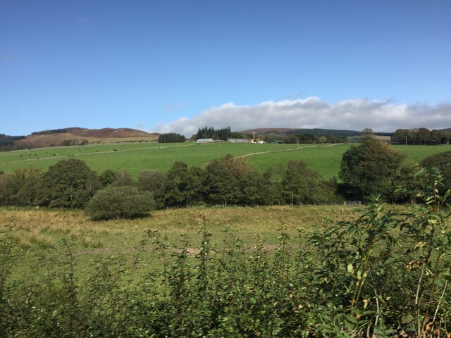
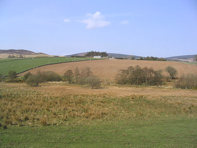
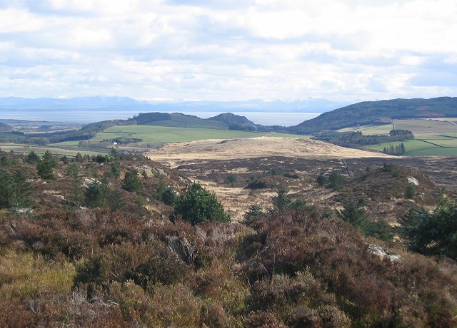
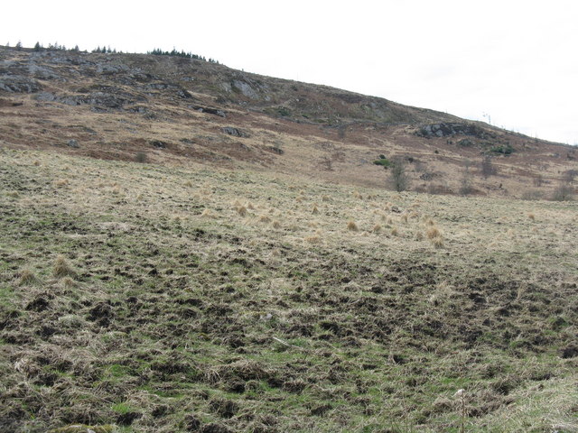
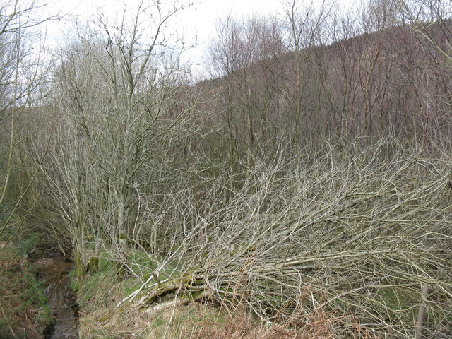
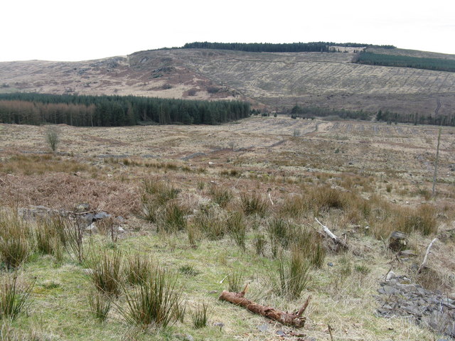
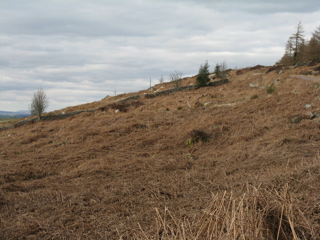
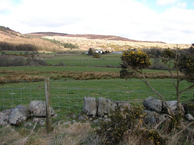
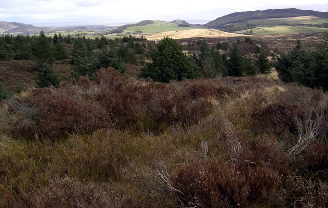
Hill Wood, located in Kirkcudbrightshire, is a picturesque forest that spans across a vast area of land. Nestled in the rolling hills of southern Scotland, this woodland is a delightful escape for nature enthusiasts and visitors seeking tranquility.

The forest is primarily composed of native Scottish trees, such as oak, birch, and pine. These majestic trees create a dense canopy that provides shade and shelter for a diverse range of flora and fauna. The forest floor is adorned with a carpet of wildflowers, adding bursts of color to the landscape throughout the seasons.

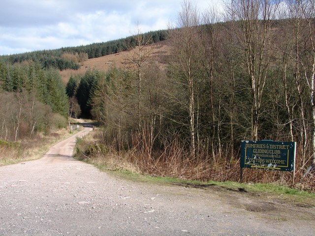
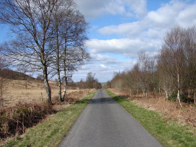
Hill Wood is crisscrossed with well-maintained walking trails, making it a popular destination for hikers and walkers. These paths wind through the forest, offering breathtaking views of the surrounding countryside and glimpses of local wildlife, including deer, squirrels, and various bird species.

For those interested in history, Hill Wood has an intriguing past. The forest was once part of the royal hunting grounds of the ancient Scottish kings, and remnants of these hunting lodges can still be found within the woodland. Exploring these historical sites adds an extra layer of fascination to the natural beauty of the area.

Visitors to Hill Wood can enjoy a peaceful picnic in one of the designated areas or simply find a quiet spot to sit and absorb the tranquility of the surroundings. Whether it's a leisurely stroll, a wildlife-spotting adventure, or a moment of reflection, Hill Wood offers a serene and enchanting experience for all who venture into its depths.

If you have any feedback on the listing, please let us know in the comments section below.

Hill Wood Images

Images are sourced within 2km of 54.931195/-3.7235789 or Grid Reference NX8960. Thanks to Geograph Open Source API. All images are credited.
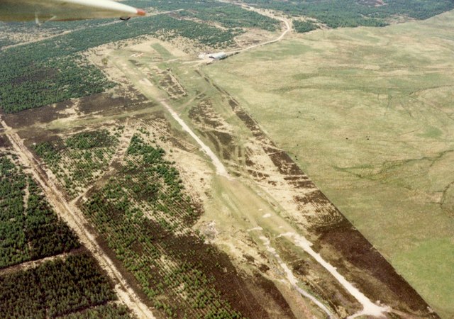
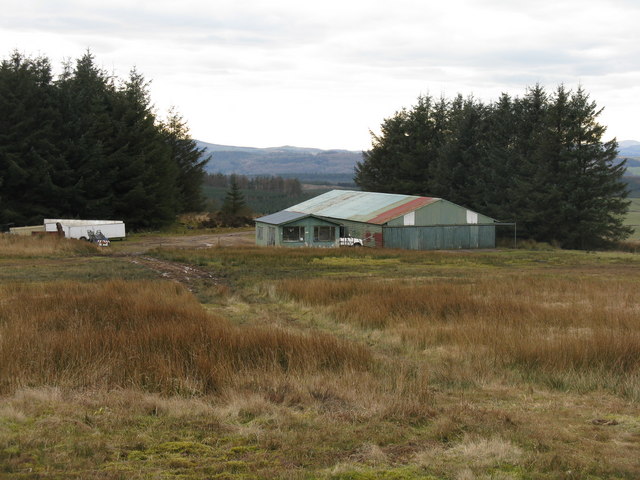
Dumfries and Galloway farmland Viewed from the B793
Dumfries and Galloway farmland
Viewed from the B793
Mixed farmland Viewed from the B793 with Glensone Farm in the background.
Mixed farmland
Viewed from the B793 with Glensone Farm in the background.
Coronation Memorial Fountain Dated 1902 to King Edward VII and erected by Colonel Mackenzie of Auchenskeoch. By the side of the B793.
Coronation Memorial Fountain
Dated 1902 to King Edward VII and erected by Colonel Mackenzie of Auchenskeoch. By the side of the B793.
Clawbelly Hill. Rough ground with exposed granite and many knolls and bogs. View south with the snow covered Lake District hills across the Solway Firth.
Clawbelly Hill.
Rough ground with exposed granite and many knolls and bogs. View south with the snow covered Lake District hills across the Solway Firth.
Falgunzeon airfield The home of the Dumfries & District Gliding Club, photographed from a glider. One of the smallest gliding clubs in the UK, the runway is the diagonal strip running across the centre from just under the wing-tip to lower right. For the runway from the ground see <a href="https://www.geograph.org.uk/photo/729512">NX8862 : Ready for take off</a>.
Falgunzeon airfield
The home of the Dumfries & District Gliding Club, photographed from a glider. One of the smallest gliding clubs in the UK, the runway is the diagonal strip running across the centre from just under the wing-tip to lower right. For the runway from the ground see NX8862 : Ready for take off.
Falgunzeon airfield Glider [Ka2] landing at the Dumfries & District Gliding Club, with clubhouse and hangar beyond.
Falgunzeon airfield
Glider [Ka2] landing at the Dumfries & District Gliding Club, with clubhouse and hangar beyond.
Shooting Box The ruin of an old shooting box on the summit of Maidenpap hill near Dalbeattie.
Shooting Box
The ruin of an old shooting box on the summit of Maidenpap hill near Dalbeattie.
Round Fell Roundfell Farm with Round Fell behind.
Round Fell
Roundfell Farm with Round Fell behind.
Farm Track A rough farm track leads towards Roundfell Farm.
Farm Track
A rough farm track leads towards Roundfell Farm.
Clawbelly Hill
Clawbelly Hill
Roadside scrub at Southwick Burn
Clawbelly Hill Looking across the valley of Southwick Burn, from the track up to the Gliding club. A lot of the old forestry plantations have now been cleared.
Clawbelly Hill
Looking across the valley of Southwick Burn, from the track up to the Gliding club. A lot of the old forestry plantations have now been cleared.
Bracken on Roundfell Looking north from the forestry track, which also leads to the Dumfries Gliding Club.
Bracken on Roundfell
Looking north from the forestry track, which also leads to the Dumfries Gliding Club.
Dumfries Gliding Club hangar and clubhouse The trees are a bit larger than they were when the last photo was taken in 1982 <a href="https://www.geograph.org.uk/photo/480594">NX8862 : Falgunzeon airfield</a>.
Dumfries Gliding Club hangar and clubhouse
The trees are a bit larger than they were when the last photo was taken in 1982 NX8862 : Falgunzeon airfield.
Roundfell Farm View of Roundfell Farm from Walltrees on the Auchenskeoch-Bargrug lane.
Roundfell Farm
View of Roundfell Farm from Walltrees on the Auchenskeoch-Bargrug lane.
Falgunzeon Airfield track Entry into forest track leading Falgunzeon airfield from the Auchenskeoch-Bargrug lane.
Falgunzeon Airfield track
Entry into forest track leading Falgunzeon airfield from the Auchenskeoch-Bargrug lane.
Auchenskeoch - Bargrug lane View north on the Auchenskeoch-Bargrug lane.
Auchenskeoch - Bargrug lane
View north on the Auchenskeoch-Bargrug lane.
Summit of Clawbelly Hill The tusocky, heather covered summit of Clawbelly Hill.
Summit of Clawbelly Hill
The tusocky, heather covered summit of Clawbelly Hill.
Show me another place!

Hill Wood is located at Grid Ref: NX8960 (Lat: 54.931195, Lng: -3.7235789)

Unitary Authority: Dumfries and Galloway

Police Authority: Dumfries and Galloway

What 3 Words

///expansion.soda.dumplings. Near Dalbeattie, Dumfries & Galloway

Related Wikis

Southwick railway station (Scotland)

Southwick (Dumfries & Galloway) railway station served the civil parish of Colvend and Southwick, Dumfries and Galloway, Scotland from 1859 to 1965 on...

Kirkgunzeon railway station

Kirkgunzeon railway station served the village of Kirkgunzeon, Dumfries and Galloway, Scotland from 1859 to 1950 on the Castle Douglas and Dumfries Railway...

Dalbeattie Star F.C.

Dalbeattie Star Football Club is a Scottish association football club based in Dalbeattie, Dumfries and Galloway. It currently competes in the South of...

Criffel

Criffel is a hill in the historical county of Kirkcudbrightshire, Dumfries and Galloway, south-west Scotland. It is 570 m (1,870 ft) high but appears higher...

Dalbeattie

Dalbeattie (, Scots: Dawbeattie, Scottish Gaelic: Dail Bheithe meaning 'haugh of the birch' or Dail bhàite 'drowned (i.e. liable to flood) haugh') is a...

Dalbeattie Town Hall

Dalbeattie Town Hall is a municipal building in the High Street in Dalbeattie, Dumfries and Galloway, Scotland. The structure, which is used as community...

Kirkgunzeon

Kirkgunȝeon (Scottish Gaelic: Cill Fhionnain) is a village and civil parish in Dumfries and Galloway, south west Scotland. The village is 10.4 miles (16...

Dalbeattie railway station

Dalbeattie railway station served the town of Dalbeattie, Dumfries and Galloway, Scotland from 1859 to 1965 on the Castle Douglas and Dumfries Railway...

Nearby Amenities

Located within 500m of 54.931195,-3.7235789
Round Fell
Natural: peak
Lat/Long: 54.9340809/-3.729234
Power: pole
Lat/Long: 54.9272014/-3.7241935
Power: pole
Lat/Long: 54.9276634/-3.7250209
The data included in this document is from www.openstreetmap.org. The data is made available under ODbL.

Have you been to Hill Wood?

Leave your review of Hill Wood below (or comments, questions and feedback).