Roundfell Dam Wood
Wood, Forest in Kirkcudbrightshire
Scotland
Roundfell Dam Wood
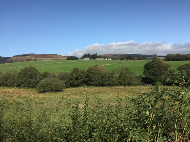
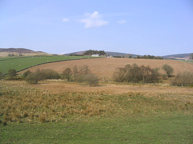
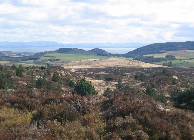
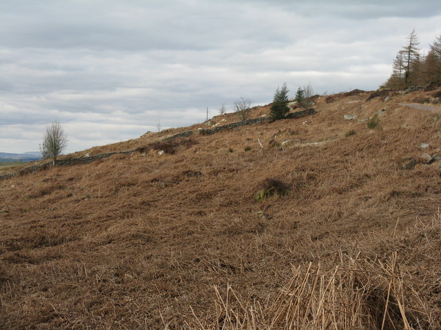
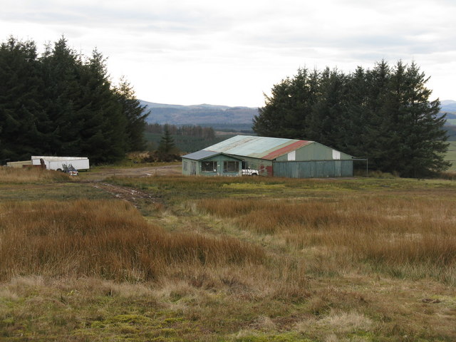
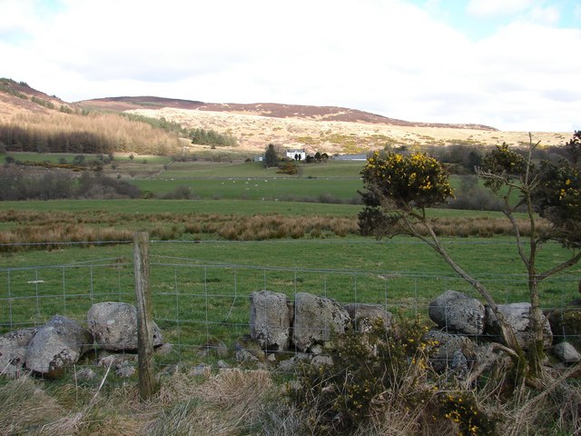
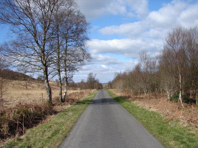
Roundfell Dam Wood is a picturesque woodland located in Kirkcudbrightshire, Scotland. Nestled in the heart of the countryside, this enchanting forest covers an area of approximately 50 hectares, providing an idyllic retreat for nature lovers and outdoor enthusiasts.
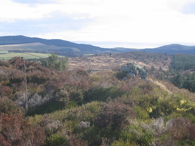
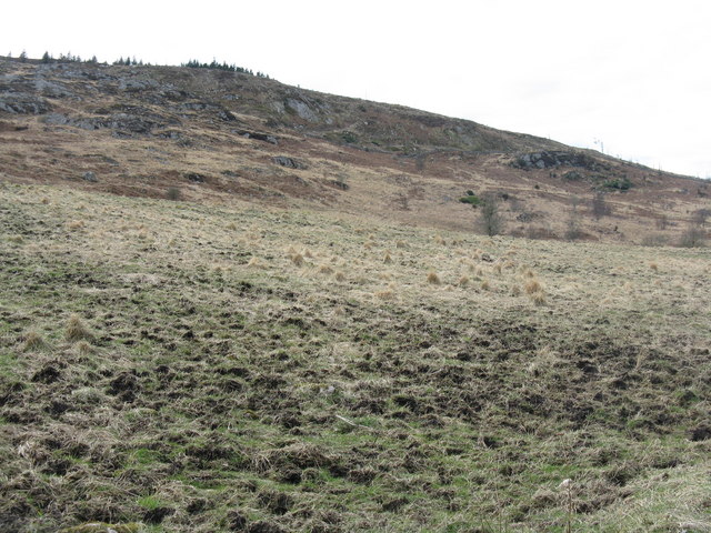
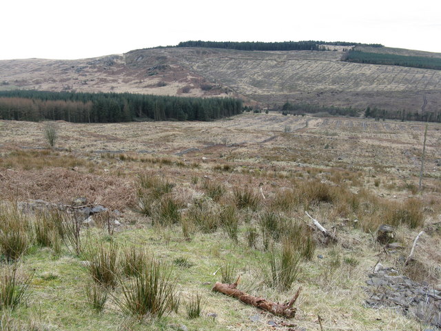
The woodland is characterized by a diverse range of tree species, including oak, birch, beech, and conifers, creating a rich and varied habitat for wildlife. The dense canopy of foliage provides shelter for numerous bird species, such as woodpeckers, owls, and thrushes. Visitors may also encounter small mammals like squirrels, badgers, and foxes as they explore the woodland trails.
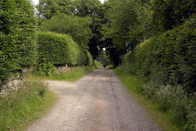
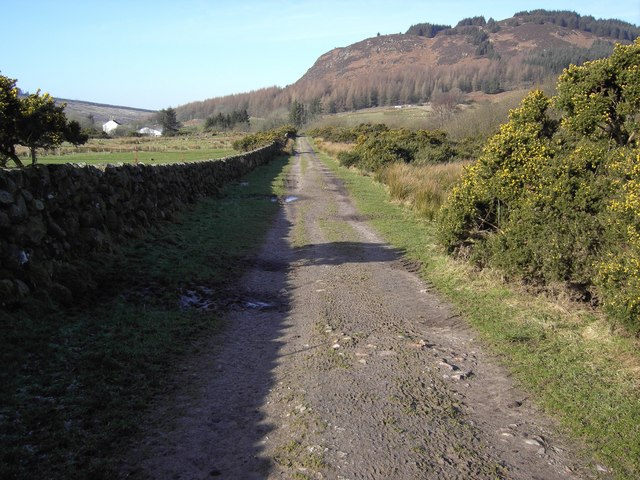
Roundfell Dam Wood boasts a network of well-maintained paths, allowing visitors to fully immerse themselves in the natural beauty of the area. The trails wind their way through the forest, offering breathtaking views of the surrounding landscape. Along the way, there are several benches and picnic areas, providing opportunities for relaxation and enjoyment of the tranquil surroundings.
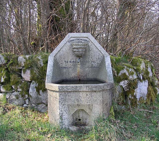
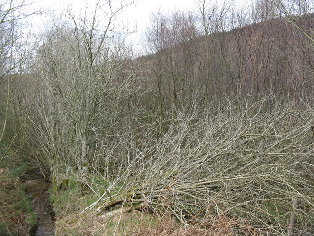
One of the highlights of Roundfell Dam Wood is its namesake, a small dam located within the woodland. The dam not only adds to the charm of the area but also serves as a habitat for a variety of aquatic wildlife, including frogs, newts, and dragonflies.
Whether for a peaceful stroll, birdwatching, or a family picnic, Roundfell Dam Wood offers a serene and unspoiled natural environment for visitors to enjoy. Its accessibility and diverse range of flora and fauna make it a must-visit destination for nature enthusiasts and those seeking a peaceful escape from the hustle and bustle of everyday life.
If you have any feedback on the listing, please let us know in the comments section below.
Roundfell Dam Wood Images
Images are sourced within 2km of 54.928192/-3.7255574 or Grid Reference NX8960. Thanks to Geograph Open Source API. All images are credited.
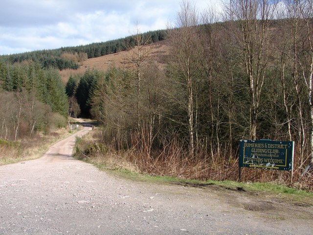
![Falgunzeon airfield Glider [Ka2] landing at the Dumfries & District Gliding Club, with clubhouse and hangar beyond.](https://s2.geograph.org.uk/photos/48/05/480594_5aa84c76.jpg)
Roundfell Dam Wood is located at Grid Ref: NX8960 (Lat: 54.928192, Lng: -3.7255574)
Unitary Authority: Dumfries and Galloway
Police Authority: Dumfries and Galloway
What 3 Words
///torch.paradise.nags. Near Dalbeattie, Dumfries & Galloway
Nearby Locations
Related Wikis

Southwick railway station (Scotland)
Southwick (Dumfries & Galloway) railway station served the civil parish of Colvend and Southwick, Dumfries and Galloway, Scotland from 1859 to 1965 on...

Dalbeattie Star F.C.
Dalbeattie Star Football Club is a Scottish association football club based in Dalbeattie, Dumfries and Galloway. It currently competes in the South of...

Dalbeattie
Dalbeattie (, Scots: Dawbeattie, Scottish Gaelic: Dail Bheithe meaning 'haugh of the birch' or Dail bhàite 'drowned (i.e. liable to flood) haugh') is a...

Kirkgunzeon railway station
Kirkgunzeon railway station served the village of Kirkgunzeon, Dumfries and Galloway, Scotland from 1859 to 1950 on the Castle Douglas and Dumfries Railway...
Dalbeattie Town Hall
Dalbeattie Town Hall is a municipal building in the High Street in Dalbeattie, Dumfries and Galloway, Scotland. The structure, which is used as community...

Criffel
Criffel is a hill in the historical county of Kirkcudbrightshire, Dumfries and Galloway, south-west Scotland. It is 570 m (1,870 ft) high but appears higher...

Dalbeattie railway station
Dalbeattie railway station served the town of Dalbeattie, Dumfries and Galloway, Scotland from 1859 to 1965 on the Castle Douglas and Dumfries Railway...
Dalbeattie High School
Dalbeattie High School is a small rural secondary school on the edge of Dalbeattie in the historical county of Kirkcudbrightshire in the local council...
Nearby Amenities
Located within 500m of 54.928192,-3.7255574Have you been to Roundfell Dam Wood?
Leave your review of Roundfell Dam Wood below (or comments, questions and feedback).