Callendar Wood
Wood, Forest in Stirlingshire
Scotland
Callendar Wood

Callendar Wood, located in Stirlingshire, Scotland, is a picturesque and diverse forest that covers an area of approximately 650 acres. Situated near the town of Falkirk, it is easily accessible and offers a tranquil retreat for nature enthusiasts and outdoor adventurers alike.
The wood consists of a rich mix of broadleaf and coniferous trees, including oak, beech, birch, and pine, creating a stunning tapestry of colors throughout the seasons. The forest floor is adorned with a vibrant carpet of wildflowers and ferns, further enhancing its natural beauty.
Visitors to Callendar Wood can enjoy a network of well-maintained walking trails, allowing them to explore the forest at their own pace. These trails cater to all levels of fitness and offer a variety of routes, ranging from gentle strolls to more challenging hikes. Along the way, walkers can witness an abundance of wildlife, including deer, squirrels, and a myriad of bird species.
For those seeking a more active experience, Callendar Wood also offers mountain biking trails that wind through the forest. These trails provide an exhilarating ride, with varying levels of difficulty to suit both beginners and seasoned riders.
Moreover, the wood features several designated picnic areas, where visitors can relax and enjoy a packed lunch amidst the tranquil surroundings. There are also facilities for barbecues, making it an ideal spot for a family gathering or a leisurely day out with friends.
Overall, Callendar Wood in Stirlingshire is a delightful destination that showcases the natural beauty of Scotland. Whether you seek a peaceful walk, an adrenaline-fueled bike ride, or simply a place to connect with nature, this forest offers something for everyone.
If you have any feedback on the listing, please let us know in the comments section below.
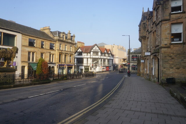
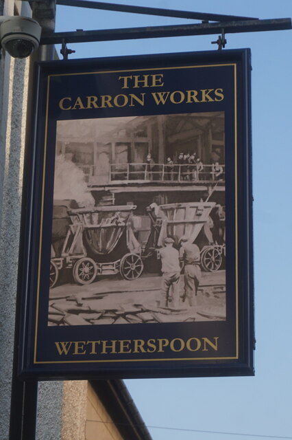
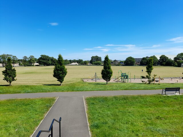
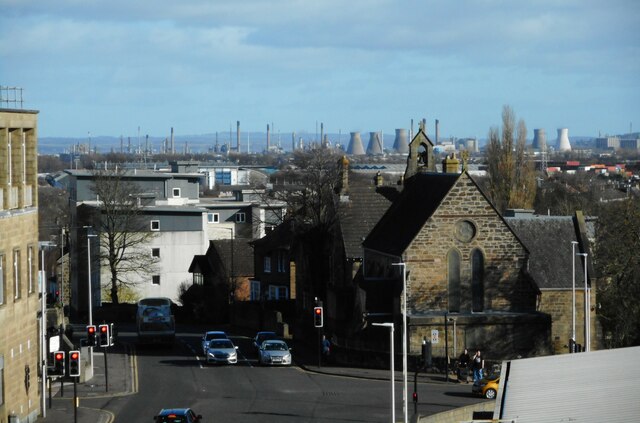
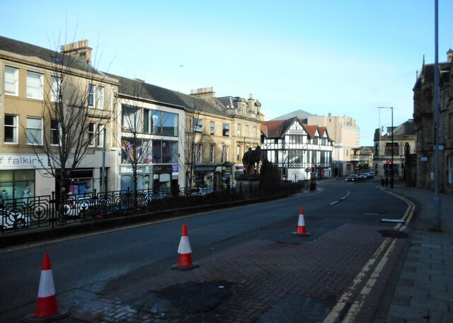
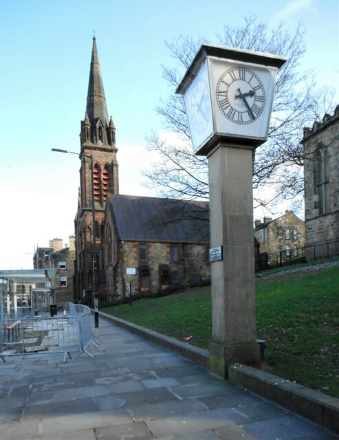
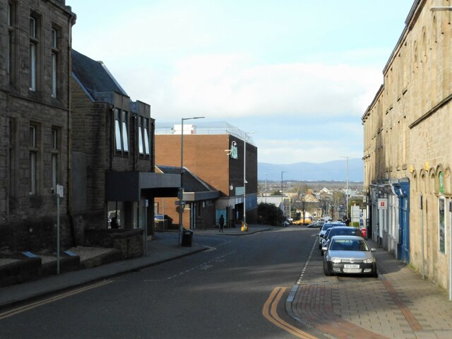
Callendar Wood Images
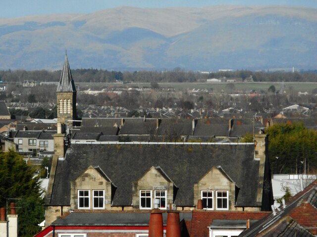
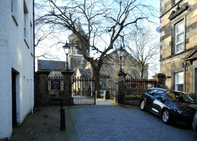
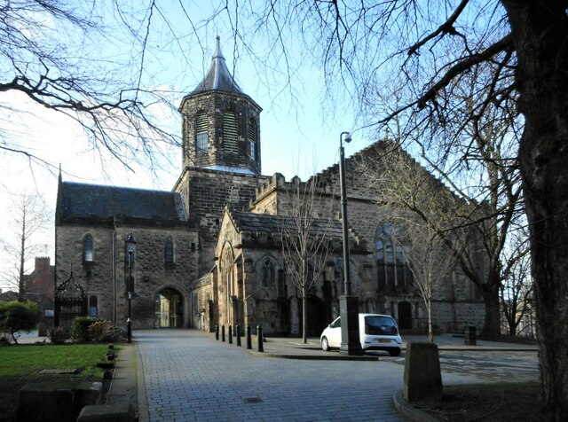
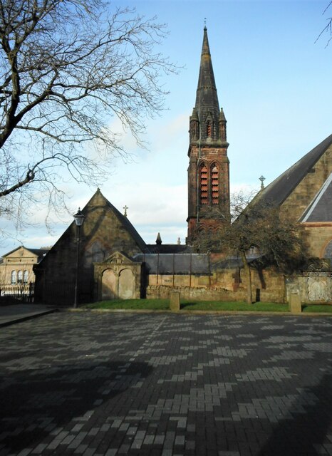
Images are sourced within 2km of 55.990689/-3.7705642 or Grid Reference NS8978. Thanks to Geograph Open Source API. All images are credited.


Callendar Wood is located at Grid Ref: NS8978 (Lat: 55.990689, Lng: -3.7705642)
Unitary Authority: Falkirk
Police Authority: Forth Valley
What 3 Words
///milky.object.spark. Near Hallglen, Falkirk
Nearby Locations
Related Wikis

Callendar House
Callendar House is a mansion set within the grounds of Callendar Park in Falkirk, central Scotland. During the 19th century, it was redesigned and extended...

Battle of Falkirk
The Battle of Falkirk (Scottish Gaelic: Blàr na h-Eaglaise Brice), on 22 July 1298, was one of the major battles in the First War of Scottish Independence...

Graeme High School
Graeme High School is a non-denominational public secondary school located in Falkirk, Scotland. The school is operated by Falkirk Council on behalf of...

Falkirk bus station
Falkirk bus station is a disused bus station situated in Falkirk, Scotland. It is privately owned. == History == The station was built in the 1930s for...

Glen Village
Glen Village is a settlement in the Falkirk council area of Scotland, situated at the southern end of Callendar Park, and around 1 mile (1.6 km) south...

Falkirk Steeple
The Falkirk Steeple is a landmark which dominates the skyline of Falkirk in central Scotland. The present structure on the High Street was built in 1814...
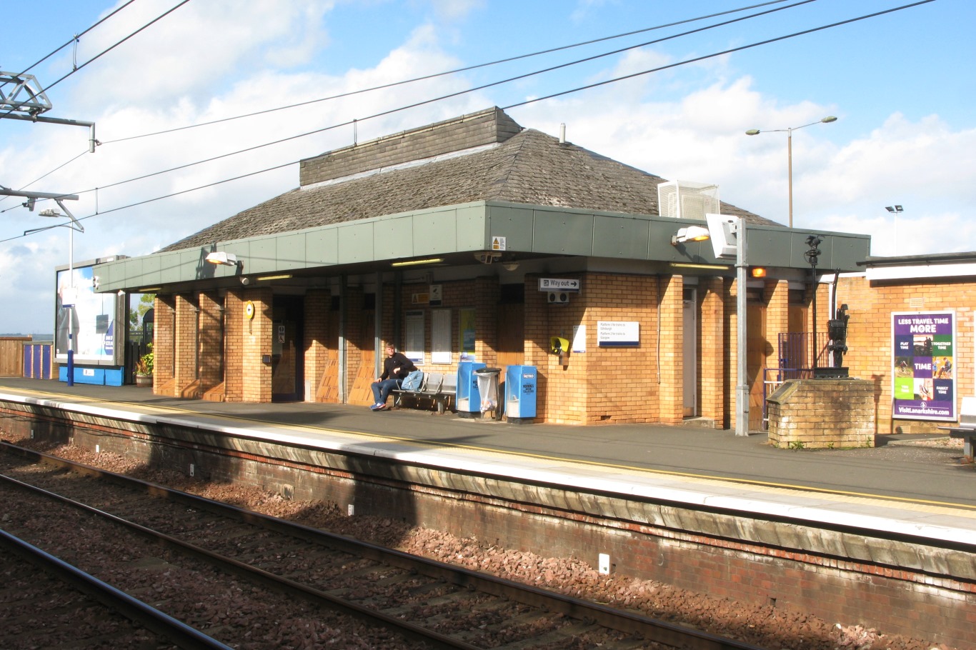
Falkirk High railway station
Falkirk High railway station is one of two railway stations serving the town of Falkirk in Scotland. It is on the Glasgow to Edinburgh via Falkirk Line...

Woodlands, Falkirk
Woodlands is a large, prosperous central area (ward) of Falkirk, Stirlingshire, Scotland, which is mainly residential. Much of the ward is taken up by...
Nearby Amenities
Located within 500m of 55.990689,-3.7705642Have you been to Callendar Wood?
Leave your review of Callendar Wood below (or comments, questions and feedback).