Mary Wood
Wood, Forest in Perthshire
Scotland
Mary Wood
The requested URL returned error: 429 Too Many Requests
If you have any feedback on the listing, please let us know in the comments section below.
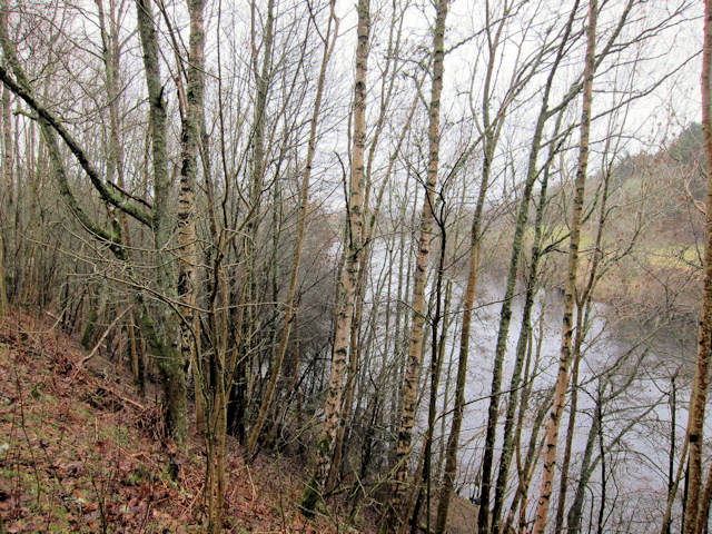
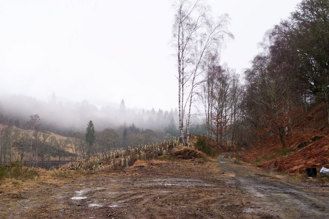
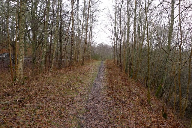
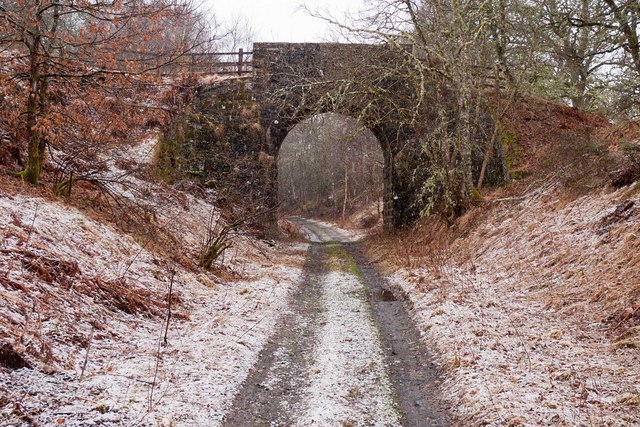
Mary Wood Images
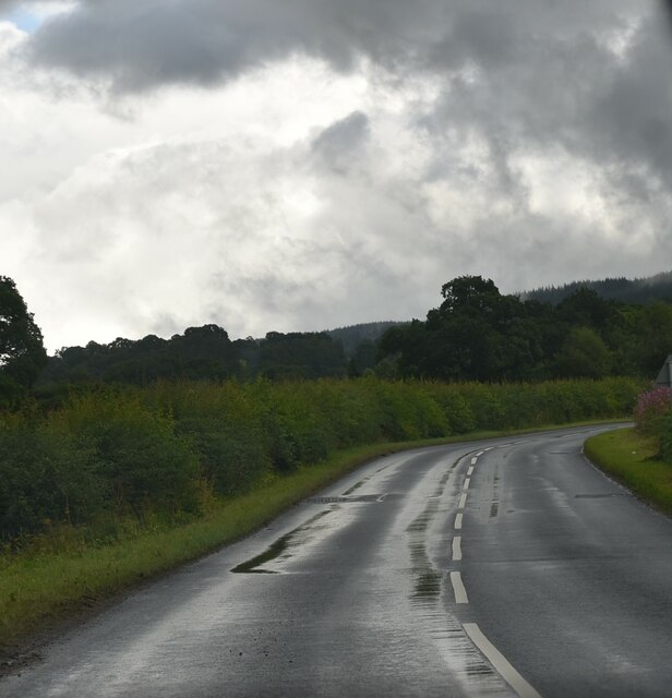
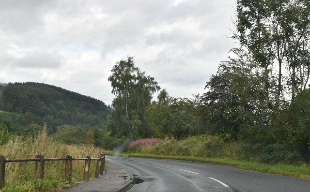
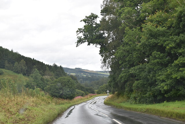
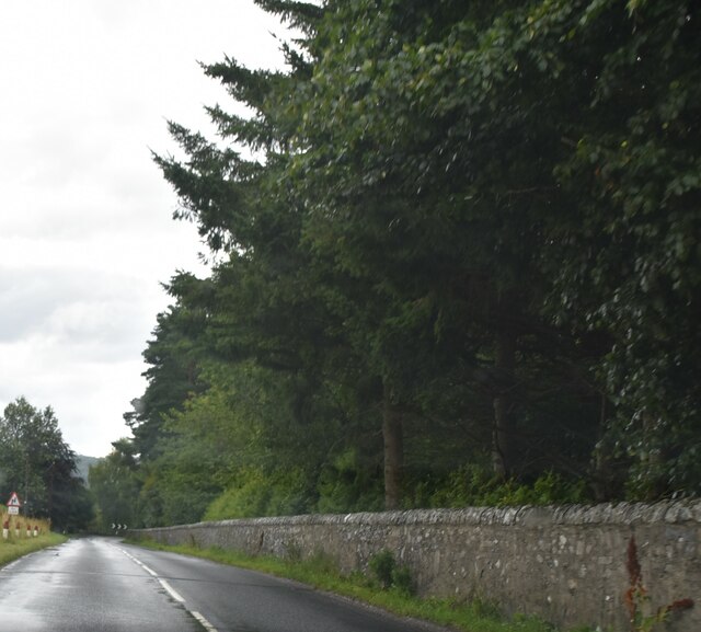
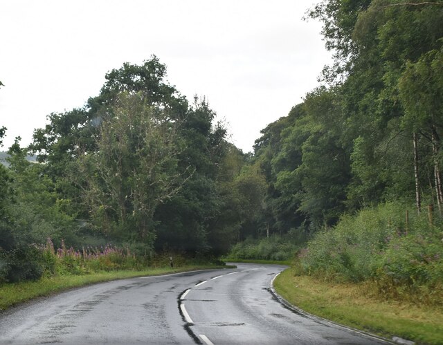
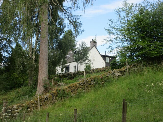
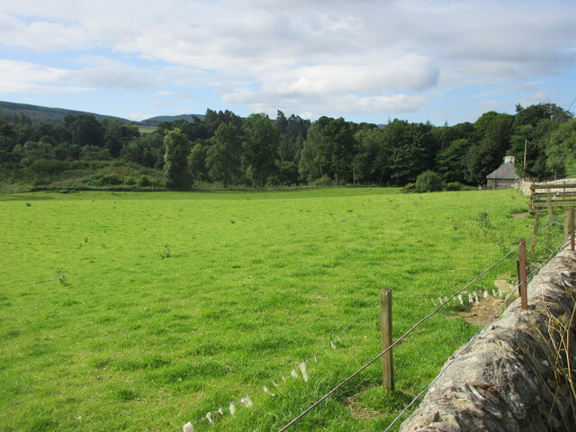
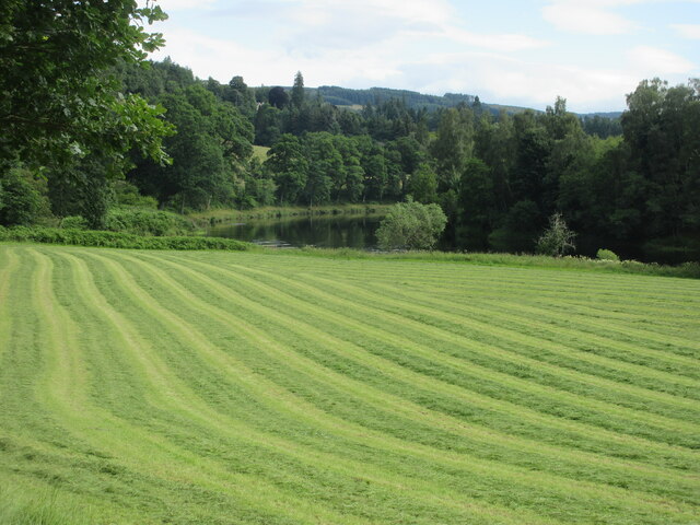
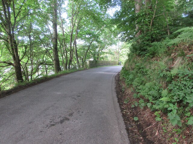
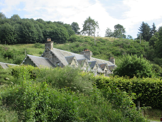
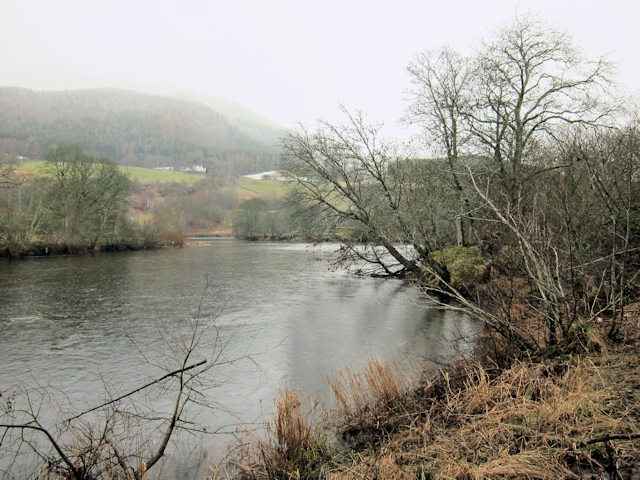
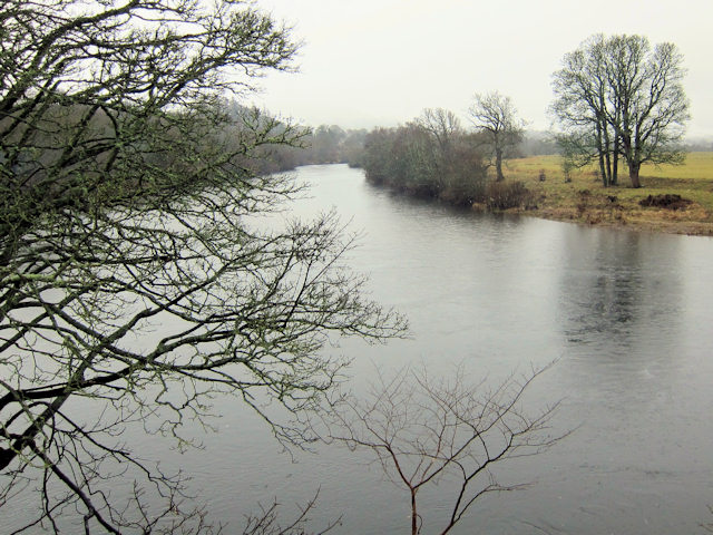
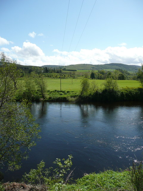
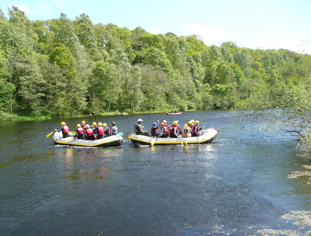
Images are sourced within 2km of 56.644624/-3.824208 or Grid Reference NN8851. Thanks to Geograph Open Source API. All images are credited.
Mary Wood is located at Grid Ref: NN8851 (Lat: 56.644624, Lng: -3.824208)
Unitary Authority: Perth and Kinross
Police Authority: Tayside
What 3 Words
///records.firms.retraced. Near Aberfeldy, Perth & Kinross
Nearby Locations
Related Wikis

Cluny House
Cluny House is Category B listed building in Aberfeldy, Perth and Kinross, Scotland. It dates to around 1825. Its tower was added about fifty years later...
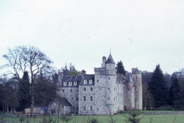
Grandtully Castle
Grandtully Castle is an historic building in Grandtully, Perth and Kinross, Scotland. It is a Category A listed building dating to 1560. An earlier castle...
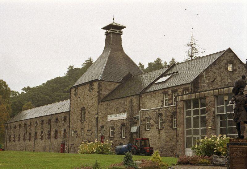
Aberfeldy distillery
Aberfeldy distillery is a single malt Scotch whisky distillery in Scotland. == History == Aberfeldy Distillery was founded by the John Dewar & Sons, Ltd...

Grandtully
Grandtully (pronounced as "Grantly" and sometimes also spelt "Grantully") is a small village in Perthshire, Scotland. It is situated close to the River...
Nearby Amenities
Located within 500m of 56.644624,-3.824208Have you been to Mary Wood?
Leave your review of Mary Wood below (or comments, questions and feedback).