Edradynate Wood
Wood, Forest in Perthshire
Scotland
Edradynate Wood
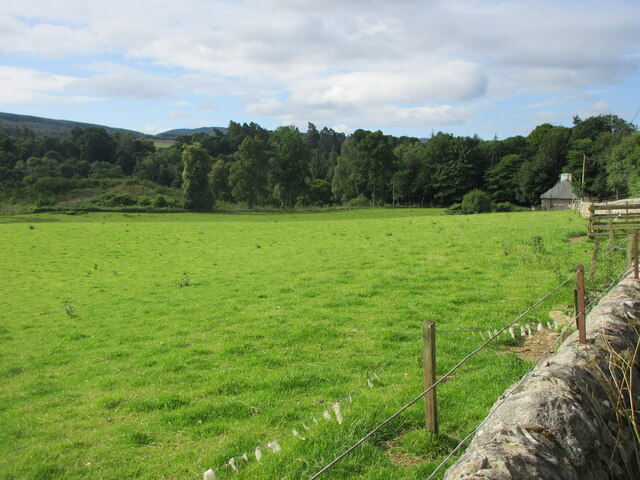
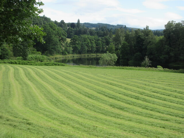
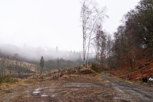
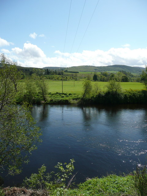
Edradynate Wood is a picturesque forest located in Perthshire, Scotland. Spanning over an area of approximately 1,000 acres, it is a popular destination for nature enthusiasts and outdoor adventurers alike. The wood is nestled within the stunning countryside, offering visitors breathtaking views of the surrounding rolling hills and tranquil rivers.
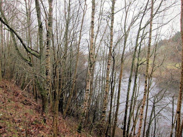
The forest is predominantly composed of native Scottish tree species, such as oak, birch, and pine, creating a diverse and vibrant ecosystem. It serves as a haven for a wide variety of wildlife, including red squirrels, roe deer, and numerous bird species, making it a perfect spot for birdwatching and animal spotting.
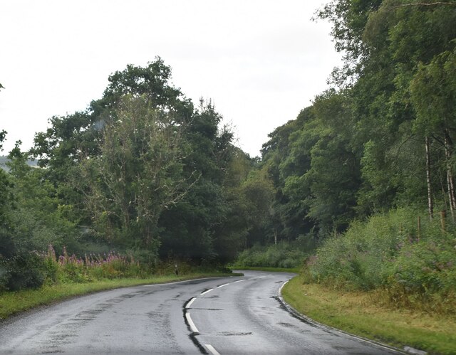
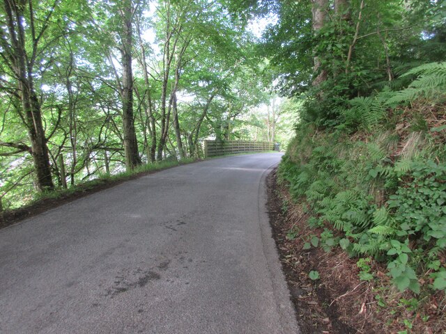
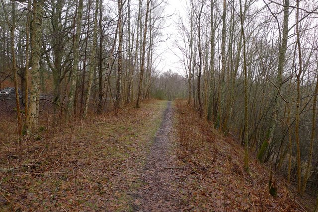
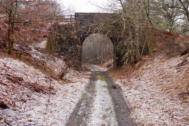
Edradynate Wood boasts a network of well-maintained walking trails, allowing visitors to explore its beauty at their own pace. The paths meander through the forest, passing by babbling brooks, ancient stone bridges, and hidden glens. Along the way, informative signposts provide interesting facts about the flora and fauna, enhancing the educational experience.
Nature lovers can also indulge in activities such as cycling, horseback riding, and picnicking in designated areas. The wood is well-equipped with picnic tables and benches, offering plenty of spots to relax and enjoy the peaceful surroundings.
Overall, Edradynate Wood offers a serene escape from the hustle and bustle of city life. Its stunning natural beauty, diverse wildlife, and well-maintained trails make it an ideal destination for those seeking a tranquil retreat in the heart of Perthshire.
If you have any feedback on the listing, please let us know in the comments section below.
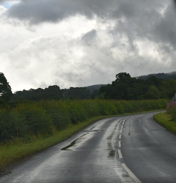
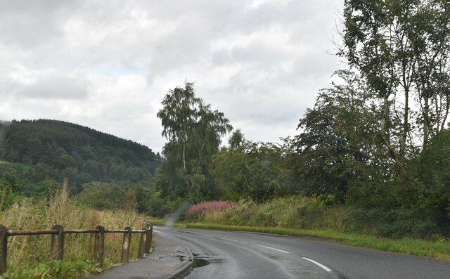
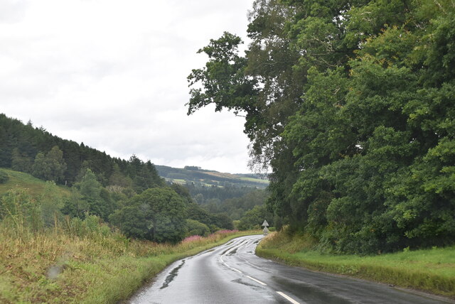
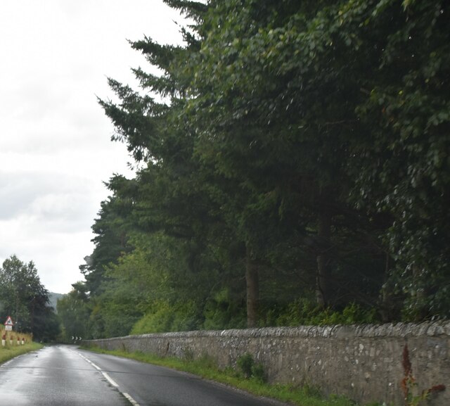
Edradynate Wood Images
Images are sourced within 2km of 56.646078/-3.82069 or Grid Reference NN8851. Thanks to Geograph Open Source API. All images are credited.


Edradynate Wood is located at Grid Ref: NN8851 (Lat: 56.646078, Lng: -3.82069)
Unitary Authority: Perth and Kinross
Police Authority: Tayside
What 3 Words
///flannel.afterglow.risks. Near Aberfeldy, Perth & Kinross
Nearby Locations
Related Wikis

Cluny House
Cluny House is Category B listed building in Aberfeldy, Perth and Kinross, Scotland. It dates to around 1825. Its tower was added about fifty years later...
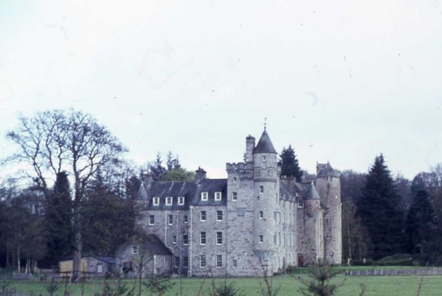
Grandtully Castle
Grandtully Castle is an historic building in Grandtully, Perth and Kinross, Scotland. It is a Category A listed building dating to 1560. An earlier castle...

Grandtully
Grandtully (pronounced as "Grantly" and sometimes also spelt "Grantully") is a small village in Perthshire, Scotland. It is situated close to the River...
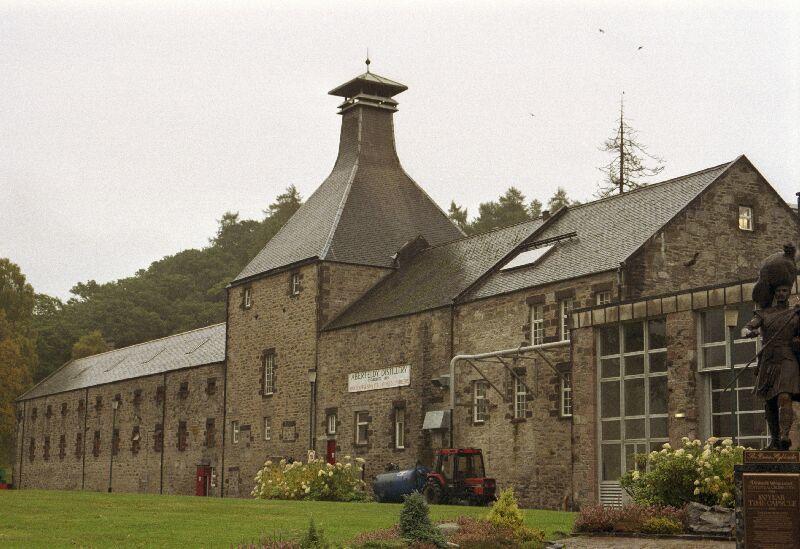
Aberfeldy distillery
Aberfeldy distillery is a single malt Scotch whisky distillery in Scotland. == History == Aberfeldy Distillery was founded by the John Dewar & Sons, Ltd...
Strathtay
For the bus company, see Stagecoach Strathtay.Strathtay is a small rural village on the River Tay in Perthshire, Scotland. It is part of the Grandtully...

Grandtully railway station
Grandtully railway station served the village of Grandtully, Perthshire, Scotland from 1865 to 1965 on the Inverness and Perth Junction Railway. ��2�...

Loch Derculich
Loch Derculich is a freshwater loch in central highlands of Scotland, in Perth and Kinross. Loch Tummel is located three miles to the north. == Habitation... ==

Aberfeldy railway station
Aberfeldy railway station served the village of Aberfeldy in Scotland. == History == The station was opened on 3 July 1865 by the Inverness and Perth Junction...
Nearby Amenities
Located within 500m of 56.646078,-3.82069Have you been to Edradynate Wood?
Leave your review of Edradynate Wood below (or comments, questions and feedback).