Tombuie Wood
Wood, Forest in Perthshire
Scotland
Tombuie Wood
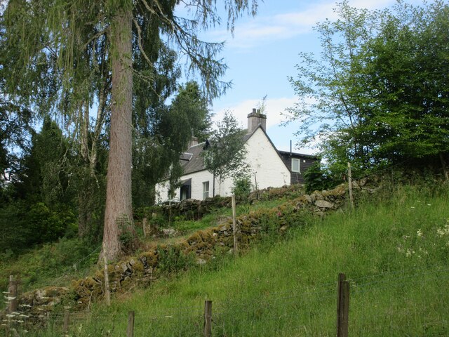
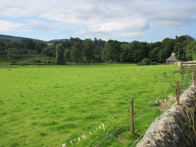
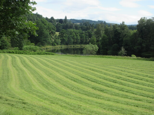
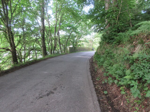
Tombuie Wood is a picturesque forest located in Perthshire, Scotland. Spanning over a vast area, this woodland is renowned for its breathtaking natural beauty and rich biodiversity. The forest is situated just a few miles away from the charming town of Dunkeld, making it easily accessible for visitors.
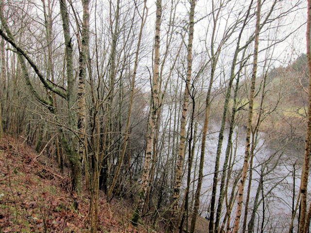
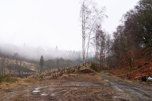
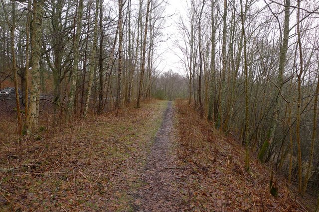
Tombuie Wood is primarily composed of native tree species, including oak, birch, and pine trees, which create a diverse and vibrant ecosystem. The forest floor is covered with a lush carpet of ferns, mosses, and wildflowers, adding to its enchanting ambiance.
The woodland is a haven for wildlife enthusiasts, as it provides a habitat for a wide range of animal species. Visitors may spot red squirrels darting through the trees, while lucky observers may even catch a glimpse of elusive creatures such as pine martens and red deer. Birdwatchers will be delighted to know that the forest is home to various avian species, including woodpeckers, owls, and buzzards.
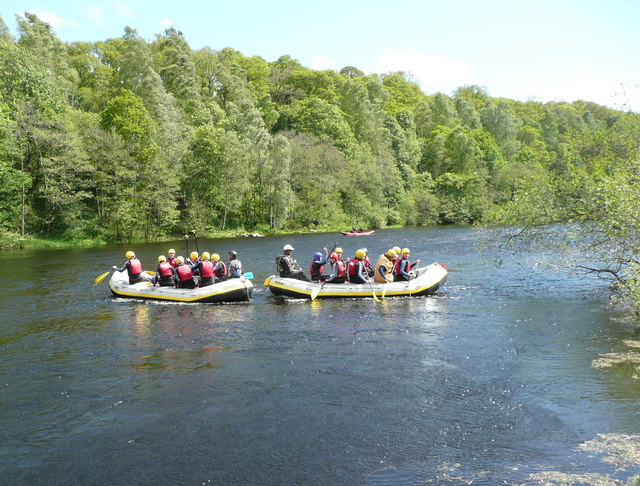
For those seeking outdoor activities, Tombuie Wood offers an extensive network of well-maintained trails and paths, making it an ideal location for hiking, walking, and cycling. The picturesque views and tranquil atmosphere make it a perfect spot for nature lovers looking to immerse themselves in the peaceful surroundings.
Overall, Tombuie Wood in Perthshire is a captivating destination that showcases the natural wonders of Scotland. With its diverse flora and fauna, it provides visitors with an opportunity to appreciate the beauty of the woodlands and engage in various outdoor activities.
If you have any feedback on the listing, please let us know in the comments section below.
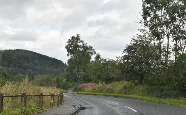
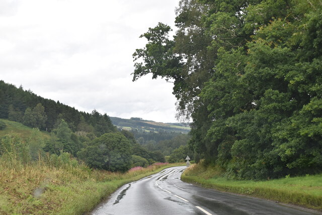
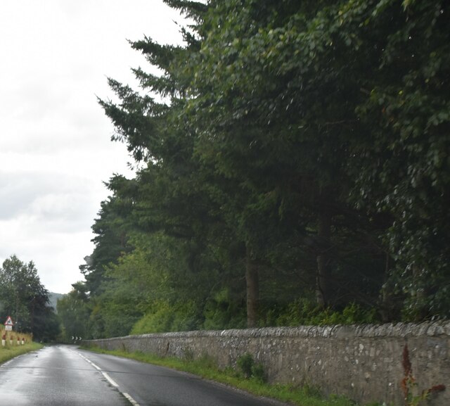
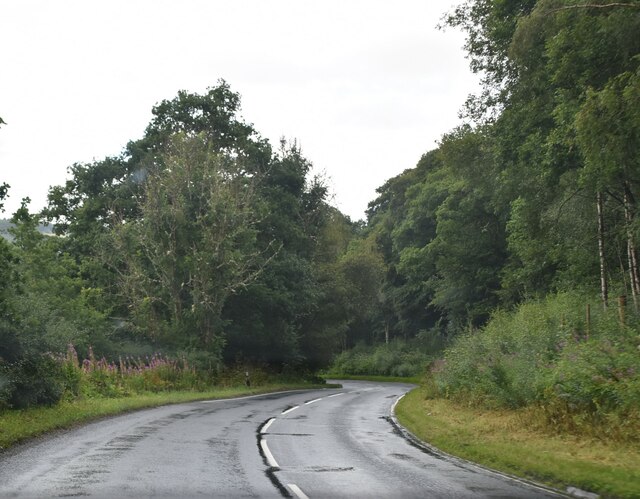
Tombuie Wood Images
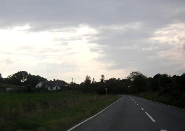
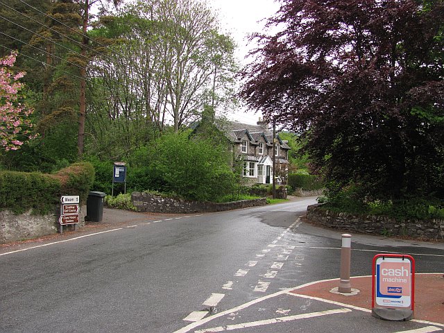
Images are sourced within 2km of 56.645553/-3.8141898 or Grid Reference NN8851. Thanks to Geograph Open Source API. All images are credited.


Tombuie Wood is located at Grid Ref: NN8851 (Lat: 56.645553, Lng: -3.8141898)
Unitary Authority: Perth and Kinross
Police Authority: Tayside
What 3 Words
///calculate.prefix.sake. Near Aberfeldy, Perth & Kinross
Nearby Locations
Related Wikis
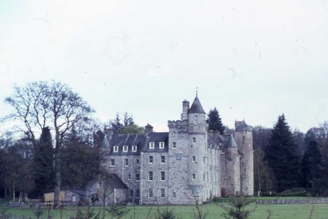
Grandtully Castle
Grandtully Castle is an historic building in Grandtully, Perth and Kinross, Scotland. It is a Category A listed building dating to 1560. An earlier castle...

Cluny House
Cluny House is Category B listed building in Aberfeldy, Perth and Kinross, Scotland. It dates to around 1825. Its tower was added about fifty years later...

Grandtully
Grandtully (pronounced as "Grantly" and sometimes also spelt "Grantully") is a small village in Perthshire, Scotland. It is situated close to the River...
Strathtay
For the bus company, see Stagecoach Strathtay.Strathtay is a small rural village on the River Tay in Perthshire, Scotland. It is part of the Grandtully...
Nearby Amenities
Located within 500m of 56.645553,-3.8141898Have you been to Tombuie Wood?
Leave your review of Tombuie Wood below (or comments, questions and feedback).