Rosehill Plantation
Wood, Forest in Dumfriesshire
Scotland
Rosehill Plantation

The requested URL returned error: 429 Too Many Requests
If you have any feedback on the listing, please let us know in the comments section below.
Rosehill Plantation Images
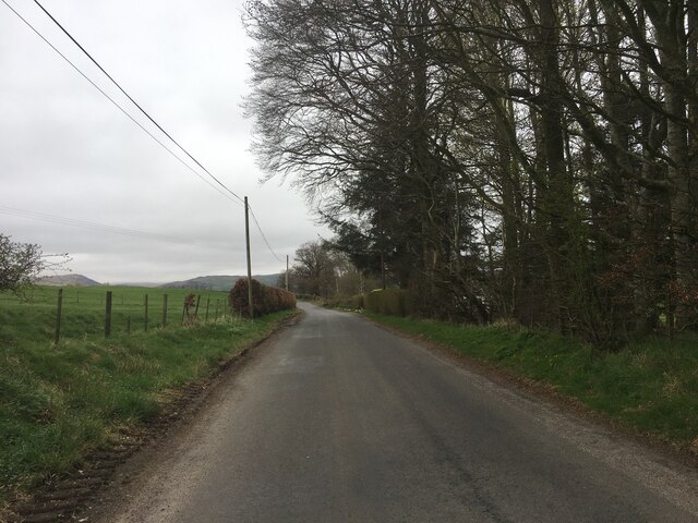
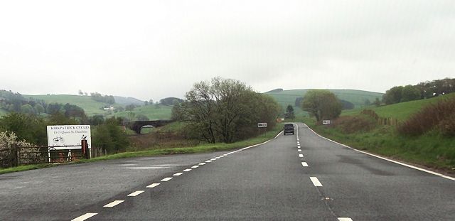
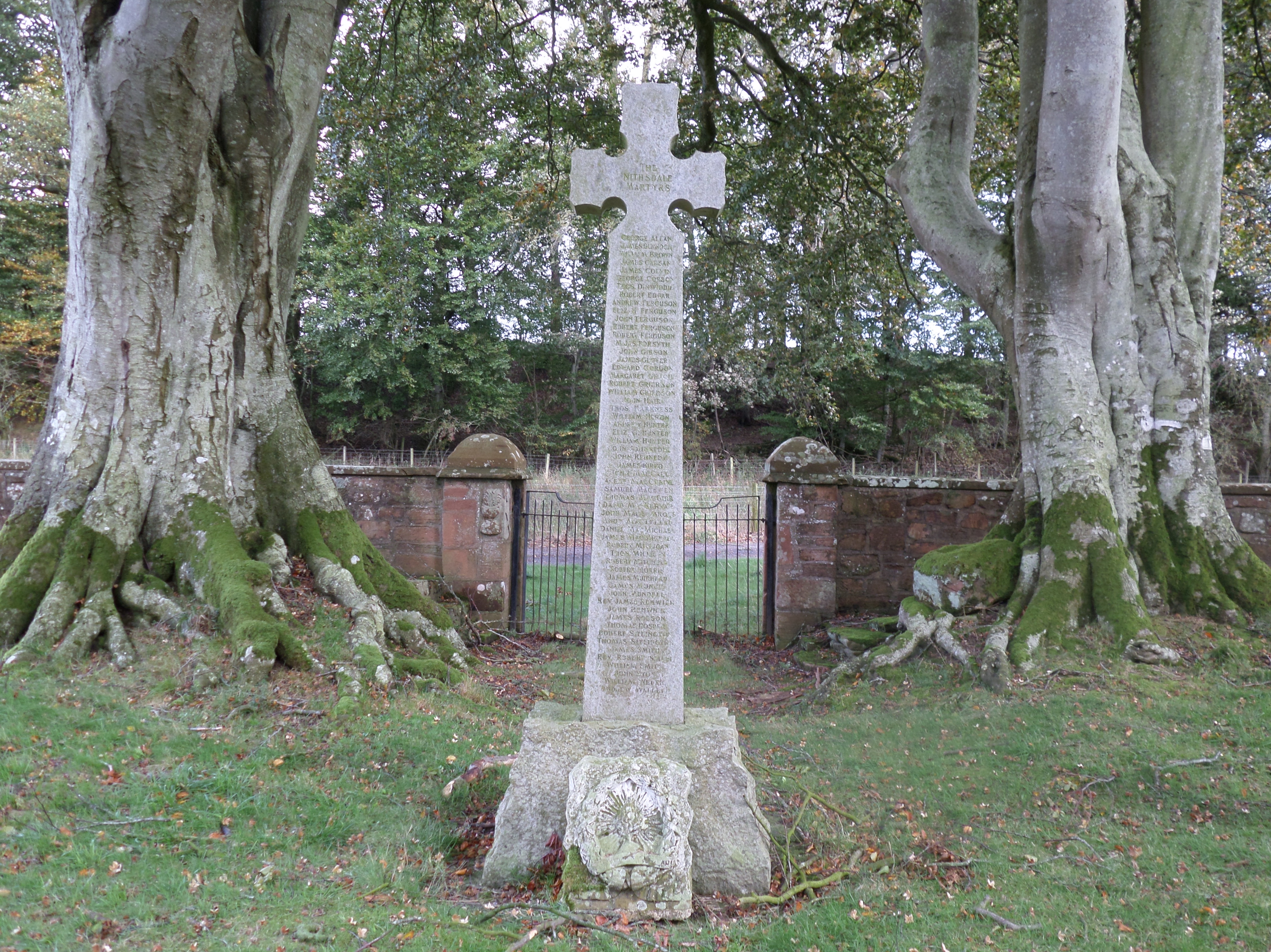
Images are sourced within 2km of 55.214331/-3.7578667 or Grid Reference NX8892. Thanks to Geograph Open Source API. All images are credited.


Rosehill Plantation is located at Grid Ref: NX8892 (Lat: 55.214331, Lng: -3.7578667)
Unitary Authority: Dumfries and Galloway
Police Authority: Dumfries and Galloway
What 3 Words
///positions.eyelashes.troubles. Near Thornhill, Dumfries & Galloway
Nearby Locations
Related Wikis
Dalgarnock
Dalgarnock, Dalgarno, Dalgarnoc was an ancient parish and a once considerable sized village in the Nithsdale area of Dumfries and Galloway, Scotland,...

Closeburn, Dumfries and Galloway
Closeburn (Scottish Gaelic: Cill Osbairn) is a village and civil parish in Dumfries and Galloway, Scotland. The village is on the A76 road 2+1⁄2 miles...
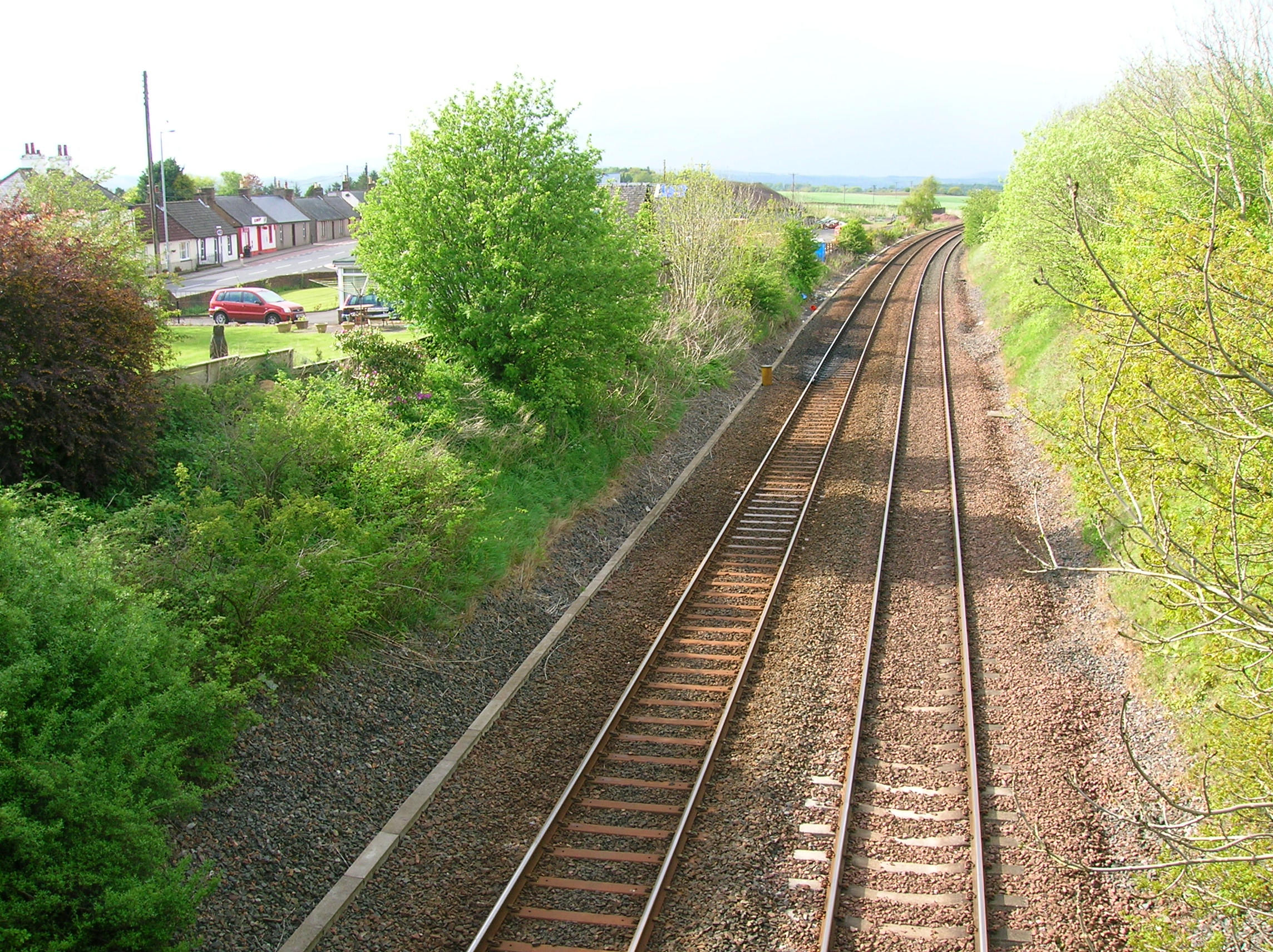
Closeburn railway station
Closeburn railway station was a railway station in Dumfries and Galloway north of Dumfries, serving a rural community with Wallace Hall and Closeburn Castle...

Keir, Dumfries and Galloway
Keir is a civil parish, containing the small village of Keir Mill, in Dumfries and Galloway, Scotland, one mile south of Penpont. It was founded in the...
Nearby Amenities
Located within 500m of 55.214331,-3.7578667Have you been to Rosehill Plantation?
Leave your review of Rosehill Plantation below (or comments, questions and feedback).