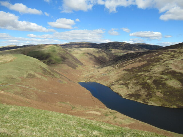
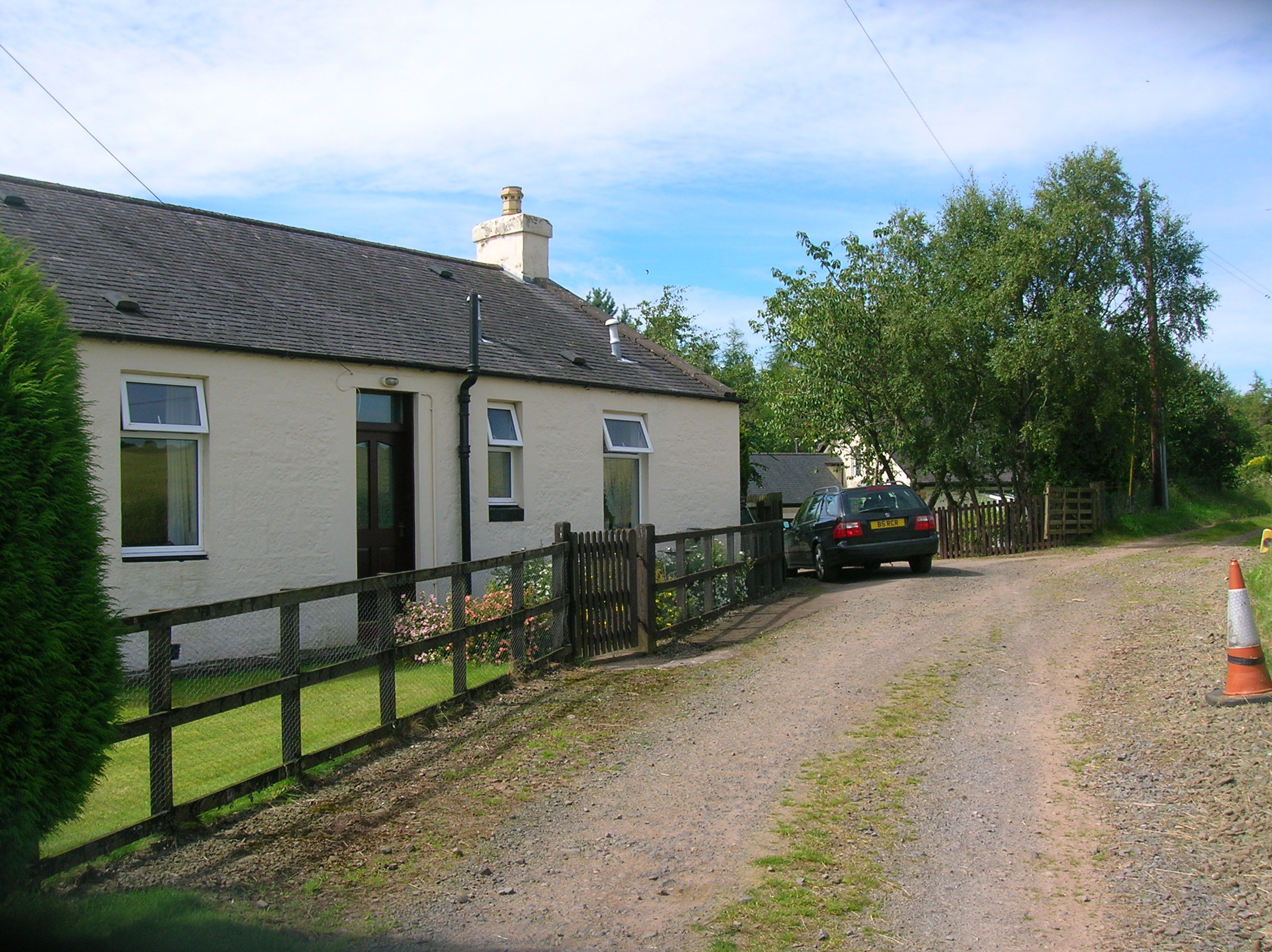
Drumshinnoch Belt
Wood, Forest in Dumfriesshire
Scotland
Drumshinnoch Belt

The requested URL returned error: 429 Too Many Requests
If you have any feedback on the listing, please let us know in the comments section below.
Drumshinnoch Belt Images
Images are sourced within 2km of 55.278574/-3.7614921 or Grid Reference NX8899. Thanks to Geograph Open Source API. All images are credited.


Drumshinnoch Belt is located at Grid Ref: NX8899 (Lat: 55.278574, Lng: -3.7614921)
Unitary Authority: Dumfries and Galloway
Police Authority: Dumfries and Galloway
What 3 Words
///cute.schools.disbelief. Near Thornhill, Dumfries & Galloway
Nearby Locations
Related Wikis

Morton Castle
Morton Castle is located by an artificial loch in the hills above Nithsdale, in Dumfries and Galloway, south-west Scotland. It lies 2.5 miles (4 km) north...
Carronbridge railway station
Carronbridge railway station was a railway station in Dumfries and Galloway north of Dumfries, serving the village of Carronbridge and district. The station...

Carronbridge
Carronbridge is a village in the parish of Morton in Dumfries and Galloway, Scotland. The village is at the junction of the A76 and A702 roads approximately...

Tibbers Castle
Tibbers Castle is a motte-and-bailey castle overlooking a ford across the River Nith in Dumfries and Galloway, Scotland. To the east is the village of...
Nearby Amenities
Located within 500m of 55.278574,-3.7614921Have you been to Drumshinnoch Belt?
Leave your review of Drumshinnoch Belt below (or comments, questions and feedback).