Diana's Grove

Wood, Forest in Perthshire

Scotland

Diana's Grove

Bridge of Tilt Hotel Now closed and being redeveloped.
Bridge of Tilt Hotel Credit: Richard Webb

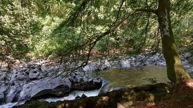
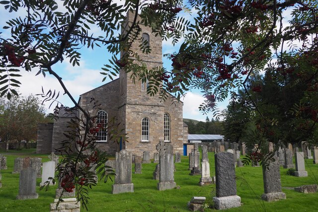
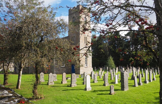
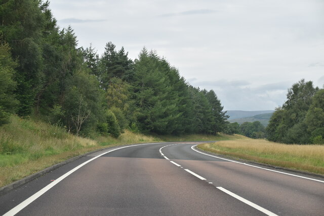
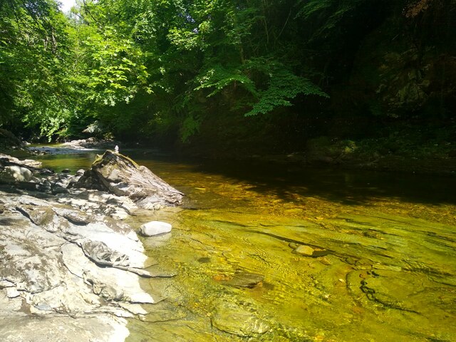
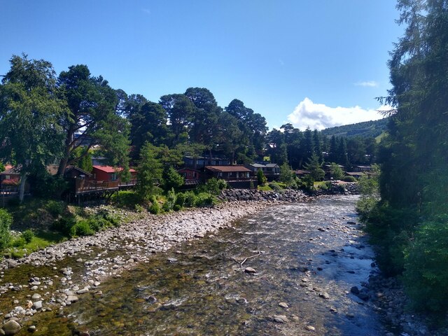
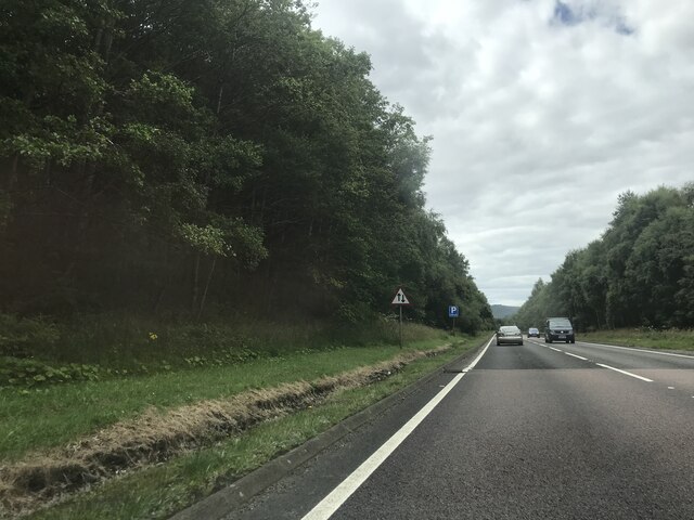
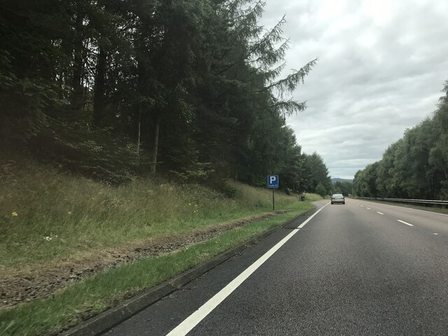
Diana's Grove, located in Perthshire, Scotland, is a captivating woodland area renowned for its majestic trees and enchanting atmosphere. Nestled within the wider estate of Blair Castle, the grove spans approximately 50 acres and is a paradise for nature enthusiasts and history lovers alike.

The grove is named after Diana, the Roman goddess of the hunt, and its origins can be traced back to the 18th century. It was designed by the renowned landscape architect James Pulham, who incorporated a variety of tree species from around the world to create a diverse and visually stunning woodland.

One of the most striking features of Diana's Grove is the towering Wellingtonia trees, also known as giant sequoias, which were planted in the mid-19th century. These impressive giants, native to California, reach heights of up to 200 feet, creating a sense of awe and wonder.

Visitors can explore the grove through a network of well-maintained paths that wind their way through the ancient trees. The tranquility of the surroundings provides a perfect setting for peaceful walks, picnics, or simply immersing oneself in the beauty of nature.

Furthermore, Diana's Grove is not only a natural wonder but also a site of historical importance. The grove is home to a stunning stone pagoda, which was constructed in 1737 and offers a glimpse into the past. This architectural gem provides a unique focal point within the woodland and is a testament to the area's rich heritage.

In conclusion, Diana's Grove in Perthshire is a captivating woodland paradise that combines natural beauty, history, and tranquility. Its magnificent trees, serene pathways, and historic pagoda make it a must-visit destination for those seeking solace in nature.

If you have any feedback on the listing, please let us know in the comments section below.

Diana's Grove Images

Images are sourced within 2km of 56.775311/-3.8575005 or Grid Reference NN8666. Thanks to Geograph Open Source API. All images are credited.

Bridge of Tilt Hotel Now closed and being redeveloped.
Bridge of Tilt Hotel
Now closed and being redeveloped.
The River Tilt near Blair Atholl I didn't notice it at the time, but some of the big rocks on the left have a strange likeness to that holey cheese you get, mostly seen in cartoons. The picture was taken from a well-trodden footpath that runs in between the river and the road between Blair Atholl and Bridge of Tilt.
Having not got very far with my research into the name 'Tilt' (which is still the case), I decided to see if there were any titbits of information in the OS naming books, but oddly nothing was listed. I therefore thought that the river may have gone by a Gaelic name on the initial maps, as it does further upstream. It turns out, however, that several of the exhaustive volumes, which all would have described in varying detail every named feature on the first OS maps round here, were destroyed when the OS headquarters in Southampton was a victim of heavy German bombing in the Second World War. During the Southampton Blitz, in November and December 1940, hundreds of tons of bombs were dropped on the city - the glow of the flames could apparently be seen from across the Channel.
Only the books from Scotland, Northumberland, Cumbria, and some of Durham survived. This geographical split is quite intriguing. It seems unlikely to be a coincidence, and it must be a possibility that OS loosely split Britain into two, storing the records for each half in different parts of the building. Maybe somebody had been referencing North Perthshire in the wrong part of the building the day the bombs were dropped. It would be interesting to know.
The River Tilt flows into the River Garry a mile or so South of here, and starts roughly 15 miles to the NorthEast. Some of the water runs from the small Loch Tilt, but there are other headwaters in the vicinity of the loch too.
The River Tilt near Blair Atholl
I didn't notice it at the time, but some of the big rocks on the left have a strange likeness to that holey cheese you get, mostly seen in cartoons. The picture was taken from a well-trodden footpath that runs in between the river and the road between Blair Atholl and Bridge of Tilt. Having not got very far with my research into the name 'Tilt' (which is still the case), I decided to see if there were any titbits of information in the OS naming books, but oddly nothing was listed. I therefore thought that the river may have gone by a Gaelic name on the initial maps, as it does further upstream. It turns out, however, that several of the exhaustive volumes, which all would have described in varying detail every named feature on the first OS maps round here, were destroyed when the OS headquarters in Southampton was a victim of heavy German bombing in the Second World War. During the Southampton Blitz, in November and December 1940, hundreds of tons of bombs were dropped on the city - the glow of the flames could apparently be seen from across the Channel. Only the books from Scotland, Northumberland, Cumbria, and some of Durham survived. This geographical split is quite intriguing. It seems unlikely to be a coincidence, and it must be a possibility that OS loosely split Britain into two, storing the records for each half in different parts of the building. Maybe somebody had been referencing North Perthshire in the wrong part of the building the day the bombs were dropped. It would be interesting to know. The River Tilt flows into the River Garry a mile or so South of here, and starts roughly 15 miles to the NorthEast. Some of the water runs from the small Loch Tilt, but there are other headwaters in the vicinity of the loch too.
Blair Atholl and Struan Parish Church This church was built 1823-1825. It has an 18" bell made by John Meikle of Edinburgh in 1688. Queen Victoria and Prince Albert once attended a service here in 1844.
Blair Atholl and Struan Parish Church
This church was built 1823-1825. It has an 18" bell made by John Meikle of Edinburgh in 1688. Queen Victoria and Prince Albert once attended a service here in 1844.
Blair Atholl and Struan Parish Church This church has an 18"bell made in 1688 by John Meikle of Edinburgh. Built 1823-1825. Queen Victoria and Prince Albert once attended a church service here. It is situated 35 miles north of Perth and is very near to Blair Castle.
Blair Atholl and Struan Parish Church
This church has an 18"bell made in 1688 by John Meikle of Edinburgh. Built 1823-1825. Queen Victoria and Prince Albert once attended a church service here. It is situated 35 miles north of Perth and is very near to Blair Castle.
Blair Atholl and Struan Parish Church This church is situated about 35 miles north of Perth. Blair Castle is very close by. In 1844 Queen Victoria and Prince Albert once attended a church service here.
Blair Atholl and Struan Parish Church
This church is situated about 35 miles north of Perth. Blair Castle is very close by. In 1844 Queen Victoria and Prince Albert once attended a church service here.
Blair Atholl and Struan Parish Church This church built 1823-1825 is situated about 35 miles north of Perth and very near to Blair Castle. In 1844 Queen Victoria and Prince Albert one attended a service in this church.
Blair Atholl and Struan Parish Church
This church built 1823-1825 is situated about 35 miles north of Perth and very near to Blair Castle. In 1844 Queen Victoria and Prince Albert one attended a service in this church.
Blair Atholl Information Sign Situated in the car park beside Blair Atholl and Struan Church and the Bowling Club.
Blair Atholl Information Sign
Situated in the car park beside Blair Atholl and Struan Church and the Bowling Club.
Blair Atholl Bowling Green This chap was tending the immaculate bowling green in this beautiful setting at Blair Atholl.
Blair Atholl Bowling Green
This chap was tending the immaculate bowling green in this beautiful setting at Blair Atholl.
A9, northbound The A9 is a strategic link between the Highlands of Scotland and the Central Belt. It runs 279 miles from junction 5 of the M9 at Polmont to Scrabster. Originally it ran from Edinburgh.
<span class="nowrap"><a title="https://www.sabre-roads.org.uk/wiki/index.php?title=A9" rel="nofollow ugc noopener" href="https://www.sabre-roads.org.uk/wiki/index.php?title=A9">Link</a><img style="margin-left:2px;" alt="External link" title="External link - shift click to open in new window" src="https://s1.geograph.org.uk/img/external.png" width="10" height="10"/></span>
A9, northbound
The A9 is a strategic link between the Highlands of Scotland and the Central Belt. It runs 279 miles from junction 5 of the M9 at Polmont to Scrabster. Originally it ran from Edinburgh. LinkExternal link
River Tilt Leisure Park Lodges and static caravans sitting beside the River Tilt.
River Tilt Leisure Park
Lodges and static caravans sitting beside the River Tilt.
Beautiful spot for a footbath Just down from the Old Bridge, a few minutes away from a busy car park, is this splendid and peaceful rocky basin with the River Tilt in marvellous colours.
Beautiful spot for a footbath
Just down from the Old Bridge, a few minutes away from a busy car park, is this splendid and peaceful rocky basin with the River Tilt in marvellous colours.
View from the bridge View down River Tilt, with the lodges of the River Tilt Park on the left.
View from the bridge
View down River Tilt, with the lodges of the River Tilt Park on the left.
Layby - A9 northbound
Signage - A9 northbound
Northbound A9 near Blair Atholl The A9 is a strategic link between the Highlands of Scotland and the Central Belt. Running for 273 miles, it is the longest road in Scotland and the fifth-longest A-road in the United Kingdom. Historically it was the main road between Edinburgh and John o' Groats but its importance has been eclipsed somewhat in the south by the A90 across the Forth Road Bridge and the M90 motorway, which now links Edinburgh more directly with Perth, and the M9, which is now the main road between Edinburgh and Bridge of Allan.
Northbound A9 near Blair Atholl
The A9 is a strategic link between the Highlands of Scotland and the Central Belt. Running for 273 miles, it is the longest road in Scotland and the fifth-longest A-road in the United Kingdom. Historically it was the main road between Edinburgh and John o' Groats but its importance has been eclipsed somewhat in the south by the A90 across the Forth Road Bridge and the M90 motorway, which now links Edinburgh more directly with Perth, and the M9, which is now the main road between Edinburgh and Bridge of Allan.
Northbound A9, Layby Number 49 As you travel along the A9 between Perth and Cromarty Bridge, there is a series of laybys at fairly regular intervals on both sides of the road. These laybys are numbered consecutively from south to north. The layby furthest north is number 200. Layby 49 is on the northbound carriageway near Blair Atholl.
Northbound A9, Layby Number 49
As you travel along the A9 between Perth and Cromarty Bridge, there is a series of laybys at fairly regular intervals on both sides of the road. These laybys are numbered consecutively from south to north. The layby furthest north is number 200. Layby 49 is on the northbound carriageway near Blair Atholl.
Southbound A9 near Blair Atholl The A9 is a strategic link between the Highlands of Scotland and the Central Belt. Running for 273 miles, it is the longest road in Scotland and the fifth-longest A-road in the United Kingdom. Historically it was the main road between Edinburgh and John o' Groats but its importance has been eclipsed somewhat in the south by the A90 across the Forth Road Bridge and the M90 motorway, which now links Edinburgh more directly with Perth, and the M9, which is now the main road between Edinburgh and Bridge of Allan.
Southbound A9 near Blair Atholl
The A9 is a strategic link between the Highlands of Scotland and the Central Belt. Running for 273 miles, it is the longest road in Scotland and the fifth-longest A-road in the United Kingdom. Historically it was the main road between Edinburgh and John o' Groats but its importance has been eclipsed somewhat in the south by the A90 across the Forth Road Bridge and the M90 motorway, which now links Edinburgh more directly with Perth, and the M9, which is now the main road between Edinburgh and Bridge of Allan.
Show me another place!

Diana's Grove is located at Grid Ref: NN8666 (Lat: 56.775311, Lng: -3.8575005)

Unitary Authority: Perth and Kinross

Police Authority: Tayside

What 3 Words

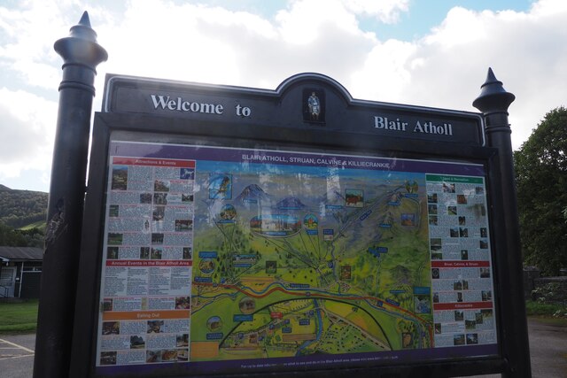
///outpost.swarm.evolves. Near Blair Atholl, Perth & Kinross

Related Wikis

Blair Castle

Blair Castle (in Scottish Gaelic: Caisteil Bhlàir) stands in its grounds near the village of Blair Atholl in Perthshire in Scotland. It is the ancestral...

Old Blair

Old Blair is a tiny village of 18th century stone houses in Perth and Kinross, Scotland, adjoining and overlooking the grounds of Blair Castle. It is...

Bridge of Tilt

Bridge of Tilt (Scottish Gaelic: Drochaid Theilt) is a village in Perthshire, Scotland, built around the River Tilt (Scottish Gaelic: Abhainn Teilt), near...

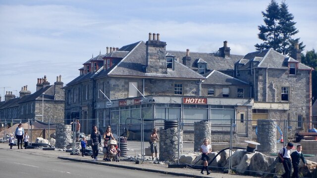
Atholl Arms Hotel, Blair Atholl

The Atholl Arms Hotel is a hotel and restaurant in Blair Atholl, Perth and Kinross, Scotland. Standing on the B8079, it is a Category C listed building...

Related Videos

Blair Atholl To Braemar Hiking

Hi Everybody. Here's a short film, from a sponsored hike myself and my mate Mike did, to help raise some much needed funds for ...

BEINN A GHLO | BLAIR ATHOLL | MUNRO BAGGING | MUNRO

A fantastic walk around the three munros of Beinn A Ghlo. A perfect day out. Please Subscribe and hit the bell and like ...

018. Failed attempt to hike up on Beinn a' Ghlò. Blair Atholl, Perthshire Scotland - Hill Walking

Video series about climbing the major mountains of the Scottish Highlands, England and Wales. Videó sorozat a Skót Felföld, ...

Nearby Amenities

Located within 500m of 56.775311,-3.8575005
Pillars of Hercules
Artwork Type: sculpture
Tourism: artwork
Lat/Long: 56.7743022/-3.8502443
Turning Circle
Lat/Long: 56.7730864/-3.8568177
Old Blair
Name Gd: Seann Bhlàr
Place: hamlet
Wikidata: Q7083482
Wikipedia: en:Old Blair
Lat/Long: 56.7768783/-3.8536478
Mount Strange
Board Type: plants
Information: board
Tourism: information
Lat/Long: 56.775969/-3.8570067
Traffic Calming: bump
Lat/Long: 56.7724592/-3.8549546
Shop: ticket
Lat/Long: 56.7725783/-3.8553559
Entrance: main
Lat/Long: 56.773462/-3.8573153
Waste Basket
Lat/Long: 56.7735536/-3.8564354
Restaurant
Addr City: Pitlochry
Addr Place: Blair Atholl
Addr Postcode: PH18 5TJ
Fhrs Id: 440216
Lat/Long: 56.773624/-3.8583893
Toilets
Lat/Long: 56.7737294/-3.8584546
Waste Basket
Lat/Long: 56.7738149/-3.8578904
Tourism: picnic_site
Lat/Long: 56.7740238/-3.8567148
Traffic Calming: bump
Lat/Long: 56.7740564/-3.857684
Hiking: yes
Information: guidepost
Tourism: information
Lat/Long: 56.7741053/-3.8575614
Waste Basket
Lat/Long: 56.7741222/-3.8569508
St Bride's Kirk
Board Type: history
Check Date: 2023-04-12
Information: board
Tourism: information
Lat/Long: 56.7760659/-3.8557044
Barrier: stile
Lat/Long: 56.7755973/-3.8526729
Bench
Lat/Long: 56.775333/-3.8499018
Bench
Lat/Long: 56.7753448/-3.8500175
Bench
Lat/Long: 56.7753586/-3.8501531
Bench
Lat/Long: 56.7753693/-3.8502578
Power: pole
Lat/Long: 56.7771532/-3.8542194
Power: pole
Lat/Long: 56.7777818/-3.8536911
Power: pole
Lat/Long: 56.7784058/-3.8532089
Power: pole
Lat/Long: 56.7756767/-3.8530074
Power: pole
Lat/Long: 56.7761352/-3.8534237
Power: pole
Lat/Long: 56.776604/-3.8537952
Power: pole
Lat/Long: 56.7756809/-3.8521157
Power: pole
Lat/Long: 56.7756165/-3.8513006
Power: pole
Lat/Long: 56.7755451/-3.8505442
Man Made: reservoir_covered
Lat/Long: 56.7750556/-3.8570695
Barrier: toll_booth
Payment Cards: yes
Lat/Long: 56.7729098/-3.8554808
Target Park
Leisure: park
Lat/Long: 56.7726753/-3.8509678
The data included in this document is from www.openstreetmap.org. The data is made available under ODbL.

Have you been to Diana's Grove?

Leave your review of Diana's Grove below (or comments, questions and feedback).