Blair, Old
Settlement in Perthshire
Scotland
Blair, Old

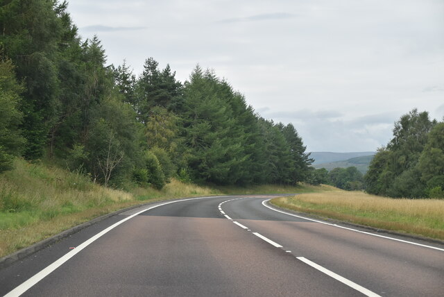
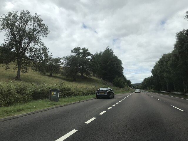
Blair, Old is a small village located in Perthshire, Scotland. Situated approximately 10 miles northwest of the town of Perth, it is nestled within the picturesque surroundings of the Scottish countryside. The village is known for its rich history, dating back several centuries.
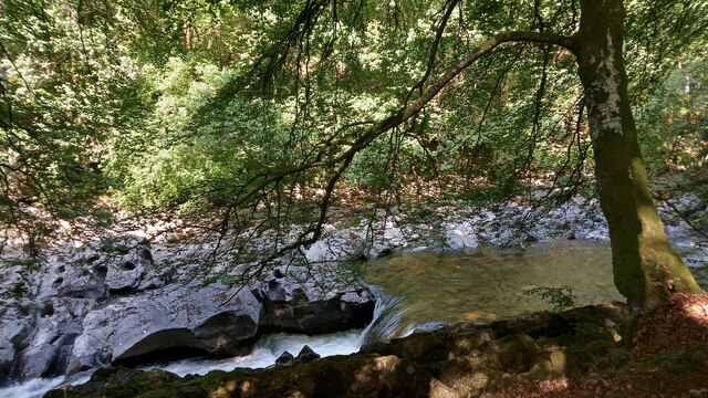
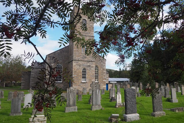
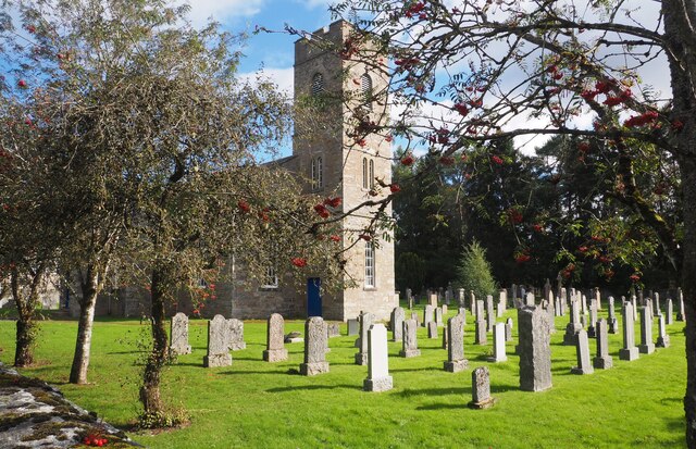
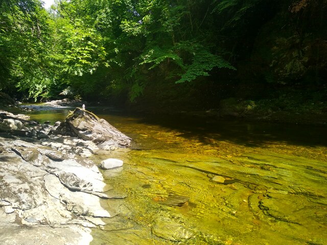
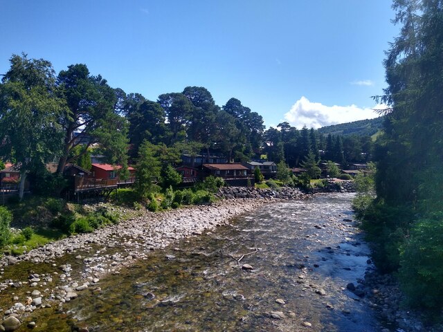
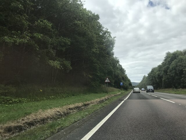
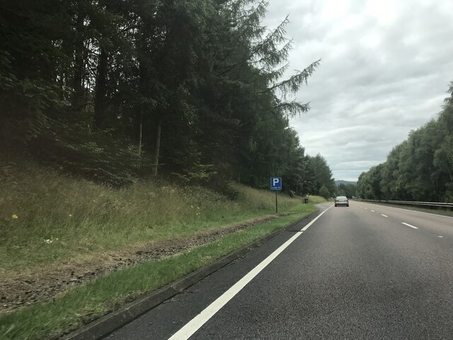
Blair, Old is home to a handful of traditional stone-built houses and cottages, which add to its quaint charm. The village is surrounded by rolling hills and lush green fields, making it a popular destination for nature enthusiasts and those seeking a peaceful retreat.
One of the notable landmarks in Blair, Old is the Blair Castle, a historic fortress that dates back to the 13th century. The castle, which is open to the public, offers visitors a glimpse into the region's past, with its grand architecture and well-preserved interiors. The castle is set within expansive grounds that include a beautiful garden and woodland trails.
The village also boasts a small, close-knit community, with a handful of local amenities such as a village hall, a primary school, and a local shop. The residents of Blair, Old take great pride in maintaining the village's heritage and preserving its natural beauty.
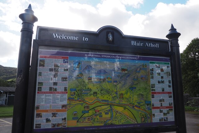
For those looking to explore further afield, the nearby town of Pitlochry offers a range of attractions, including distilleries, art galleries, and outdoor activities such as hiking and fishing. Additionally, Blair, Old is conveniently located within driving distance of some of Scotland's most stunning landscapes, including Loch Tay and the Cairngorms National Park.
Overall, Blair, Old is a peaceful and charming village that offers a perfect blend of history, natural beauty, and Scottish hospitality.
If you have any feedback on the listing, please let us know in the comments section below.
Blair, Old Images
Images are sourced within 2km of 56.771586/-3.8668896 or Grid Reference NN8666. Thanks to Geograph Open Source API. All images are credited.


Blair, Old is located at Grid Ref: NN8666 (Lat: 56.771586, Lng: -3.8668896)
Unitary Authority: Perth and Kinross
Police Authority: Tayside
What 3 Words
///motoring.roofs.speeding. Near Blair Atholl, Perth & Kinross
Nearby Locations
Related Wikis

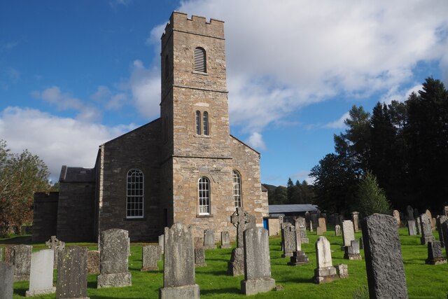
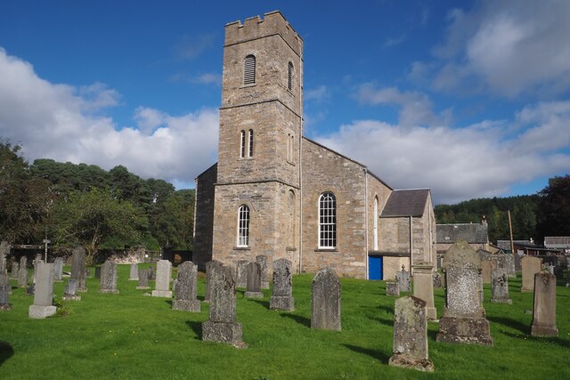
Old Blair
Old Blair is a tiny village of 18th century stone houses in Perth and Kinross, Scotland, adjoining and overlooking the grounds of Blair Castle. It is...

Black Island Platform railway station
Black Island Platform railway station, Blair Atholl, Perth and Kinross, Scotland, was located at an area known as the Black Island beside the River Garry...

Blair Castle
Blair Castle (in Scottish Gaelic: Caisteil Bhlàir) stands in its grounds near the village of Blair Atholl in Perthshire in Scotland. It is the ancestral...
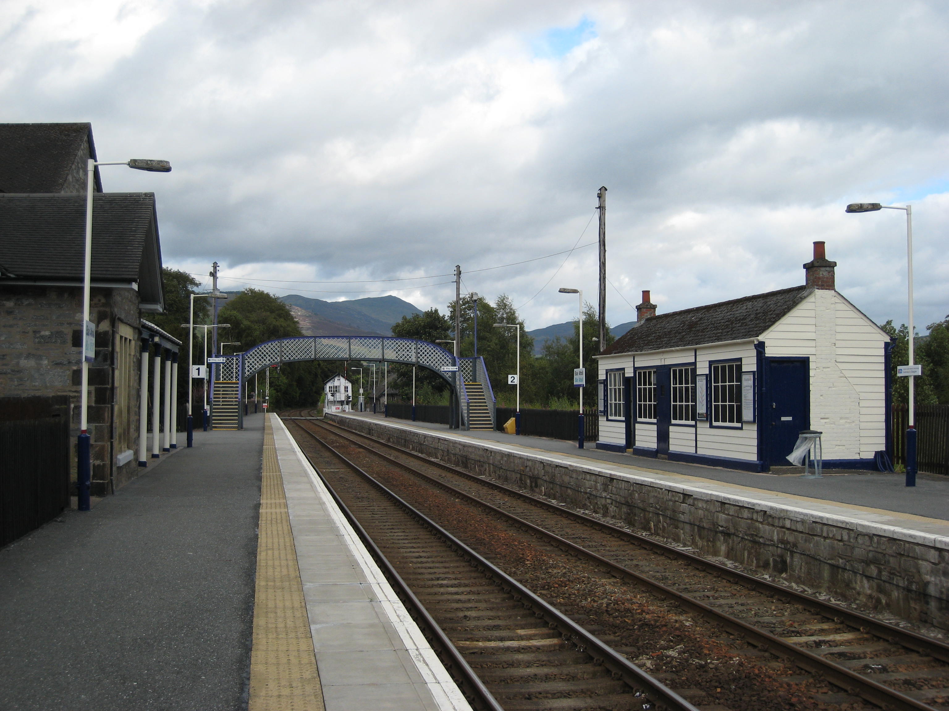
Blair Atholl railway station
Blair Atholl railway station is a railway station serving the town of Blair Atholl, Perth and Kinross, Scotland. The station is managed by ScotRail and...

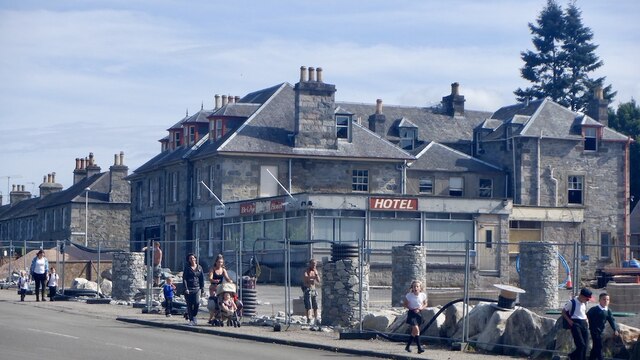
Atholl Arms Hotel, Blair Atholl
The Atholl Arms Hotel is a hotel and restaurant in Blair Atholl, Perth and Kinross, Scotland. Standing on the B8079, it is a Category C listed building...
Blair Atholl Watermill
Blair Atholl Watermill is Scotland's oldest working watermill, located in Blair Atholl, Perth and Kinross, and dating to around 1830. There has been a...

Bridge of Tilt
Bridge of Tilt (Scottish Gaelic: Drochaid Theilt) is a village in Perthshire, Scotland, built around the River Tilt (Scottish Gaelic: Abhainn Teilt), near...

Blair Atholl
Blair Atholl (from the Scottish Gaelic: Blàr Athall, originally Blàr Ath Fhodla) is a village in Perthshire, Scotland, built about the confluence of the...
Nearby Amenities
Located within 500m of 56.771586,-3.8668896Have you been to Blair, Old?
Leave your review of Blair, Old below (or comments, questions and feedback).