Blair Castle
Heritage Site in Perthshire
Scotland
Blair Castle
Blair Castle, located in the picturesque town of Blair Atholl in Perthshire, Scotland, is a historic and significant heritage site. With a history dating back over seven centuries, it has evolved from a medieval stronghold into an elegant and grand castle.
The castle, owned by the Murray family, is a stunning example of Scottish baronial architecture. It boasts a distinctive white exterior, turreted towers, and beautiful landscaped gardens that surround the property. The castle's interior is equally impressive, filled with opulent rooms, intricate woodwork, and antique furniture.
Visitors to Blair Castle have the opportunity to explore the castle's numerous rooms, each showcasing different periods of its history. Notable highlights include the grand ballroom, the drawing room with its stunning ceiling artwork, and the portrait gallery displaying portraits of the Murray family through the ages.
Beyond the castle itself, the estate encompasses over 145,000 acres of stunning Scottish countryside. Visitors can wander through the extensive gardens, enjoying the vibrant floral displays and tranquil woodland walks. The estate is also home to a deer park, where red deer roam freely.
Blair Castle offers a range of activities for visitors to enjoy, including guided tours, archery lessons, and even a chance to participate in traditional Scottish games. The castle also hosts various events throughout the year, such as Highland games and pipe band performances, providing visitors with a taste of Scottish culture.
Overall, Blair Castle is a magnificent heritage site that offers visitors a fascinating glimpse into Scotland's rich and storied past. Its stunning architecture, beautiful grounds, and historical significance make it a must-visit destination in Perthshire.
If you have any feedback on the listing, please let us know in the comments section below.
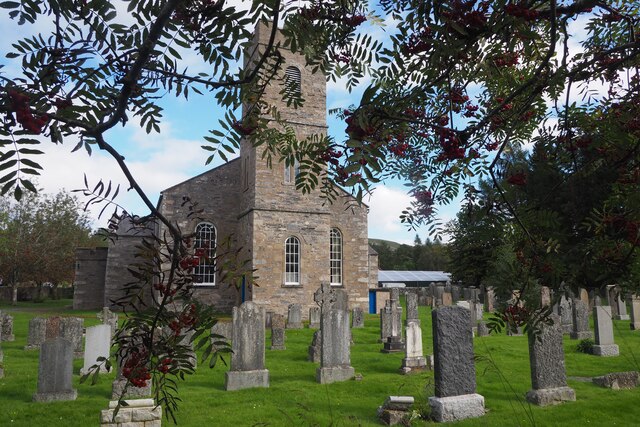
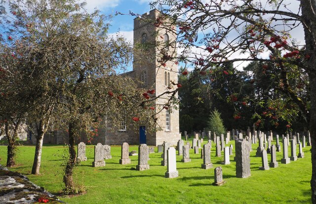
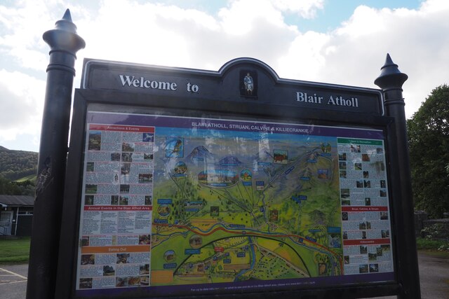
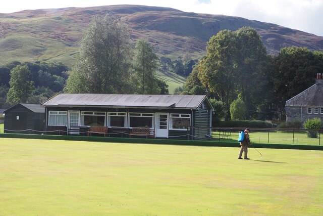
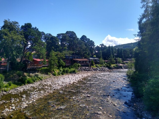
Blair Castle Images
Images are sourced within 2km of 56.777/-3.858 or Grid Reference NN8666. Thanks to Geograph Open Source API. All images are credited.

Blair Castle is located at Grid Ref: NN8666 (Lat: 56.777, Lng: -3.858)
Unitary Authority: Perth and Kinross
Police Authority: Tayside
What 3 Words
///ounce.sooner.tissue. Near Blair Atholl, Perth & Kinross
Nearby Locations
Related Wikis

Blair Castle
Blair Castle (in Scottish Gaelic: Caisteil Bhlàir) stands in its grounds near the village of Blair Atholl in Perthshire in Scotland. It is the ancestral...

Old Blair
Old Blair is a tiny village of 18th century stone houses in Perth and Kinross, Scotland, adjoining and overlooking the grounds of Blair Castle. It is...

Bridge of Tilt
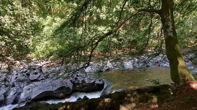
Bridge of Tilt (Scottish Gaelic: Drochaid Theilt) is a village in Perthshire, Scotland, built around the River Tilt (Scottish Gaelic: Abhainn Teilt), near...

Black Island Platform railway station
Black Island Platform railway station, Blair Atholl, Perth and Kinross, Scotland, was located at an area known as the Black Island beside the River Garry...

Blair Atholl
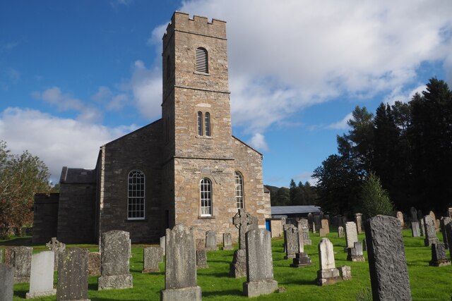
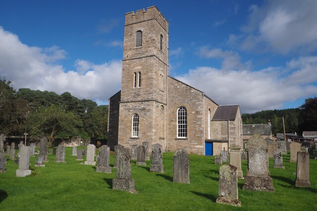
Blair Atholl (from the Scottish Gaelic: Blàr Athall, originally Blàr Ath Fhodla) is a village in Perthshire, Scotland, built about the confluence of the...

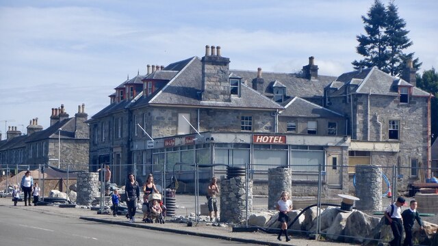
Atholl Arms Hotel, Blair Atholl
The Atholl Arms Hotel is a hotel and restaurant in Blair Atholl, Perth and Kinross, Scotland. Standing on the B8079, it is a Category C listed building...
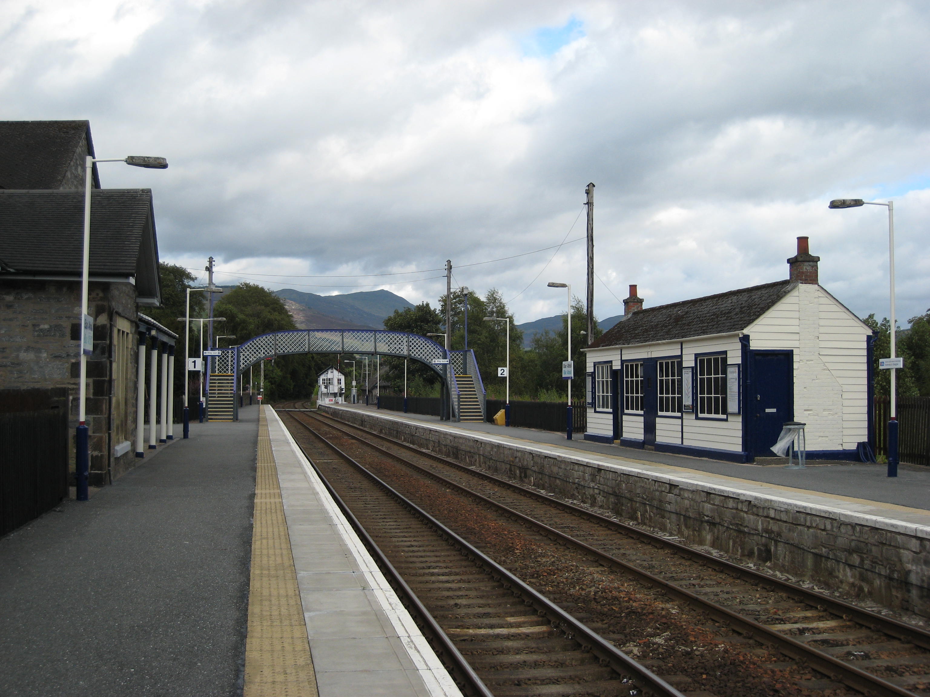
Blair Atholl railway station
Blair Atholl railway station is a railway station serving the town of Blair Atholl, Perth and Kinross, Scotland. The station is managed by ScotRail and...
Blair Atholl Watermill
Blair Atholl Watermill is Scotland's oldest working watermill, located in Blair Atholl, Perth and Kinross, and dating to around 1830. There has been a...
Nearby Amenities
Located within 500m of 56.777,-3.858Have you been to Blair Castle?
Leave your review of Blair Castle below (or comments, questions and feedback).