Blair
Heritage Site in Ayrshire
Scotland
Blair
Blair, Ayrshire is a small village located in South Ayrshire, Scotland. It is known for its rich heritage and historical significance, attracting visitors from all over the world. The village is nestled amidst picturesque countryside, offering breathtaking views and a tranquil ambiance.
Blair is particularly famous for its historic landmarks and heritage sites. One of the most prominent attractions in the area is Blair Castle, a magnificent fortress dating back to the 13th century. The castle stands as a testament to the region's medieval history and has been well-preserved, allowing visitors to explore its grand halls, extensive grounds, and fascinating exhibits.
Another significant heritage site in Blair is the Blair House, a fine example of Georgian architecture. Built in the 18th century, the house showcases the elegance and grandeur of the era. Visitors can take guided tours to learn about its history and admire the exquisite interior design.
Nature enthusiasts will also find Blair appealing, as it is surrounded by stunning landscapes and offers numerous outdoor activities. The village is situated near the beautiful Galloway Forest Park, providing ample opportunities for hiking, cycling, and wildlife spotting. Additionally, the nearby Loch Doon offers a peaceful retreat for fishing and boating enthusiasts.
Blair, Ayrshire, is a delightful destination for those seeking an immersive experience in Scottish history and natural beauty. With its well-preserved heritage sites and breathtaking surroundings, it continues to captivate visitors with its charm and allure.
If you have any feedback on the listing, please let us know in the comments section below.
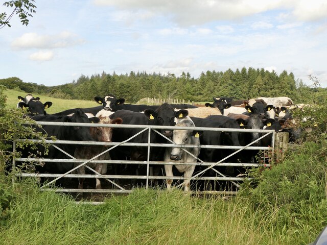
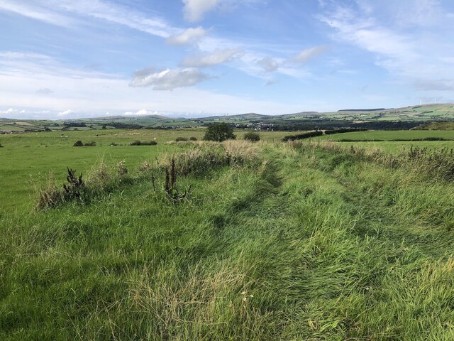
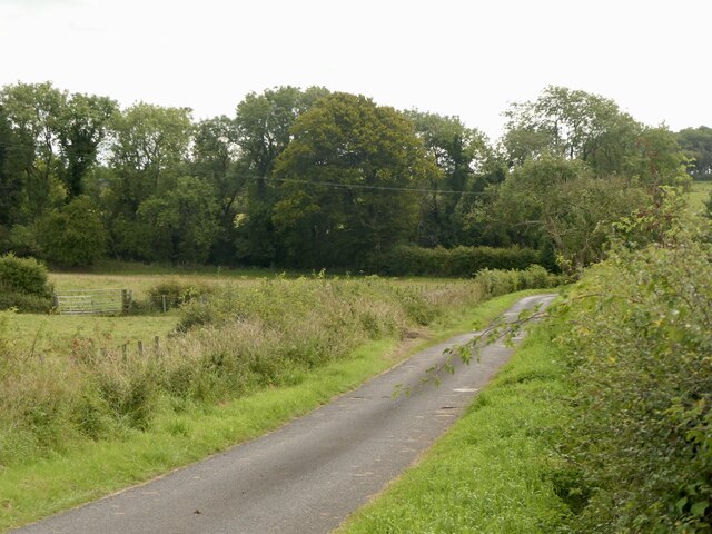
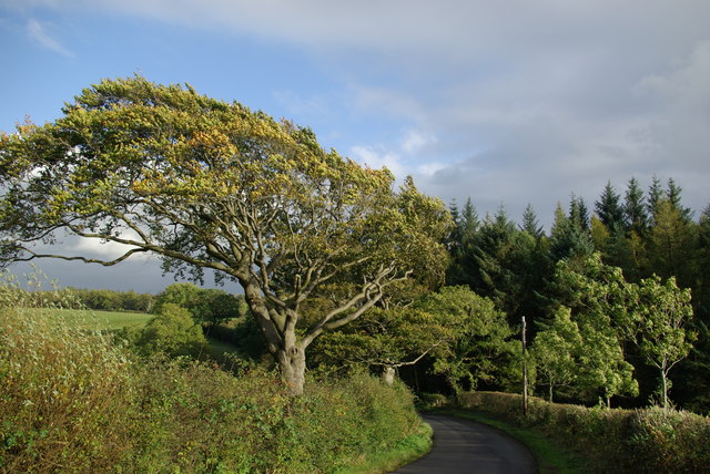
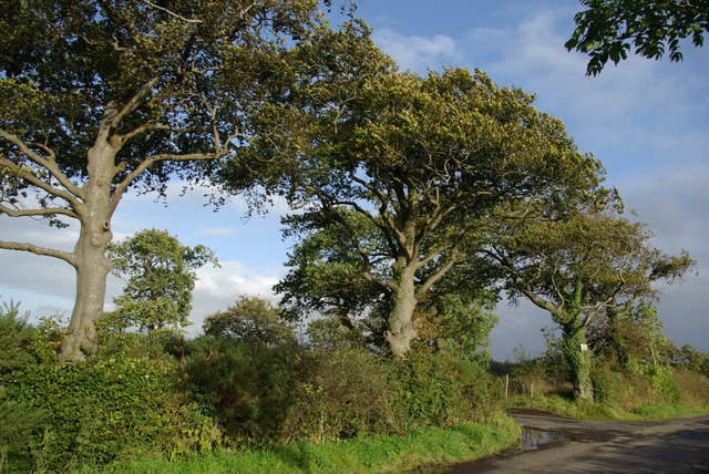
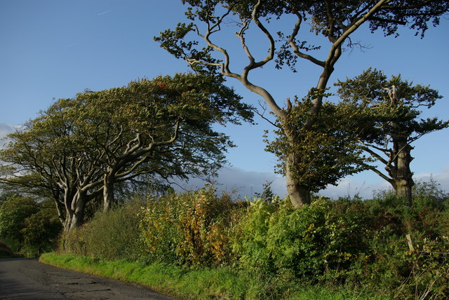
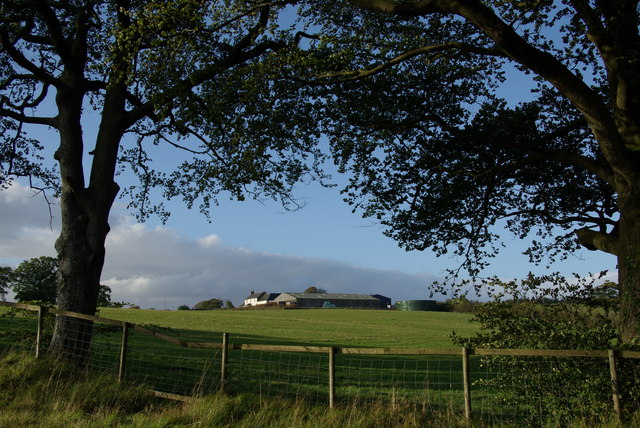
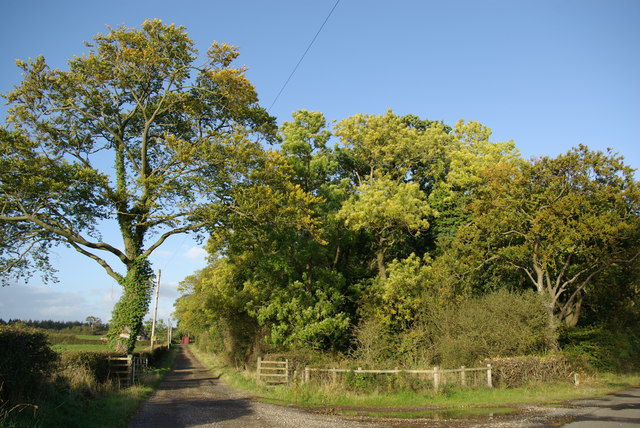
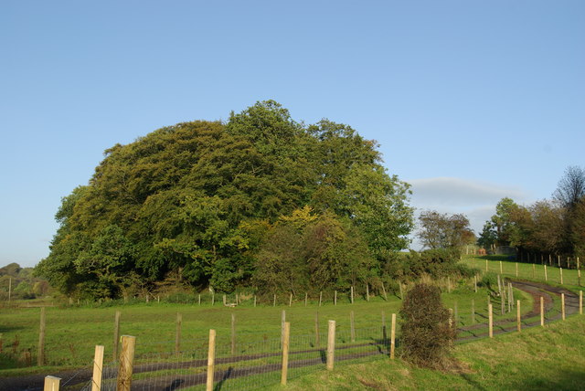
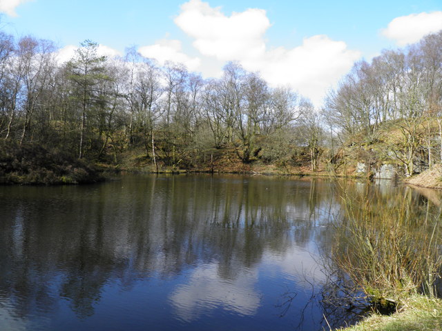
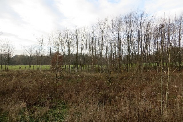
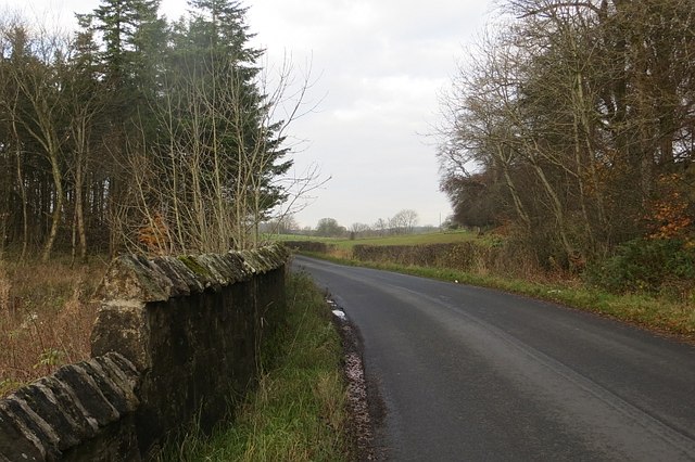
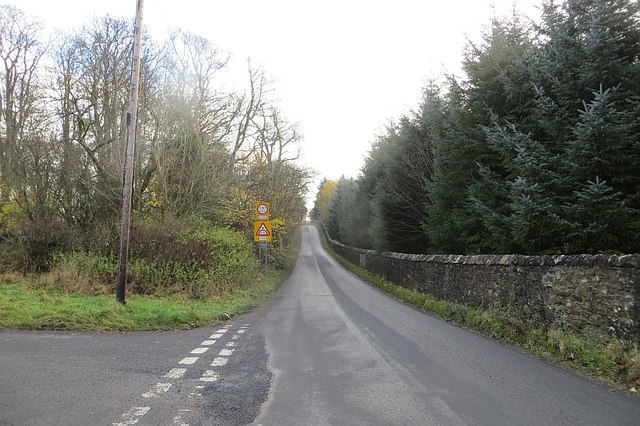
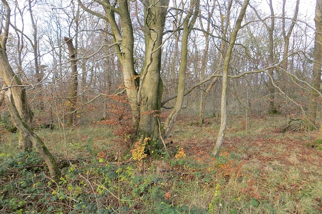
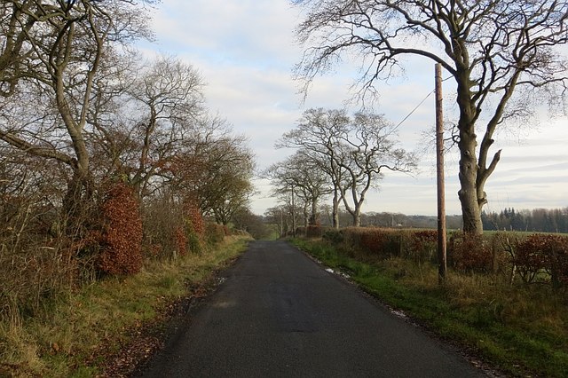
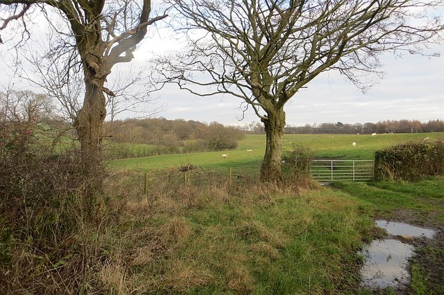
Blair Images
Images are sourced within 2km of 55.692/-4.697 or Grid Reference NS3047. Thanks to Geograph Open Source API. All images are credited.


Blair is located at Grid Ref: NS3047 (Lat: 55.692, Lng: -4.697)
Unitary Authority: North Ayrshire
Police Authority: Ayrshire
What 3 Words
///performed.shared.costs. Near Dalry, North Ayrshire
Nearby Locations
Related Wikis

Dalry Junction railway station
Dalry Junction railway station was a railway station near the town of Dalry, North Ayrshire, Scotland. The station was originally part of the Glasgow,...
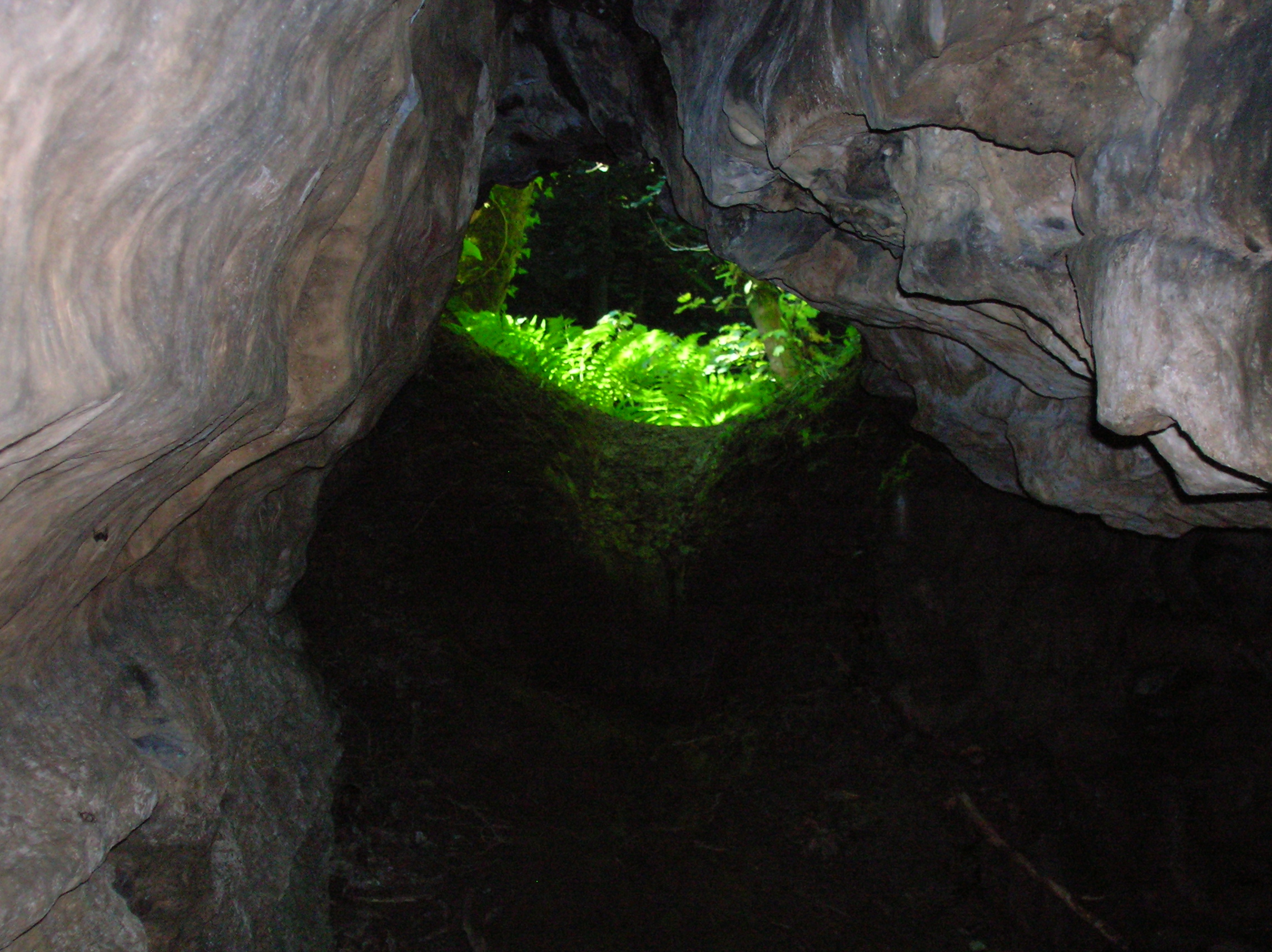
Cleeves Cove
Cleeves Cove or Blair Cove is a solutional cave system on the Dusk Water in North Ayrshire, Scotland, close to the town of Dalry. == Cave system == The...

Caaf Water
The Caaf Water in western Scotland (Keaff in 1747 also Caff) drains from the Caaf Reservoir above Dalry which is fed from Knockendon Reservoir. The Caaf...

Monkcastle, North Ayrshire
Monkcastle, Monk Castle sometimes known as Old Monkcastle formed a small estate in the Parish of Kilwinning, North Ayrshire lying between Kilwinning and...

Dalry railway station
Dalry railway station is a railway station serving the town of Dalry, North Ayrshire, Scotland. The station is managed by ScotRail and is on the Ayrshire...
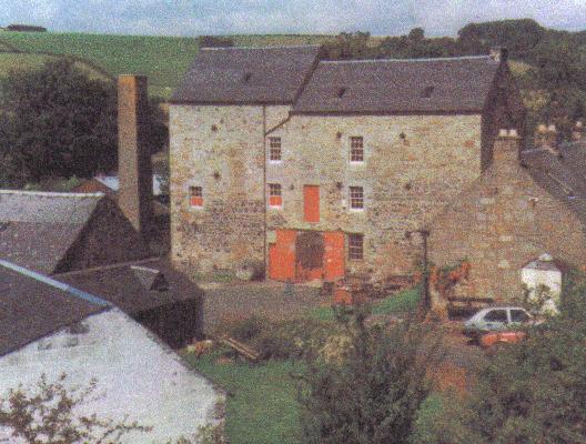
Dalgarven Mill – Museum of Ayrshire Country Life and Costume
Dalgarven Mill is near Kilwinning, in the Garnock Valley, North Ayrshire, Scotland and it is home to the Museum of Ayrshire Country Life and Costume. The...

Dalgarven
The tiny village of Dalgarven in North Ayrshire, Scotland is located just north of Kilwinning on the road to Dalry. == History == In 1881 some two hundred...

Lissens Goods station
Lissens Goods station or Lissens Sidings station was a railway freight facility located approximately two miles north-east of Kilwinning, North Ayrshire...
Nearby Amenities
Located within 500m of 55.692,-4.697Have you been to Blair?
Leave your review of Blair below (or comments, questions and feedback).