Blackstone's Low

Heritage Site in Derbyshire

England

Blackstone's Low

Minninglow Concession Route There is no public footpath to the top of Minninglow but this concession route allows access for walkers.
Minninglow Concession Route Credit: Ian Calderwood

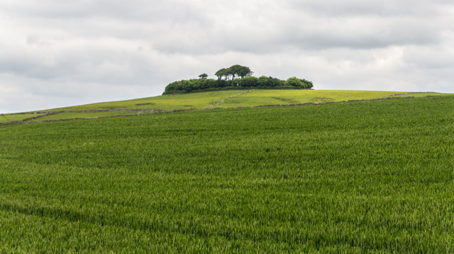
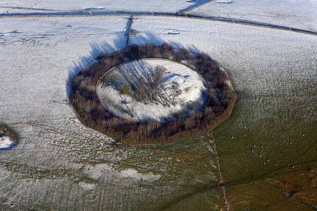
Blackstone's Low, located in Derbyshire, England, is a historically significant site that holds great cultural and archaeological importance. This heritage site is an ancient burial mound, also known as a barrow or tumulus, which dates back to the Bronze Age. It is situated on a hilltop, offering stunning panoramic views of the surrounding landscape.

The barrow at Blackstone's Low is estimated to be around 4,000 years old, making it one of the oldest known burial sites in the region. The mound is approximately 30 meters in diameter and 3 meters high, consisting of layers of compacted earth and stones. The structure is believed to have been built to bury important individuals or groups during the Bronze Age, reflecting the significance of the site in ancient times.

Archaeological excavations have revealed the presence of burial chambers within the mound, suggesting that it was used for multiple internments. Various artifacts, including pottery, flint tools, and human remains, have been discovered at the site, providing valuable insights into the lives and burial customs of the Bronze Age people who inhabited the area.

Blackstone's Low has been designated as a Scheduled Ancient Monument, ensuring its protection and preservation for future generations. The site is now open to the public, allowing visitors to explore its historical significance and appreciate the stunning natural scenery that surrounds it. Interpretive panels and information boards are available to provide visitors with a deeper understanding of the site's history and archaeological findings.

Overall, Blackstone's Low is a remarkable heritage site that offers a fascinating glimpse into the ancient past of Derbyshire, attracting history enthusiasts, archaeologists, and nature lovers alike.

If you have any feedback on the listing, please let us know in the comments section below.

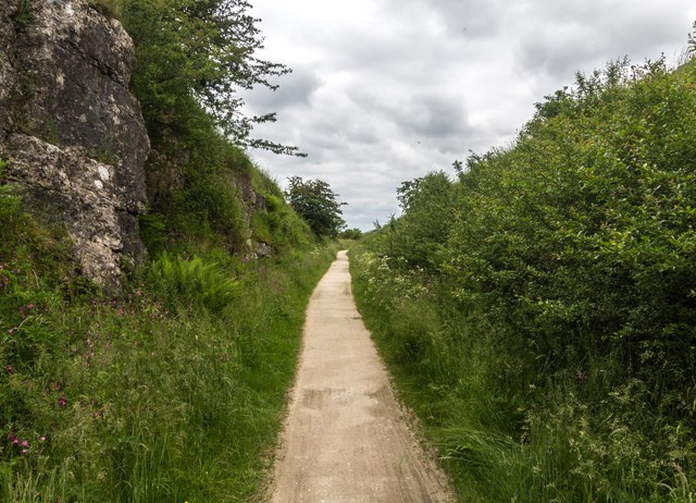
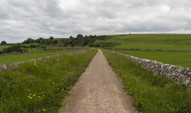
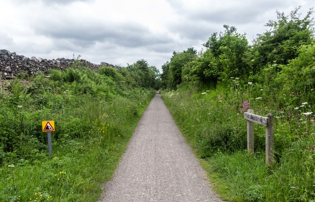
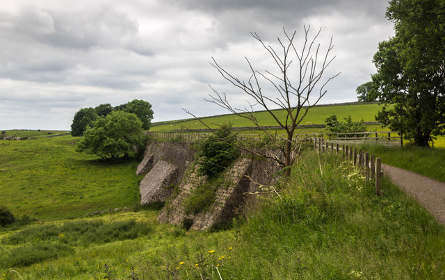
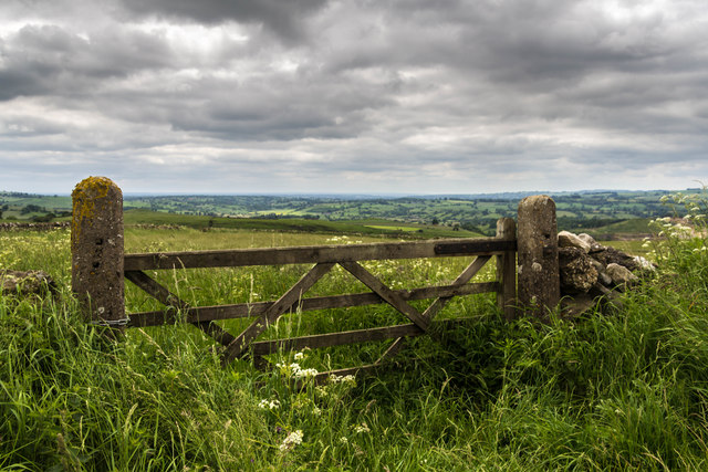
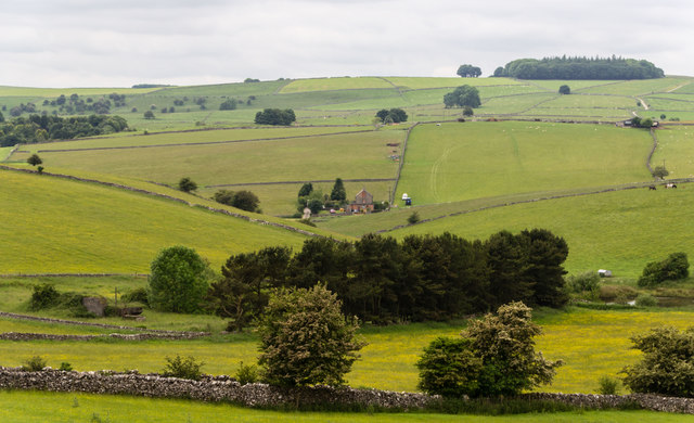
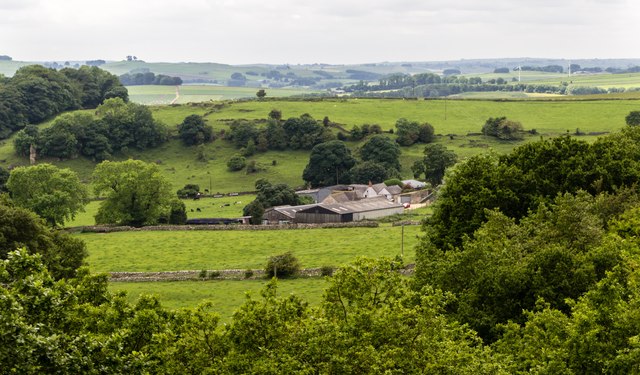
Blackstone's Low Images

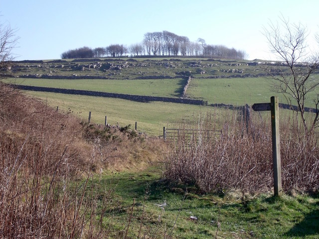
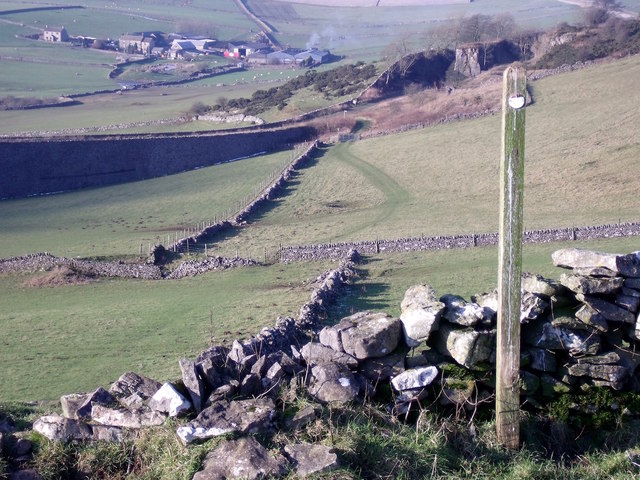
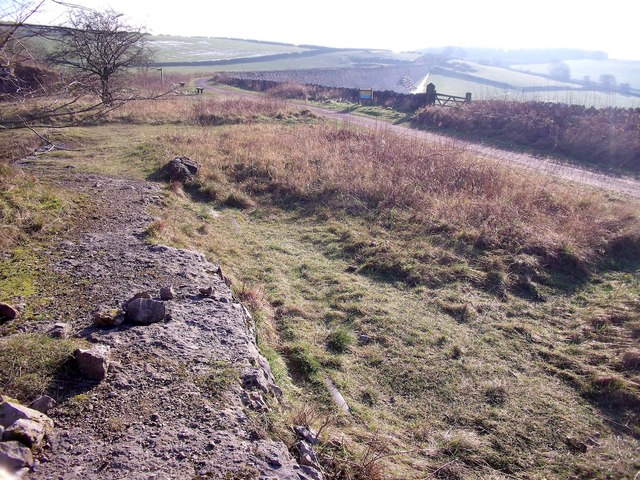
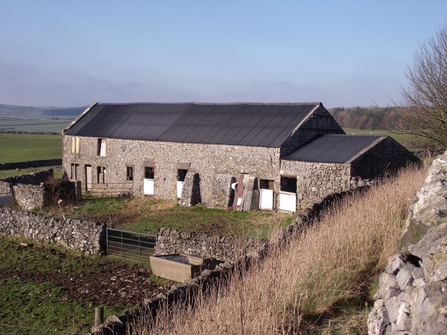
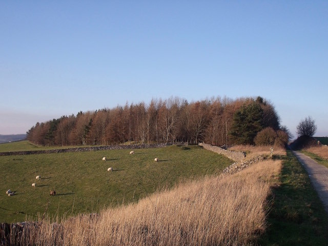
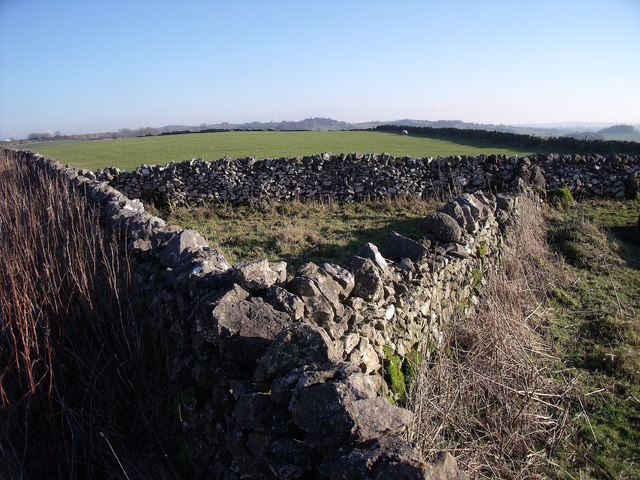
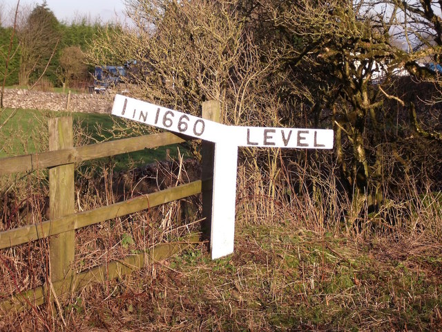
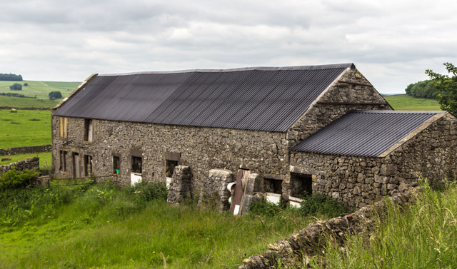
Images are sourced within 2km of 53.097/-1.693 or Grid Reference SK2055. Thanks to Geograph Open Source API. All images are credited.

Minninglow Concession Route There is no public footpath to the top of Minninglow but this concession route allows access for walkers.
Minninglow Concession Route
There is no public footpath to the top of Minninglow but this concession route allows access for walkers.
Minninglow Concession Route from above Looking back down the concession route up Minninglow Hill to the High Peak Trail. There is no public footpath to the top of Minninglow but this concession path provides access for walkers.
Minninglow Concession Route from above
Looking back down the concession route up Minninglow Hill to the High Peak Trail. There is no public footpath to the top of Minninglow but this concession path provides access for walkers.
Minninglow Quarry siding The rails left in-situ can still be seen peeping through the turf on the line of the former quarry siding off the Cromford & High Peak Railway.
Minninglow Quarry siding
The rails left in-situ can still be seen peeping through the turf on the line of the former quarry siding off the Cromford & High Peak Railway.
Daisy Bank On the 1880 Ordnance Survey Map, this is marked as Ballidonmoor Barn.
Daisy Bank
On the 1880 Ordnance Survey Map, this is marked as Ballidonmoor Barn.
The former Royston Grange Quarries The diagonal wall in the foreground shows the line of the railway that lead into the quarries.
The former Royston Grange Quarries
The diagonal wall in the foreground shows the line of the railway that lead into the quarries.
Triangular sheepfold This sheepfold has been here since at least 1880, when it appeared on Ordnance Survey maps.
Triangular sheepfold
This sheepfold has been here since at least 1880, when it appeared on Ordnance Survey maps.
The former Jug and Glass Only the shadow of the former pub sign remains to indicate that this used to be the Jug & Glass public house.
The former Jug and Glass
Only the shadow of the former pub sign remains to indicate that this used to be the Jug & Glass public house.
The gradient post at Longcliffe Station
Daisy Bank Barn at Daisy Bank seen from the High Peak Trail.
Daisy Bank
Barn at Daisy Bank seen from the High Peak Trail.
High Peak Trail The High Peak Trail near Roystone Grange Quarries.
High Peak Trail
The High Peak Trail near Roystone Grange Quarries.
Longcliffe Station building at Longcliffe.
Longcliffe
Station building at Longcliffe.
High Peak Trail The High Peak Trail near Minninglow Quarry.
High Peak Trail
The High Peak Trail near Minninglow Quarry.
High Peak Trail The High Peak Trail near Longcliffe.
High Peak Trail
The High Peak Trail near Longcliffe.
High Peak Trail The High Peak Trail.
High Peak Trail
The High Peak Trail.
High Peak Trail Gate alongside the High Peak Trail.
High Peak Trail
Gate alongside the High Peak Trail.
Minninglow View from the High Peak Trail.
Minninglow
View from the High Peak Trail.
Minninglow Hill
Minninglow Hill
Hoe Grange Hoe Grange Farm.
Hoe Grange
Hoe Grange Farm.
Show me another place!

Blackstone's Low is located at Grid Ref: SK2055 (Lat: 53.097, Lng: -1.693)

What 3 Words

///activism.posting.soups. Near Newhaven, Derbyshire

Nearby Locations

Blackstone's Low

Related Wikis

Ballidon

Ballidon is a village and civil parish in the Derbyshire Dales district of Derbyshire, England, on the edge of the Peak District National Park. According...

All Saints Church, Ballidon

All Saints Church is a redundant Anglican church located to the south of the village of Ballidon, Derbyshire, England. It is recorded in the National...

Ballidon Dale

Ballidon Dale is a steep-sided, dry carboniferous limestone valley near Parwich in the Derbyshire Peak District of England. The ancient hamlet of Ballidon...

Minninglow

Minninglow (or Minning Low) is a hill in the Peak District National Park in Derbyshire, located within the White Peak area at grid reference SK209573....

Nearby Amenities

Located within 500m of 53.097,-1.693
Barrier: entrance
Source: survey;gps
Lat/Long: 53.0985278/-1.6941801
Barrier: cattle_grid
Bicycle: yes
Foot: yes
Motorcar: yes
Motorcycle: yes
Lat/Long: 53.0953651/-1.6965661
The data included in this document is from www.openstreetmap.org. The data is made available under ODbL.

Have you been to Blackstone's Low?

Leave your review of Blackstone's Low below (or comments, questions and feedback).