Bailanloan
Settlement in Perthshire
Scotland
Bailanloan
Bailanloan is a small village located in the picturesque region of Perthshire, Scotland. Situated in the heart of the country, this charming village offers stunning natural beauty and a peaceful atmosphere. With a population of around 200 residents, Bailanloan is a close-knit community that prides itself on its friendly and welcoming nature.
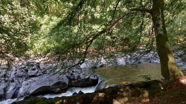
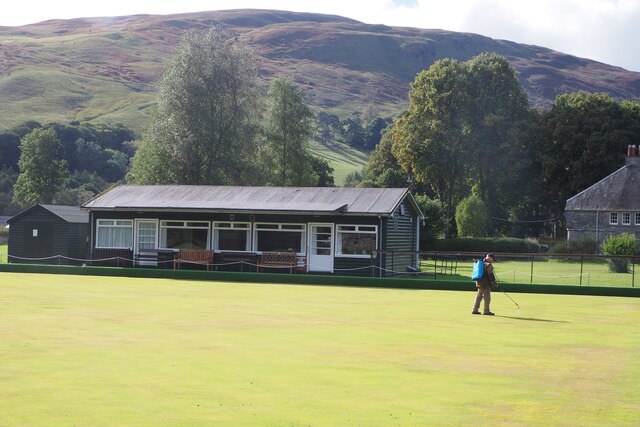
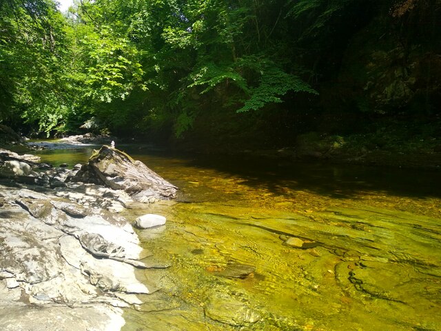
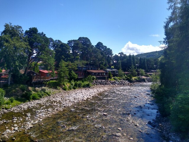
Surrounded by rolling hills and lush countryside, Bailanloan is a haven for outdoor enthusiasts. The village is known for its scenic walking trails, offering breathtaking views of the surrounding landscape. The nearby River Tay also provides opportunities for fishing and water sports.
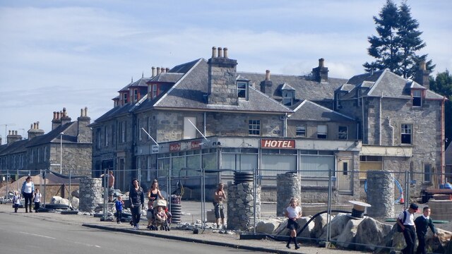
Despite its small size, Bailanloan is well-served by local amenities. The village has a small convenience store, a post office, and a local pub, where residents can gather and socialize. For more extensive shopping and entertainment options, the town of Perth is just a short drive away.
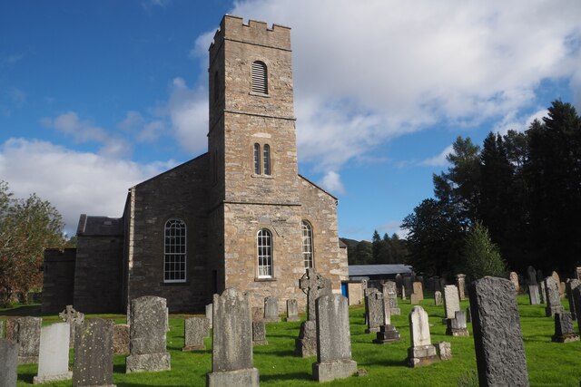
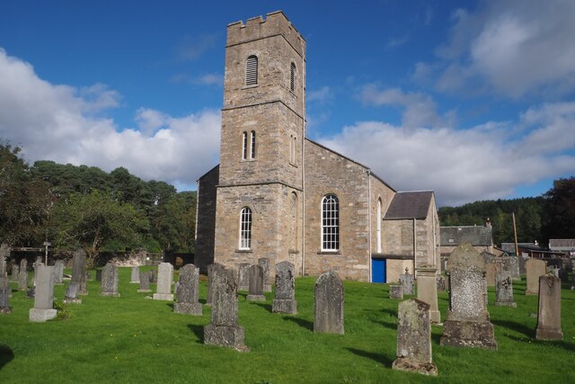
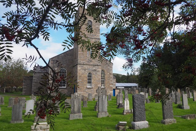
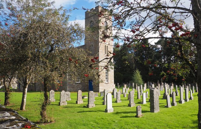
Bailanloan is also steeped in history, with several notable landmarks in the area. The village is home to the historic Dunkeld Cathedral, a stunning medieval church that attracts visitors from all over the world. The nearby Hermitage, a beautiful forested area with a picturesque waterfall, is another popular attraction.
Overall, Bailanloan offers a peaceful and idyllic setting for those seeking a rural retreat. With its natural beauty, friendly community, and rich history, this small village is a hidden gem in the heart of Perthshire.
If you have any feedback on the listing, please let us know in the comments section below.
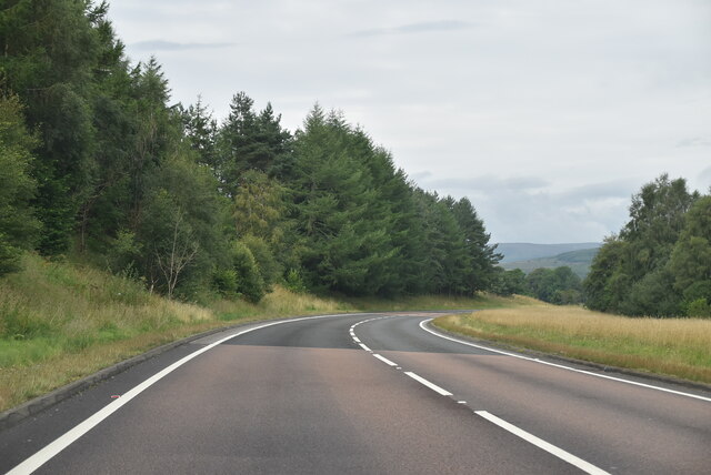
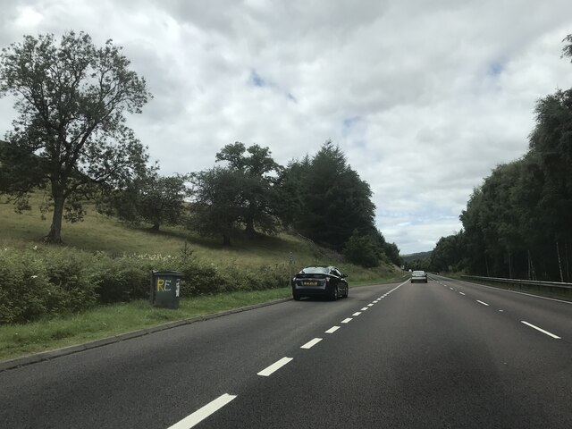
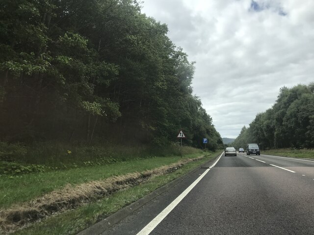
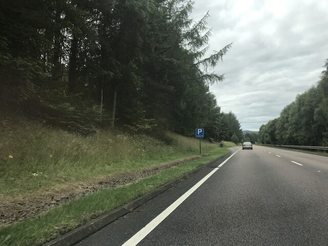
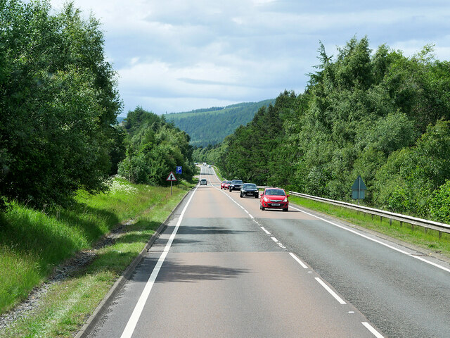
Bailanloan Images
Images are sourced within 2km of 56.771586/-3.8668896 or Grid Reference NN8666. Thanks to Geograph Open Source API. All images are credited.


Bailanloan is located at Grid Ref: NN8666 (Lat: 56.771586, Lng: -3.8668896)
Unitary Authority: Perth and Kinross
Police Authority: Tayside
What 3 Words
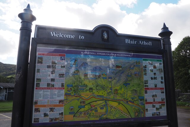
///motoring.roofs.speeding. Near Blair Atholl, Perth & Kinross
Nearby Locations
Related Wikis

Old Blair
Old Blair is a tiny village of 18th century stone houses in Perth and Kinross, Scotland, adjoining and overlooking the grounds of Blair Castle. It is...

Black Island Platform railway station
Black Island Platform railway station, Blair Atholl, Perth and Kinross, Scotland, was located at an area known as the Black Island beside the River Garry...

Blair Castle
Blair Castle (in Scottish Gaelic: Caisteil Bhlàir) stands in its grounds near the village of Blair Atholl in Perthshire in Scotland. It is the ancestral...
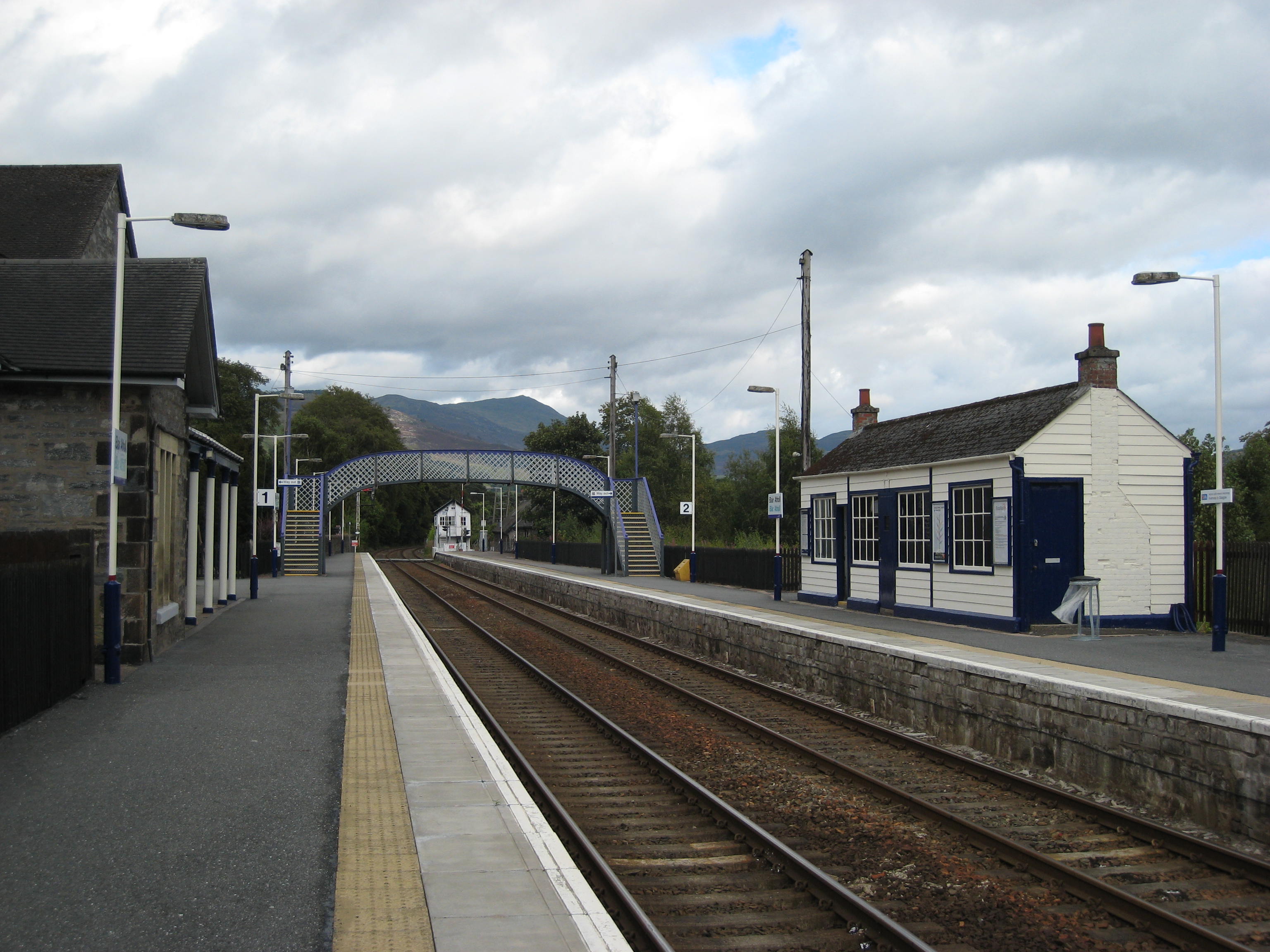
Blair Atholl railway station
Blair Atholl railway station is a railway station serving the town of Blair Atholl, Perth and Kinross, Scotland. The station is managed by ScotRail and...
Nearby Amenities
Located within 500m of 56.771586,-3.8668896Have you been to Bailanloan?
Leave your review of Bailanloan below (or comments, questions and feedback).