Home Wood

Wood, Forest in Stirlingshire

Scotland

Home Wood

North edge of Lennoxtown Seen from North Birbiston Road.
North edge of Lennoxtown Credit: Stephen Sweeney

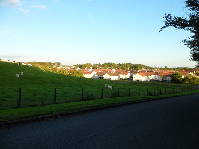
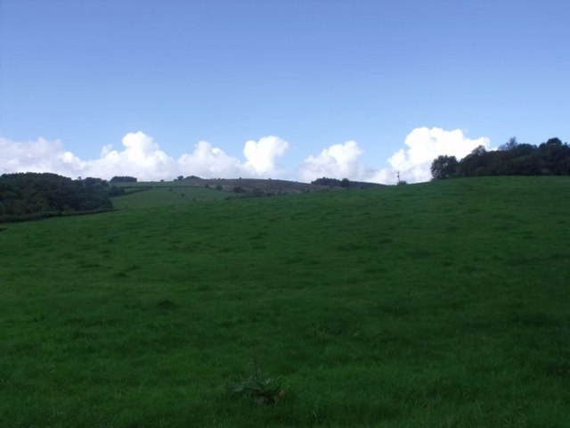
Home Wood is a beautiful forest located in Stirlingshire, Scotland. Covering an area of approximately 100 acres, it is a haven for nature lovers and outdoor enthusiasts. The wood is predominantly made up of native broadleaf trees, including oak, birch, and ash, creating a diverse and vibrant ecosystem.

The forest is known for its rich biodiversity, providing a habitat for a wide range of wildlife. Visitors can spot various bird species such as woodpeckers, thrushes, and owls, as well as mammals like red squirrels, foxes, and deer. The wood is also home to several rare and protected species, including the Scottish wildcat, making it an important conservation area.

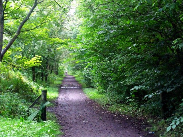
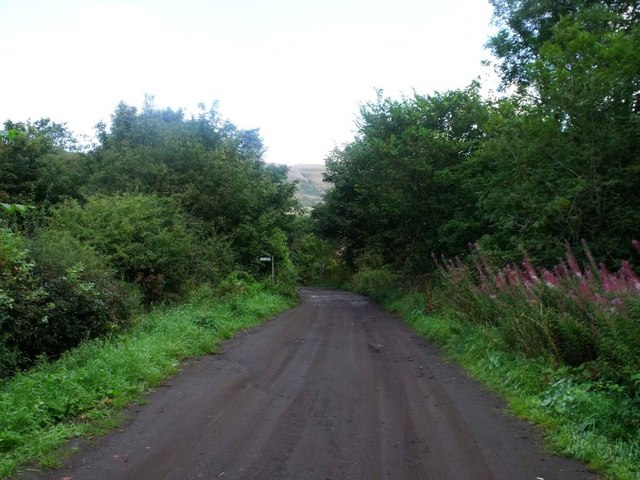
Home Wood offers a network of well-maintained walking trails, allowing visitors to explore the forest at their own pace. The paths wind through enchanting glades, alongside babbling streams, and up gentle slopes, offering stunning views of the surrounding countryside. There are also picnic areas and benches scattered throughout the wood, providing the perfect spots to relax and enjoy the tranquility of nature.

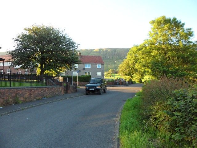
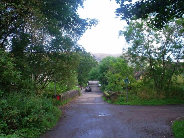
The forest is easily accessible, with a car park located nearby, and is a popular destination for local residents and tourists alike. It offers a peaceful retreat from the hustle and bustle of everyday life, providing an opportunity to reconnect with nature and enjoy the beauty of the Scottish countryside.

If you have any feedback on the listing, please let us know in the comments section below.
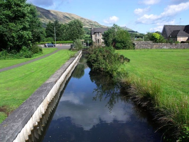
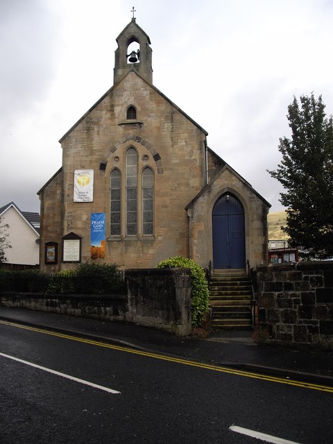
Home Wood Images

Images are sourced within 2km of 55.97304/-4.1762692 or Grid Reference NS6477. Thanks to Geograph Open Source API. All images are credited.

North edge of Lennoxtown Seen from North Birbiston Road.
North edge of Lennoxtown
Seen from North Birbiston Road.
Bencloich Crescent, Lennoxtown Stunningly set beneath the Campsie Fells.
Bencloich Crescent, Lennoxtown
Stunningly set beneath the Campsie Fells.
Public path behind Lennoxtown A lot of work going on around here - I think it may be a new housing development.
Public path behind Lennoxtown
A lot of work going on around here - I think it may be a new housing development.
North Birbiston Road, Lennoxtown
Approaching Lennoxtown on the B822 From the south.
Approaching Lennoxtown on the B822
From the south.
Lennoxtown, Glazert Water
Lennoxtown, path to Milton of Campsie Follows the old track of the LNER railway which connected Kirkintilloch with the near north.
Lennoxtown, path to Milton of Campsie
Follows the old track of the LNER railway which connected Kirkintilloch with the near north.
Lennoxtown, road, paths and bridge The path from Strathblane to Kirkintilloch crosses the scene and the bridge over the Glazert leads into the town via Chestnut Walk seen in the distance.
Lennoxtown, road, paths and bridge
The path from Strathblane to Kirkintilloch crosses the scene and the bridge over the Glazert leads into the town via Chestnut Walk seen in the distance.
Lennoxtown, road from Finniescroft Wood
Lennoxtown, South Brae View towards the South Brae area.
Lennoxtown, South Brae
View towards the South Brae area.
Lennoxtown, Crosshill Street A George VI letter box for the Geograph collection of such things.
Lennoxtown, Crosshill Street
A George VI letter box for the Geograph collection of such things.
Lennoxtown, Whitefield Dam Dug out and formed in the early nineteenth century to store water for the Lennox Mill Printworks. 
The pond is fed from a series of drains coming off the Campsies which eventually are channelled into a small canal which enters the pond from the north. The overflow leaves by a weir situated at the north east corner.
Lennoxtown, Whitefield Dam
Dug out and formed in the early nineteenth century to store water for the Lennox Mill Printworks. The pond is fed from a series of drains coming off the Campsies which eventually are channelled into a small canal which enters the pond from the north. The overflow leaves by a weir situated at the north east corner.
Lennoxtown, Whitefield Dam The inflow canal that supplies the levels for the pond. See also <a href="https://www.geograph.org.uk/photo/2592172">NS6278 : Lennoxtown, Whitefield Dam</a>
Lennoxtown, Whitefield Dam
The inflow canal that supplies the levels for the pond. See also NS6278 : Lennoxtown, Whitefield Dam
Lennoxtown, Whitefield Park View to the escarpment of the Campsies that dominates Lennoxtown.
Lennoxtown, Whitefield Park
View to the escarpment of the Campsies that dominates Lennoxtown.
Lennoxtown, Crow Road The road to the Endrick Valley.
Lennoxtown, Crow Road
The road to the Endrick Valley.
Lennoxtown, Crow Road [2] At Balgrochan.
Lennoxtown, Crow Road [2]
At Balgrochan.
Parish church, Milton of Campsie This building has since been closed, as a new church has been built.
Parish church, Milton of Campsie
This building has since been closed, as a new church has been built.
Disused parish church of Campsie, Lennoxtown In this churchyard are buried Norman MacLeod, known as Caraid nan Gaidheal (friend of the Highlanders), minister of this church, then of St Columba's the Gaelic speaking church in Glasgow, also his son Norman MacLeod, minister of the Barony church in Glasgow, noted for his concern for the poor.
Disused parish church of Campsie, Lennoxtown
In this churchyard are buried Norman MacLeod, known as Caraid nan Gaidheal (friend of the Highlanders), minister of this church, then of St Columba's the Gaelic speaking church in Glasgow, also his son Norman MacLeod, minister of the Barony church in Glasgow, noted for his concern for the poor.
Show me another place!

Home Wood is located at Grid Ref: NS6477 (Lat: 55.97304, Lng: -4.1762692)

Unitary Authority: East Dunbartonshire

Police Authority: Greater Glasgow

What 3 Words

///hurricane.votes.think. Near Lennoxtown, East Dunbartonshire

Related Wikis

Glorat

Glorat is a place and estate in the parish of Campsie in East Dunbartonshire, Scotland. == History == A towerhouse was built at Glorat in the 16th century...

Glorat House

Glorat House is a 19th-century mansion house in East Dunbartonshire, Scotland. It is located in Milton of Campsie, in the former county of Stirlingshire...
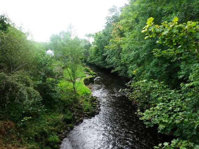
Glazert Water

The Glazert Water is a tributary of the River Kelvin in East Dunbartonshire, Scotland. It is formed 1 kilometre (5⁄8 mi) south of Clachan of Campsie (55...

Milton of Campsie

Milton of Campsie is a village formerly in the county of Stirlingshire, but now in East Dunbartonshire, Scotland roughly 10 miles (16 km) north of Glasgow...

Milton of Campsie railway station

Milton of Campsie railway station served the village of Milton of Campsie, in the historical county of Stirlingshire, Scotland, from 1848 to 1951 on the...

Lennoxtown (Old) railway station

Lennoxtown railway station served the town of Lennoxtown, Dunbartonshire, Scotland from 1848 to 1881 on the Blane Valley Railway. == History == The station...

Lennoxtown (New) railway station

Lennoxtown railway station served the town of Lennoxtown, Dunbartonshire, Scotland from 1867 to 1951 on the Blane Valley Railway. == History == The station...
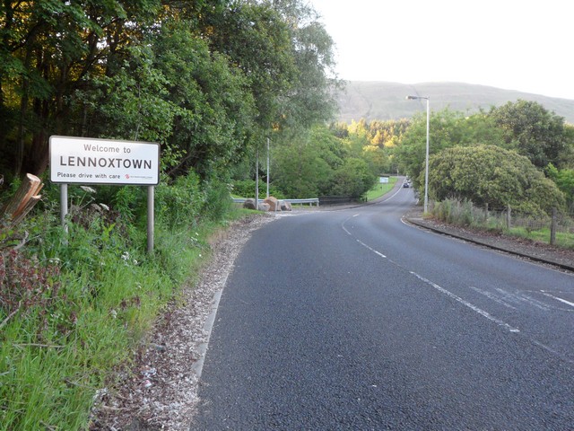
Lennoxtown

Lennoxtown (Scottish Gaelic: Baile na Leamhnachd, pronounced [ˈpalə nə ˈʎãũnəxk]) is a town in the East Dunbartonshire council area and the historic county...

Nearby Amenities

Located within 500m of 55.97304,-4.1762692
Ford: yes
Lat/Long: 55.9708063/-4.1716905
Barrier: stile
Lat/Long: 55.9716873/-4.1798663
Ford: yes
Lat/Long: 55.973611/-4.1687846
Barrier: stile
Lat/Long: 55.9747362/-4.1697436
Barrier: stile
Lat/Long: 55.9755555/-4.1698144
Power: pole
Lat/Long: 55.9701211/-4.1812247
Power: pole
Lat/Long: 55.9707156/-4.1811032
Power: pole
Lat/Long: 55.9714508/-4.1809335
Power: pole
Lat/Long: 55.9720957/-4.1809272
Power: pole
Lat/Long: 55.9728814/-4.1802462
Power: pole
Lat/Long: 55.9735978/-4.1806191
Power: pole
Lat/Long: 55.9743259/-4.1810257
Power: pole
Lat/Long: 55.9750611/-4.1814196
Power: pole
Lat/Long: 55.9755453/-4.1809439
Power: pole
Lat/Long: 55.9762453/-4.1802126
Power: pole
Lat/Long: 55.9767072/-4.1799088
Power: pole
Lat/Long: 55.9690868/-4.1800366
Power: pole
Lat/Long: 55.9689249/-4.1788464
The data included in this document is from www.openstreetmap.org. The data is made available under ODbL.

Have you been to Home Wood?

Leave your review of Home Wood below (or comments, questions and feedback).