Ashenwell Dams

Lake, Pool, Pond, Freshwater Marsh in Stirlingshire

Scotland

Ashenwell Dams

North edge of Lennoxtown Seen from North Birbiston Road.
North edge of Lennoxtown Credit: Stephen Sweeney

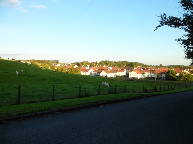
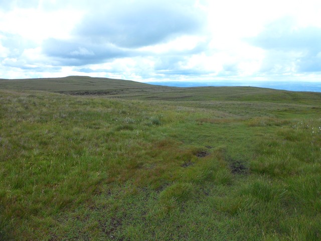
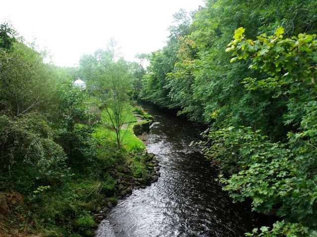
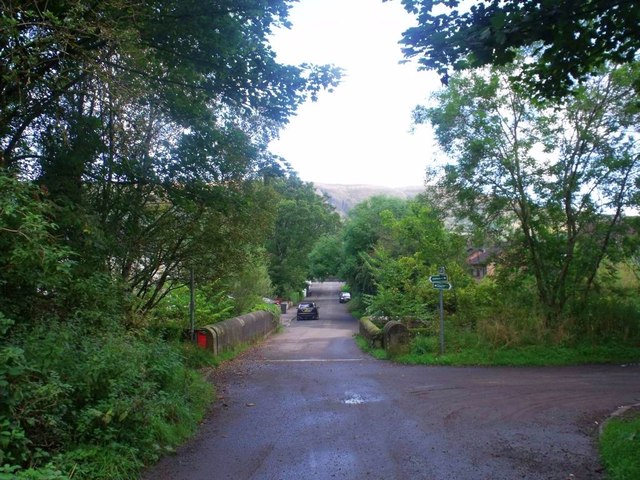
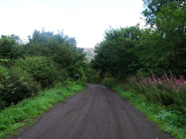
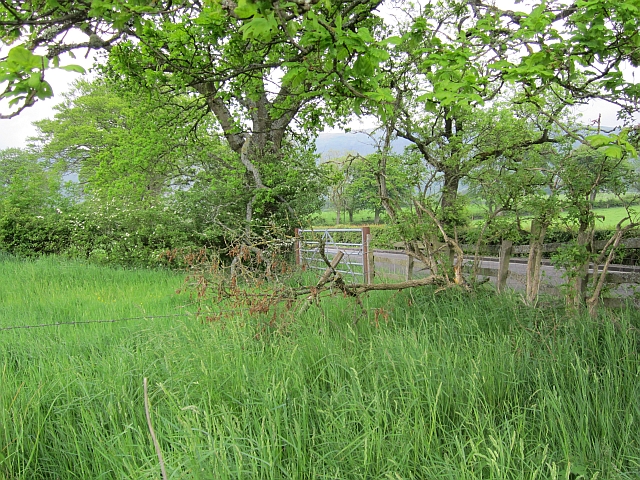
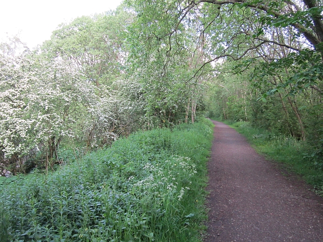
Ashenwell Dams is a picturesque freshwater marshland located in Stirlingshire, Scotland. Covering an area of approximately 20 acres, the site comprises a series of interconnected ponds, pools, and a small lake that are fed by natural springs and streams.

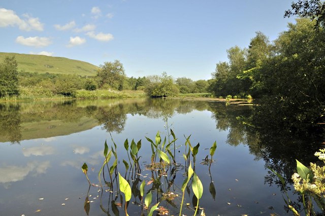
The main lake at Ashenwell Dams is approximately three acres in size and is surrounded by lush vegetation, including reeds, water lilies, and various aquatic plants. The water in the lake is clear and calm, creating a serene and tranquil atmosphere. It is home to a variety of freshwater fish species, such as perch, pike, and roach, making it a popular spot for anglers.

The smaller pools and ponds within the marshland offer a diverse habitat for a range of plant and animal species. The vegetation surrounding the pools includes willows, sedges, and bulrushes, providing shelter and nesting sites for birds. Common waterfowl, such as mallards and coots, can often be seen swimming in these smaller bodies of water.

The marshland itself acts as a natural filter, helping to purify the water and maintain its quality. This, in turn, supports a healthy ecosystem and encourages the growth of various water plants and organisms. The marshland also plays a vital role in regulating water flow, preventing flooding in the surrounding areas during heavy rainfall.

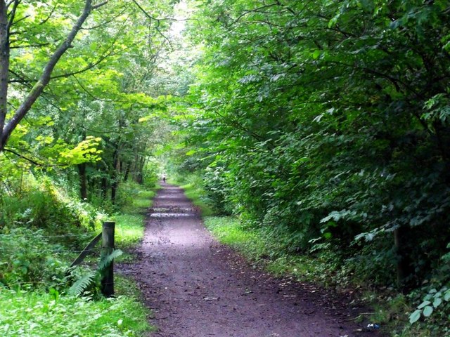
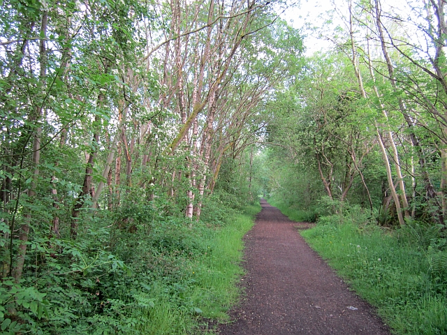
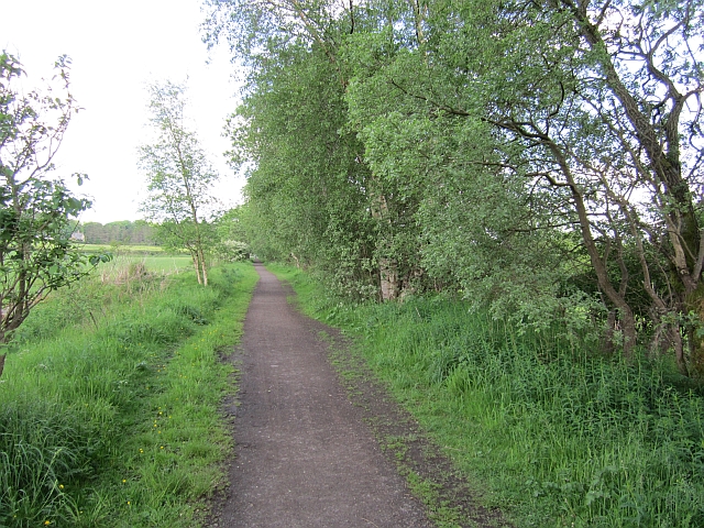
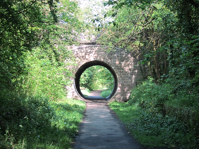
Ashenwell Dams is a popular destination for nature enthusiasts and photographers, who are drawn to its scenic beauty and abundant wildlife. The site offers several walking trails and observation points, allowing visitors to explore and appreciate the rich biodiversity that thrives in this freshwater marshland.

If you have any feedback on the listing, please let us know in the comments section below.

Ashenwell Dams Images

Images are sourced within 2km of 55.973903/-4.1670862 or Grid Reference NS6477. Thanks to Geograph Open Source API. All images are credited.

North edge of Lennoxtown Seen from North Birbiston Road.
North edge of Lennoxtown
Seen from North Birbiston Road.
Bencloich Crescent, Lennoxtown Stunningly set beneath the Campsie Fells.
Bencloich Crescent, Lennoxtown
Stunningly set beneath the Campsie Fells.
Public path behind Lennoxtown A lot of work going on around here - I think it may be a new housing development.
Public path behind Lennoxtown
A lot of work going on around here - I think it may be a new housing development.
North Birbiston Road, Lennoxtown
Approaching Lennoxtown on the B822 From the south.
Approaching Lennoxtown on the B822
From the south.
Moorland on the Campsie Fells Heading towards Cort-ma-Law.
Moorland on the Campsie Fells
Heading towards Cort-ma-Law.
Lennoxtown, Glazert Water
Lennoxtown, path to Milton of Campsie Follows the old track of the LNER railway which connected Kirkintilloch with the near north.
Lennoxtown, path to Milton of Campsie
Follows the old track of the LNER railway which connected Kirkintilloch with the near north.
Lennoxtown, road, paths and bridge The path from Strathblane to Kirkintilloch crosses the scene and the bridge over the Glazert leads into the town via Chestnut Walk seen in the distance.
Lennoxtown, road, paths and bridge
The path from Strathblane to Kirkintilloch crosses the scene and the bridge over the Glazert leads into the town via Chestnut Walk seen in the distance.
Lennoxtown, road from Finniescroft Wood
Parish church, Milton of Campsie This building has since been closed, as a new church has been built.
Parish church, Milton of Campsie
This building has since been closed, as a new church has been built.
Ashenwell Dams Part of the system of water works above Milton of Campsie
Ashenwell Dams
Part of the system of water works above Milton of Campsie
B822 The road between Lennoxtown and Bishopbriggs passes through farmland with numerous hedgerow oak trees.
B822
The road between Lennoxtown and Bishopbriggs passes through farmland with numerous hedgerow oak trees.
Holyknowe Road View up a residential street towards the Campsie Fell escarpment.
Holyknowe Road
View up a residential street towards the Campsie Fell escarpment.
Blane Valley Railway Now converted to a path between Kirkintilloch and Blanefield.
Blane Valley Railway
Now converted to a path between Kirkintilloch and Blanefield.
Blane Valley Railway The railway ran from Lenzie up to Dumgoyne and on to Aberfoyle and Stirling. It is now a path along much of its length.
Blane Valley Railway
The railway ran from Lenzie up to Dumgoyne and on to Aberfoyle and Stirling. It is now a path along much of its length.
Blane Valley Railway The path on the trackbed runs beside the Glazert Water. It was popular with fishermen today.
Blane Valley Railway
The path on the trackbed runs beside the Glazert Water. It was popular with fishermen today.
Milton of Campsie Station The bridge has been partly filled and now a pipe takes the Strathkelvin walkway, a cycle/foot path through the arch. There were platforms (still there) on both sides of the B757 bridge.
Milton of Campsie Station
The bridge has been partly filled and now a pipe takes the Strathkelvin walkway, a cycle/foot path through the arch. There were platforms (still there) on both sides of the B757 bridge.
Show me another place!

Ashenwell Dams is located at Grid Ref: NS6477 (Lat: 55.973903, Lng: -4.1670862)

Unitary Authority: East Dunbartonshire

Police Authority: Greater Glasgow

What 3 Words

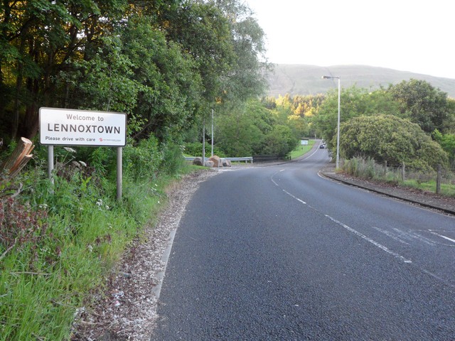
///drainage.stung.booster. Near Milton of Campsie, East Dunbartonshire

Related Wikis

Glorat

Glorat is a place and estate in the parish of Campsie in East Dunbartonshire, Scotland. == History == A towerhouse was built at Glorat in the 16th century...

Glorat House

Glorat House is a 19th-century mansion house in East Dunbartonshire, Scotland. It is located in Milton of Campsie, in the former county of Stirlingshire...
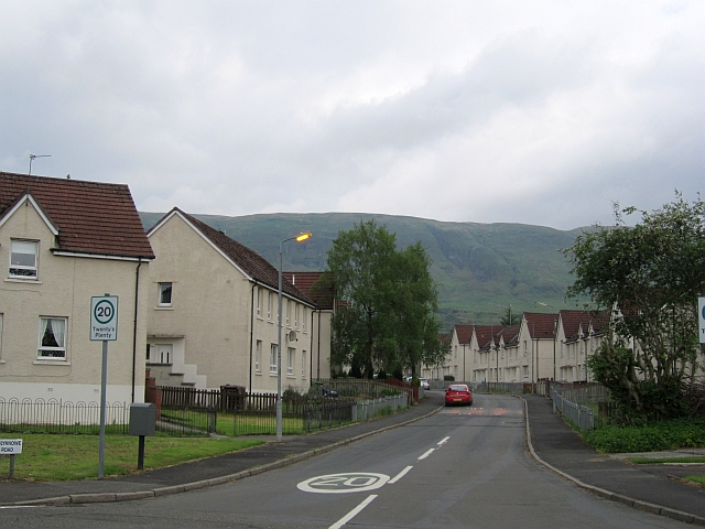
Milton of Campsie

Milton of Campsie is a village formerly in the county of Stirlingshire, but now in East Dunbartonshire, Scotland roughly 10 miles (16 km) north of Glasgow...

Milton of Campsie railway station

Milton of Campsie railway station served the village of Milton of Campsie, in the historical county of Stirlingshire, Scotland, from 1848 to 1951 on the...

Nearby Amenities

Located within 500m of 55.973903,-4.1670862
Barrier: kissing_gate
Foot: yes
Lat/Long: 55.9739143/-4.1623494
Barrier: stile
Lat/Long: 55.9737304/-4.1656012
Ford: yes
Lat/Long: 55.9746716/-4.1661074
Ford: yes
Lat/Long: 55.9708063/-4.1716905
Ford: yes
Lat/Long: 55.973611/-4.1687846
Barrier: stile
Lat/Long: 55.9747362/-4.1697436
Barrier: stile
Lat/Long: 55.9755555/-4.1698144
Ford: yes
Lat/Long: 55.9743994/-4.1653393
Barrier: stile
Lat/Long: 55.9728619/-4.1649031
The data included in this document is from www.openstreetmap.org. The data is made available under ODbL.

Have you been to Ashenwell Dams?

Leave your review of Ashenwell Dams below (or comments, questions and feedback).