Alloch Dam

Lake, Pool, Pond, Freshwater Marsh in Stirlingshire

Scotland

Alloch Dam

Field beside the A891, Campsie Road The Campsie Fells are in the distance.
Field beside the A891, Campsie Road Credit: Richard Sutcliffe

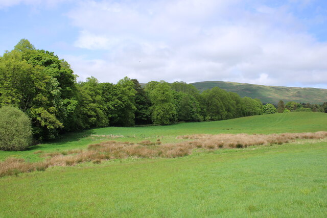
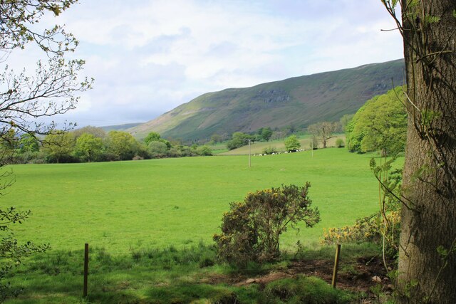
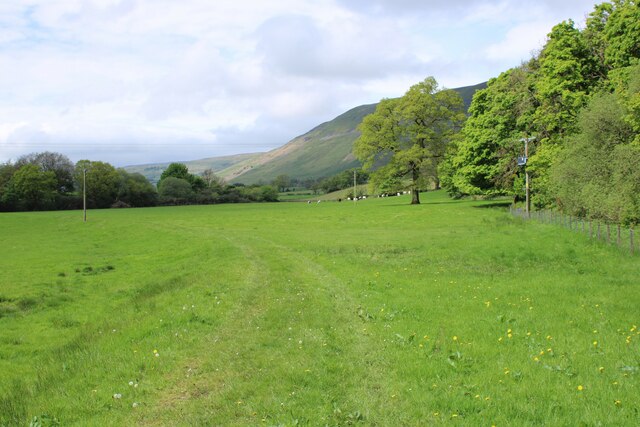
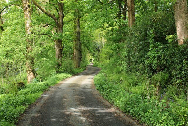
Alloch Dam is a picturesque freshwater marsh located in Stirlingshire, Scotland. Spanning across a vast area, it serves as a lake, pool, and pond, providing a diverse ecosystem for various flora and fauna. The dam was created in the mid-20th century to regulate water flow and provide a sustainable water supply for the surrounding areas.

The dam's calm and tranquil waters make it an ideal spot for recreational activities such as fishing, boating, and birdwatching. Anglers are drawn to the lake's abundant fish population, including trout, pike, and perch. Bird enthusiasts can observe a wide variety of species, including ducks, swans, herons, and occasionally ospreys, which visit during migration seasons.

Surrounded by lush greenery and rolling hills, the dam offers a peaceful escape from the hustle and bustle of everyday life. Its freshwater marsh is a haven for wetland plants, hosting various species of reeds, rushes, and water lilies. This thriving ecosystem supports a diverse range of wildlife, including otters, water voles, and numerous amphibians.

Alloch Dam also plays a vital role in water management, ensuring a reliable water supply for agriculture and local communities. The dam's construction has created opportunities for irrigation and flood control in the region, contributing to the overall sustainability of the area.

In conclusion, Alloch Dam in Stirlingshire, Scotland, is a stunning freshwater marsh that serves as a lake, pool, and pond. With its abundant wildlife, recreational activities, and crucial water management functions, it remains an important and cherished natural resource for the region.

If you have any feedback on the listing, please let us know in the comments section below.
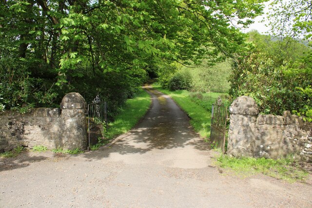
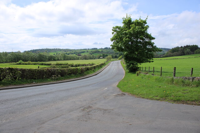
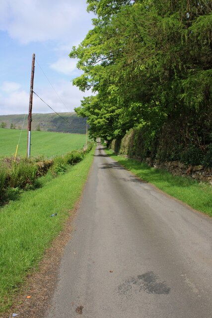
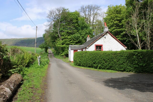
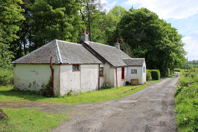
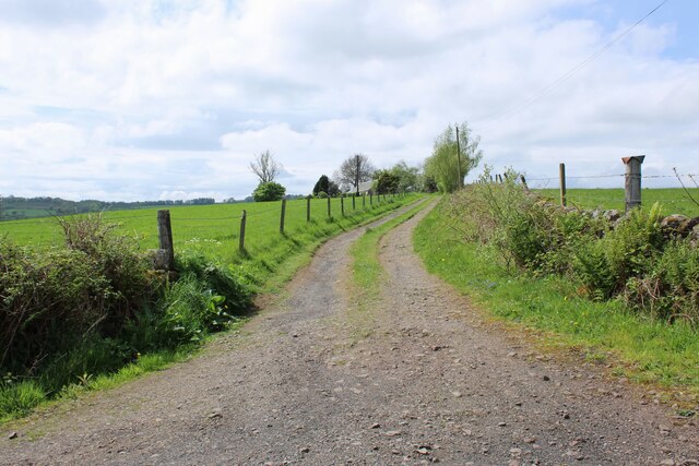
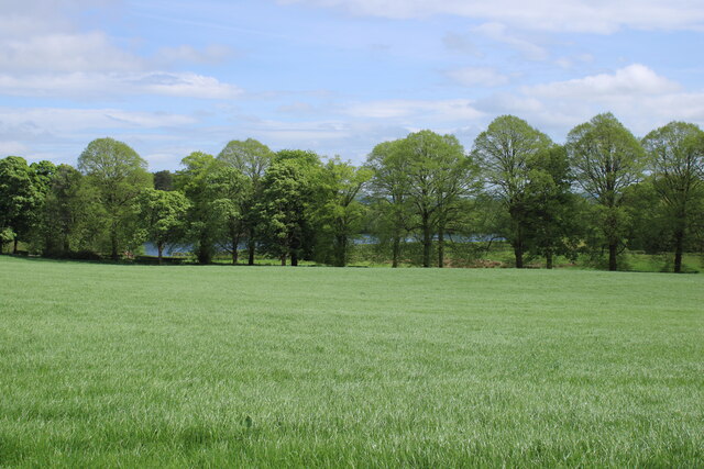
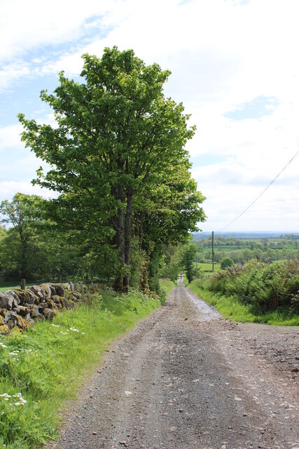
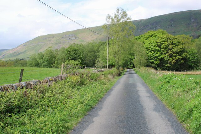
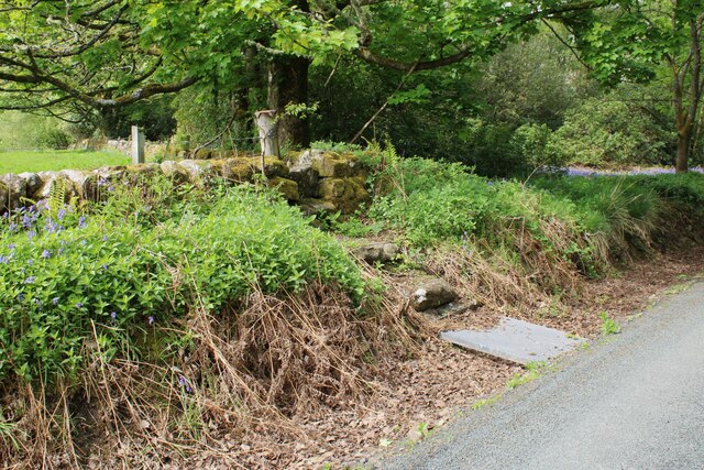
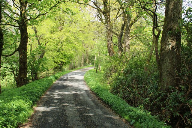
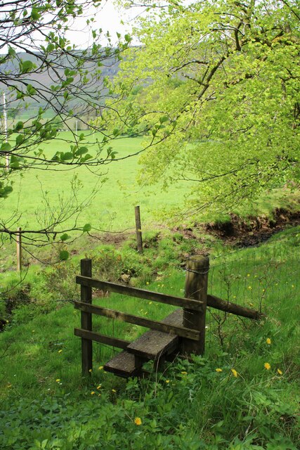
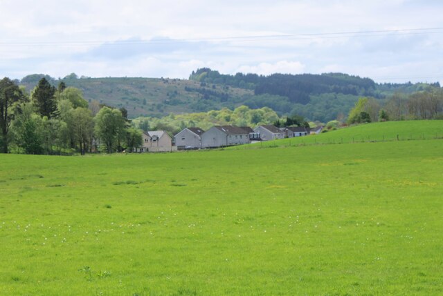
Alloch Dam Images

Images are sourced within 2km of 55.970169/-4.1739605 or Grid Reference NS6477. Thanks to Geograph Open Source API. All images are credited.

Field beside the A891, Campsie Road The Campsie Fells are in the distance.
Field beside the A891, Campsie Road
The Campsie Fells are in the distance.
Gates to Glorat House Off the A891, Campsie Road. The driveway to the house is about 800m long.
Gates to Glorat House
Off the A891, Campsie Road. The driveway to the house is about 800m long.
The A891 Campsie Road, looking towards Lennoxtown.
The A891
Campsie Road, looking towards Lennoxtown.
Road to Garmore Off the A891.
Road to Garmore
Off the A891.
Roadside cottage The road leads to Garmore.
Roadside cottage
The road leads to Garmore.
Roadside cottage On the road that leads to Garmore.
Roadside cottage
On the road that leads to Garmore.
Track to Westerton Once a farmstead, it is now a private residence.
Track to Westerton
Once a farmstead, it is now a private residence.
Water beyond the trees The trees line the driveway to Glorat House. Beyond these can be seen glimpses of Alloch Dam.
Water beyond the trees
The trees line the driveway to Glorat House. Beyond these can be seen glimpses of Alloch Dam.
View towards the main road The A891 is about about 300m down the gentle hill.
View towards the main road
The A891 is about about 300m down the gentle hill.
Road to Garmore And the slopes of the Campsie Fells.
Road to Garmore
And the slopes of the Campsie Fells.
An interesting stile A metal grill crosses a small ditch and two stone steps lead up the the slightly lower gap in the stone wall. It leads from the road to Garmore into an adjacent field.
An interesting stile
A metal grill crosses a small ditch and two stone steps lead up the the slightly lower gap in the stone wall. It leads from the road to Garmore into an adjacent field.
Road through woodland The road leads to Garmore.
Road through woodland
The road leads to Garmore.
A corner stile The wire fence turns at 90 degrees at this point.
A corner stile
The wire fence turns at 90 degrees at this point.
View towards the Campsies Looking towards the Campsie Fells above Lennoxtown. The fells consist of many layers of basaltic lavas and date from the Carboniferous Period.
View towards the Campsies
Looking towards the Campsie Fells above Lennoxtown. The fells consist of many layers of basaltic lavas and date from the Carboniferous Period.
Outskirts of Lennoxtown Houses at the northeastern end of Lennoxtown, seen across the fields.
Outskirts of Lennoxtown
Houses at the northeastern end of Lennoxtown, seen across the fields.
Green grass of spring The field and trees are looking very green following plenty of rain and now warmer temperatures. The Campsie Fells are in the distance.
Green grass of spring
The field and trees are looking very green following plenty of rain and now warmer temperatures. The Campsie Fells are in the distance.
Road through woodland Approaching Stafford Cottage on the road to Barmore.
Road through woodland
Approaching Stafford Cottage on the road to Barmore.
Estate building, Glorat Probably dating from around 1869, when Glorat House was rebuilt.
Estate building, Glorat
Probably dating from around 1869, when Glorat House was rebuilt.
Show me another place!

Alloch Dam is located at Grid Ref: NS6477 (Lat: 55.970169, Lng: -4.1739605)

Unitary Authority: East Dunbartonshire

Police Authority: Greater Glasgow

What 3 Words

///pouch.yummy.struts. Near Milton of Campsie, East Dunbartonshire

Related Wikis

Glorat

Glorat is a place and estate in the parish of Campsie in East Dunbartonshire, Scotland. == History == A towerhouse was built at Glorat in the 16th century...

Glorat House

Glorat House is a 19th-century mansion house in East Dunbartonshire, Scotland. It is located in Milton of Campsie, in the former county of Stirlingshire...

Milton of Campsie

Milton of Campsie is a village formerly in the county of Stirlingshire, but now in East Dunbartonshire, Scotland roughly 10 miles (16 km) north of Glasgow...

Glazert Water

The Glazert Water is a tributary of the River Kelvin in East Dunbartonshire, Scotland. It is formed 1 kilometre (5⁄8 mi) south of Clachan of Campsie (55...

Nearby Amenities

Located within 500m of 55.970169,-4.1739605
Ford: yes
Lat/Long: 55.9708063/-4.1716905
Barrier: stile
Lat/Long: 55.9716873/-4.1798663
Ford: yes
Lat/Long: 55.973611/-4.1687846
Power: pole
Lat/Long: 55.9683351/-4.1811451
Power: pole
Lat/Long: 55.9692721/-4.1814133
Power: pole
Lat/Long: 55.9701211/-4.1812247
Power: pole
Lat/Long: 55.9707156/-4.1811032
Power: pole
Lat/Long: 55.9714508/-4.1809335
Power: pole
Lat/Long: 55.9720957/-4.1809272
Power: pole
Lat/Long: 55.9728814/-4.1802462
Power: pole
Lat/Long: 55.9690868/-4.1800366
Power: pole
Lat/Long: 55.9689249/-4.1788464
The data included in this document is from www.openstreetmap.org. The data is made available under ODbL.

Have you been to Alloch Dam?

Leave your review of Alloch Dam below (or comments, questions and feedback).