Stroan Loch
Lake, Pool, Pond, Freshwater Marsh in Kirkcudbrightshire
Scotland
Stroan Loch

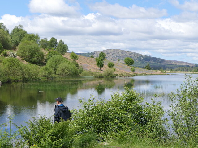
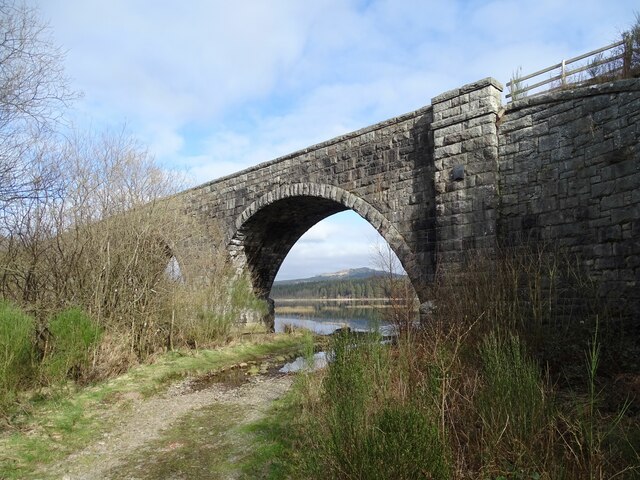
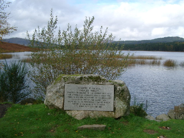
Stroan Loch is a picturesque freshwater loch located in Kirkcudbrightshire, Scotland. This beautiful water body is nestled amidst rolling hills and lush greenery, providing a tranquil and scenic retreat for visitors. With its serene atmosphere and diverse wildlife, Stroan Loch is a popular destination for nature enthusiasts and those seeking a peaceful escape.
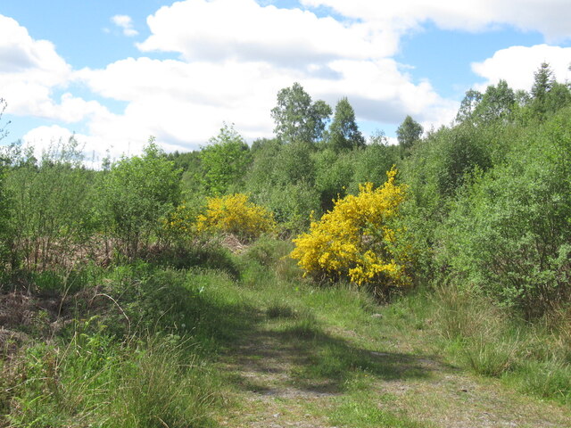
Covering an area of approximately 20 acres, Stroan Loch is a relatively small body of water, yet it boasts a rich ecosystem. The loch is surrounded by reed beds, which provide an important habitat for a variety of bird species, including teal, mallard, and coot. These reed beds also support a diverse range of plant life, such as bulrushes and water lilies, adding to the loch's natural beauty.
The calm and clear waters of Stroan Loch are perfect for fishing, attracting anglers from near and far. The loch is home to a healthy population of brown trout, making it an ideal spot for fly fishing. Anglers can enjoy the peaceful surroundings while trying their luck at catching this popular game fish.
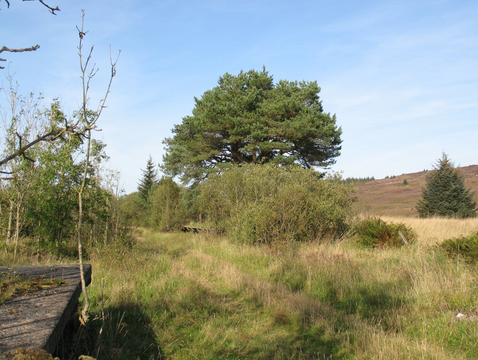
Visitors to Stroan Loch can explore the area through various walking trails that meander along the loch's shoreline. These paths offer stunning views of the surrounding landscape, as well as opportunities to spot wildlife and observe the diverse plant life that flourishes in this freshwater marsh environment.
Overall, Stroan Loch is a hidden gem in Kirkcudbrightshire, offering a peaceful and scenic retreat for nature lovers and outdoor enthusiasts alike. Its diverse ecosystem and tranquil ambiance make it a must-visit destination for those seeking a connection with nature.
If you have any feedback on the listing, please let us know in the comments section below.
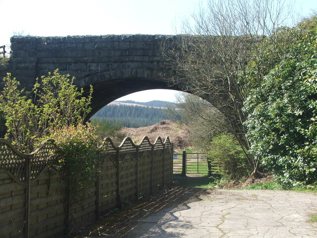
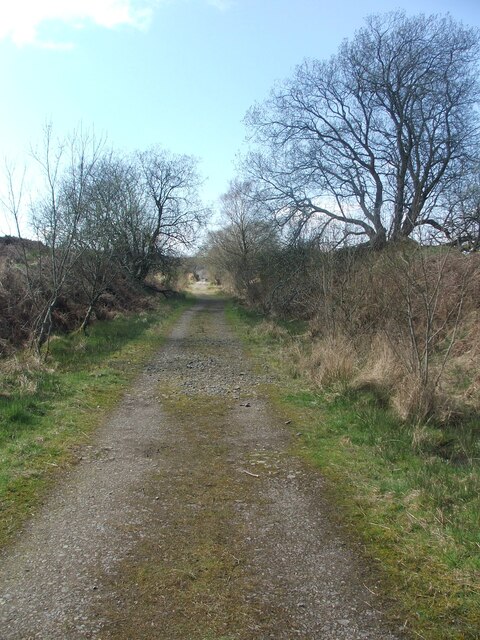
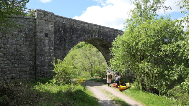
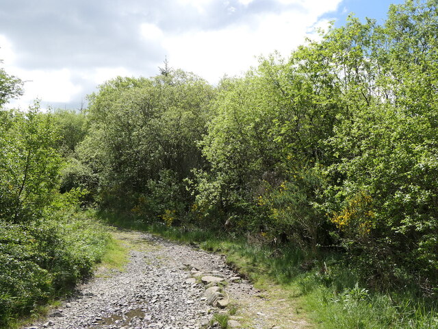
Stroan Loch Images
Images are sourced within 2km of 55.009905/-4.1217945 or Grid Reference NX6470. Thanks to Geograph Open Source API. All images are credited.


Stroan Loch is located at Grid Ref: NX6470 (Lat: 55.009905, Lng: -4.1217945)
Unitary Authority: Dumfries and Galloway
Police Authority: Dumfries and Galloway
What 3 Words
///gear.scorching.elders. Near Castle Douglas, Dumfries & Galloway
Nearby Locations
Related Wikis

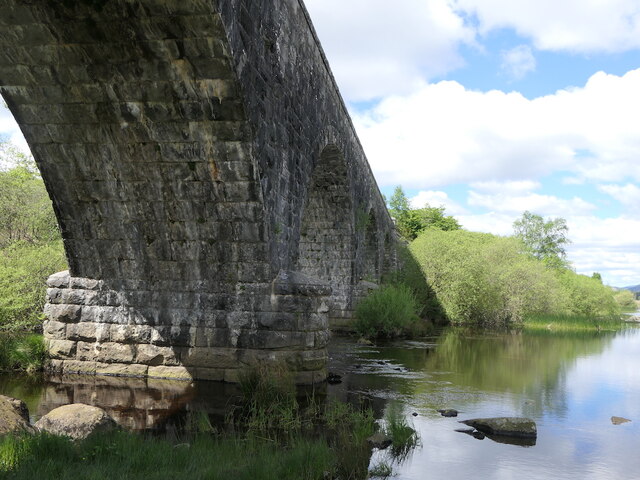
New Galloway railway station
New Galloway railway station served the town of New Galloway in Dumfries and Galloway, Scotland, from 1861 to 1965 on the Portpatrick and Wigtownshire...

Airds of Kells
Airds of Kells is a farm and small estate in the historical county of Kirkcudbrightshire in the parish of Kells, Dumfries and Galloway, Scotland. The...
Skerrow
Skerrow was a burgh in Dumfries and Galloway, Scotland. Loch Skerrow Halt railway station, on the Portpatrick and Wigtownshire Joint Railway, served Skerrow...
Loch Skerrow Halt railway station
Loch Skerrow Halt railway station served the burgh of Skerrow, Dumfries and Galloway, Scotland on the Portpatrick and Wigtownshire Joint Railway. ��2...

Loch Ken
Loch Ken is a 9 miles (14 km) long freshwater loch in the historic county of Kirkcudbrightshire in Dumfries and Galloway, Scotland. It lies in the Glenkens...

Galloway
Galloway (Scottish Gaelic: Gall-Ghàidhealaibh [ˈkal̪ˠaɣəl̪ˠu]; Scots: Gallowa; Latin: Gallovidia) is a region in southwestern Scotland comprising the historic...

Parton railway station (Portpatrick and Wigtownshire Joint Railway)
Parton railway station served the hamlet of Parton, Dumfries and Galloway, Scotland, from 1861 to 1965 on the Portpatrick and Wigtownshire Joint Railway...

Parton, Dumfries and Galloway
Parton is a hamlet situated on the banks of the River Dee in the historical county of Kirkcudbrightshire, Dumfries and Galloway, Scotland. == Notable... ==
Have you been to Stroan Loch?
Leave your review of Stroan Loch below (or comments, questions and feedback).