Girdle Hill

Hill, Mountain in Stirlingshire

Scotland

Girdle Hill

North edge of Lennoxtown Seen from North Birbiston Road.
North edge of Lennoxtown Credit: Stephen Sweeney

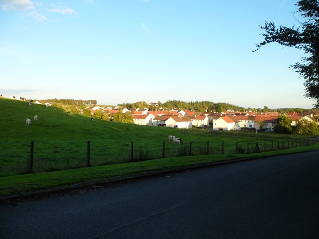
Girdle Hill is a prominent hill located in Stirlingshire, Scotland. It is situated in the Campsie Fells range, which forms part of the Southern Highlands. With an elevation of around 567 meters (1,860 feet), Girdle Hill offers breathtaking views of the surrounding countryside.

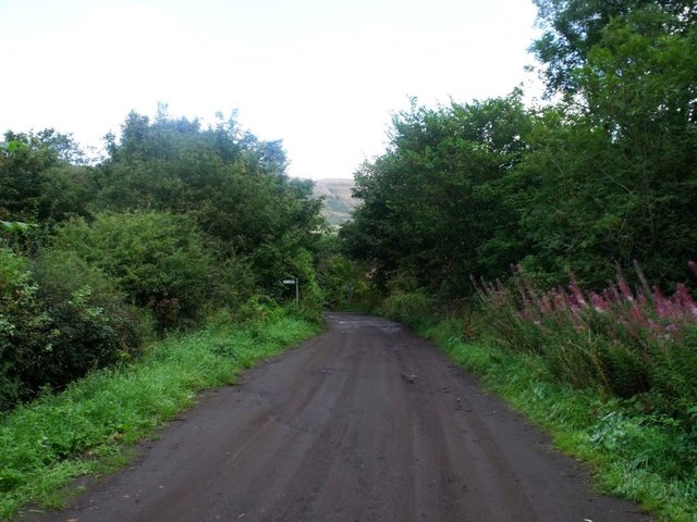
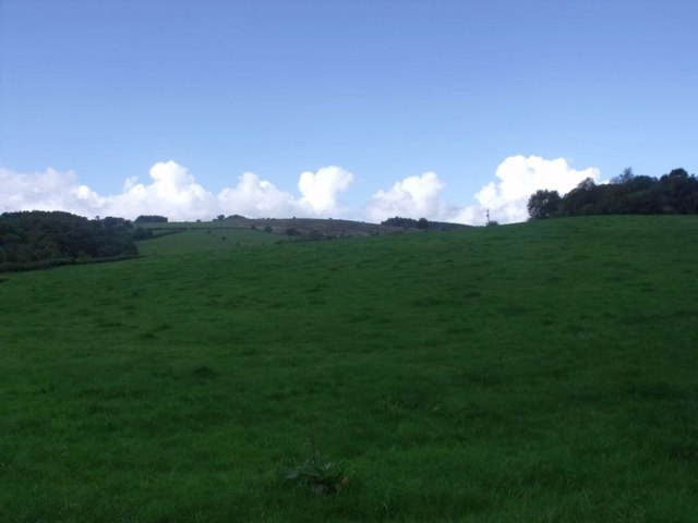
The hill is characterized by its gently sloping grassy slopes, which make it relatively accessible for walkers and hikers of various levels of experience. Its location within the Campsie Fells makes it a popular destination for outdoor enthusiasts, who come to enjoy the peaceful and picturesque landscape.

Girdle Hill is known for its diverse flora and fauna. The hillside is covered with heather, grasses, and scattered shrubs, providing a habitat for a variety of bird species, including skylarks and meadow pipits. On rare occasions, lucky visitors might even spot a golden eagle soaring above.

The hill is also rich in history. In ancient times, Girdle Hill was part of the Roman frontier, and remnants of Roman fortifications can still be found in the surrounding area. Additionally, there are several burial cairns and stone circles nearby, highlighting the hill's significance in prehistoric times.

Reaching the summit of Girdle Hill rewards visitors with panoramic views of the Campsie Fells, the Forth Valley, and even as far as the Trossachs and the Ochil Hills. Its accessibility, natural beauty, and historical significance make Girdle Hill a popular destination for those seeking a day of exploration and tranquility in the heart of Stirlingshire.

If you have any feedback on the listing, please let us know in the comments section below.

Girdle Hill Images

Images are sourced within 2km of 55.972995/-4.1711862 or Grid Reference NS6477. Thanks to Geograph Open Source API. All images are credited.

North edge of Lennoxtown Seen from North Birbiston Road.
North edge of Lennoxtown
Seen from North Birbiston Road.
Bencloich Crescent, Lennoxtown Stunningly set beneath the Campsie Fells.
Bencloich Crescent, Lennoxtown
Stunningly set beneath the Campsie Fells.
Public path behind Lennoxtown A lot of work going on around here - I think it may be a new housing development.
Public path behind Lennoxtown
A lot of work going on around here - I think it may be a new housing development.
North Birbiston Road, Lennoxtown
Approaching Lennoxtown on the B822 From the south.
Approaching Lennoxtown on the B822
From the south.
Lennoxtown, Glazert Water
Lennoxtown, path to Milton of Campsie Follows the old track of the LNER railway which connected Kirkintilloch with the near north.
Lennoxtown, path to Milton of Campsie
Follows the old track of the LNER railway which connected Kirkintilloch with the near north.
Lennoxtown, road, paths and bridge The path from Strathblane to Kirkintilloch crosses the scene and the bridge over the Glazert leads into the town via Chestnut Walk seen in the distance.
Lennoxtown, road, paths and bridge
The path from Strathblane to Kirkintilloch crosses the scene and the bridge over the Glazert leads into the town via Chestnut Walk seen in the distance.
Lennoxtown, road from Finniescroft Wood
Lennoxtown, South Brae View towards the South Brae area.
Lennoxtown, South Brae
View towards the South Brae area.
Parish church, Milton of Campsie This building has since been closed, as a new church has been built.
Parish church, Milton of Campsie
This building has since been closed, as a new church has been built.
Disused parish church of Campsie, Lennoxtown In this churchyard are buried Norman MacLeod, known as Caraid nan Gaidheal (friend of the Highlanders), minister of this church, then of St Columba's the Gaelic speaking church in Glasgow, also his son Norman MacLeod, minister of the Barony church in Glasgow, noted for his concern for the poor.
Disused parish church of Campsie, Lennoxtown
In this churchyard are buried Norman MacLeod, known as Caraid nan Gaidheal (friend of the Highlanders), minister of this church, then of St Columba's the Gaelic speaking church in Glasgow, also his son Norman MacLeod, minister of the Barony church in Glasgow, noted for his concern for the poor.
Ashenwell Dams Part of the system of water works above Milton of Campsie
Ashenwell Dams
Part of the system of water works above Milton of Campsie
Gateway to Campsie Parish Church This entrance gateway leads from the Main Street to the burned out parish church building and graveyard. The gateway also serves as the war memorial.
Gateway to Campsie Parish Church
This entrance gateway leads from the Main Street to the burned out parish church building and graveyard. The gateway also serves as the war memorial.
B822 The road between Lennoxtown and Bishopbriggs passes through farmland with numerous hedgerow oak trees.
B822
The road between Lennoxtown and Bishopbriggs passes through farmland with numerous hedgerow oak trees.
Holyknowe Road View up a residential street towards the Campsie Fell escarpment.
Holyknowe Road
View up a residential street towards the Campsie Fell escarpment.
Campsie Parish Church Church of Scotland.
Campsie Parish Church
Church of Scotland.
Blane Valley Railway Now converted to a path between Kirkintilloch and Blanefield.
Blane Valley Railway
Now converted to a path between Kirkintilloch and Blanefield.
Show me another place!

Girdle Hill is located at Grid Ref: NS6477 (Lat: 55.972995, Lng: -4.1711862)

Unitary Authority: East Dunbartonshire

Police Authority: Greater Glasgow

What 3 Words

///punks.elevates.initiates. Near Milton of Campsie, East Dunbartonshire

Related Wikis

Glorat

Glorat is a place and estate in the parish of Campsie in East Dunbartonshire, Scotland. == History == A towerhouse was built at Glorat in the 16th century...

Glorat House

Glorat House is a 19th-century mansion house in East Dunbartonshire, Scotland. It is located in Milton of Campsie, in the former county of Stirlingshire...
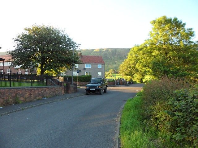
Milton of Campsie

Milton of Campsie is a village formerly in the county of Stirlingshire, but now in East Dunbartonshire, Scotland roughly 10 miles (16 km) north of Glasgow...

Milton of Campsie railway station

Milton of Campsie railway station served the village of Milton of Campsie, in the historical county of Stirlingshire, Scotland, from 1848 to 1951 on the...
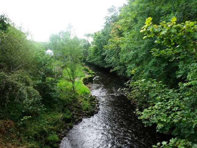
Glazert Water

The Glazert Water is a tributary of the River Kelvin in East Dunbartonshire, Scotland. It is formed 1 kilometre (5⁄8 mi) south of Clachan of Campsie (55...

Lennoxtown (Old) railway station

Lennoxtown railway station served the town of Lennoxtown, Dunbartonshire, Scotland from 1848 to 1881 on the Blane Valley Railway. == History == The station...

Lennoxtown (New) railway station

Lennoxtown railway station served the town of Lennoxtown, Dunbartonshire, Scotland from 1867 to 1951 on the Blane Valley Railway. == History == The station...
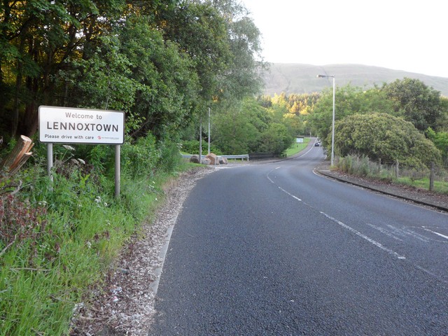
Lennoxtown

Lennoxtown (Scottish Gaelic: Baile na Leamhnachd, pronounced [ˈpalə nə ˈʎãũnəxk]) is a town in the East Dunbartonshire council area and the historic county...

Nearby Amenities

Located within 500m of 55.972995,-4.1711862
Barrier: stile
Lat/Long: 55.9737304/-4.1656012
Ford: yes
Lat/Long: 55.9746716/-4.1661074
Ford: yes
Lat/Long: 55.9708063/-4.1716905
Ford: yes
Lat/Long: 55.973611/-4.1687846
Barrier: stile
Lat/Long: 55.9747362/-4.1697436
Barrier: stile
Lat/Long: 55.9755555/-4.1698144
Ford: yes
Lat/Long: 55.9743994/-4.1653393
Barrier: stile
Lat/Long: 55.9728619/-4.1649031
The data included in this document is from www.openstreetmap.org. The data is made available under ODbL.

Have you been to Girdle Hill?

Leave your review of Girdle Hill below (or comments, questions and feedback).