Alston
Settlement in Cumberland Eden
England
Alston
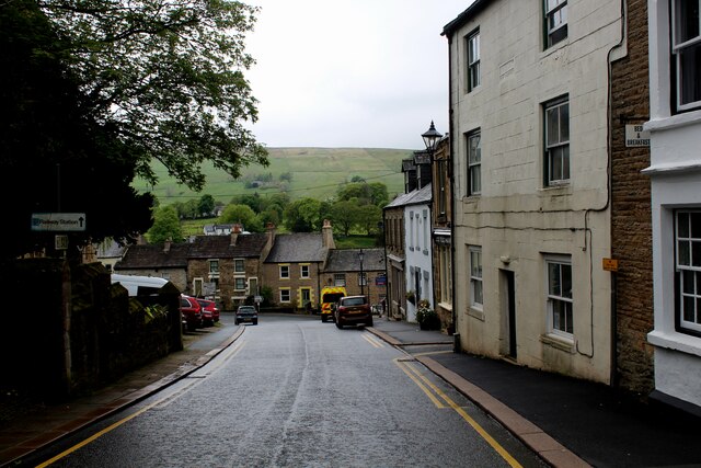
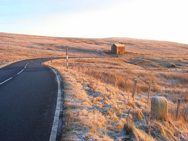
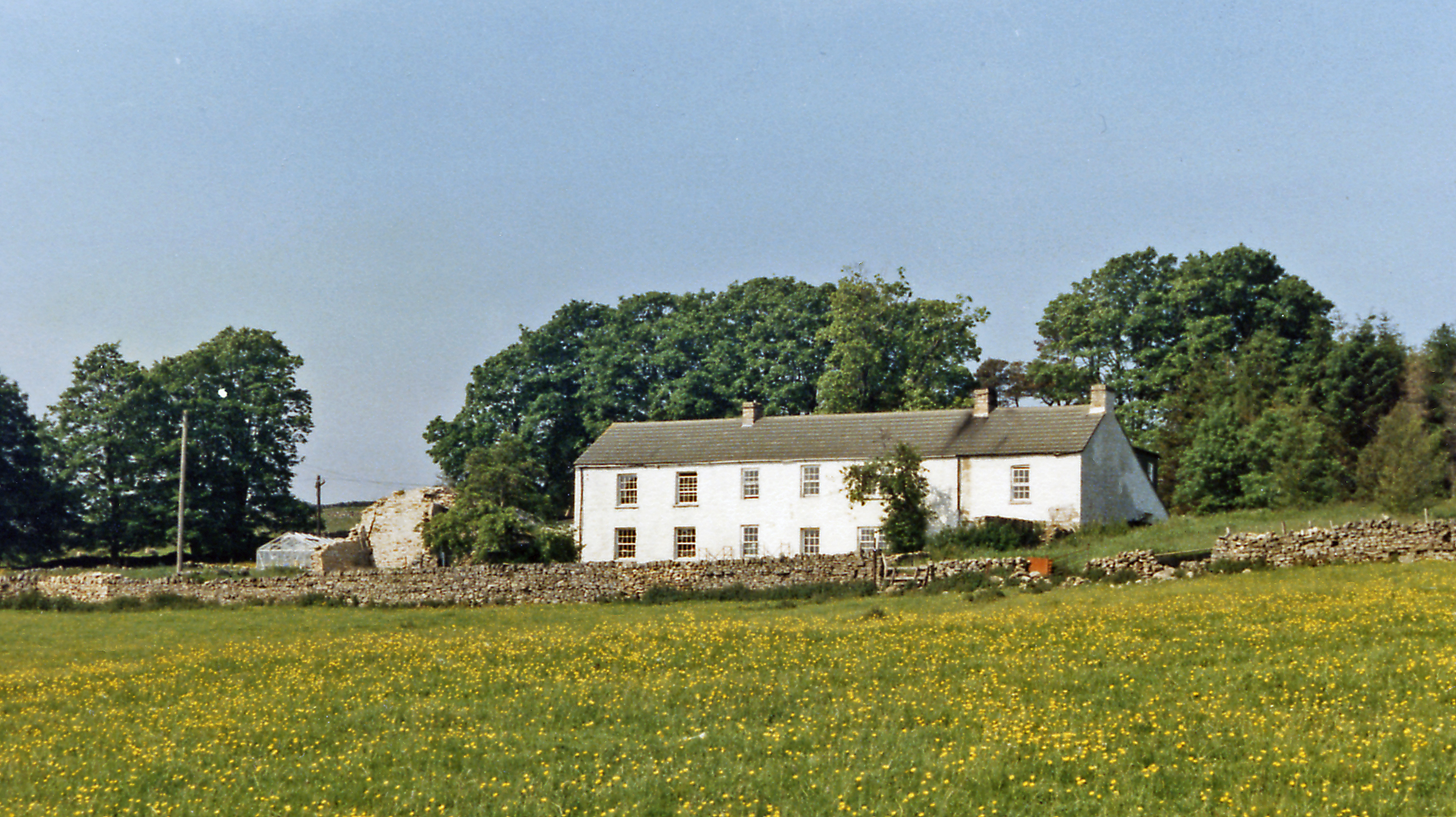
Alston is a small town located in the county of Cumberland, in the North West of England. Situated in the Pennine hills, it is the highest market town in England, standing at an elevation of approximately 1,000 feet above sea level. The town is positioned approximately 20 miles south-east of Carlisle, the county town of Cumbria.
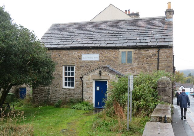
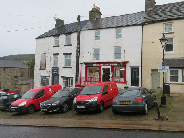
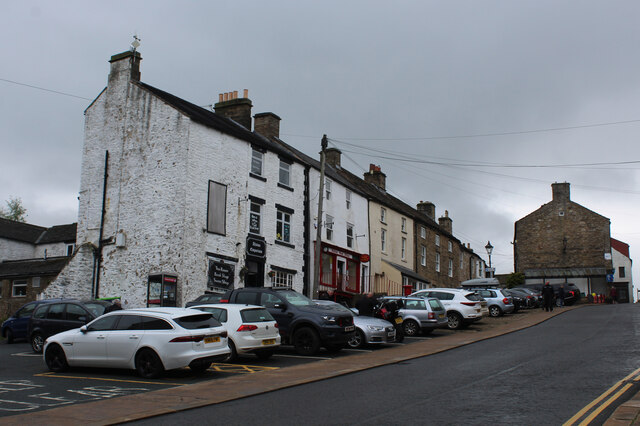
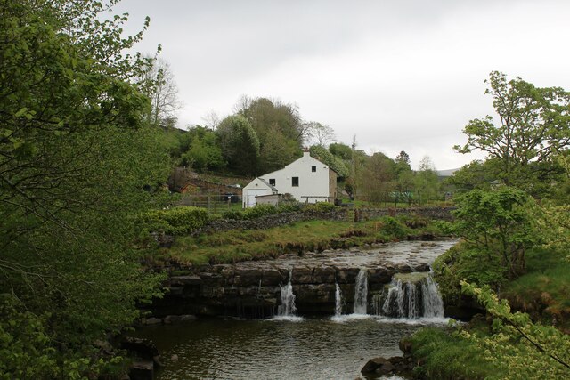
Alston is known for its picturesque setting, surrounded by stunning natural landscapes and rolling countryside. The town itself is characterized by narrow cobbled streets, traditional stone buildings, and charming shops and cafes. It has a population of around 1,200 residents, and its economy is primarily driven by tourism and agriculture.
The town has a rich history, dating back to medieval times. It was an important mining center during the 18th and 19th centuries, particularly for lead mining. Today, Alston is home to the award-winning Nenthead Mines Heritage Centre, which provides insights into the town's mining heritage.
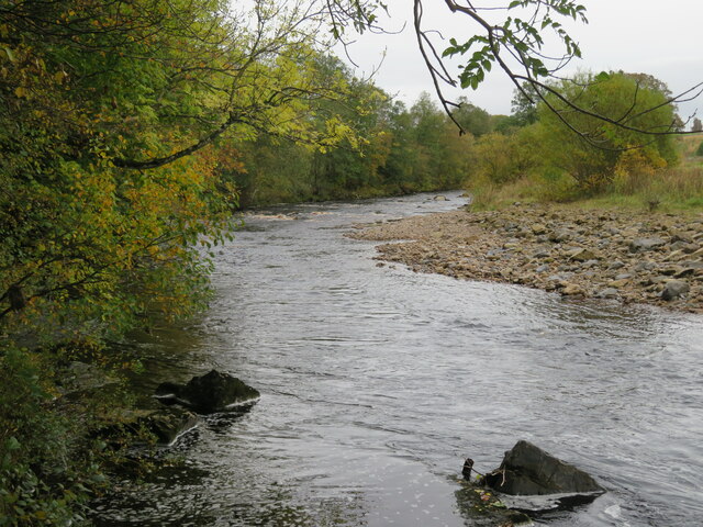
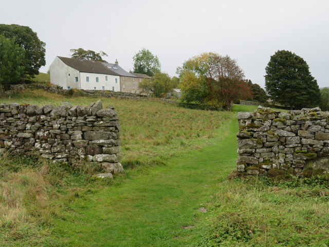
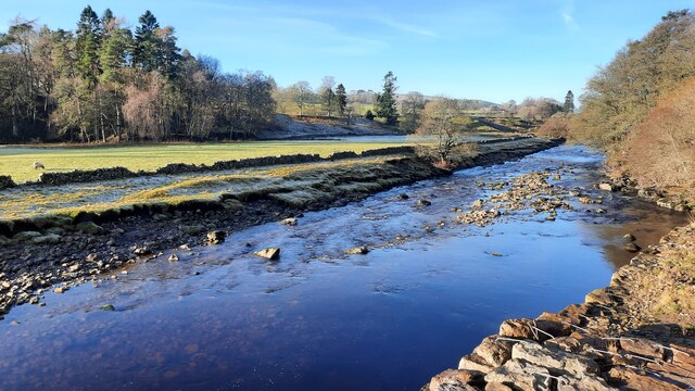
In addition to its historical significance, Alston serves as a gateway to the North Pennines Area of Outstanding Natural Beauty. Visitors and locals alike enjoy exploring the surrounding countryside, which offers breathtaking views, walking trails, and opportunities for outdoor activities such as hiking, cycling, and birdwatching.
Overall, Alston is a charming and historic market town, nestled within the beautiful landscapes of Cumberland. Its combination of natural beauty, historical significance, and warm community make it a popular destination for tourists and a beloved home for its residents.
If you have any feedback on the listing, please let us know in the comments section below.
Alston Images
Images are sourced within 2km of 54.812501/-2.4413846 or Grid Reference NY7146. Thanks to Geograph Open Source API. All images are credited.
Alston is located at Grid Ref: NY7146 (Lat: 54.812501, Lng: -2.4413846)
Administrative County: Cumbria
District: Eden
Police Authority: Cumbria
What 3 Words
///marmalade.makeup.glassware. Near Alston, Cumbria
Nearby Locations
Related Wikis

Alston Town Hall
Alston Town Hall is a municipal building in Front Street, Alston, Cumbria, England. The town hall, which is currently used as a public library, is a Grade...

Alston Moor
Alston Moor, formerly known as Alston with Garrigill, is a civil parish and electoral ward in the Westmorland and Furness district, in the ceremonial county...

Samuel King's School
Samuel King's School is a mixed secondary school located in Alston in the English county of Cumbria. As of 2017 it had 73 students on roll. It is a comprehensive...

Alston, Cumbria
Alston is a town in Westmorland and Furness, Cumbria, England, within the civil parish of Alston Moor on the River South Tyne. It shares the title of the...
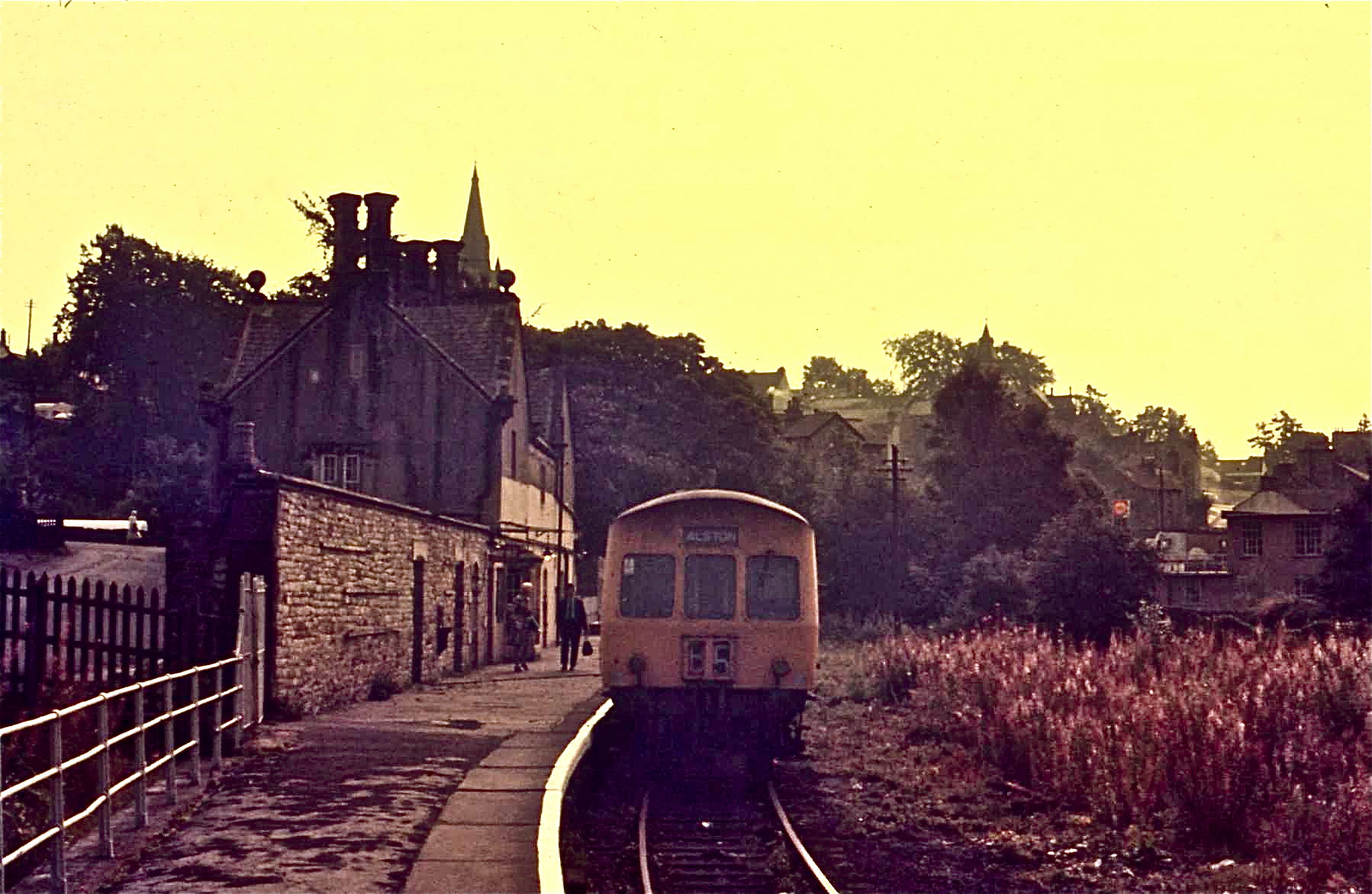
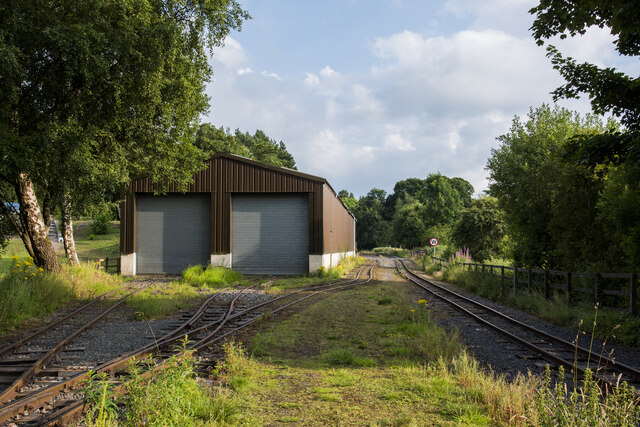
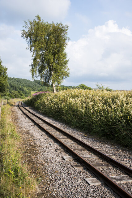
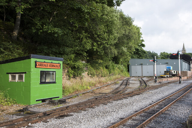
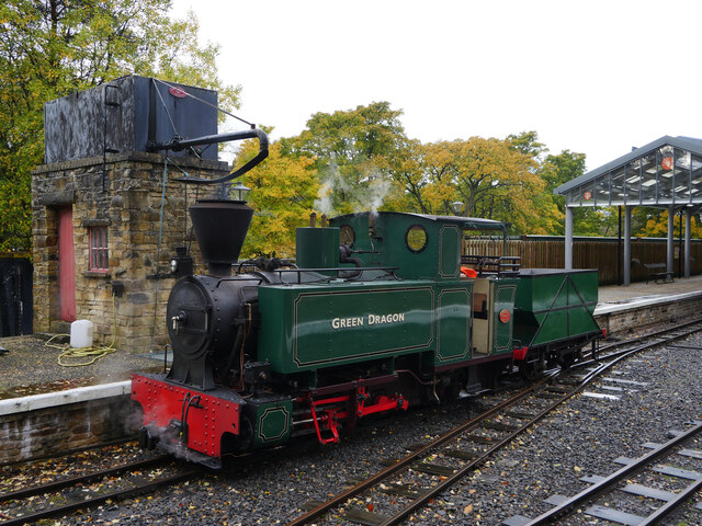
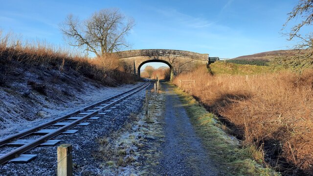
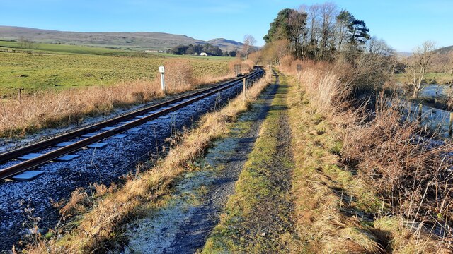
Alston railway station
Alston is a heritage railway station on the South Tynedale Railway. The station, situated 13 miles (21 km) south of Haltwhistle, is in the market town...
A686 road
The A686 is a road in Northern England. It runs from Penrith in Cumbria to Haydon Bridge in Northumberland. AA Magazine named the A686 as one of their...
Bayles, Cumbria
Bayles is a hamlet near Alston in Cumbria, England.
Gilderdale Halt railway station
Gilderdale Halt railway station, also known as Gilderdale railway station, served the town of Alston, Cumbria, England, from 1986 to 1999 on the South...
Related Videos

Alston, Cumbria : North of England Walking Tours
Alston is a small town in Cumbria, England, within the civil parish of Alston Moor on the River South Tyne. It shares the title of the ...

CASTLE CARROCK HOLIDAY PICS (THURSDAY)
Hello Jamie here and with another video. These are pics from the Alston Train Journey etc, our final day in Cumbria. Remember to ...

CASTLE CARROCK HOLIDAY PICS (TUESDAY)
Hello Jamie here and with another video. These are the pics taken, from Hexham and Alston, etc. I preferred Alston, more ...

South Tyne Trail / The easiest 20+ mile trail in the North East of England? River Tyne Walk
The south tyne trail is an easy 23+ mile walk in the northeast of England in the U.K. Goes from the south tyne source near ...
Nearby Amenities
Located within 500m of 54.812501,-2.4413846Have you been to Alston?
Leave your review of Alston below (or comments, questions and feedback).