Alston
Settlement in Dorset East Devon
England
Alston

Alston is a small village located in the county of Dorset, England. Situated in the beautiful Blackmore Vale, it is surrounded by picturesque countryside and offers a peaceful and idyllic setting for its residents and visitors alike.
The village is characterized by its charming traditional cottages made of local stone, giving it a quintessential English village atmosphere. Alston is home to a close-knit community, where residents often participate in various community events and activities.
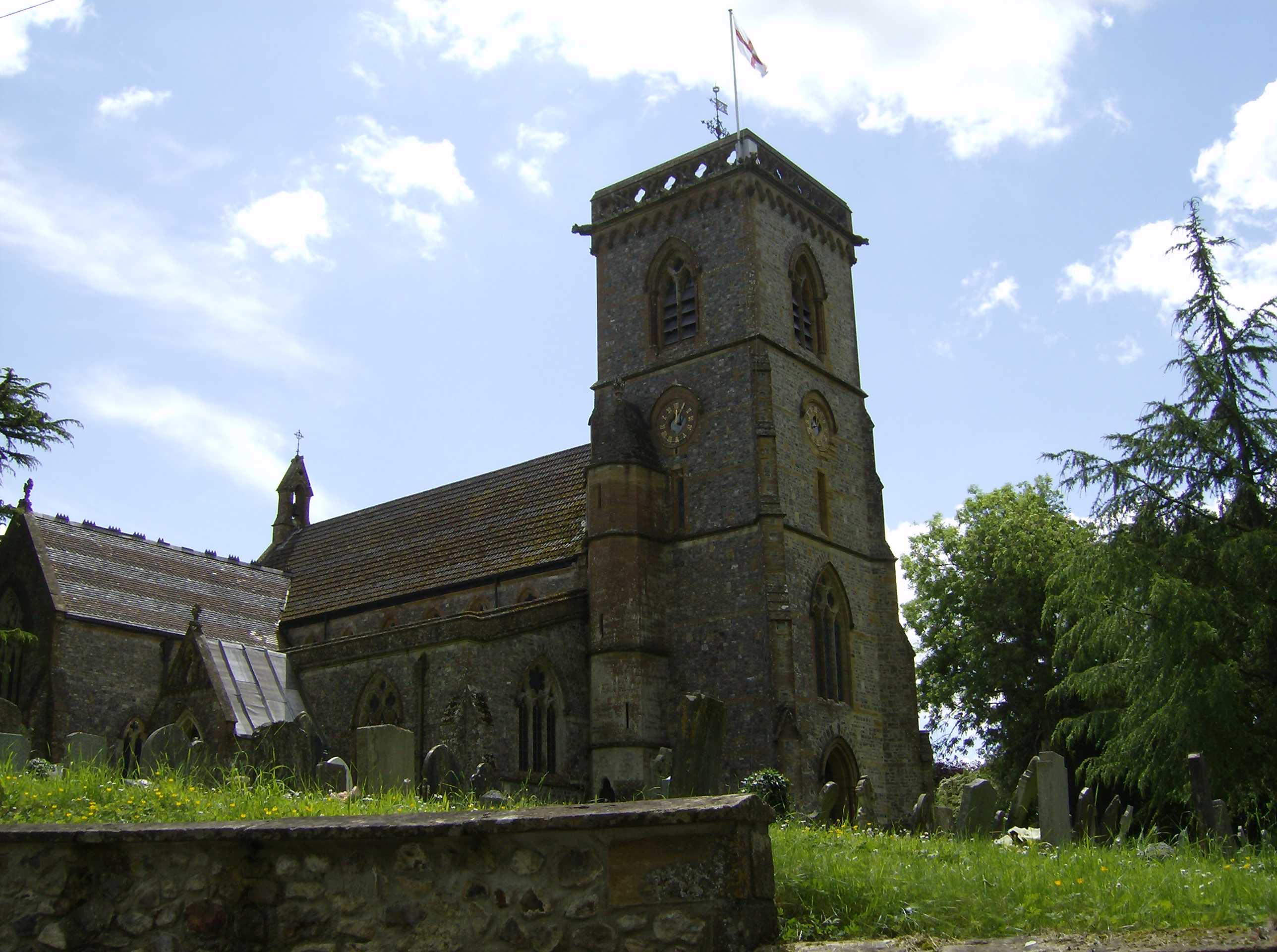
One of the notable features of Alston is its historic church, St. Mary's Church, which dates back to the 13th century. This architectural gem attracts history enthusiasts and those seeking a glimpse into the village's past.
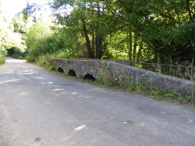
Alston is also known for its scenic walking trails, making it a popular spot for outdoor enthusiasts. The surrounding countryside offers breathtaking views and opportunities for exploring nature. Additionally, the village is well-connected to several nearby towns and attractions, including the market town of Sherborne and the historic city of Dorchester.
The local economy in Alston is primarily based on agriculture, with many residents engaged in farming activities. However, there is also a growing tourism industry, with visitors drawn to the village's tranquil ambiance and natural beauty.
In summary, Alston is a charming village in Dorset, boasting a rich history, stunning countryside, and a close-knit community. It offers a peaceful retreat for those seeking a break from the hustle and bustle of city life.
If you have any feedback on the listing, please let us know in the comments section below.
Alston Images
Images are sourced within 2km of 50.818707/-2.986588 or Grid Reference ST3002. Thanks to Geograph Open Source API. All images are credited.


Alston is located at Grid Ref: ST3002 (Lat: 50.818707, Lng: -2.986588)
Administrative County: Devon
District: East Devon
Police Authority: Devon and Cornwall
What 3 Words
///plotter.squeezed.thread. Near Axminster, Devon
Nearby Locations
Related Wikis

Alston, East Devon
Alston is a hamlet in Devon, England. == References ==

All Saints, Devon
All Saints is a civil parish in East Devon, Devon, England. It has a population of 498 according to the 2001 census. The parish includes the hamlets...
Tytherleigh
Tytherleigh is a village in the civil parish of Chardstock in Devon, England (historically in Dorset), close to the borders with Dorset and Somerset on...
Smallridge
Smallridge is a large hamlet in All Saints parish in the East Devon district of Devon, England. The hamlet is situated about 1 mile north of the town of...

Blackwater River (River Axe)
The Blackwater River is a 10-kilometre (6.2 mi) long river in the counties of Dorset and Devon, in the south-west of England. It rises to the north of...
Chardstock
Chardstock is a village and civil parish located on the eastern border of Devon, England off the A358 road between Chard and Axminster. The parish population...

Membury Castle
Membury Castle is an Iron Age hillfort situated above the village of Membury in Devon. The fort occupies a commanding hilltop position some 204 metres...

Holy City, Devon
Holy City is a hamlet in the parish of Chardstock, East Devon, England. It is approximately 5 miles (8.0 km) due north of the town of Axminster, and 4...
Nearby Amenities
Located within 500m of 50.818707,-2.986588Have you been to Alston?
Leave your review of Alston below (or comments, questions and feedback).