Hallhill Plantation
Wood, Forest in Cumberland Eden
England
Hallhill Plantation
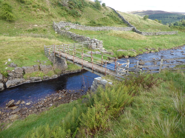
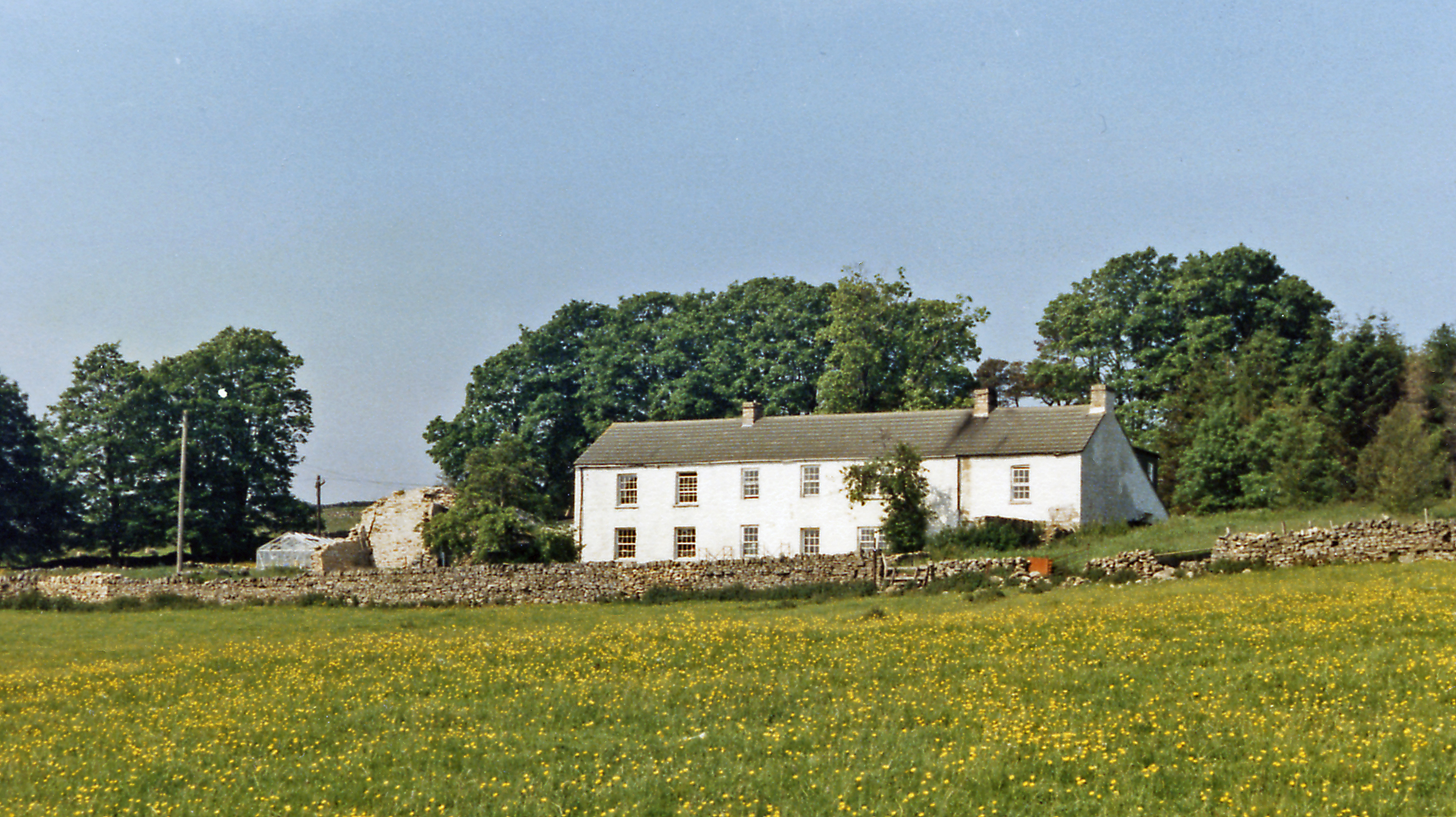
Hallhill Plantation is a picturesque woodland area located in the county of Cumberland, England. Situated near the village of Wood, the plantation spans over a vast area, encompassing dense forests and enchanting woodlands.
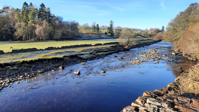
The plantation is known for its rich biodiversity and serves as a haven for various species of flora and fauna. Towering oak, beech, and pine trees dominate the landscape, creating a serene and peaceful atmosphere. The forest floor is blanketed with a diverse array of wildflowers, mosses, and ferns, adding to the plantation's natural beauty.
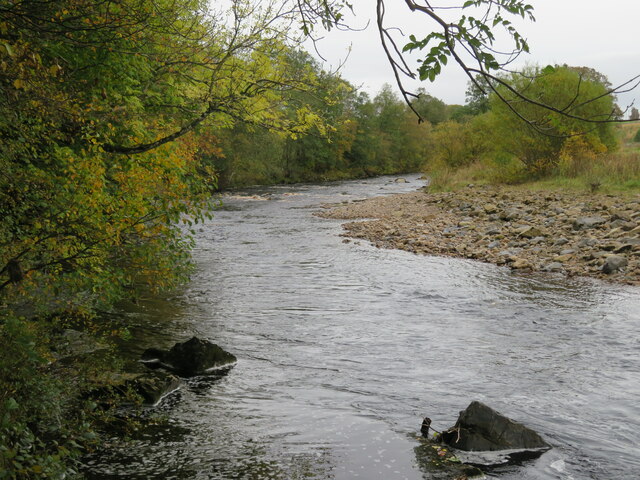
Hallhill Plantation offers a range of recreational activities for visitors to enjoy. A network of well-maintained walking trails crisscrosses the woodland, providing opportunities for leisurely strolls, hiking, and birdwatching. Nature enthusiasts can spot a variety of bird species, including woodpeckers, owls, and finches. The plantation also boasts a small lake, where visitors can partake in fishing or simply admire the tranquil waters.
The woodland is carefully managed to ensure the preservation of its ecological balance. The plantation's management team conducts regular tree surveys and implements sustainable forestry practices. This includes selective logging and the planting of new trees to maintain the health and vitality of the woodland ecosystem.
Hallhill Plantation is not only a place of natural beauty but also holds historical significance. The area was once part of an ancient royal hunting ground and has witnessed centuries of human presence. Ruins of old hunting lodges and other historical structures can still be found within the plantation, providing glimpses into the past.
Overall, Hallhill Plantation in Cumberland is a captivating destination that offers both natural wonders and cultural heritage to its visitors.
If you have any feedback on the listing, please let us know in the comments section below.
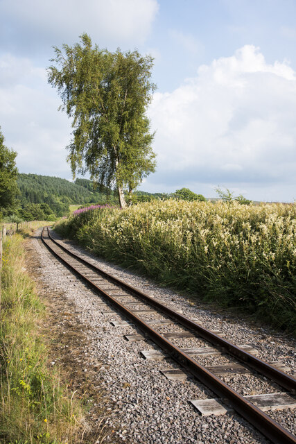
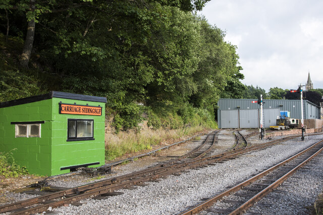
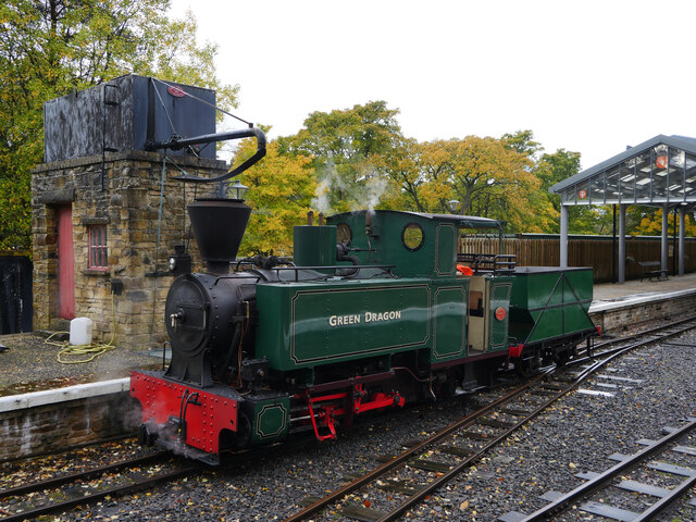
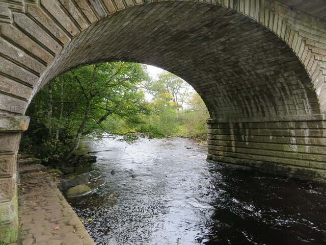
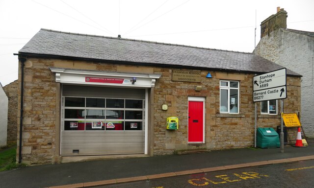
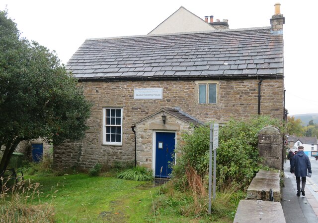
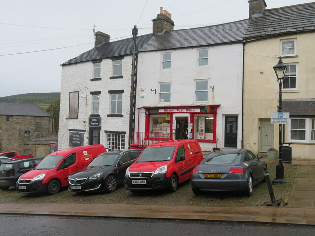
Hallhill Plantation Images
Images are sourced within 2km of 54.814732/-2.4457037 or Grid Reference NY7146. Thanks to Geograph Open Source API. All images are credited.
Hallhill Plantation is located at Grid Ref: NY7146 (Lat: 54.814732, Lng: -2.4457037)
Administrative County: Cumbria
District: Eden
Police Authority: Cumbria
What 3 Words
///radiating.lodge.outfitter. Near Alston, Cumbria
Nearby Locations
Related Wikis
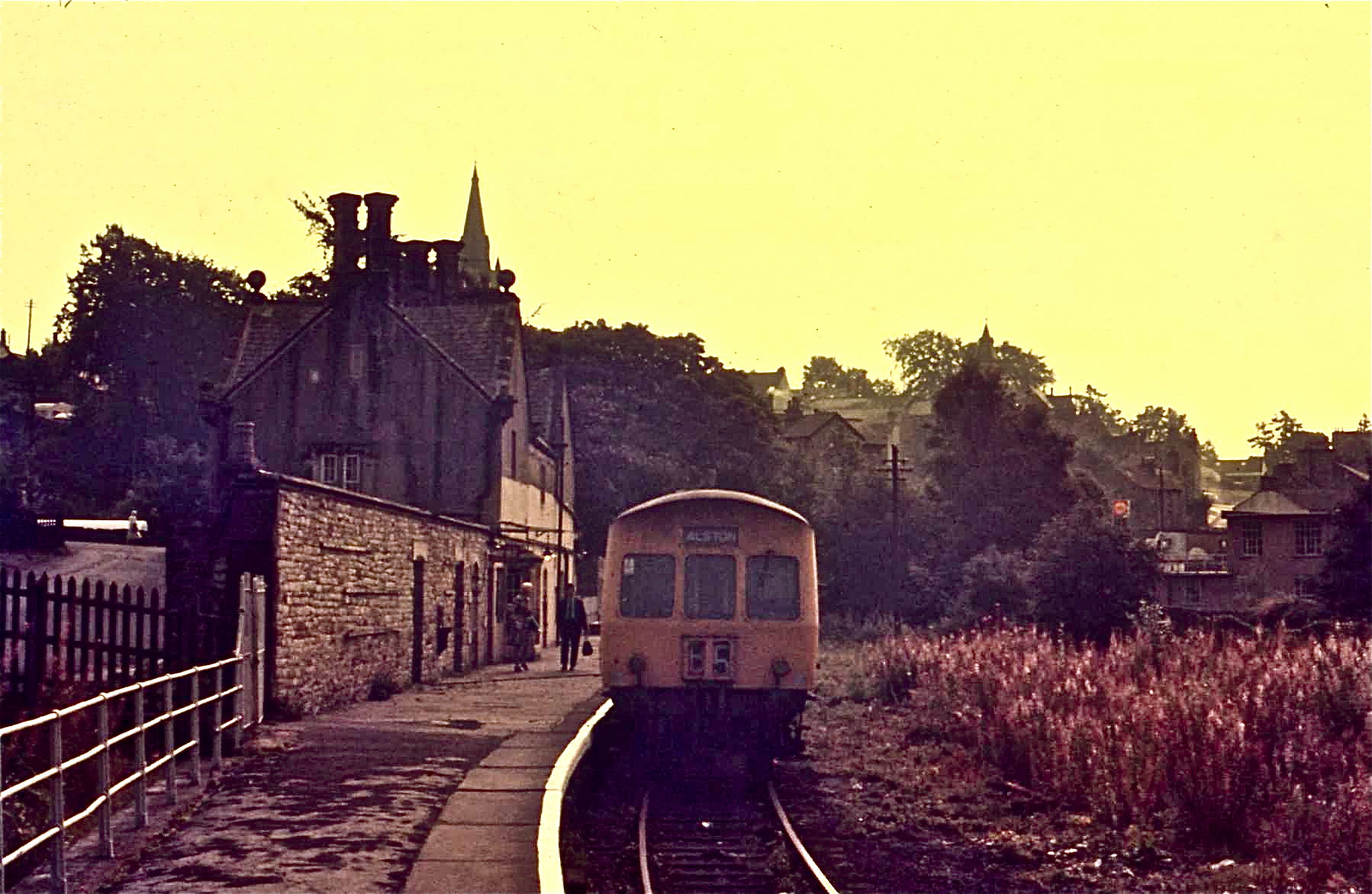
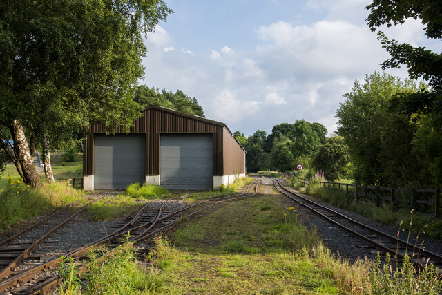
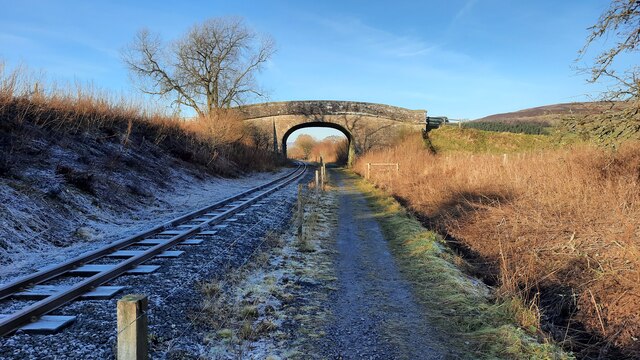
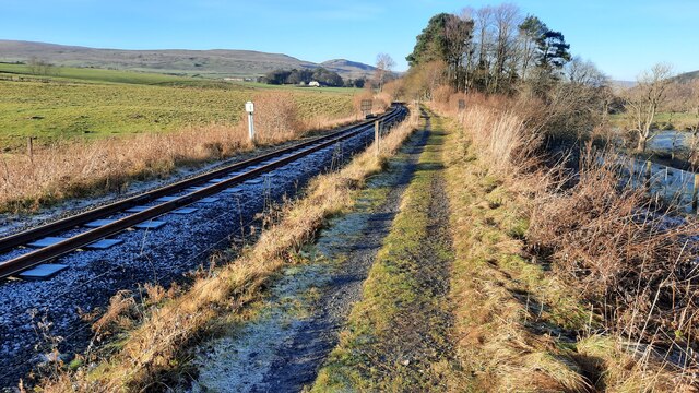
Alston railway station
Alston is a heritage railway station on the South Tynedale Railway. The station, situated 13 miles (21 km) south of Haltwhistle, is in the market town...

Alston Town Hall
Alston Town Hall is a municipal building in Front Street, Alston, Cumbria, England. The town hall, which is currently used as a public library, is a Grade...

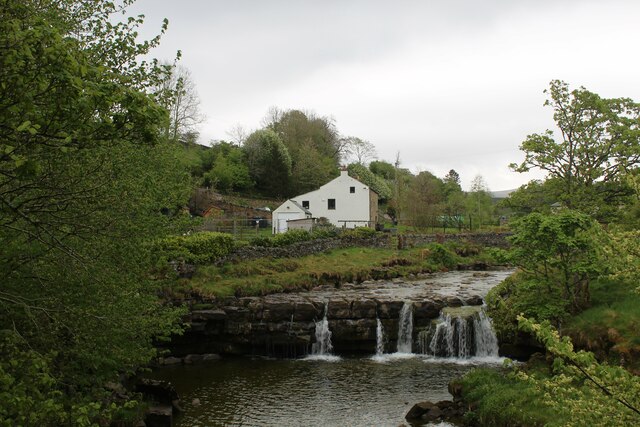
Alston Moor
Alston Moor, formerly known as Alston with Garrigill, is a civil parish and electoral ward in the Westmorland and Furness district, in the ceremonial county...

Samuel King's School
Samuel King's School is a mixed secondary school located in Alston in the English county of Cumbria. As of 2017 it had 73 students on roll. It is a comprehensive...

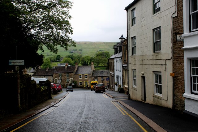
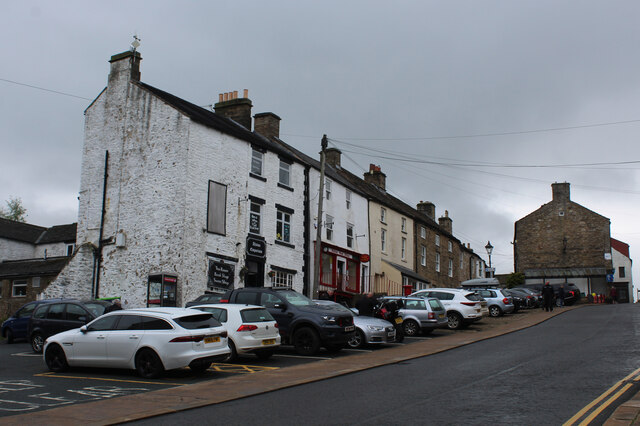
Alston, Cumbria
Alston is a town in Westmorland and Furness, Cumbria, England, within the civil parish of Alston Moor on the River South Tyne. It shares the title of the...
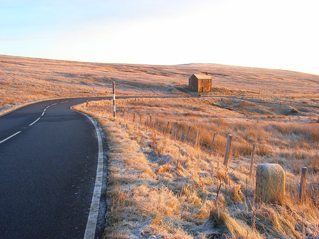
A686 road
The A686 is a road in Northern England. It runs from Penrith in Cumbria to Haydon Bridge in Northumberland. AA Magazine named the A686 as one of their...
Bayles, Cumbria
Bayles is a hamlet near Alston in Cumbria, England.
Gilderdale Halt railway station
Gilderdale Halt railway station, also known as Gilderdale railway station, served the town of Alston, Cumbria, England, from 1986 to 1999 on the South...
Nearby Amenities
Located within 500m of 54.814732,-2.4457037Have you been to Hallhill Plantation?
Leave your review of Hallhill Plantation below (or comments, questions and feedback).